DANUBEparksCONNECTED Bridging the Danube Protected Areas towards a Danube Habitat Corridor

Cycling the Danube in Serbia


FRUŠKA GORA NATIONAL PARK - In the realm of the forest


After a long drive at the bottom of the endless fertile plain that used to be the bottom of the Pannonian Sea, one cannot but notice the long, green ridge on the right side of the Danube that is slowly rising in the direction of Novi Sad. That is Fruška gora, a 80 km long low mountain. (Today. But for 9 million years it used to be an island of the Pannonian Sea.)

Novi Sad is the second-largest city in Serbia (which doesn't mean it's big, having only 250,000 inhabitants), and while it is debatable that its main summer attractions - sunbathing on the city beach and sweating at the Exit festival – were as good 20 million years ago as they are today, one thing is sure: Sremska Kamenica, its suburban settlement on the rightbank of the river, is the seat of the Fruška gora National Park Directorate. 

„Gora“ is an old Serbian word for mountain, while „Fruška“ comes from an old Serbian word for Frankish people - „Frankish mountain“ indicates that the Franks (who would say that) inhabited or controlled this area while clashing with the Roman empire. The Roman name for it was Alma Mons, the "fertile mount" where first grapevines were planted in the 3rd century of our era, during the reign of the emperor Marcus Aurelius Probus (born in the nearby Sirmium). 

The mountain is a natural geological phenomenon: it is built from the rocks from almost all geological periods of the Earth. And the National Park is an administrative phenomenon: it might be the largest missing child of the DANUBEPARKS brotherhood. But while it is not a member yet, due to its size and importance, as well as its inevitable future membership, it couldn’t be skipped. 

So I headed to the main office in Sremska Kamenica, and they then quickly took me up the brutal mountain whose summit was at a deadly altitude of 538 meters above sea level. Ok, “brutal” and “deadly” is probably a bit exaggerated if you can set yourself a limit at how much you should drink while visiting many wine cellars there. A (psychologically) important thing to know is that Fruška Gora divides the wide region of Srem into two geographically distinct parts: Wine Srem (upper or mountainous) and, well, Pork Srem (lowland). But to imagine ascending to Fruška gora as an escape from a geologically newer but smelly Pannonian sea of pigs, would be totally wrong: locals say that there is just enough pork meat around to boost the pleasure of wine :)


The first person to meet and talk to was Mr. Konstantin Plužarević, an Assistant of the Director for Protection and Development:

In front of the Fruška gora Info Center,
with Konstantin Plužarević and Dragiša Savić

“The national park Fruška Gora was declared in 1960 and covers an area of 267 km2. This territory comprises 8 municipalities and 44 local communities and obviously is exposed to urban pressure. There are more than 14 paved entrances to the Park, plus there are many other field roads that also enter the Park. The traffic on some of these roads is heavy, especially on the road M21 that comes from the town of Sremska Mitrovica (the historical Sirmium) with over 20,000 vehicles a day. On other local roads there is an average of 2000 vehicles in 8 hours. There is a road that goes all along the 80 km long ridge of Fruska Gora ridge. It has been reconstructed (re-paved) at the first part and now the Regional Development Agency Srem is a preparing technical documentation project for the next reconstruction phase. It is nice to have such a good basic infrastructure in the Park, but we must maintain control over its consequences.


Very important for us is a planned tunnel that will go under Fruška Gora, in the direction Novi Sad – Belgrade. Technical documentation is already done, and it will crucially reduce the traffic pressure on the whole mountain.”

The Park is not a member of DANUBEPARKS. Why is that?

“For 60 years the Park was managing the part of the Danube from Bačka Palanka to Beška, in the length of 64 km. We were first in Serbia by the number of fishery staff and carried out a detailed control of fish and fishing in that section, managing to remove and confiscate up to 120 km of illegal fishing nets annually.

However, that section of the Danube was recently awarded to the state company “Vojvodinavode” for a 10-year period. Vojvodinavode manages most of the flora and fauna along the Danube in the  Vojvodina province, but this was a serious blow to us - among other things, as the National Park was extending along the Danube, we planned to connect with the DANUBEPARKS association on that basis. Now we are a bit isolated from the Danube and this plan will stay hold on for a while – we first have to get back our part of the river.”


The dense forest that covers Fruška gora is really impressive

“Next year we will celebrate 60 years of the Park. We started from 2.5 million cubic meters of timber and now we have more than 6 million - mostly lime trees and oak. But the Park forest estate is generally too old. Many think that it is economically viable, but nursing measures are in some areas more expensive than the economic benefits of those measures.

We actually consider lime trees an aggressive species because they occupy oak habitats. Not every type of land can provide the quality that oak requires – a deep soil and plenty of food. (While pine, for example, thrives on shallow soils with little food.)

And one has to be careful when trying to improve the situation as system errors are only visible after a long time, e.g. after 120 years. An example with pine trees: they were planted all over the former Yugoslavia during popular and massive public volunteer work actions – but it wasn’t the sort suitable for all parts of the country. And being “not suitable” can mean a disaster: a few years ago, a storm in the High Tatras brought down 75,000 ha of spruce in just one night because its root system was too shallow.

The tree sorts of Fruška gora

There is quite a lot of deer here?

“Ten years ago we reintroduced the European deer (Cervus elaphus) with specimens that we got from Hungary. This species has vanished in the region but now we have more than 300 individuals. We even gave some of our deer to other parks and protected areas in Serbia, while the rest have been released into the area around the Ravne Eco-Center. 

The Eco-Center is housed in a villa built in the late 19th century by Count Arturo Odeskalski. After World War II it became state property. The roof was damaged during the 1999 NATO bombing and collapsed after that. We are negotiating with the Government of the Province of Vojvodina on the transfer of the villa to our property, and want also to return the rest of its original inventory (which is presently also stored in Government warehouses).

Our mouflons and Fallow deer are allochthonous species here, they have never lived on Fruška gora. Despite the fact that we have had mouflons in the Park for many years, no genetic refreshment of their population has been done. However, some time ago we received 30 new specimens from Slovakia.

We are currently in the final phase of bringing a family of the European Bison (Zubr or Visent / Bison bonasus) from Poland. Bisons will be an attraction and will live in a separately fenced area.

A problem that I would like to point out is that our wildlife sometimes manages to get out of the Park and then easily falls victim to local poachers. (We don't have poaching in the park.)


Fruška gora is not only wildlife and forest, there also are man-made attractions here?

There are 17 monasteries here, that is why the mountain is called Mount Athos of Serbia. All the monasteries are formally outside the Park borders, but a total of 6000 ha of their forests are located in the Park, and we manage them. (Despite the fact that these forests, which were nationalized after World War II, were formally returned to the monasteries three years ago.)

There are 14 lakes in Fruška Gora and three more are located along the wider mountain zone. All of them are artificial, formed in the 1970s and 1980s with the aim of preventing the flooding of arable land while ensuring its irrigation. Three lakes (Sot, Bruja and Moharac) are within the boundaries of the park. The rights to manage these lakes are granted through public competitions announced by the state.

We have a mountain marathon that has been held in Fruska Gora for 42 years now, and there is a cycling marathon for the last couple of decades. (Trails for both of these sports also partially run across the monasteries lands.)”


Some more planned development in the near future?

“The Park has a buffer zone along its real border, and we try to take care of that part too. The State Institute for Nature Conservation is currently working on a study that would put the Beočin Road – one of the roads that climb to Fruška gora from Novi Sad’s side - under protection.”

My next conversationalist was Mr. Dragiša Savić - a biologist, nature protection and flora & fauna improvement officer in the Park

Dragiša with a typical info-board for hikers

“Fruška Gora does not look like a protected area that provides great biodiversity - it is only 500 meters high, barely qualifying to be a mountain. But this mountain refutes the theory, for several reasons. 

At the first place, the location is crucial for biodiversity because the mountain is located on the edge of the vast plain where four geographical areas touch: Pannonian, Moesian, Illyrian and Dacian. Each of them has their own set of living things, but here we have each of those sets.

Secondly, while due to its small height Fruška Gora could be mistaken as a geological “teenager”, it is actually over 300 million years old. The composition of the soil is dominated by limestone, with some siliceous soil.

Due to the above mentioned low altitude, there are only deciduous forests in Fruska Gora, but they are dominant and semi-dominant forests. In most parts of northern Europe, there are spruce forests (taiga), but coniferous forests are much poorer than deciduous forests when it comes to the diversity of the living world.

What is there to confirm that diversity more specifically?

There are 1000 species of plants within the boundaries of the Park and 1400 species throughout the whole Fruška gora. When compared to other mountains, one can see how strong this is. (Another comparison to get a better picture: the whole of the United Kingdom has about 2500 species and the whole of Serbia about 3500 species.)


There are no endemic plant species in Fruska Gora but about 70 of them are listed strictly in Serbia. There are as many as 30 species of orchids, who like stable habitats. 

Oh, and mushrooms… in this sense, Fruška Gora is definitely the most explored mountain in Serbia. “ There are 1800 species of fungi confirmed at present here, but certainly even more than that.”

What I can add is that Dragiša, who earned his doctorate in after a decade of mushroom and fungi research, actually was the one who upgraded the status of the Fruška gora mushrooms population to the level of  “most explored in Serbia” :) And it is definitely worth visiting his website “Nature of FG”, where he has exhibited an incredible collection: 10,000 photographs of 4500 species of plants, animals and fungi of Fruška gora.

”A lot of fungi are actually so small that you need magnifying-glass to see them”

“As about animals: we have 60 mammal species, 220 bird species and a minimum of 10,000 invertebrate species, which have not been sufficiently investigated. Butterflies alone have 1000 species and there are 350 species of spiders.”

These numbers seem to indicate that an above average (for Serbia) research work was done in the past?

“Serbia is generally under-explored in this regard, but as Fruška Gora is close to Novi Sad it is above average. Most research has been done since WW II and while the mountain was proclaimed a national park in 1960 mostly to protect forests, only after that was the true extent of biodiversity discovered, which gave the Park its full meaning.

And there is also a rich geological and fossil heritage?

Numerous, millions of years old, fossils of plants - palm, laurel and cinnamon - have been found in Fruska Gora. 

There are 14 specially protected geological-paleontological sites that witness to the time when Fruška gora was an island in the Pannonian Sea. These are underground locations that very rarely can be found simply by walking around. The most interesting one is at the monastery Grgeteg and was explored 100 years ago by the Austrians. It is special and rare a sense that all layers from the stages of Earth's formation can be seen there. On this basis even some aspects of Darwin's theory have been proved, while some of the fossils found there can be seen now in the Vienna Museum

What can we say about the birds in the Park?

For the past 20 years the Imperial eagle has been the symbol of the NP. We also had the last two couples of the Golden eagle (Aquila heliaca) in Serbia and they were put under the first level of protection, but three years ago they disappeared. Squirrels (Spermophilus citellus) are their main food and they are protected as well, but as former swamp-and-steppe Vojvodina was drained and turned into arable land (similar to what’s happened in Hungary), there are no many squirrels left there (most of them now still remain on Fruška gora). However, two pairs of these eagles appeared in the nearby Bačka region – and they could be the same birds. 

There are more white-tailed eagles: over 100 couples in Serbia. There are about 20 of them in our area and they nest along the Danube, not on Fruška gora. But they come here to a feeding spot which offers pigs from the surrounding farms. That way they do not have to wander far away for food, which reduces the risks for them.”

You mentioned that there have been some small but important additions to the Park area in the recent past?

“The vegetation if Fruška gora is a forest-steppe type, that is a mosaic of forests and (on the perimeter) of meadow-steppe. Until a few years ago, meadows were outside the NP boundaries, but because of their high value (mostly due to orchids - there are 9 sorts of them on just one meadow above Beočin village), they were added to the Park. (Some meadow-steppes are on the edge of the Park and some are "enclaves".)

By the way, the protection here is not based on the type of property, be it private or state. The state prescribes what has to be obeyed regarding nature protection and then it must be respected even on the private property.”

So, which levels of protection are there?

The first level (strongest - any activities are forbidden and entry is only possible with an escort),  then the second and third one. The first level is applied to about 3% of the NP area. The second level is applied to most of the territory. The third protection zone covers sections along roads and quarries.”

Do you cooperate with the general public to perform some tasks in the Park? 
”Each meadow biologically tends to turn into a forest (the process is called succession) and this is prevented or slowed down by grazing. But Serbia does not have very rich livestock anymore - that is why we cooperate with students (funds are provided by the state) to clear the most important meadows. It is enough to do this once in a few years.”

What is generally the state of the forests here? Did you have problems to reach a certain level of quality, do you have problems to maintain it now?

“The NP is not funded from the state budget but uses commercial forestry in the level 2 protection zones to generate revenue. This type of forestry is conducted in accordance with specific principles – the point is not to just cut down a tree, but to improve the forest.

At the time when the NP was established its forests were pretty bad. More than 1000 years ago this was a rainforest of 170,000 ha but it has been shrinking over the centuries, turning the former rainforest to 23,000 ha of plain forest. The Counts of the Austro-Hungarian Monarchy used to mercilessly cut down good quality trees and to leave the cut areas to renew themselves. The consequence was that the lime trees spread rapidly.  The oak does not easily grow from the stump but the lime tree does - that is why the lime tree easily wins the race and conquers the terrain. Fruška Gora was practically three times completely "trimmed down" and left to rebuild itself, so at the moment of the Park founding 90% of its area was under forest grown from stumps (so-called stump or sprout forests).

But what we want is the so-called "tall" forests, created by growing from seed. Turning the stump forest into a tall forest is a slow and expensive business. It takes about twenty years to implement the necessary measures - and only then forest can be left to further develop by itself. It is rarely the case that all the trees are cut down in one zone (the so-called "bare cut"). Instead, it is done gradually.


Luckily, diseases (forest drying, etc.) have not been observed in Fruška gora. Our forestry is based on ten-year plans. These plans are prepared by the Faculty of Forestry and approved by the state.”


Tourism is something that is always in the plans of green areas along the Danube. Is it the same here?

Tourism on Fruška gora is of the excursion type. We have 250 km of marked hiking trails. But it is nice to mention that the number of bicycles has increased 10 times (which is not a problem because cyclists ride on existing trails - the problem is to some extent motorcyclists who ride off the asphalt, and that is not allowed). But it looks that there is not much room to make money from tourism: because of the urban environment in which the mountain is located and the openness of the area, it is difficult to charge tickets. Also, the roads in the Park are public ones. Therefore, the revenue from this type of economic activity in our case will always be much less than revenue from the forestry. “

The mountain is surrounded by urban areas…

“Well, there are no truly wild zones in Fruška gora at all. And there are as much as 54 settlements around it.”

Which problems does that fact bring?

“The key problem of Fruška gora is its openness to the environment and large population on the mountain as well as in its surroundings. It has been attacked in various, but mostly discrete ways, and that is difficult to prevent. When we report offenders, the trial is typically dragged on for several years, and eventually the majority of offenders are released.

Our guard service has about 16 employees assigned by the zones and these are our rangers (the official name is "nature guards"). They are not paid by the NP but by the state.”

How does it look to be the sole biologist among forestry engineers? Dragiša will not say that he is completely relaxed among the colleagues who are in some sense "opponents" to a biologist. Forests must be (sometimes a bit strenuously) "defended" from them - but at the end of a day, he enjoys his workplace. And that is in nature, watching the living world of the Park.

*

The Info Center of the Fruška Gora National Park was opened two years ago. It is located in a former restaurant located exactly on the pass that divides the southern and northern side of the mountain. The center has an exhibition area as well as a central hall for presentations and receptions. A lot of work is being done to educate children - tours, excursions, lectures...

Among the before mentioned 250 km of hiking trails, there are four special hiking trails - each about 10 km in length. Near the Center there is start of an educational trail which is 800 m long and can be walked in one hour. There are ten panels along the course, covering ten different topics in the nature of Fruška gora.

For the last five years, the Park has also been offering mountain bike rentals - 10 in the Center and 10 in the head office in Sremska Kamenica.


f

The friendly marking on Fruška gora hiking trails    Cycling friendly space near the Center entrance

The eco-camp at Straižlovo (a popular picnic area of ​​ Sremski Karlovci and Novi Sad) belongs to the Park, but was unfortunately rented to a private user two weeks ago - it didn’t look interesting enough to the current Province authorities.

Below: ”The monument to the human negligence” – an artwork near the entrance of the Info Center.


Special Nature reserve Koviljsko - Petrovaradinski rit (Vojvodinasume) - An Amazon for the dwellers of Novi Sad who doesn't like to travel far from home


Koviljsko-Petrovaradinski rit (KPR) is a complex of bar-swamp and forest ecosystems in southeastern Bačka (region in the Vojvodina province of Serbia). It spans from town Petrovaradin to village Gardinovci (past Beska bridge on the Danube) as one functionally integrated unit. Main values of the KPR are the conservation and diversity of native relief and hydrographic forms of its rits, river islands (so-called “adas”) and arms, ponds, swamps. Then there is the conservation, diversity and richness of native plant habitats (forests, meadows, reeds) and the fauna (206 birds species and 24 fish species, mostly from the carp family). White and yellow water lily are specially protected as endangered species, but there are other protected plant and animal species in the Reserve.

Our team - preparing for a day full of fun and discoveries

The KPR was proclaimed as the internationally important bird area (IBA) in 1989 and an important plants area (IPA) in 2005. In 2004, it was included in the list of protected areas dependent on the water and significant for the Danube Basin (ICPDR). Since 2012 it has been listed as a wetland of the Ramsar Convention.

The typical landscape here is backwaters, sand dunes, and meadows. The Reserve is natural retention and with Apatinski rit (on the opposite side of Kopački rit in Croatia) it represents the most preserved floodplain in Serbia. Since it is a natural fish spawn area, only sport fishing is allowed and only out of the spawning season.

When I arrived at the headquarters in Kovilj (a suburban settlement of the city of Novi Sad but actually a small town of its own with about 10,000 inhabitants) there was already a nice mix of local school kids and a group of cycling enthusiasts – a good team to explore what the day had to offer. 

Our hosts were officials of the Reserve headed by Mrs. Ivana Vasić, an expert associate for protected areas and environmental protection. As the main organizer of the visit, Ivana gave us basic short facts about the Reserve and showered us with a “teaser” of the things that were waiting for us out there. 

Mrs. Ivana Vasić, our host in the Reserve

Briefing before the action… the tension is growing, expectations as well.
We expect no less than scenes of the wild world that were then never seen before…
But we will also be happy with a heron or swan here and there :)

Accommodated in three boats, our cheerful invasion forces took course along the main channel of the Koviljski rit. I hoped that I could obtain at least some kind of an honorable function in my boat, but as all the kids were much more experienced than me (sailing around several times in the past), I didn’t have a chance to be even a deck boy and could only listen to what they had to say to me. 

Mrs. Sladjana Dabić, an expert associate for cultivation and protection of forests, introduced me to the channel story: 

“On the part called Shlais the average water depth is 10m, while on the part that we are passing by right now it is 2-3m. The water areas of Koviljski rit are muddied by sediment as agricultural land is washed away and a large amount of organic matter enters the water. Therefore, Vojvodinašume (“Vojvodina Forests”) had to begin with the removal of sludge. In more shallow and accessible areas we do it with a long arm excavator, while in less accessible places (mainly where willows grow) we have to use a floating excavator. This is a constant fight and not easy one: millions of euros are needed for this type of work while what we have here is actually a microsite, comparing with the whole area that we have under our control in the Vojvodina Province.”

Preparing for the sail…


It is never easy to protect and conservate green areas along the Danube, but what are other, specific problems that you have here?

“The rit is open in the sense that there are many entrances to it. Hence, it is difficult to control the entering points and visitors. The total Protected Area has 5900 ha, of which Kovilj part has 4000 ha and Petrovaradin part 1900 ha. Until recently there were six guardians of the Protected Area, but the newer legal regulations allow only one officer of a specific type per every 3000 ha of a surface. So Kovilj and Petrovaradin parts can have only one of them, per each area. As a result, here in the Kovilj part we have only one nature guard, one fishery guard and one hunt guard.”

Every PA along the Danube has a goal to protect some endangered species... 

You are especially proud of eagles?

„We have six nests of white-tailed eagles and there are cubs in some of them right now. This is an extremely rare and sensitive species of bird listed in the World Red List. With a wingspan of about two meters and extremely strong, it also barely can stand enclosure. The rescue of every specimen is a major event and every such case is registered with the London Ornithological Archive – that testifies to the importance of this increasingly endangered species. 

Eleven nests of this bird are mapped and regularly monitored in the “Gornje Podunvalje” Nature Reserve (from the Danube entrance to Serbia and down to Apatin). But no one can exactly say what is the exact number of them in this region, as they often have more than one nest. 

If a new nest of the White-tailed eagle is observed here, a zone of 100 around it is immediately closed for any human access or activity. During the nesting period (which lasts from mid-December to mid-June) this range is increased to 200m.”

We have to keep an eye on other wild animals as well. When the level of the Danube greatly increases, game (especially deer) climb high soil beams and foresters have to pick them from there and transport them to safety. There are also jackals here, but not like in Banat and around Sremska Mitrovica, where there are a lot of them.  

The KPR has the same problem as other PA’s in Serbia: a need to manage finances through commercial exploitation of available natural resources. And again, the primary commercial activity of this reserve is forestry. But there is another source of income that has good potential for the future; considering the short distance between Novi Sad (20km) and Belgrade (60km), and the immediate vicinity of the E75 highway, the Special Reserve of Nature Koviljsko-Petrovaradin Rit has outstanding opportunities for establishing and developing tourism and tourist offer in general. Cooperation with the Mountain Movement of town Sremski Karlovci is a good way to use these opportunities while bringing benefits for both partners.

The educational trail on the site “Kurjačka greda” is 1000 m long and suitable for small groups of visitors. The Shlais locality is one of the most visited and attractive sites in the entire reserve. It is closest to the Kovilj settlement and forms a nice pleasure zone for nature lovers, fishermen, and walkers. There is a possibility of renting boats and fishing at the Shlais.

The Tikvara locality is located by the embankment, next to the local road and in the immediate vicinity of the Kovilj monastery. An Ecological-educational Center that was built on this site consists of an outdoor  ecological classroom and a birdwatching tower offering views of the surrounding forest and ponds. The Center has the capacity to accommodate 20-30 students.

The Kovilj Monastery from the 13th century has particular importance and brings an additional attraction to this area as an integral part of the offerings. 

And we entered another canal that was dug to increase the flow but also to provide a roundabout for another attraction: the circular tour aboard a tourist catamaran (provided through a project conveyed by the Mountain Movement of Sremski Karlovci). 

But...

“But the people from Novi Sad still are not in the habit of coming here”, says Sladjana. “We have to promote our offer a lot more.”

But…

“But while missing public awareness of the tourist attractiveness of this area, we still “enjoy” a nature conservation problem that is typical for PA’s which are close to big settlements. The town of Kovilj has about 10,000 inhabitants and it puts a lot of pressure on the Reserve. Trucks carrying logs are destroying the gravel road atop the embankment. 

Cows that are left unattended destroy thousands of acres of tree seedlings -  first by using them to scratch themselves and then by eating their herbaceous canopies. Despite frequent reports and even litigations, there is no necessary level of understanding of the state authorities. At the nearby reserve Obedska bara, “Vojvodinašume” gives large areas to the cattlemen and the benefit is mutual. But as livestock production is declining in Serbia, small producers are choking and there are fewer and fewer real livestock farmers: many of them are actually struggling just to bite into agricultural projects and to come up with the money that way.”
 

Unlike NP Fruška gora, the KPR has to fight several significant plant diseases. The fungus disease "Dothichiza canker of poplar” (Dothichiza populea) decimated the black poplar in the past - that is why the Institute for Lowland Forestry is constantly introducing the production of poplar river clones. 

“Conditions have changed a lot in modern times and new clones have to be introduced because it is very dangerous to have only one variety on the whole surface. “

(Speaking of poplars, there was an edifying strategical mistake that was made in the past in the Srem region, shared with Croatia: while it actually was not an area suitable for intensive poplar cultivation, after a bug pulp factory was built in Sremska Mitrovica poplar plantations were established everywhere, to feed the factory. But the poplar likes to "swim" for a while, and dry areas far from rivers and channels definitely were not friendly habitats for this tree. So commercial results were obviously not that great.)

Ash and oak (Quercus robur) suffer from Chalara fraxinea - dying of peak shoots. As Sladjana explained to me, it is caused here by heavy traffic (the dust raised by heavy truck wheels has a specially bad influence). The oaks are also attacked by the chiggers and fungi disease Powdery mildew (Microsphaera alphitoides) that choke them and take their maturation energy.

There is also constant pressure from invasive species. Ash (pajasen) and Amorpha fruticosa (sometimes referred as a sort of acacia because of the look of the leaves which reminds that of the Acacia sp.) are very expansive and difficult to control because use of pesticides is not allowed in the protected area. The only natural way to suppress it is the livestock, that likes to eat them.
Free-floating water weeds (duckweeds or Lemna) are also aggressive and reduce the amount of oxygen available for fish. 
Let’s also mention the interesting "honeydew" - excrement of caterpillars that drips from the forest branches as a "drizzle", It is not harmful to plants - but it is a strong allergen.

One thing that Sladjana didn’t want to miss at the end of the boat ride: “In 2016, after a visit to the monastery of Kovilj, Prince Charles also went on this same boat tour that we did!”

In the background: the deadly cows of Kovilj

But for her, the best is… “Every new forest wherever there wasn't one. The vast flat space of Vojvodina has been over time transformed into a granary, but Vojvodina therefore also became one of the European zones with the most disappeared forests. The European recommendation of 0.16 ha of forest per capita cannot be fulfilled here. Only 6.5% of the province is under forest and mentioned recommendation would require 13% under forest - twice as much. Three years ago, the Provincial Government allocated 5000 ha for afforestation purposes, but in the form of small areas where it is difficult to maintain and defend the forest. Here, the forest is also cut down by the church.

Every March in the Petrovaradin part of the Reserve, local villagers burn the reeds which often causes fires in which 20-30 ha are burned down. There is little relief in the fact that this happens before the migratory birds return. It takes 15 years for the oak to reach a diameter of 15-20 cm, and its rotation coppice lasts 120-180 years (or about six generations of forestry engineers). That's why the damage is so huge when a fire enters the forest.”

Ivana Vasić wanted to note this: “For me, our biggest success is the multifunctional use of the territory: forestry, fishing, hunting and tourism, while protecting nature. And it turns out that it's all possible to have all of it in the same place.”

A bite of pizza before cycling along the dam

After several kilometers of bicycle ride along the dam, we arrived at a point from where the catamaran would take us to Sremski Karlovci, at the right bank of the Danube. This is where I met Mr. Aleksa Jeftić, President of the Vojvodina Scouts Movement:

“The National Scouts Movement in Serbia was founded in the 1960s - next year we will mark 60 years of existence. During that time, over 340,000 ha of forests were planted in the territory of the country. In our local section, the last 15-20 years have been characterized by environmental education.

In 2006, we created the conditions for our own facility in Sremski Karlovci - an 18th-century building was purchased and our Educational Center was built there. The center has 46 beds and is also accessible for people with disabilities. Geothermal heating is provided. 

On a tourist catamaran, crossing the Danube to Sremski Karlovci

Five years ago, we joined a family of European youth centers - out of a total of 11, this is the only one located outside the European Union. We are unique in something else:while other youth centers are recognized and subsidized, we have to swim in the commercial market, and ensure sustainability through various programs and services to other organizations. For example, at the moment we have 30 guests from Czech Republic. And we are proud of the fact that every civilian organization that has used our services - has come again.

Eco-Center Radulovački


The heart of the geothermal heating room of the Center: these valves are a key for the magic. Heating water sinks through the pipelines to the depth of 125 m, gets warm down there and returns to the building. It is opposite in summer - the heat from the building is discharged through the pipes into the ground.

Cooperation with the Vojvodinašume goes back to the time of their founding and since then we have joint activities each year. We usually make plans for the season and then submit them to the Vojvodinašume, then they do their best to help us with mechanization when where we need it, etc. But even more important help is their expert work, advice and control.

The Scouts also organize work camps and one example was the renovation of the Karlovci arm - cutting and removing invasive species on the canal parallel to the Danube, on the length of 2250 m.

One poll found that a staggering 64% of school children in this region had never visited the Danube. And that is the reason why we continued to work on the channel, creating a shaded space for 20 children and cleaning an area where the future Visitor Center is planned.

Our Center is named "Radulovački", in memory of late Miodrag Radulovački (1933-2014), an American scientist of Serbian descent who financed the reconstruction of the house where the Center is located.

Very symbolic, he died during a visit to Sremski Karlovci in 2014. Another coincidence is that his birthday was on April 22, which is also Planet Earth Day, and that gives double inspiration to mark that day in our activities.

The view of Sremski Karlovci


The town is full of beautiful architecture - you can find details on the internet. But among all those man-made town landmarks I couldn’t resist to pick up this lovely, huge, protected sycamore that was…

… waving goodbye to me :)


Djerdap National Park
-From 6 kilometers to 150 meters: a spectacular squeeze on the Limes Moesiae


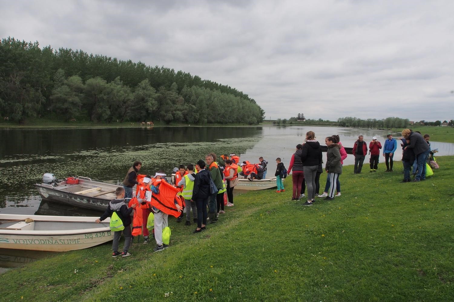
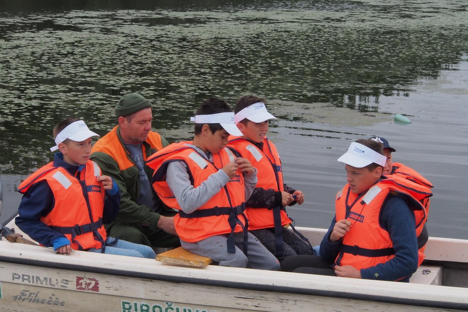
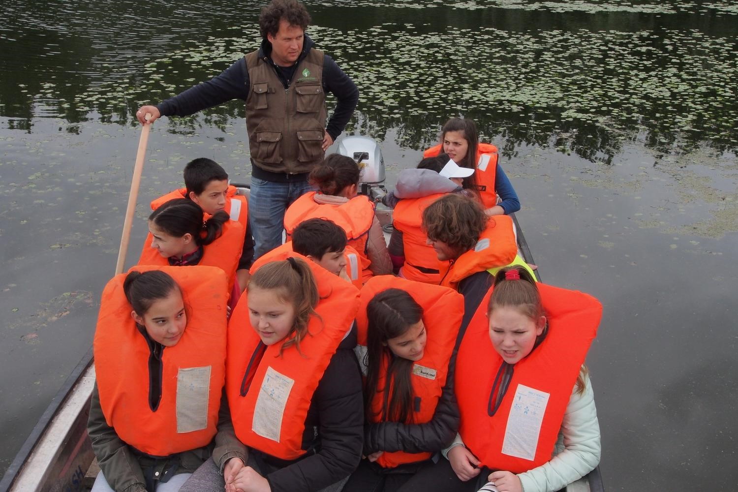
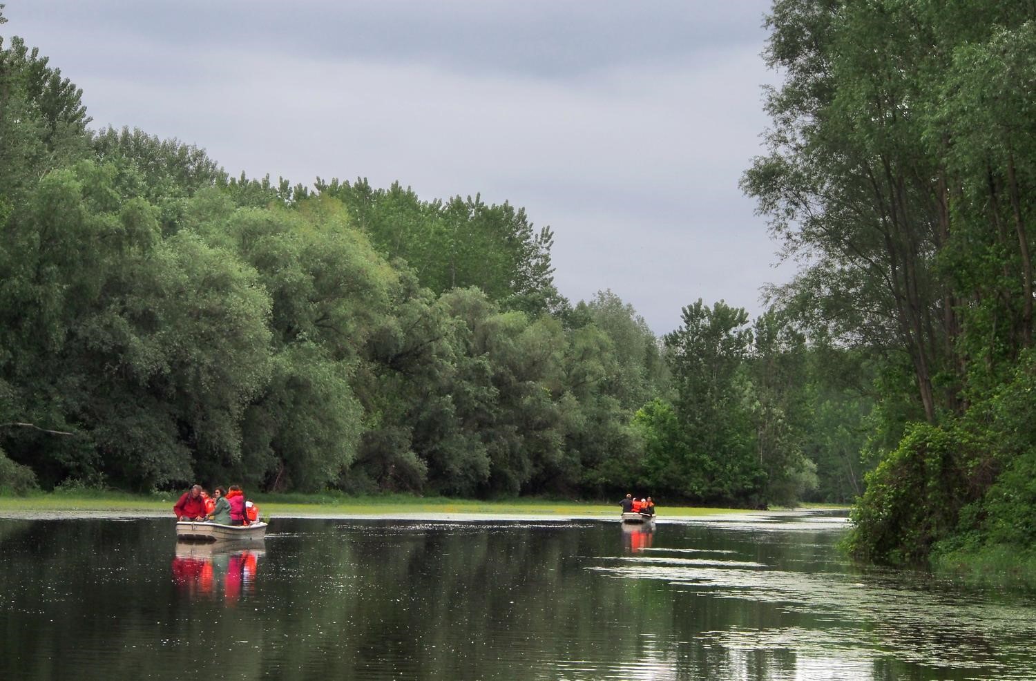
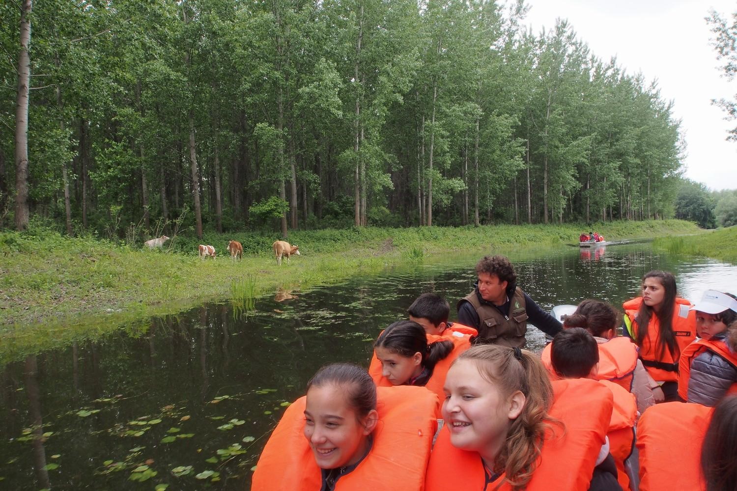
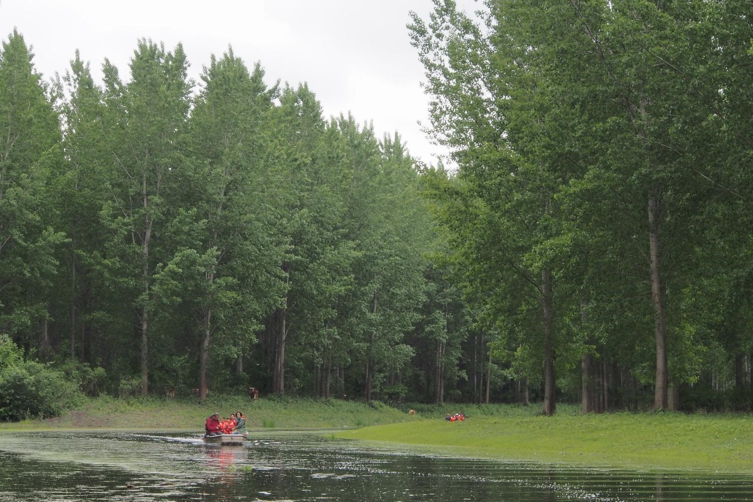
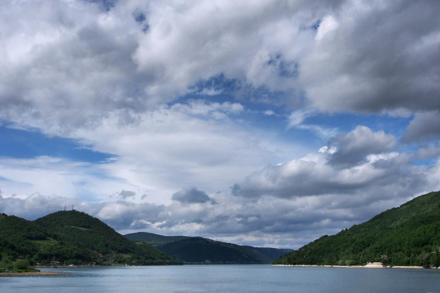
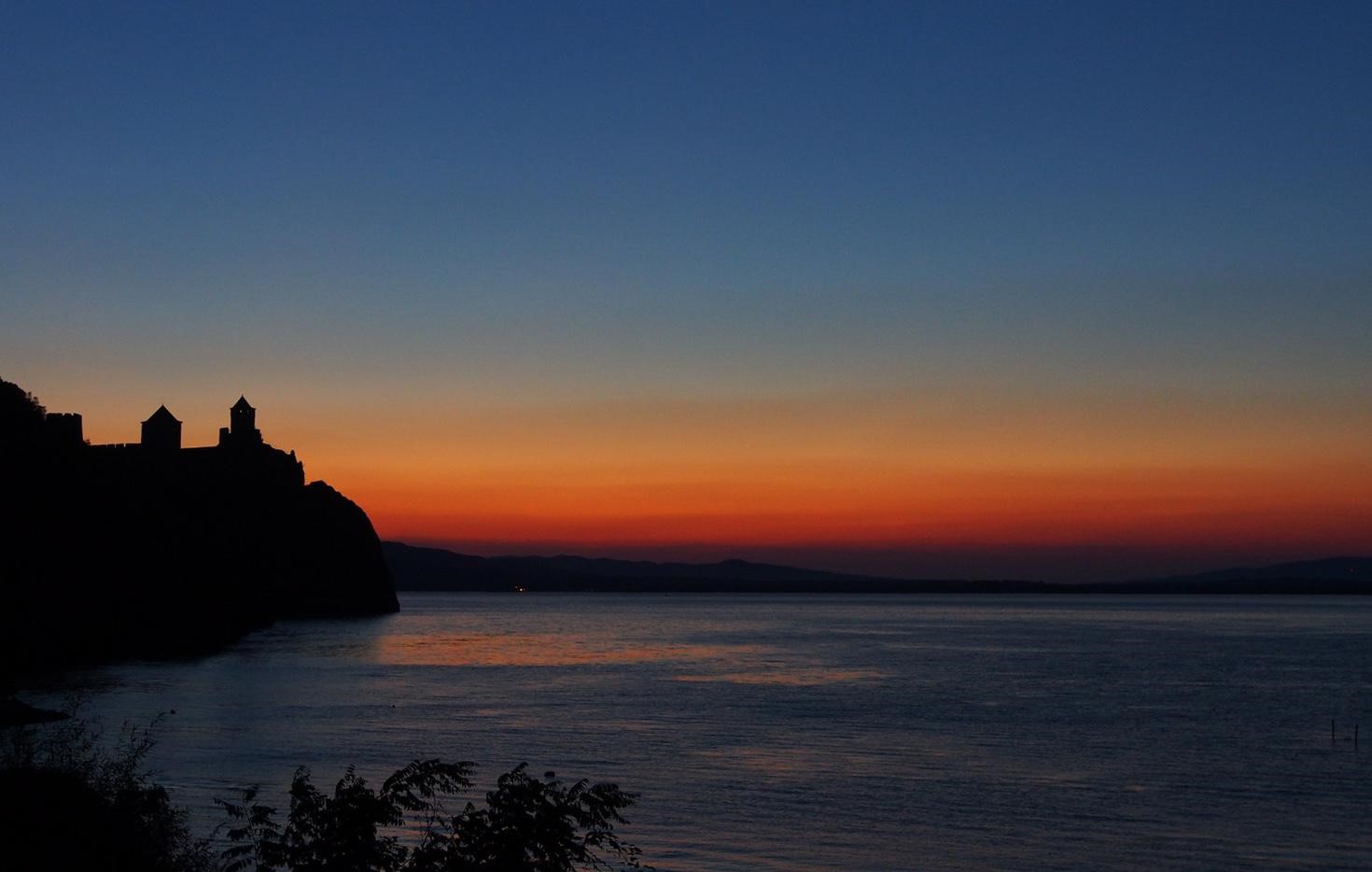
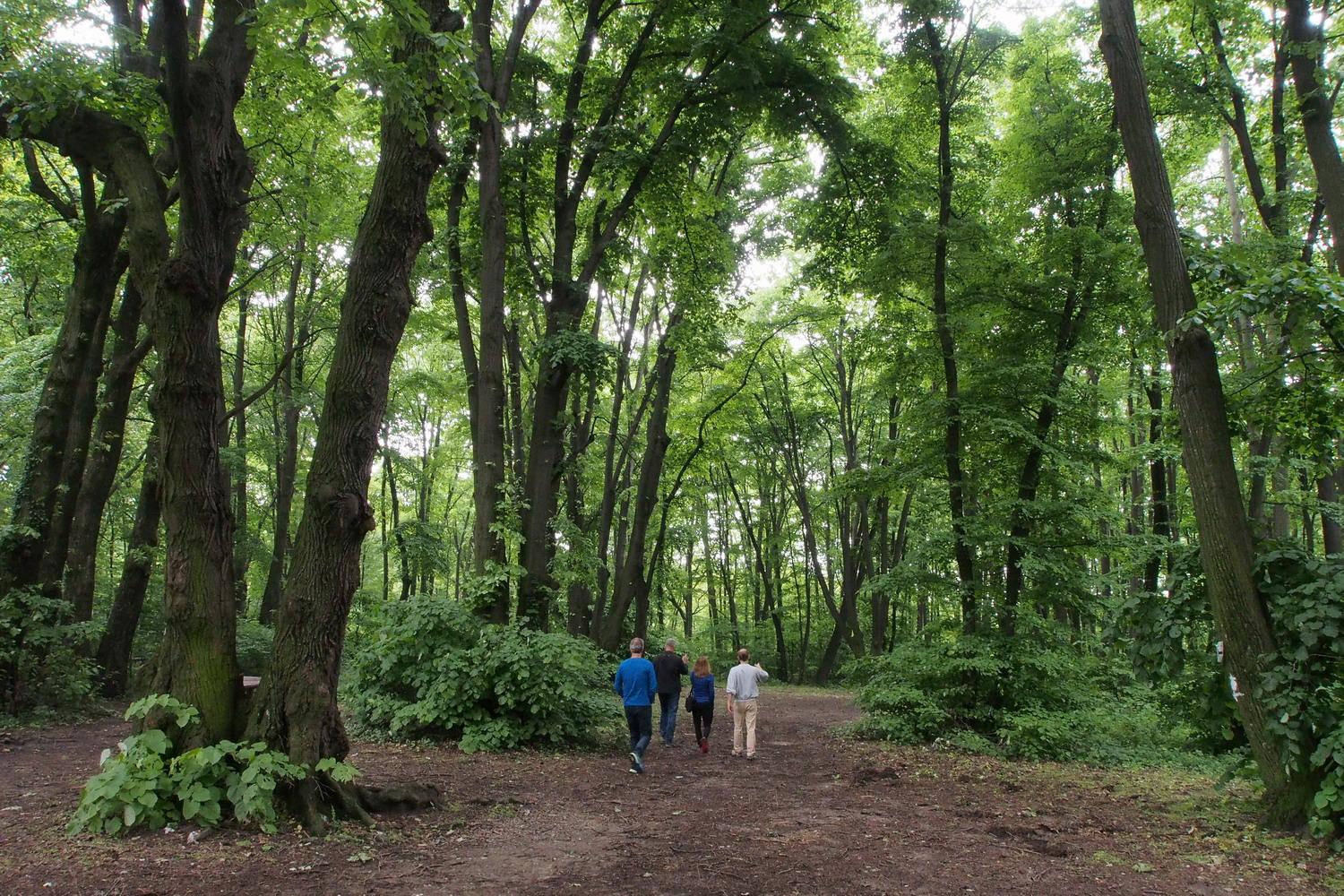
A visit to Djerdap, i.e. the Serbian side of the Iron Gates, should begin in Donji Milnovac, a small town located right in the middle of 120 km long gorge that is also the National Park.

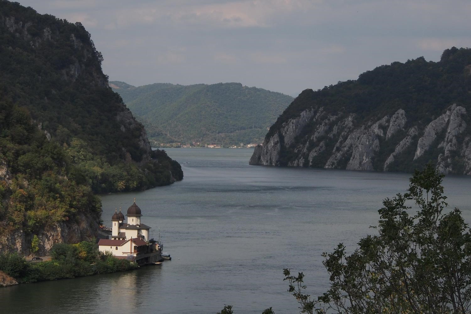
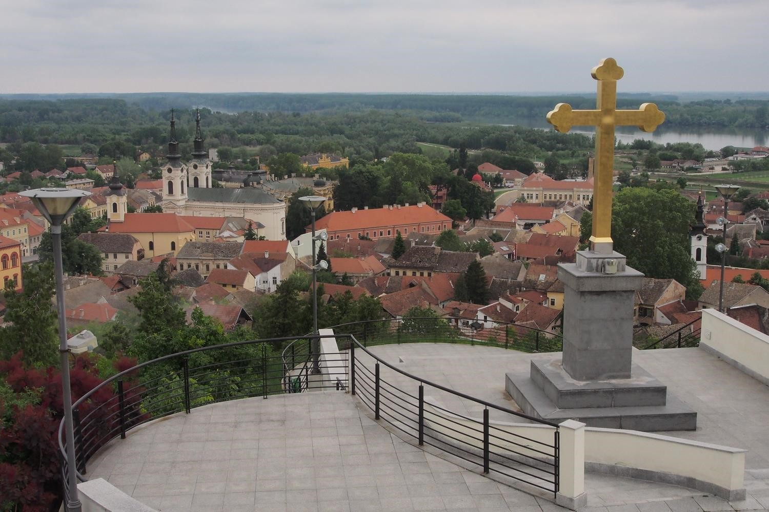
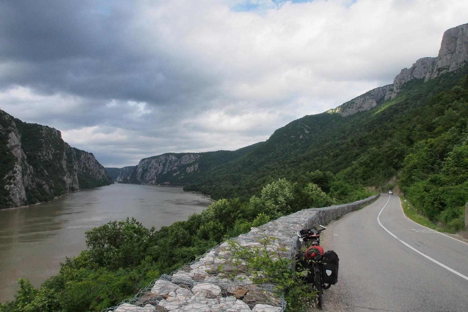
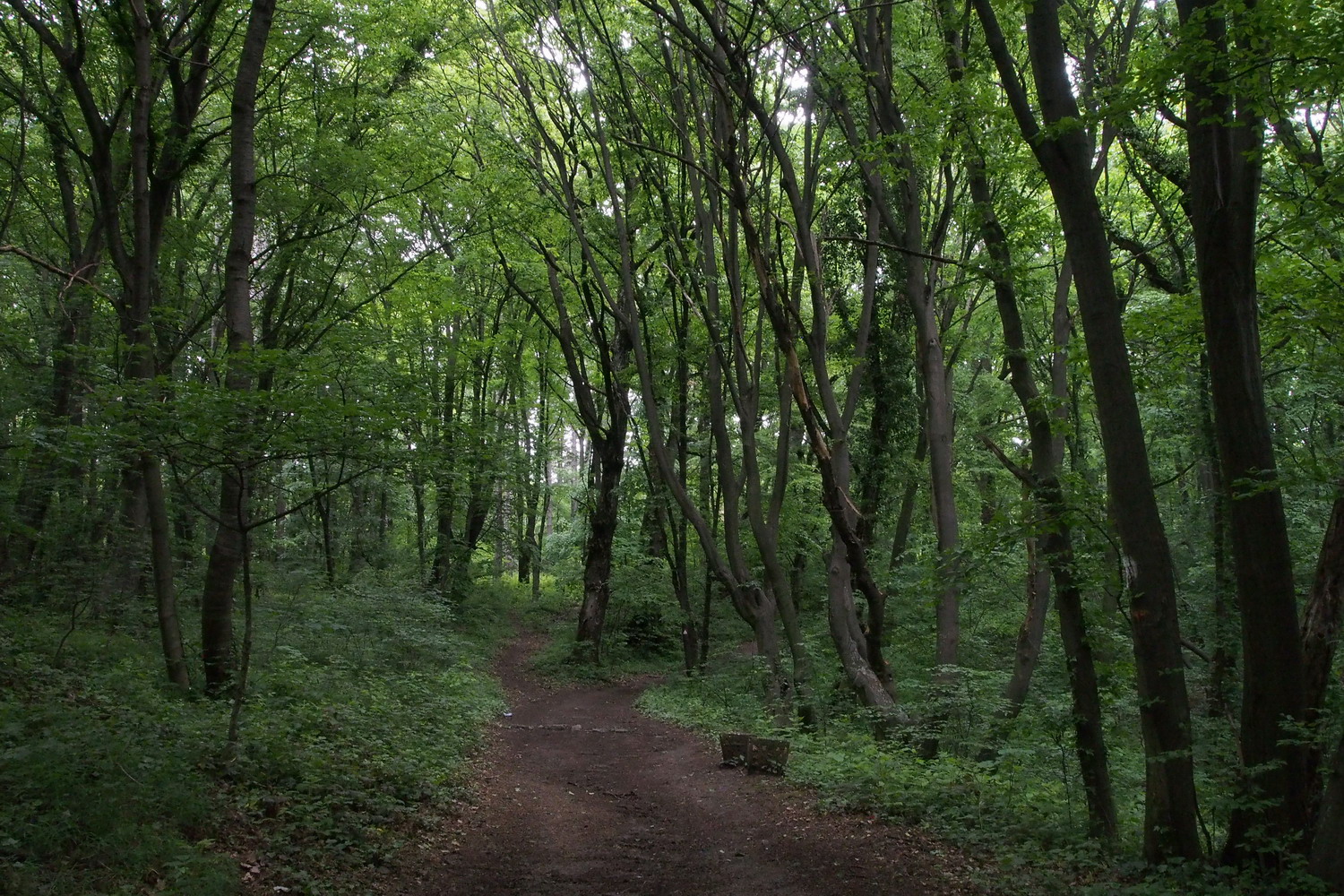
In the Iron gates gorge

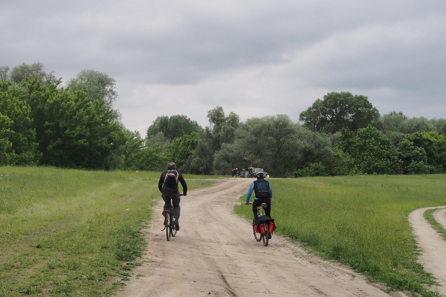
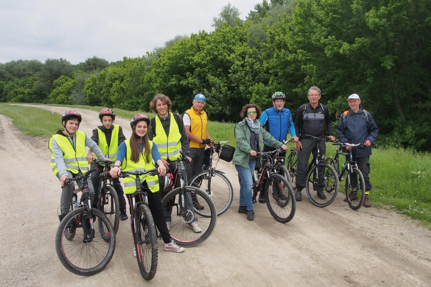
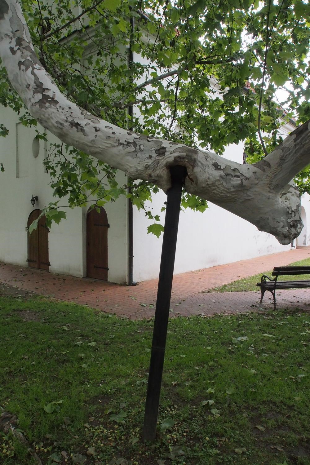
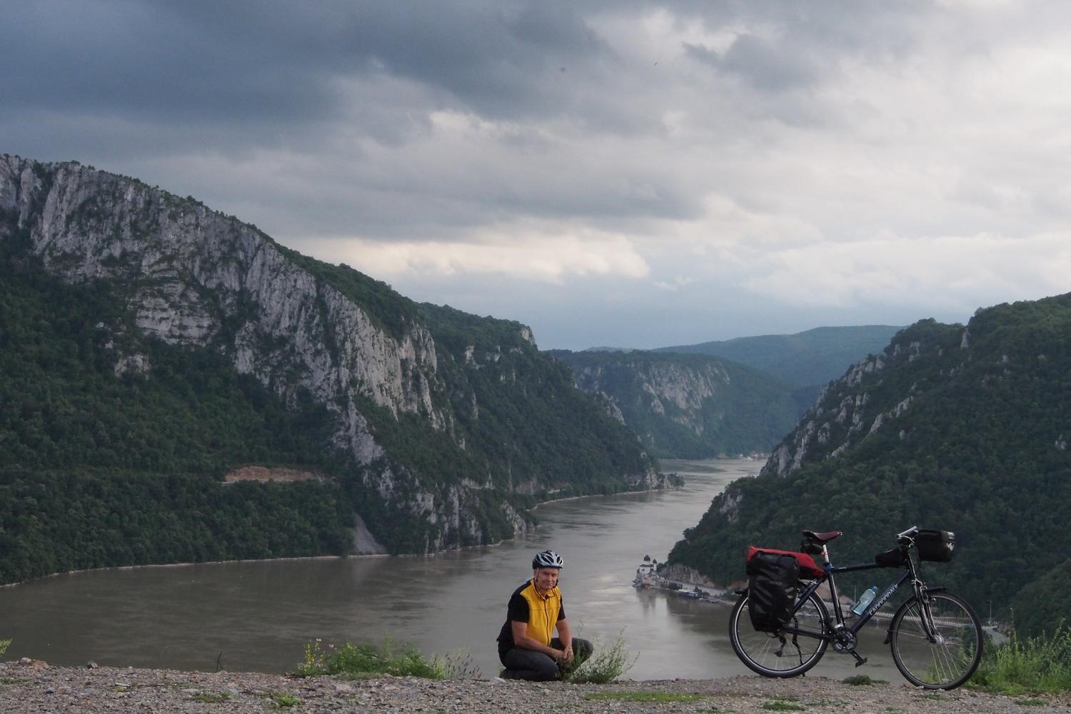
Ready for all opportunities: a German cyclist on the EuroVelo 6,
with folding bike and an inflatable canoe in the trailer

I did exactly that, and my first interviewee was Mr. Goran Zikić, a Hunting and Fishing expert of the Park. 

The first thing to know about the Park?

"The area of ​​the Park is 64,000 ha. It stretches along the Danube at 120 km in length, from the small town Golubac to the small town Kladovo.”


Mr. Goran Zikić…


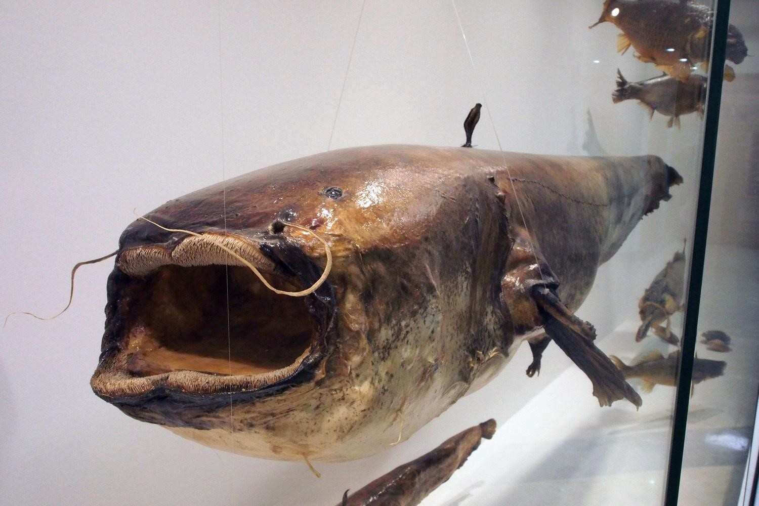
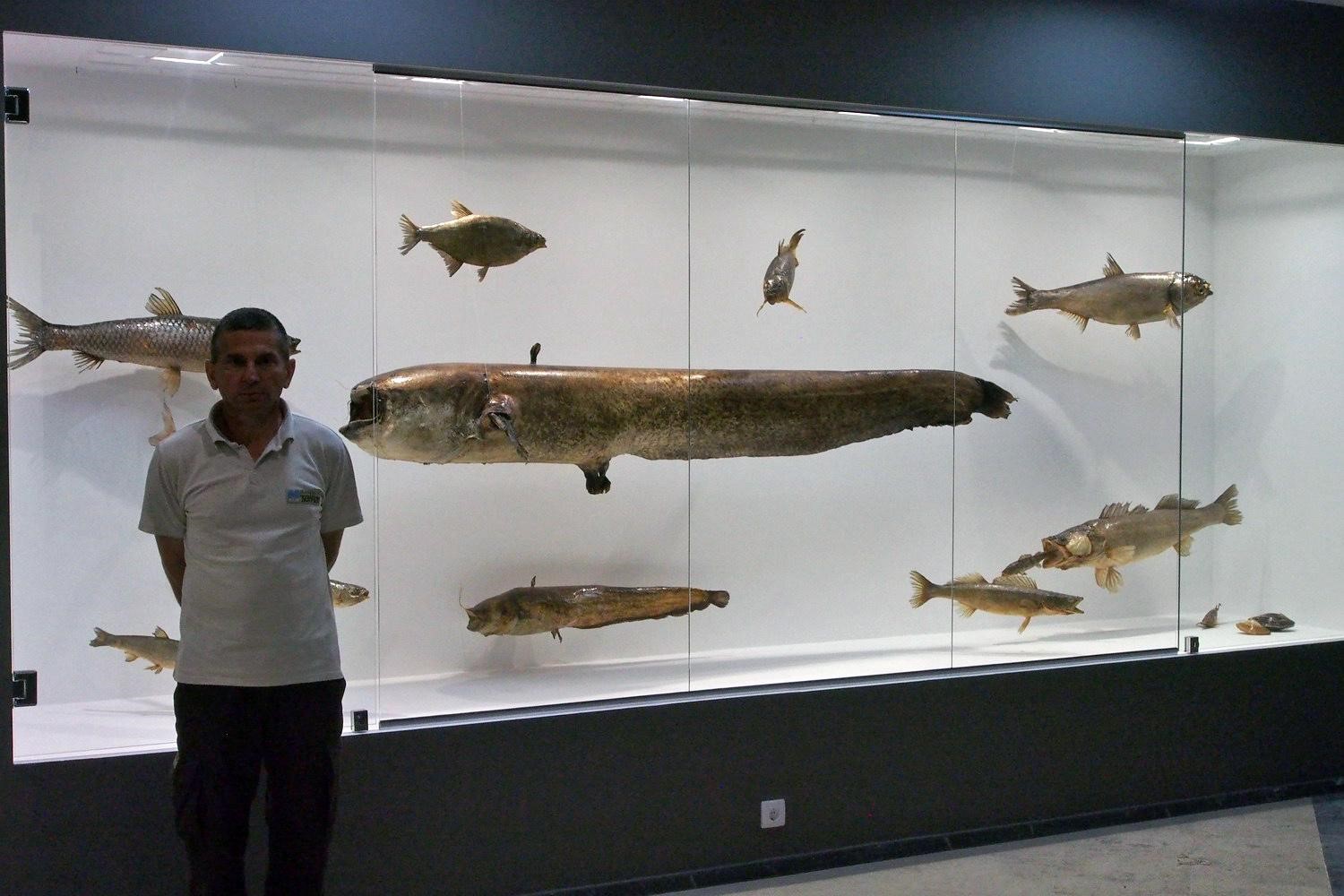
…and a moment when I truly realized
that catfish is actually just a sack with a hole at both ends

The essence of life

And there is the (in)famous Power Plant…

“The Hydroelectric Power Plant Djerdap I was constructed in the early 1970s and it raised the Danube at the location by 32 m. The lake extends to the mouth of the Nere but the slowdown of water is felt all the way to Slankamen in Vojvodina!

So the consequences were…?

The dam has cut the migratory paths of sturgeon species and changed the structure of the fish stock- The bottom of the river became muddy so some species disappeared (linjak/Tinca tinca, redfish), the number of barbels (Barbus barbus) decreased drastically, while the Golden-eyed pike (Esox lucius) was reduced to a negligible number. New, invasive species of fish have emerged - gray and white silver carp, amur, babuska, cverglan, gobies (Aphia minuta and Crystalogobius linearis), topmouth gudgeon.

Before WW II, no one took care of where these species spawn. In 2010, a sturgeon with a chip from Hungary was caught here.  The hydroelectric plant at the time of construction assumed the obligation to build a hatchery on the Serbian side. For this purpose, large ponds were built in front of the village of Kostol (a few km downstream of Kladovo), but they were never put into an actual operation.

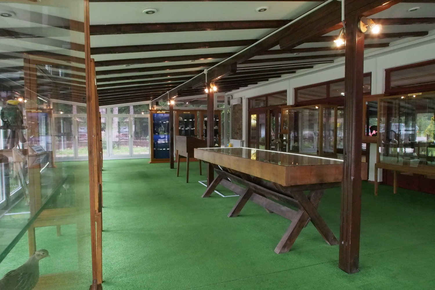
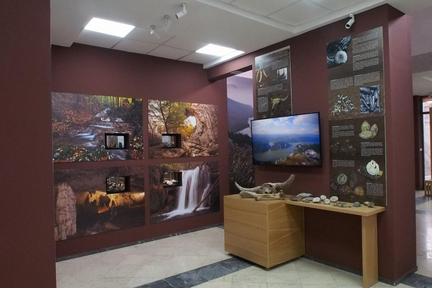
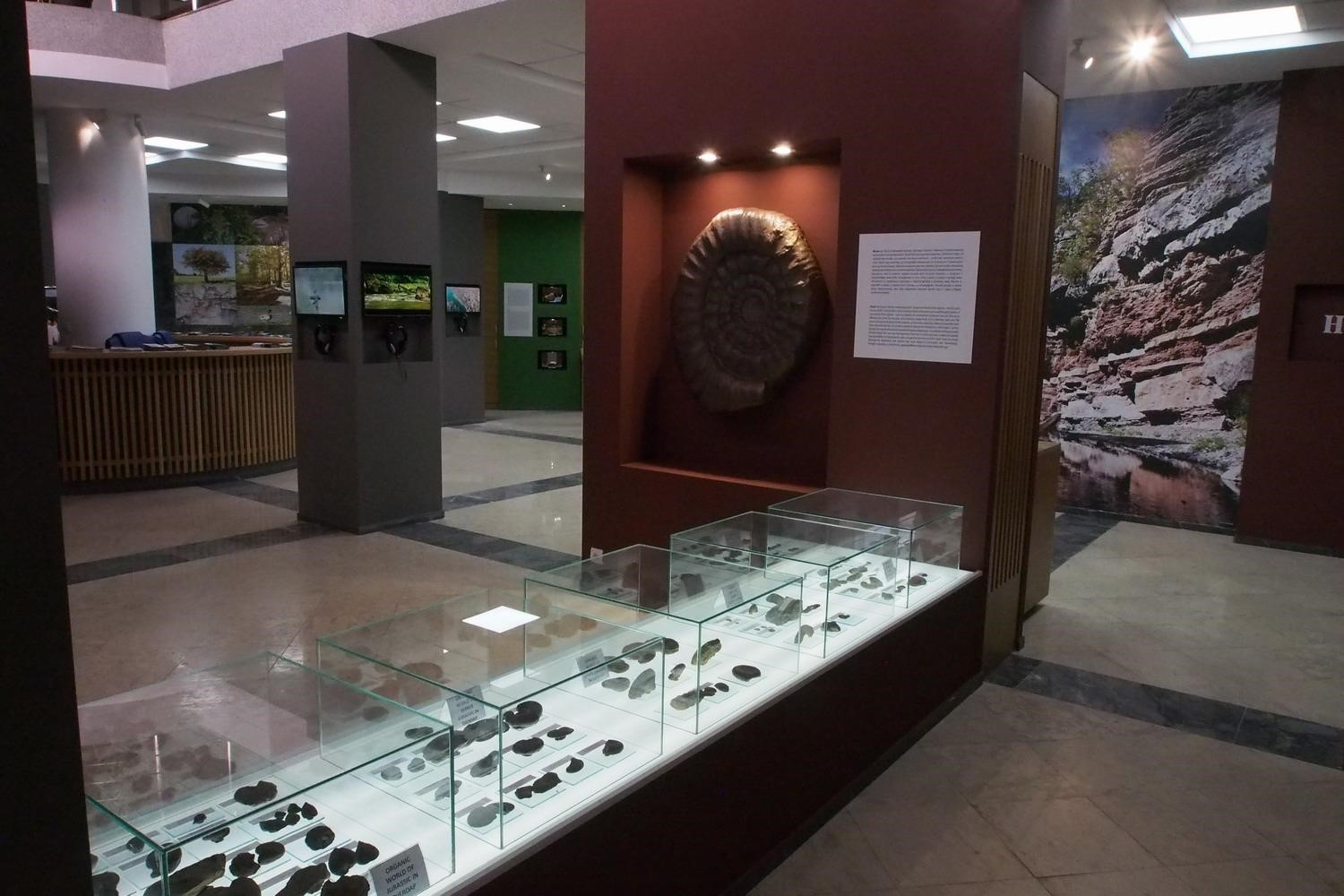
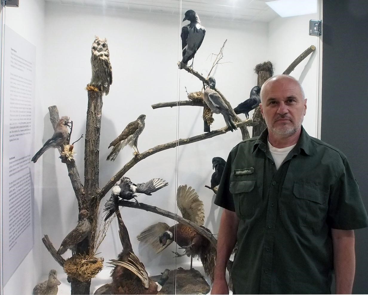
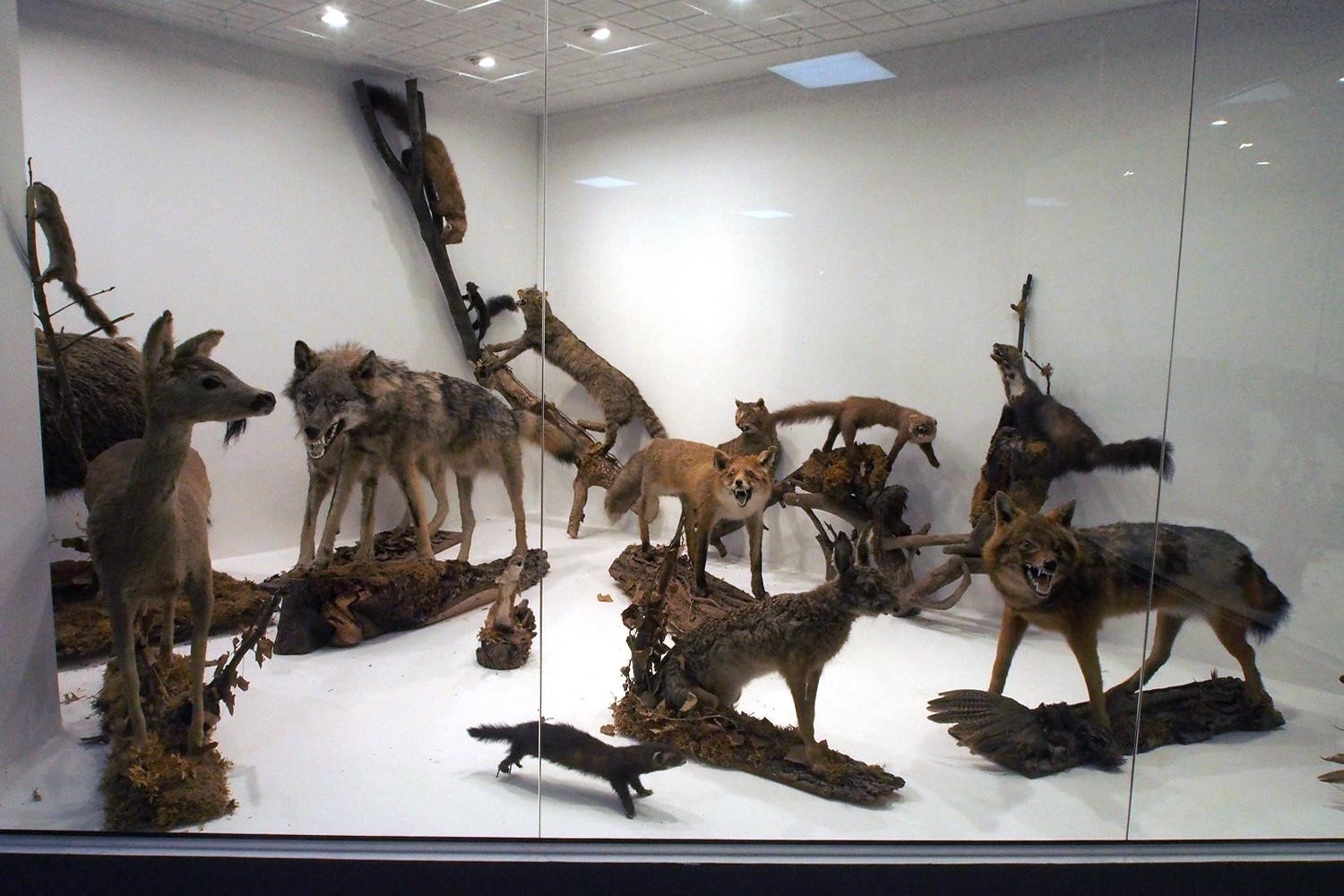
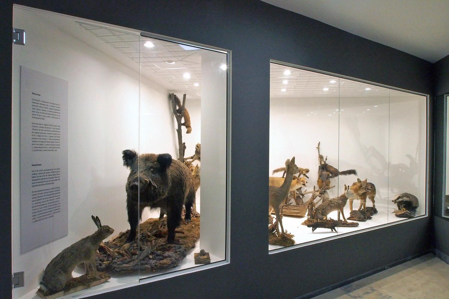
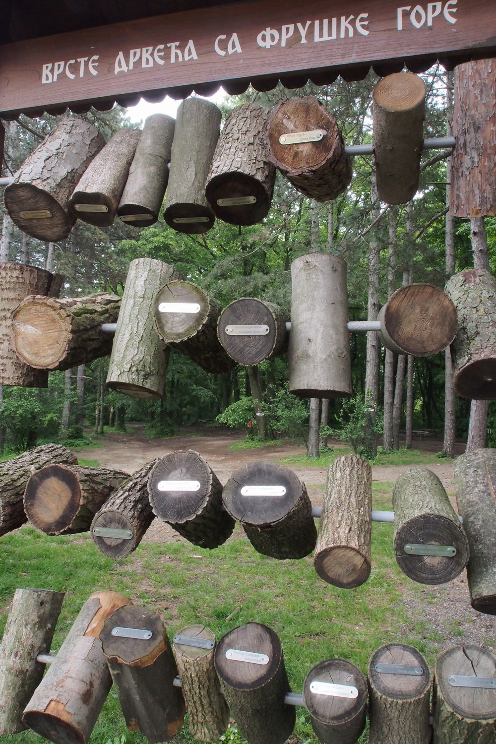
The brand new exhibition of the Djerdap National Park values

Fifteen years ago, a local initiative led to the opening of a commercial sturgeon farm. The fish were caught near the village of Radujevac, below HPP Djerdap 2, and transferred to the breeding farm with the idea of ​​producing caviar (in the times before the dam was built, the caviar caviar was of better quality than the Russian one). But 10 years ago a ban on hunting morons was passed, and this business failed.

The Serbian Ministry of Energy so far keeps denying any talks on the construction of a sturgeon elevator, even on condition that the money is provided from abroad. (In Serbia, one such lift already exists at a hydroelectric plant on Lake Bajina Basta, near the border with Bosnia.) "

I was very fortunate to find in the local tributaries of the Danube a subspecies of brown trout found in only a few more rivers of Eastern Serbia. The genetic determination determined it to be a special species. In 2012-2014, special researches were conducted, on the basis of which the doctoral dissertation was written. "

I must admit that after speaking with my next interlocutor - Mr. Dr. Nenad Radaković, Director of the Park – I was left in quite a shock: nowhere on the Danube have I been served such a package of depressing facts. And I thought I knew a lot about this area…
 

Mr. Nenad Radaković, Director of the Park

"Sludging is a significant problem in the river here. The Djerdap Gorge is the collector of the Europe. The sludge can be cleaned but the question is what to do with it then because it contains cyanide (which got into Danube after past leaks in some Romanian mines), arsenic (from another mine). After the NATO bombing, they were joined by radioactive waste from that was washed off from bombed surfaces, as well by (proven carcinogenic) pyrene released when transformer oil from big electric power stations of Novi Sad were hit and set in fire.  There are also fertilizers from the endless fields of Vojvodina, as well as various "ordinary" garbage. The largest deposits of slugde are near Golubac, where the Danube is the widest (6 km from Serbian to Romanian bank); here, tailings from the Romanian copper mine in the hill above the river pollute the entire riverside all the way to the small town of Veliko Gradiste, on the Serbian side.

And we are supposed to call this… "sludging"? Looks like quite a euphemistic name for what you said! But how does the... sludging affect the fish - and how does it affect the people who eat the fish ??

There are still professional fishermen (so-called “alas”) on the Danube in Serbia, and so is in Djerdap. They deliver fish to the table. In 2012-2013, in cooperation with the Institute from Serbian town Kraljevo, a survey was conducted on the amount of heavy metals on water, sludge and in skin and bones of fish. It was stated that the fish did not contain unacceptable quantities and did not contain mercury at all.

How is it possible that fish living and swimming above the deadly sludge is not dangerous to eat??

The explanation is that the dangerous layer of sludge has sunk deeper to the bottom - now it is at depths of 50 cm and more, and is insulated by new layers of sludge.

If that is true, another way to look at it is still that there was a period of several years (a decade…?) after the bombing when the poisonous sludge was in direct contact with water. And people still used to eat fish at that time?

In Donji Milanovac, where this National Park Directorate is also located, the treated water from the Danube has been used for drinking in the last 5-6 years. The advice is: don't drink it. 

The measured quantities of some elements are than 100 to 1000 times above than allowed ones. Before switching to this water source, the city was supplied with drinking water from the nearby Poreč River, coming from the hilly region above the city. But the river runs through the Bor mine area on the South where copper and gold are extracted and processed. The tailings of these processes are very toxic, so even at that time the water from town plumbing was not used for drinking: the citizens of Milanovac have long been accustomed to using it only for technical purposes.

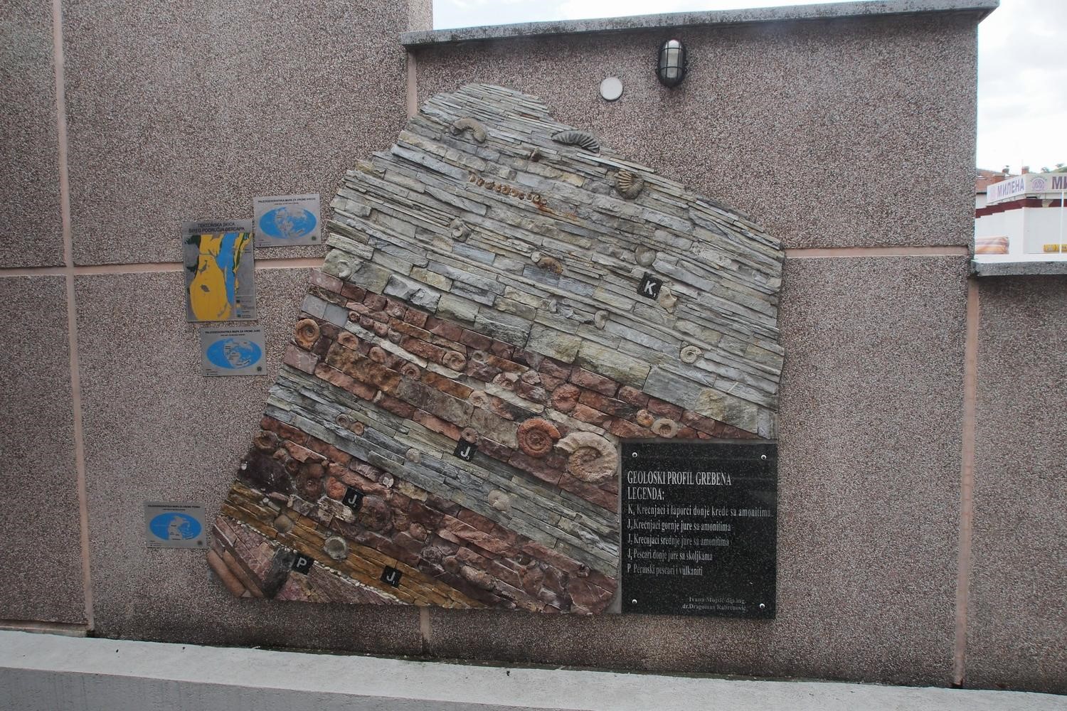
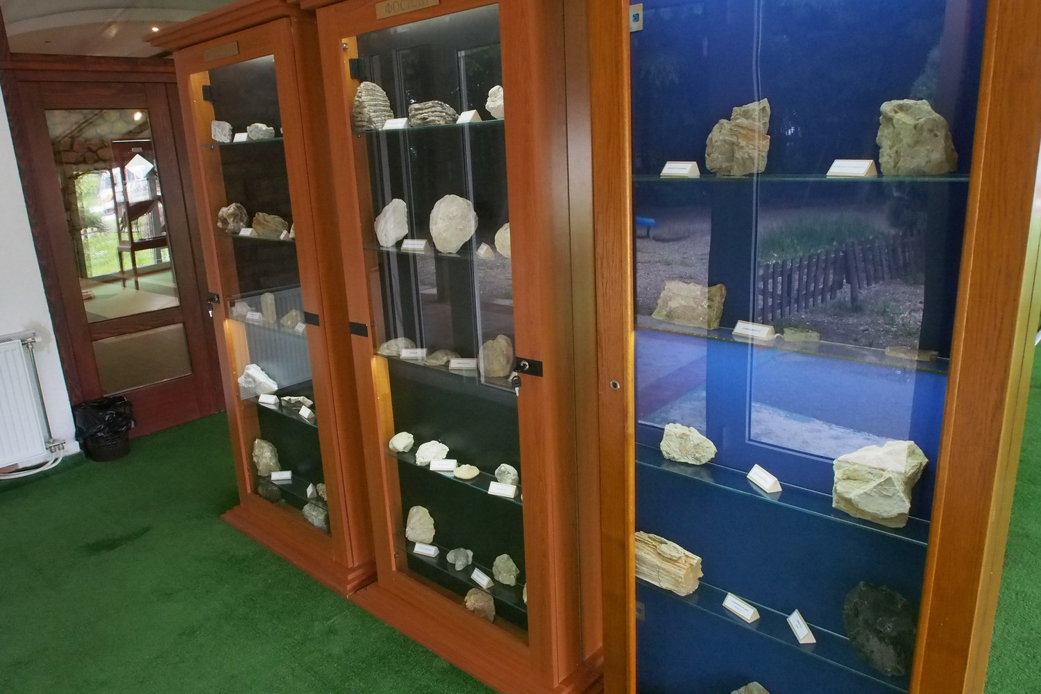
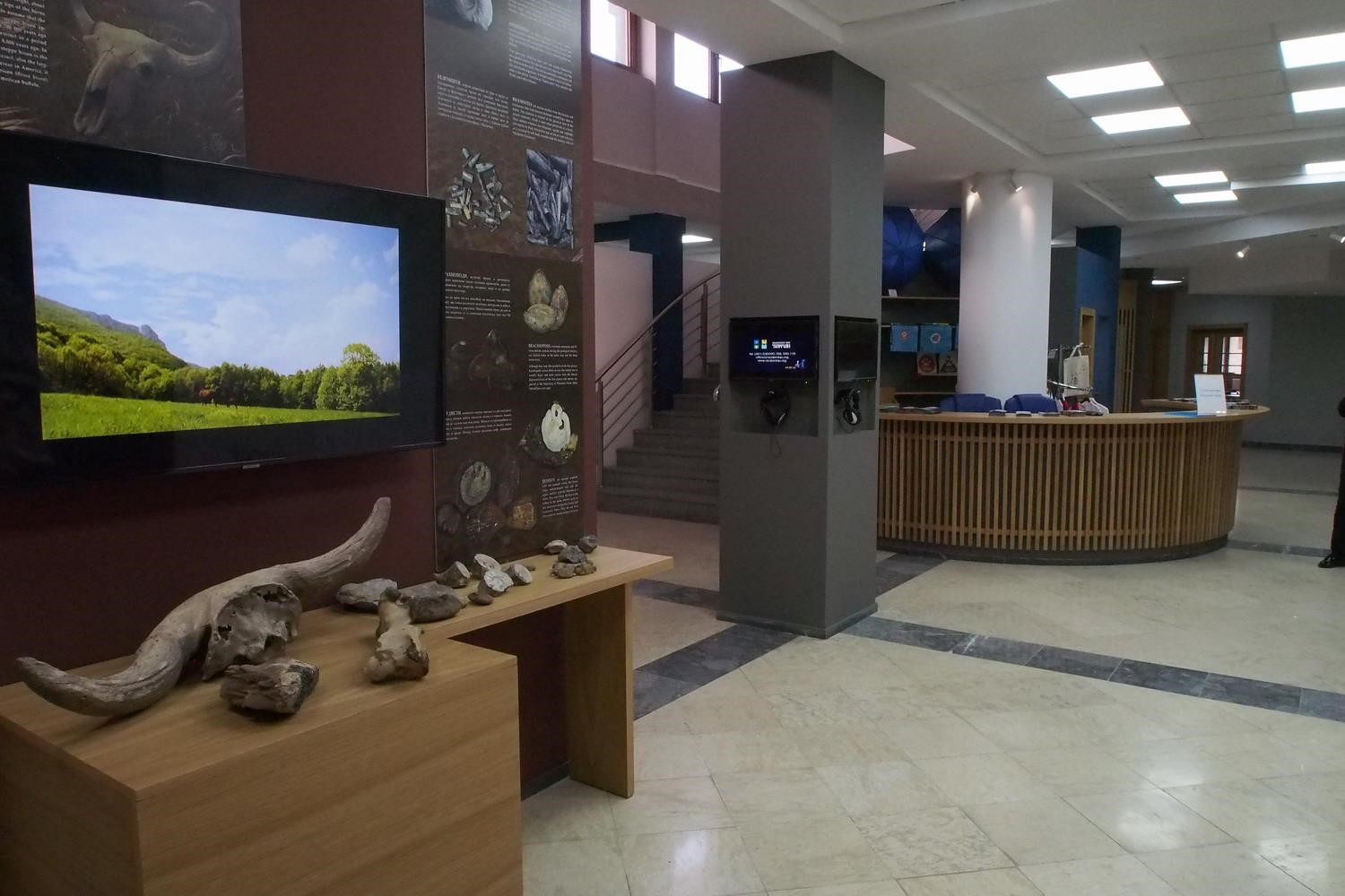
At the Exhibition entrance: all geological layers of the gorge in a glance

Well, are there other bad news here?

On the Romanian side, several years ago wind generators were installed at the entrance to the Djerdap Gorge, which disturb birds.

Our relations with the HE Power plant Djerdap I are not satisfactory. More specifically: we have no contact with them. They happen to suddenly and without any prior announcement open the dam gates and lower water level in the lake. Sometimes two meters, and during the night, and during full  spawning time of the fish. This off course causes serious damage and the consequences are felt even two years after such events. In 2004, we had a large fishing mortality for exactly this reason. We regularly reported such incidents to state inspectors, but to no avail: HE Power Plants Djerdap I and Djerdap II are extremely important for supplying the country with electricity and the energy lobby is very strong. So they can allow to themselves to not care about cooperation with anyone locally, including the National Park.”

I must note here a special curiosity: Donji Milanovac does not receive electricity from HEPP Djerdap I, but from a thermal power plant in remote Kostolac?

"They flooded everything, they destroyed a lot, and they don't even provide electricity to this region. They certainly have a large budget for nature conservation, but they do not have a professional staff, for that and hence there is no knowledge of how to use these funds in the right way. Collaborating with us would therefore be useful for them, but welll... As for the problems they cause, there is a rulebook for damages in fishing industry - but how do one determine damages when it comes to fish eggs?”

This was depressing – let’s go to “normal” problems

There is certain pretty constant problem, and that is ignorance - not only of visitors but also of locals - about the way Park works. It is a common opinion that the Park is financed by the State, but all national parks in Serbia are unfortunately public enterprises and have to earn money in order to survive and to be able to perform their basic job – the nature protection. We are engaged in commercial forestry in the zones with the 3rd degree of protection, and we are also involved in numerous international projects. But it would certainly be much better, and the final solution would be,  to reorganize the status of the national parks in Serbia. The paintings in the Louvre are a treasure of humanity. To see them, we need to buy a ticket. It should be the same with natural treasures, that is with national parks, instead of forcing then to abstain from forestry, hunting or fishing. If the State says "wolves should no longer be hunted", then the State should also compensate for the damage done by wolves.

Another problem over the last 30 years is that the State has not yet purchased all the land that is in the zones with the first (highest) degree of protection. The user of some of such surfaces is the Army, while on other localities the ownership is private. The Pecka Bar locality was in the first level of protection and was owned by the Army. "Solution": this locality site is longer belongs to the first level of protection.

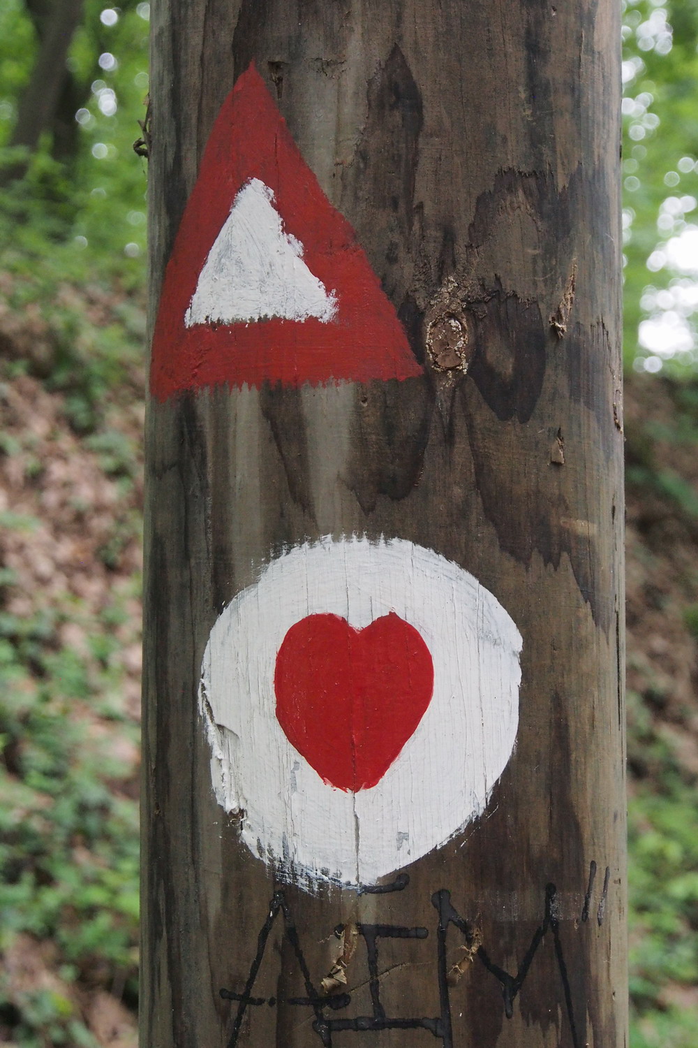
Before the dam was built navigation through the gorge was tricky and dangerous.
Devices like this one were showing to boats the right of way on very narrow parts.
Up: go. Down: stop and wait.


Could we now even advance to good things? 

“Let's start it lightly :) with something that is fifty-fifty half in that sense. The general population decline in Eastern Serbia, including the Danube coast in this part of the country, is intensive. However, this is good for to the nature conservation: the number of forest systems increases, meadows give way to forests.

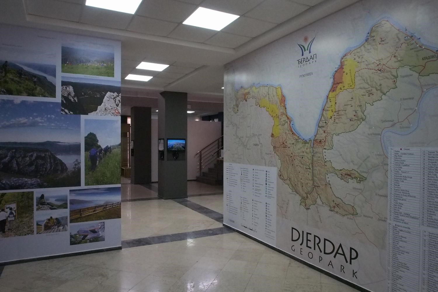
A great honor for the Park is the state's proposal to declare Djerdap NP as the first Geopark in the country. Geoparks near Serbia exist in Slovenia (Idrija), Croatia (Papuk), Hungary (Balaton) and Romania (Hateg), but there are none in Bulgaria, Macedonia and Albania.

We have a number of very interesting phytocoenoses (communities) here. Walnut, nettle tree ((Celtis australis, an autochthonous species) are outgrowths of a maritime Mediterranean climate, then sword hazel, oaks, ash and beech (Moesian), wild cherry and wild pear - all these plants are in Djerdap much larger than average. There is also yew here - it grows on vertical rocks, and we also have large-flowered anemone. There are 40-50 of autochthonous woody species. There are also natural arboretums where different types of trees grow side by side.

Bears sometimes flock to the Park - usually when the Danube freezes and they can cross over from Romania. Fishermen also reported on deer swimming across the Danube, apparently in search of quieter and safer zones.

And there are always legends and stories about surgeons. According to Brem, a sturgeon can grow up to 9 m and can weigh up to 1800 kg. Catfish is a decent replacement: one of the 2.1 m and 170 kg, was recently caught – and much bigger samples are part of fisherman history here. Jean Jacques Custo descended into the depths of the Danube in 1990 (up to 90 m below sea level!) and claimed to have seen huge catfish floating down there. But it should be emphasized that the ban on catfish fishing is currently in place.“

And thee is also the historic and cultural side

The prehistoric settlement of Lepenski Vir, one of the cradles of European civilization, was accidentally discovered during preparations for the construction of the HEPP Djerdap I dam. In 1601, Orbinius wrote the work "The Empire of the Slavs", stating that one of the founders of the Lepenski Vir could be Noah. The Lepenski vir dwellers were genetically very close to the present Slavic population.

There were several other confirmed archaeological sites i the gorge, but they were unfortunately submerged by lake water. Fossil rye and shark tooth fossil have also been found there.

It is amazing that nature has remained preserved until today, for such a long period of time and through the shifts of various civilizations. The main reason is probably the difficult accessibility of the terrain here. Unusual folk customs, food and costumes are also preserved.

How it looks like to work in a National Park that is established in such a complex area?

Working in the Park requires knowledge in many fields. In turn, these are hidden values ​​that constantly delight.

I've been working at the Park for 23 years and what I've learned a long time ago is that generations of people are responsible for today's level and status of the Park. In recent decades, there has been a marked increase in the number of tourists and many of them want to get acquainted with the values ​​of the Park. Tourist areas are formed on the basis of the Law on Tourism and are managed by two Limited Liability Companies: "Golubacki grad" and "Lepenski vir". Cooperation with these organizations is great, but they have 100,000 visitors a year and have no formal ties to the Park. We feel that we should be involved in this process too, but the Park has no representatives in the listed societies. No other NP or protected zone in Serbia has such a combination with commercial entities, but some lobbies were strong enough ten years ago to establish this system in cooperation with local municipalities and local self-administrations. 

Let’s finish with some achievements and plans/ wishes for the future

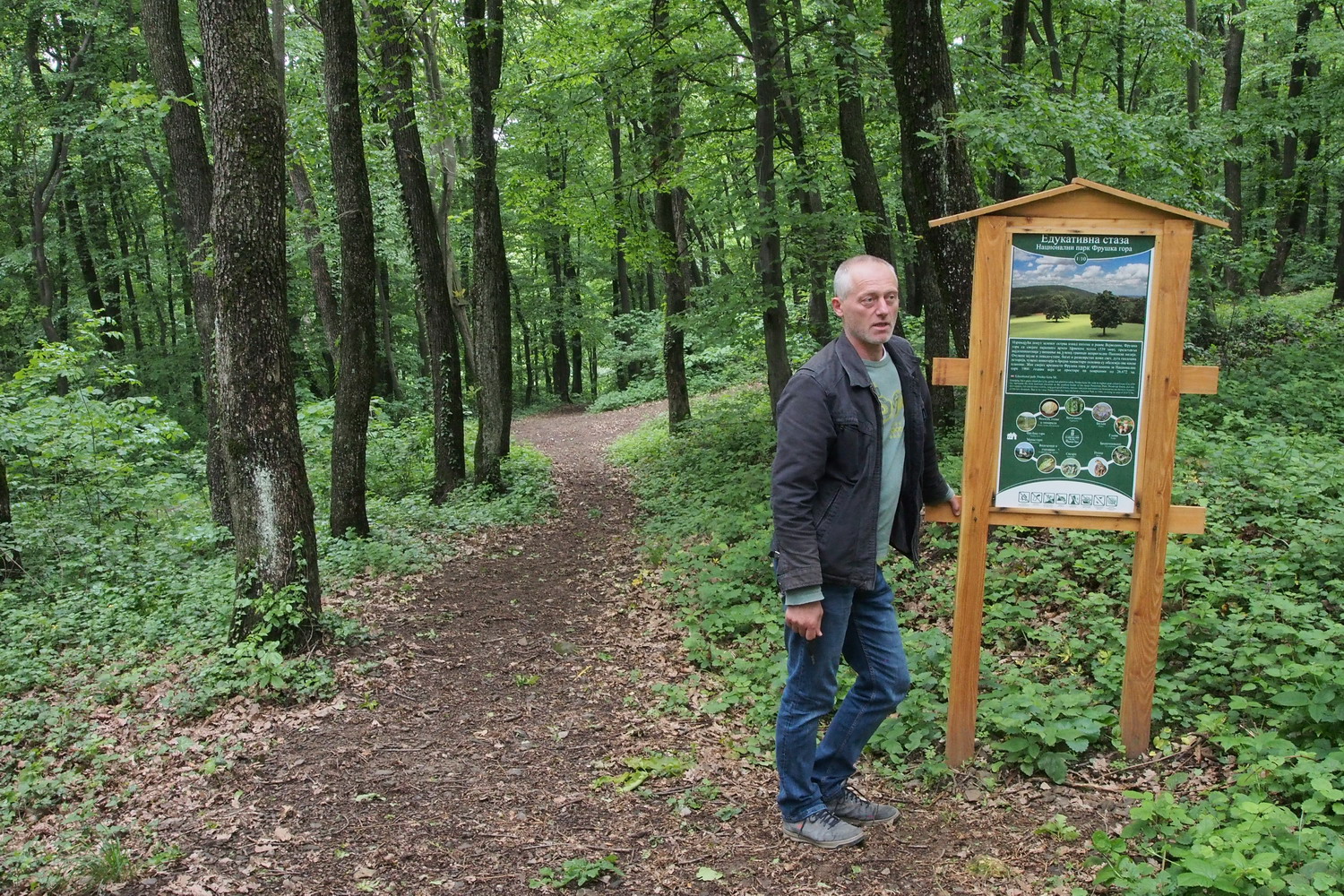
In 2018, we opened a Visitor Center in the village of Tekija, 16 km upstream of the HEPP Djerdap I. Much work is also being done to mark the area with signposts, especially for pedestrians. In many places we also have new info boards with information about the values ​​of the Park. We are planning a reintroduction of Djerdap

We plan reintroduction of the Djerdap tulip, as well as the reintroduction of the Griffon vulture (Gyps fulvus). There were about 56 of these birds here in the past, but they were killed during the times when wolves population was reduced by poisoning with strychnine.

There is a nice idea of ​​establishing a Transboundary Biosphere Park, which would be great both in practical and symbolic terms (the river that connects instead of separating). But at the moment we do not have enough human resources to do such a thing. In the near future, some modest (but yet valuable) achievements will be procurement of tourist minibuses and boats, as well as of drones for terrain monitoring.

Until 1990, Donji Milanovac had a meteorological station and in that sense was part of the world. A Hundred years ago there were similar stations in Tekija and some other places. So today it would be good to have such tools - if not complete stations then at least rain gauges. (By the way, according to the data from former stations, Donji Milanovac was the sunniest place in the former Yugoslavia along the Adriatic island of Hvar.)

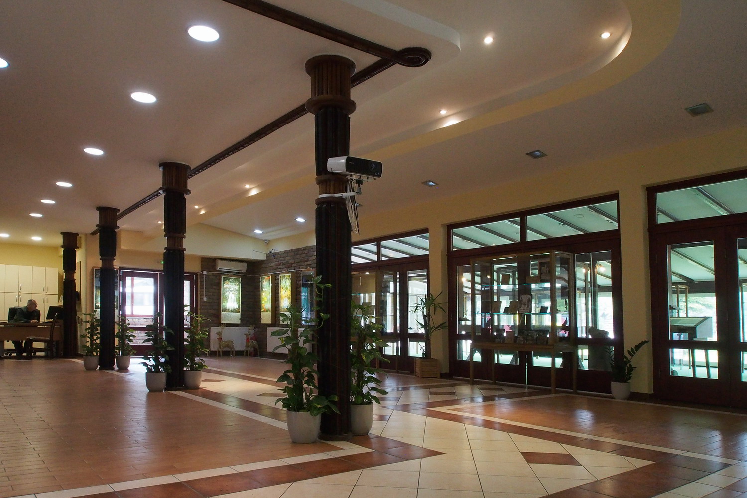
Success? For me it is, above all, the treasury preserved for future generations, and a boost of tourism at the same time. Of the current things, I would like to single out a new map of the Park as well as a new collection of promo and info- material. We also have a renovated exhibition which now looks really nice, and we don’t have to be ashamed of other parks.

Next I spoke with Mr. Zoran Milovanović, a biologist in the Park

The three monographs

“There were three important projects in 2010-2012, executed in collaboration with the Institute for Nature Conservation and the Ministry of the Environment. They resulted in three monographs. “

Mr. Zoran Milovanović

The first one lists all birds with particular emphasis on endangered species in the Djerdap area. There are 180 species listed there, out of 365 in total in Serbia. This publication was also used for Natura 2000 and it shows that the Djerdap is a very well-preserved habitat and hence for a reason declared as an Important Bird Area (IBA).

The Griffon Vulture (Gyps fulvus)  exists in Serbia today only in the canyons of Uvac and Tresnjica,  but it was present in a large numbers in Djerdap too, until 1948. Therefore, our desire to have him here again is understandable. Reintroduction is planned in cooperation with the Uvac Reserve. (Interestingly, the process starts by keeping the youngs in cages with a view of their future nesting site, until they are grown enough.)

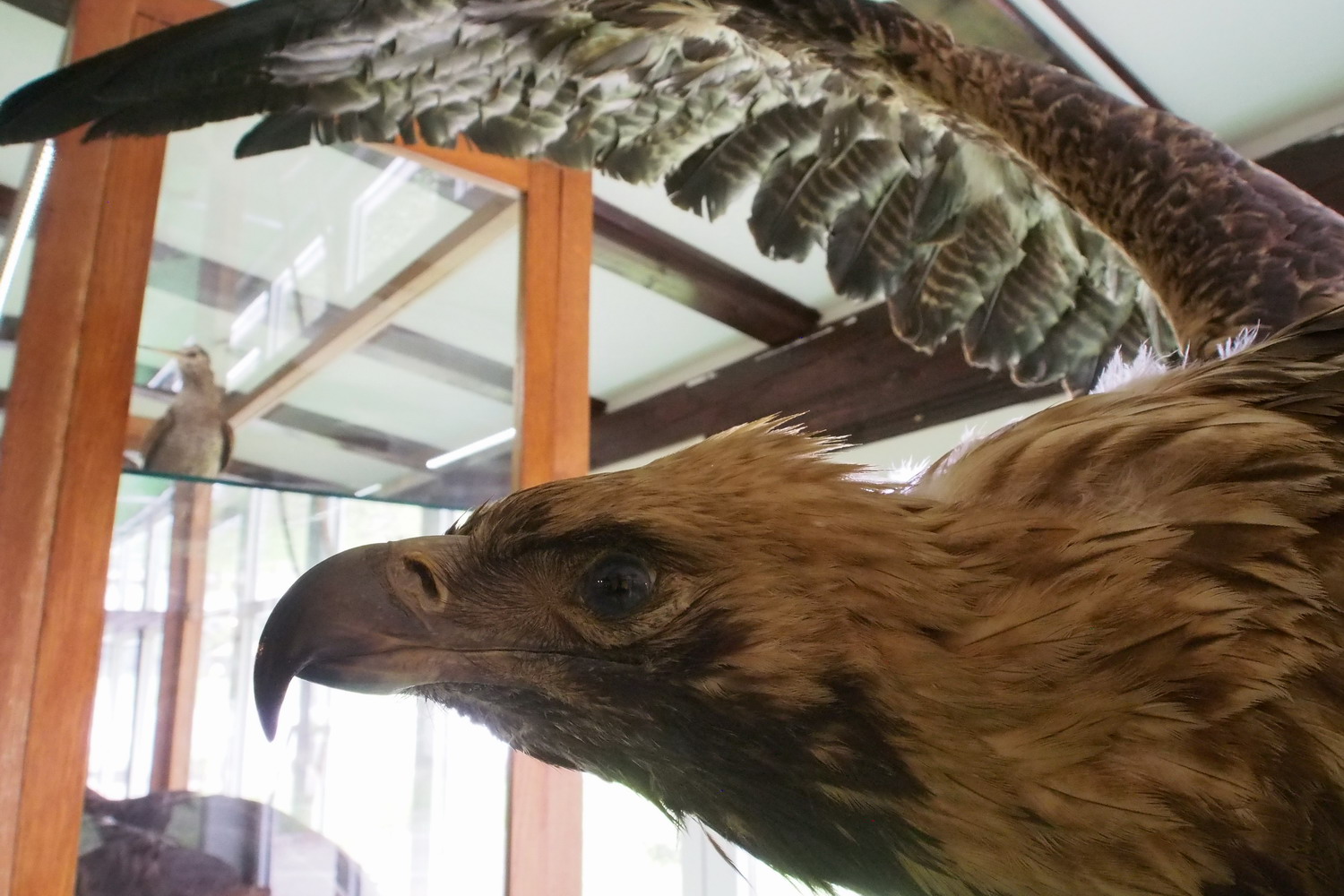
We have three pairs (or three nests) of the Golden eagle (Aquila chrysaetos) and there are are also dwarf eagles (Aquila pomarina), gray falcons (Falco peregrinus), the mountain woodpeckers, and prdavac quails.

The second monograph was about cave bats, of which there are 15 species here. 

“The third monograph was about speleological objects in the Park area. Designed in collaboration with the National Geographical Institute, it contains descriptions of 30 caves and pits.”


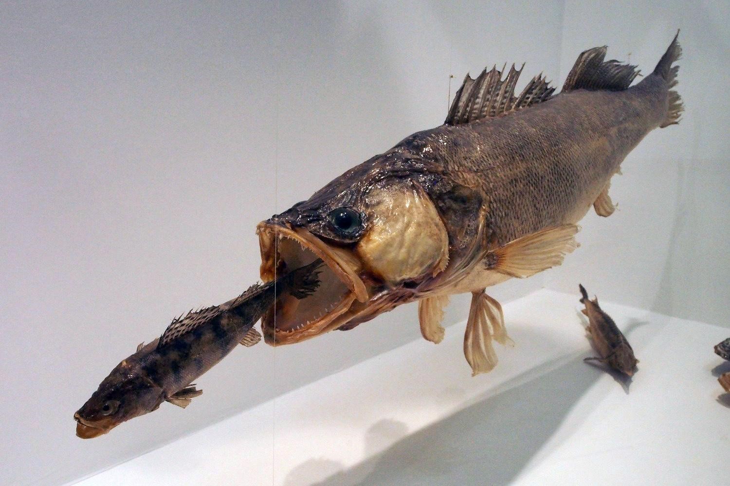
With a nugget in the belly - just digesting lunch.

I understood that you participated in the DANUBEparksCONNECTED project in the past?

“The Park took part in the first and second stage of the DANUBEparksCONNECTED project. In that frame I followed two bird species along the Danube banks in Serbia, from Ram to the mouth of the Timok (i.e.. Radujevac), in the total length of 240 km. The first one was the Little ringed plover (Charadrius dubius)  and the second was the Sand martin (Riparia riparia). These two species are in fact indicators of habitat conservation, and the results were positive. A nice achievement, and It is a pity that the Park is not involved in present stages of the project.”

Your point of view of the Djerdap I dam influence is different from what I heard about the impoundment in the upstream countries?

“To my opinion as a biologist, the dam and the lake of HEPP Djerdap had a positive impact on the flora in the gorge.  It was due to the increased humidity: a lake ecosystem and a wintering ground for birds were formed after the dam was built. But I won’t go into other aspects of the influence.”

There are some interesting particularities in the gorge?

„Definitely. For example. the normal distribution tree species with elevation is oak -> beech -> conifers. But here, on the shore at the locality "Hajdučka vodenica", we have the vegetation inversion - beech below oak.

The only naturally growing conifer in the Park is the yew that grows in Kazan, the narrowest part of the gorge, 100-150 m above the water. (We can nevertheless mention a planted pine tree forest in the village of Vinci.)

The Iron gates gorge climate allows the nettle tree (Celtis australis), which is a Mediterranean plant, to grow here as a relic from the Ice Age, during which the climate here was milder. Even today, all the way until the end of the gorge close to the HEPP Djerdap I dam/border crossing, we have the feeling that we are somewhere in the Mediterranean or in Macedonia, and then there is a sudden change...

One sad thing to mention: although the traffic on the gorge road is not that intense, large numbers of animals (especially of large and small mammals) are affected by it because it intersects their morning and evening lines of movement (towards water and from water). Sometimes when I drive to the office early in the morning it looks to me like a hart breaking slaughterhouse: roe deer, foxes, hedgehogs, badgers... The only solution would be to limit the speed to 40 km/h, which is difficult because this is the main road to Donji Milanovac and Kladovo towns.

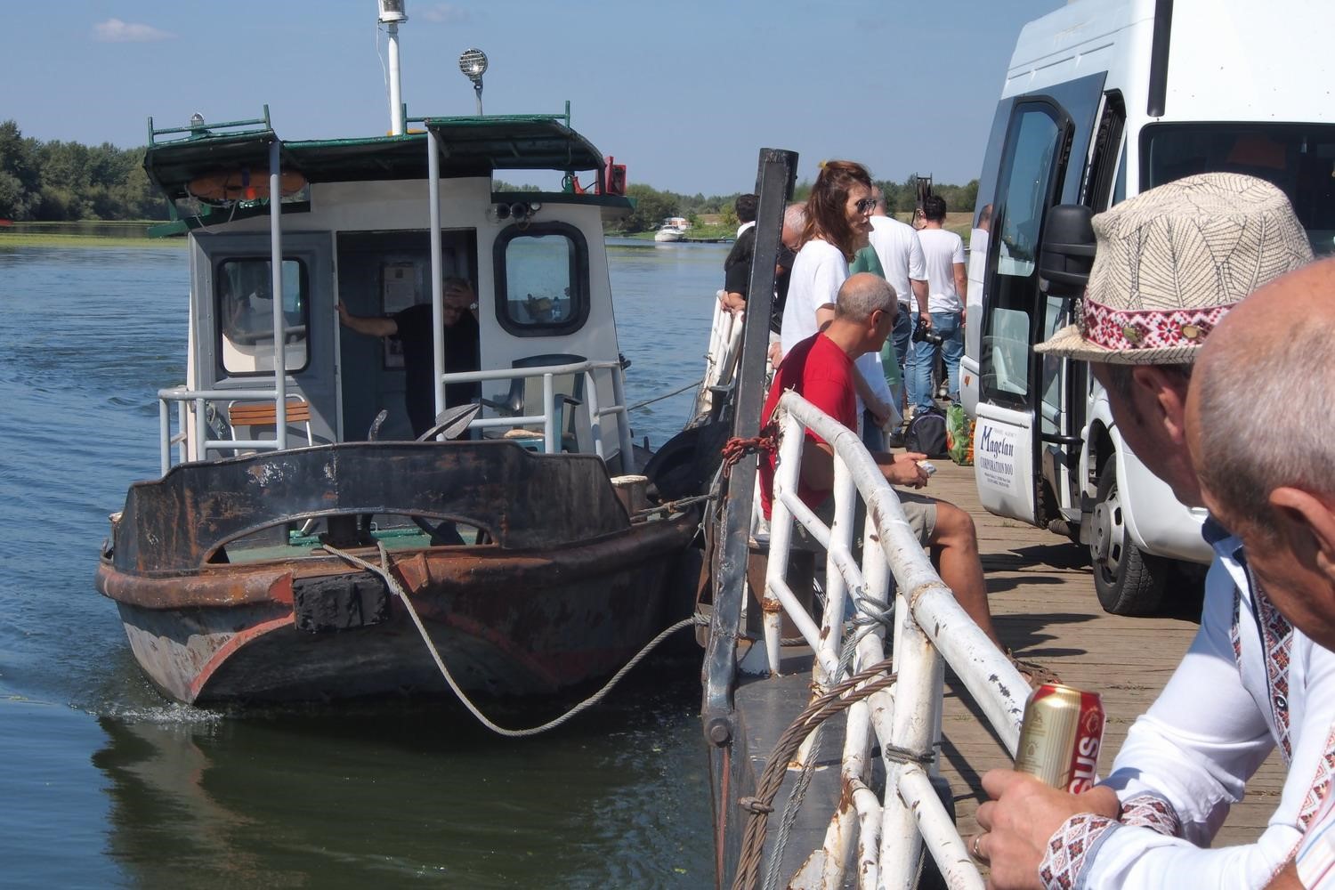
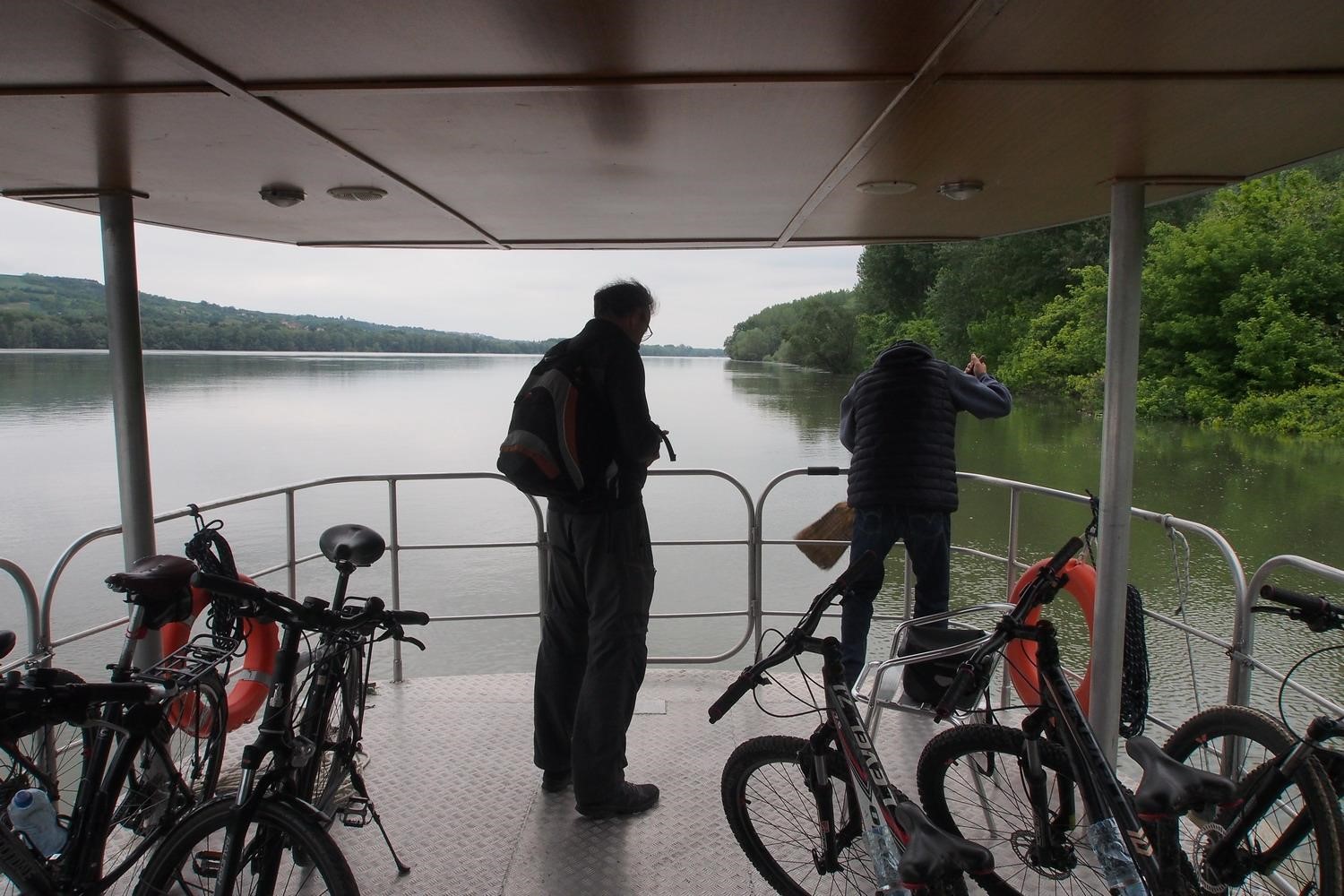
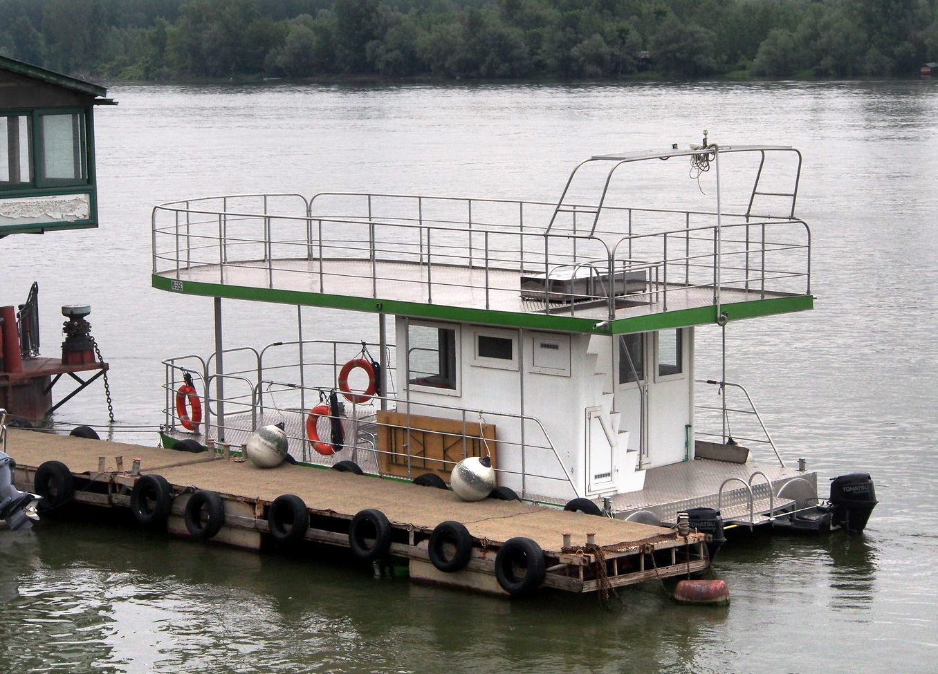
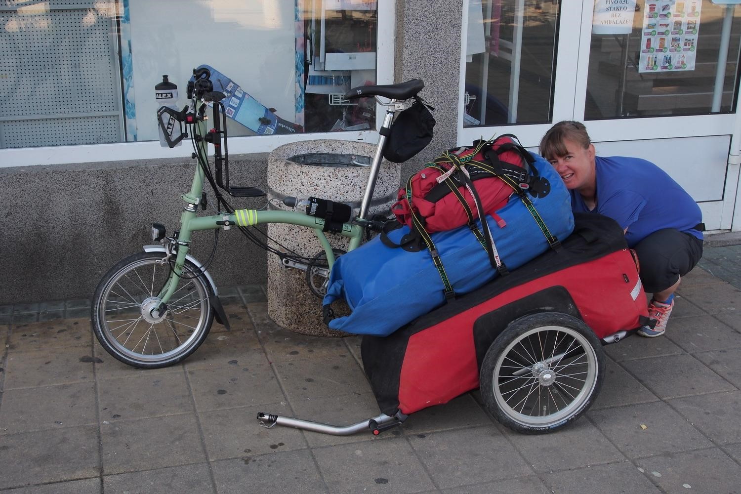
On the ferry to the Iron Gates
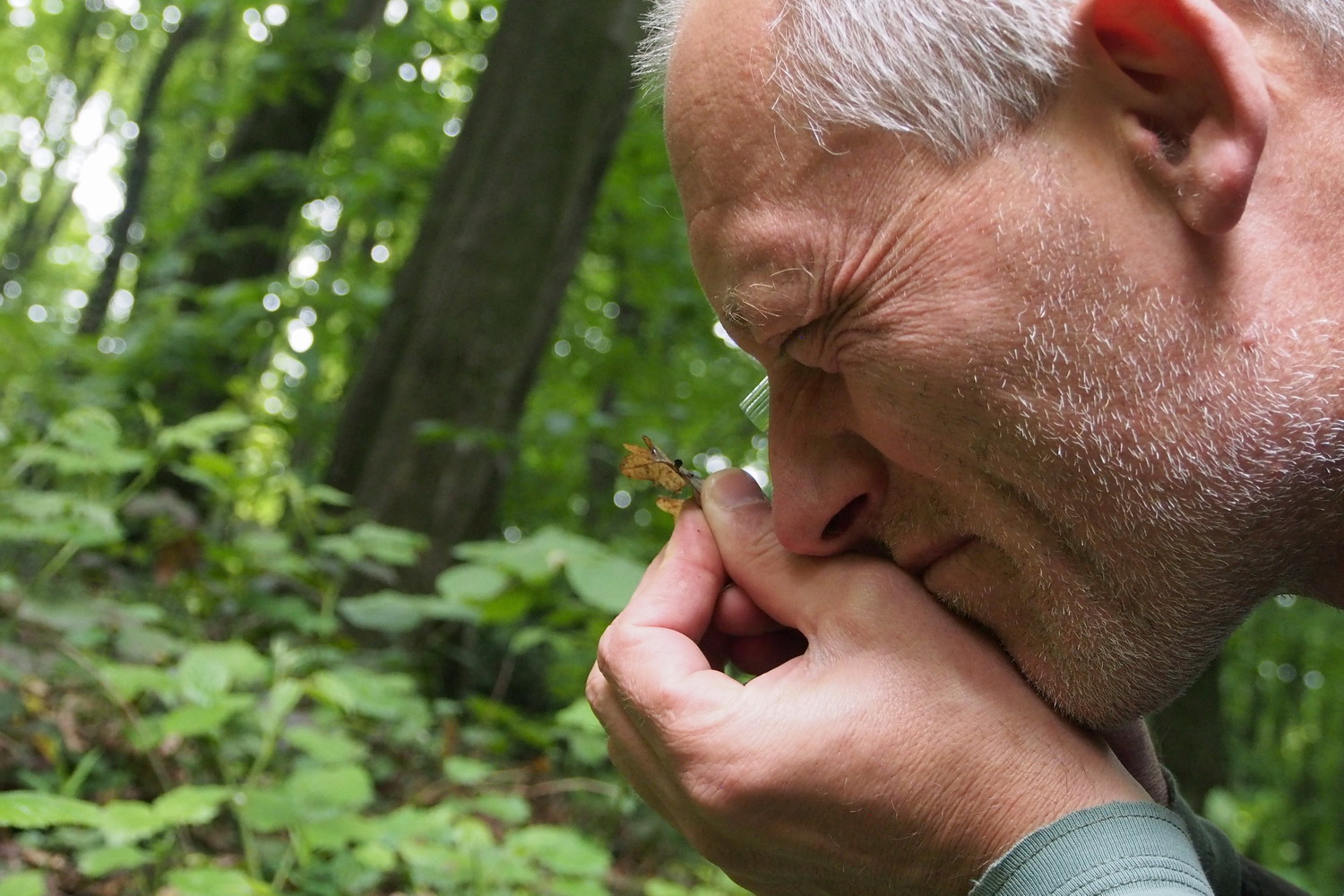
Programme co-funded by European Union funds (ERDF, IPA, ENI)