DANUBEparksCONNECTED Bridging the Danube Protected Areas towards a Danube Habitat Corridor

Cycling the Danube in Hungary


Cycling the Danube in Hungary


Fertő-Hanság Nemzeti Park – Szigetköz Protected Landscape Area


Photos and Text: Jovan Eraković

Riding along a pleasant paved road on the dyke that took me right from the heart of Bratislava (and, how convenient, through the Protected Landscape Area Dunajské luhy, i.e floodplains) I passed by village Čunovo (Dunacsún) and came very close to the Hungarian border. There was a crossroad where a traveller along the EuroVelo 6 can decide whether to turn north, crossing the Čunovo dam to water sports centre Divoka Voda and continuing to hydroelectric power plant Gabcikovo on the Slovakian side - or to turn south, leaving the dyke, entering Hungary, then continuing towards still distant Budapest via Győr.

And that’s where I met my new hosts and cycling friends from Hungary. Mr. Attila Fersch, project manager from Fertő-Hanság National Park (FHNP) head office organized the ride but also invited the local guru Mr. Zoltán Fűzfa, president of “Pisztráng Kör Egyesület” (Trout Circle Association) to guide us on two wheels.

To make things more interesting, Zoltán didn’t choose either of the above mentioned possibilities – he instead took us straight ahead, along the dyke which wasn’t paved anymore. And that’s how we entered Hungary: on a dusty gravel road.

The Szigetköz is an island with a lively landscape, 53 km long with an average width of 6-8km.  By its total area of 375 km2, it is the largest in Hungary. This “Child of the Danube" lies between the Mosoni-Danube channel and the old-Danube, in the Golden triangle 80 km from Vienna, 30 km from Bratislava and 140 km from Budapest. The whole area is 50 km long in a straight line, but the total length of its side arms – from narrow streams to wide ones - is almost 800 km. With the Slovakian island Zitny Ostrov and tens of other smaller islands and sidearms, it forms the biggest inner delta of the Danube.

In the times of the Austro-Hungarian Empire, its powerful navigational lobby had an ambition to constantly expand its activities and to develop the infrastructure for navigation. That is why a new channel for ship traffic was made in 1886-1896 from Komarom to Vienna and its sides were stabilized by stones. Before that Szigetköz was just a maze of small arms and branches - a kingdom of thousand islands.

In the past, ripples of the human migration touched only the outer rim of this wonderful world – its swamps have protected the islands' wildlife from more interference. In modern times it was exposed to consequences of too ambitious human plans and actions (more about that later) but is still alive.

But it is not only the idyllic biosphere gem that has to be preserved here: the Szigetköz aquifer – a thick gravel layer that lies several hundred meters below the river bed between Bratislava and Győr – contains 14 cubic kilometers of clear water. That is the largest drinking water supply in central Europe, with the daily output measured in millions of cubic meters both for Hungary and for Slovakia.

The Szigetköz Protected Landscape Area is one of three PA that is managed by Fertő-Hanság National Park. It was established in 1987 and has an area of 10.000 ha. The PA preserves softwood and some hardwood river forests, as well as pastures of very good quality – both for grazing and as a source of hay.

Besides usual bird species such as storks, herons, black kites, little egrets and others, people from the NP are especially proud of the white-tailed eagles who returned here after 40 years of absence. The explanation of that happy event at the same time shows how close and how connected the European habitat is: Scandinavia developed very good protection programs for eagles and there poisoning has ceased, which led to a sharp increase of the eagle's population. Leaving and hunting space became too tight so some of them started to migrate to other regions, and 4 pairs ended here.

On the Mosoni-Duna sidearm, we came to the “Trianon” lock/sluice - an important element for controlling the water level in the arm. In 1902 the nearby town Mosonmagyaróvár suffered a catastrophic flood and that started demands for more control of the sidearm. In 1905, the Mosoni-Duna was stabilized and the sluice had the role to prevent high waters from going to the city. It was believed that the Mosoni-Danube was still important as a waterway so the sluice actually was planned to be a shipping lock and built as a bridge that could be rotated to ensure passage of vessels. However, it never worked as a ship lock and the bottom part of it was never built.

The Trianon lock

This zone is actually strategically very important as it is a key to regulation of water levels all the way to Győr – this is why Hungary fought to keep the lock on its territory in hard times, after WW I and WW II. (It was even part of the Paris peace treaty.)

Deep in the forest, we came to the edge of a small artificial lake created by digging pebbles.

20 years ago: there was a lot of garbage around here but then the local water management company cleaned it and transformed the area into a recreational zone. In a true example of how much a right approach by authorities can change things, local people abandoned bad habits and instead of littering, accepted the area as an important, highly valuable part of their environment.

5 years ago: this was not a wetland. Then again the local water management company devised a very good project through which they connected old gravel pits by a channel and thus brought water in the area.

Right now: yes, beavers are just fine and active here :)

Water sports: neighbours playing hydro-electric power games

Gabcikovo-Nagymaros barrage system was one of four major engineering projects after World War II that was to change the course of the Danube. (Other three being the Iron Gate dam(s), the Rhine-Main-Danube Waterway and the Danube-Black Sea Canal).

In 1976 the governments of Czechoslovakia and Hungary agreed to construct the Gabcikovo-Nagymoros Barrage System to correct bad work of the mother nature – a popular ambition among ruling circles of many communist countries at that time. 

The system would consist of a reservoir, two diversion canals, and two hydro-electric power plants: Gabcikovo in present-day Slovakia and Nagymaros in Hungary. The whole system would stretch from Bratislava to Nagymaros, on an enormous length of 200 km. The Danube would be diverted into a new, artificial channel (lined with plastic, to prevent seepage!) by a barrage at Hungarian village Dunakiliti. The channel than would be used to produce electric power plus as the main route for water navigation, plus to provide water supply in the wide region, plus (working together with other elements of the system) to prevent catastrophic floods.

Gabcikovo power plant was designed to produce 720 megawatts of electric energy and to operate in periodic water surge. After passing the dam each of such surges would go downstream as a flood wave, and then would be absorbed by a 160-megawatt strong power plant at Nagymaros.

Political regimes changed in 1989 in both countries and environmental consciousness increased in both countries - but in Hungary, it had strong political connotations. In 1980 Hungarian scientists and engineers openly criticized the project, but local environmentalism was also closely linked to the constantly increasing bigotry towards symbols of the old regime. Gabcikovo-Nagymaros project was seen as a typical arrogant communist project and rapidly attracted strong political and public opposition. (The first grass-roots environmental organization of Eastern Europe, “Committee for the Danube”, was actually born during that campaign.)

In 1989 the Hungarian government eventually one-sidedly decided to abandon the works at Nagymaros and to maintain the status quo at Dunakiliti, stating that the environmental effects of the project must be further examined.

(The success of Austrian environmentalists who - as were mentioned in our Donau-Auen story - stopped plans to build a hydro-electric power plant in a nature reserve at Hainburg, added a new twist to the events: the “ecologically-shaken” Austrian government offered bank loans in 1986 and managed to cast a deal that would bring to Austria one-third of the expected total power produced by Gabcikovo-Nagymaros system. When things got complicated, the compensation that Hungary was supposed to pay to Austria for breaking that financial deal was an extra addition to other bitter pills to swallow.)

In 1985 this area was completely cleaned by mechanization.
After the original Gabcikovo-Nagymaros project was abandoned, it recovered by itself.

But the worst surprise was yet to come: during 1991-1992 in an unexpected move Czechoslovakia (i.e. Slovakia) diverted most of the Danube to their territory after blocking its riverbed in Čunovo by a “temporal” first-stage dam. A second-stage dam was built at Gabcikovo. In the sensitive time when Czechoslovakia was splitting into the Czech Republic and Slovakia, the project became an important symbol of Slovakian national identity, facing not only Hungarians but Czechs too.

The diverting drastically reduced the amount of water on the Hungarian side, badly damaging water supply and environment there. Before the diversion, the average flow in the old Danube was 2000 m3/sec and after that, it was 400 m3/sec, according to Slovakian sources, or 300 m3/sec according to Hungarian sources. (The level of water in the old river channel is almost 2 m below the lowest value recorded before the diversion.)

So:

instead of a common Slovakian-Hungarian system, all elements of the reduced system and most of the Danube water went on the Slovakian side;
Nagymaros plant was never built. And this has led to a huge problem (to add to other huge problems)  because of an additional function of that plant: it was supposed to raise the water level on 110 km upstream distance, allowing ships to navigate on that section. Without it, low levels of water on that stretch are the main navigation obstacle on the 2400 km long Danube corridor;
Without the Nagymaros dam, the Gabcíkovo power plant operates in „normal running river“ mode, instead of projected periodic water surges mode and thus is unable to reach optimal energetic and economic efficiency – it provides only 8% of Slovakian energy needs.

If all this happened between two other countries that I know (and I live in one of them) we would probably settle the things in an old traditional way. But in 1992 Hungary and Slovakia wisely decided to take their dispute to the International Court of Justice in Hague. Two Central European states for the first time on court – it was closely followed as it was supposed to be a showcase of European way to settle disputes. In an ambitious try to understand and summarise what was otherwise brought in 22 volumes, 9000 pages and 24 kilograms of paper it would be, um, this: Slovakia basically wants Hungary to build the Nagymaros dam. Hungary requests Slovakia to do regulation works on the problematic stretch upstream from Nagymaros and obviously to return the Danube water.

Couple more examples that show how complicated the legal things could be:

  • Did the Čunovo-Gabcikovo solution, as a crippled variant of the originally planned common system, change the national boundaries of Slovakia and Hungary? (This was one of the most difficult matters of the case. Three treaties from the past and international law consider the boundary as the main navigable channel of the Danube at the lowest navigable level. The main navigable channel now runs through the water reservoir at Čunovo and the inland canal, both of which lie in Slovak territory. The Slovakian view is that these treaties were violated by Hungary, who unilaterally withdraw from the project.)
  • The Danube is the only major waterway linking Hungary with Northern Europe. When it is diverted onto Slovak territory, a significant part of Hungarian trade can be tariffed. (That can be resolved only by transporting goods via Austria, but at an increased cost and takes more time.)

As with any clever court involved in such sensitive dispute, this one didn’t definitely resolve the case until 2017, when both sides started to seem pretty tired of it. Which opened a chance to close the unpleasant story in a decent way: with anyone equally unsatisfied. 

All that was the legal aspect. But the environmental impact of diverting the river and building two dams was immense, that’s why the International Rivers Network ranked the project among the top 10 most environmentally destructive hydraulic engineering projects in the world.

  • Loss of thousands of hectares of flood plain forest, agricultural lands, and Danube countryside.
  • After the closing of the old river bed, water in some branches of the Danube fell by 2m while some other branches dried completely and the groundwater level fell 4m below the soil. The unique wetlands of this Central Danube region were dependent on steady water flow in its many channels – drainage of flooding areas and wetlands badly influenced plant and organic species. It threatens to dry up the last inland delta of Europe, comprising of two large islands Szigetkoz and Zitny Ostrov and a very dense branch system in the supporting flood plain area.
  • The absence of the Nagymaros barrage caused intensive degradation of the Danube river bed downstream, with increased sediment supply and reduced flood capacity.

One aspect that seems to be improved according to joint Slovak-Hungarian studies is the stabilization of groundwater levels and local improvement of groundwater quality. (Impoundment of the Danube allegedly improved groundwater quality on the right side of the Danube, at Rusovce and Čunovo water supply.)

Approaching „frozen kingdom“ of the Dunakiliti barrage. It was planned
to be one of the most important elements of the project but instead became
a symbol of its failure and the controversy brought an international “fame” to it.

The water reservoir and sluice system have remained unfinished, but the site
presents an interesting view to visitors.

And it seems that the destiny of this location was always to be an important spot on the river,
as even its name suggests: Turkish word “kiliti” means “key” (of the Danube).

Attila Fersch says that the FHNP was involved in four work packages of the DANUBEparksCONNECTED project and explains results:

The WILDislands initiative: detailed revitalization plans prepared for several islands and will be used in the future works there.
The Danube forest corridor: collected info about natural and artificial forests for the Danube-wide mapping.
The Danube dry habitat: monitored species and numbers of orchids in the PA.
DANUBE FREE SKY: cooperated in the process and organised an exchange with the energy sector.

For him, one of the best long-term results of a National Park presence here is something quite specific and not visible to an average visitor: the development of successful cooperation with local people:

“It is not possible to achieve good results if locals are not satisfied and motivated. The Protected Area ideally should serve not only nature but also local stakeholders, it is necessary to work at the same time with locals and with nature.”

And while we approach the Visitor centre of the PA in Dunasziget, built and run by the “Trout Circle Association”, he gives our guide Zoltán Fűzfa and his touristic business as an example.

“The centre is eleven years old”, joins the conversation Zoltán Fűzfa, “But it is still not 100% finished. The reason is that we prefer recycled materials for building but also want quality and functionality. The roof is, for example, made from 18,000 tiles collected from 18 old houses.”

The Visitors Centre near Dunasziget

The centre has a very nice exhibition of wildlife in the Protected area as well as an educational space, but what made the strongest impression on me was the space at the photo below, that looked like a beach volleyball court (actually several of them tied together).

This is an area that the Centre rents to water research organizations and it is used to make very precise and detailed models of particular Danube zones in Hungary. Such models are then used to investigate in real time possible results of interventions planned in different projects.

There was no formed model when we visited, but you can see one on the photos above.
(Taken from the brochure “Mutual facilitation of revitalization of inundation area and river branch system of the Danube in the Szigetköz – Csallóköz region – Short summary of the project results”.)  The two marked human figures on the top illustrate the scale of the model.

And Zoltán is the right person to tell more about the Trout Circle Association (TCA)  activities:
“We are an environmental education organization, founded 21 years ago. And we became an official partner of the Fertő-Hanság because the NP doesn’t have personnel that deals with that subject while the Trout Circle Association has 3-4 employs with necessary qualifications.

We offer a wide scope of possibilities to visitors of the PA: besides the Visitor Center, camping and classic accommodation space, they can enjoy canoeing or combined canoeing-cycling tours. There is also a forest school where kids typically spend five days, learning in nature.

There are six employees in the association, all of them with university education and we developed a lot of new ideas and interactive themes. Being a president of the association, I am especially satisfied that we are well known not only in the region but in the whole country, despite the fact that our scope is not mass tourism but eco-tourism.“

Zoltan with the collection of rocks taken during the years of
travelling and kayaking along the whole length of the Danube

And our pride is our eco-mobile fleet: 8 canoes, 32 bicycles and a trailer that can transport all this together. Our formula is 32 persons with 8 litres of diesel fuel. In the biggest inner delta of Middle Europe, you can discover lots of natural values. The greatest experience can be when you can tour the most special places by canoe, bicycle or on foot.”

To have a trailer for bicycles and another trailer for canoes – that is not something new. But Zoltan’s idea was to have one trailer for both. And that became the TCA’s speciality and trademark:

“We were first to develop this concept which then defined specific programs for guests. Now a lot of other NP’s and tourist agencies use the idea.”

In the end, we couldn’t leave the Centre without experiencing some kayaking in the Szigetköz labyrinth that Zoltan, after travelling and paddling everywhere along the Danube, declares as the best kayaking space on the whole river length.

We continued our ride along the Szigetköz dam, and at the location, Denkpal came to the first fish pass that was built in Hungary, back in 1998. The channel bridges 4 m of height difference between the main riverbed and the sidearm system. The difference is a result of a process in which the bed of the Danube continues to deepen and its water level decreases, while the branch system is filling with sediment. The cause that triggered this process can be dated back in 1170 when the first barrier on the Danube was constructed in Geisingen (today Germany). Since then, nearly 60 (currently operating) dams were built on the river…

The Denkpal fish passage

The major function of the channel’s control gate (with its regulating closure) is to prevent the artificially supplied water in the side arms systems of the Szigetköz from flowing freely into the Danube. (In 1994 Hungary began to pump water from the depleted waters of the old Danube to revive the wetlands, which helped to replenish streams but also created an environment in which people can recreate again.) The other role is to adjust the water level in the sidearm. Monitoring that was conducted several years ago detected 347 fish from 22 different species in the fish pass.

A little bit of walking here and there...

Attila, just cooling down his feet

... And we ended this perfect day with a speed boat ride in the old Danube arm.
Thank you FHNP :)


DUNA - IPOLY NATIONAL PARK


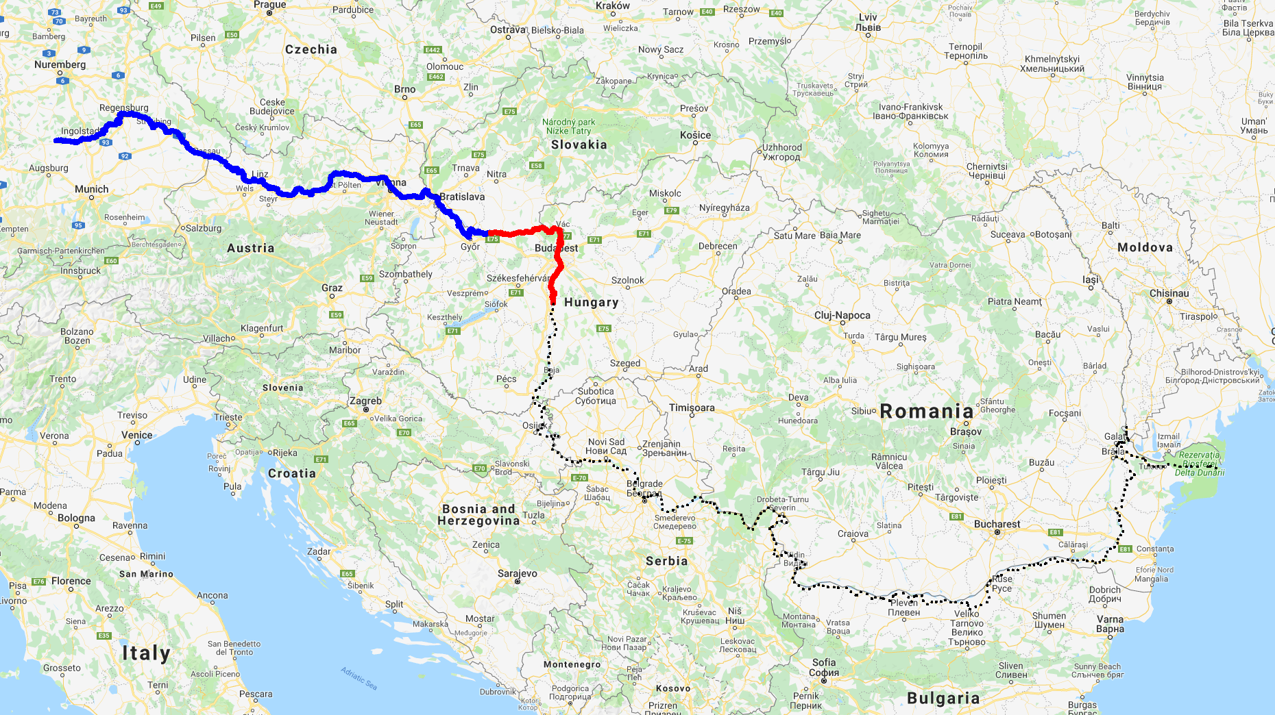
This National Park seems to nicely travel along the Danube with you - from Esztergom all the way to Budapest, it is always there or nearby, a friendly but unobtrusive touch on the shoulder. Unobtrusive… if you don’t know about it while riding the EuroVelo 6, it will silently stay aside in the hills above the river, in Pilis and Visegrád mountains, in the Börzsöny range, on islands, wetlands, and floodplains. There is a lot of hidden beauty here, just a short train ride away from Budapest. 

Where that second part of the park’s name comes from? Ipoly (Ipeľ) is a 232 km long Danube tributary with the source in central Slovakia (Ore Mountains) and the confluence near Szob in Hungary. One part of its valley, between the towns of Hont and Balassagyarmat, belongs to the National Park.

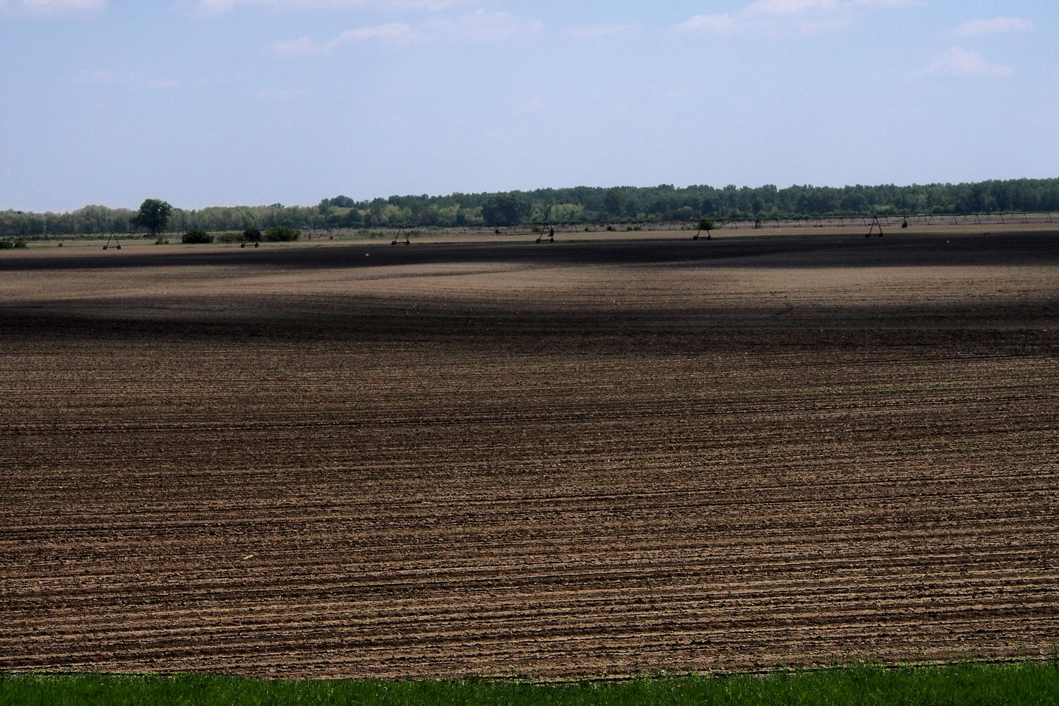
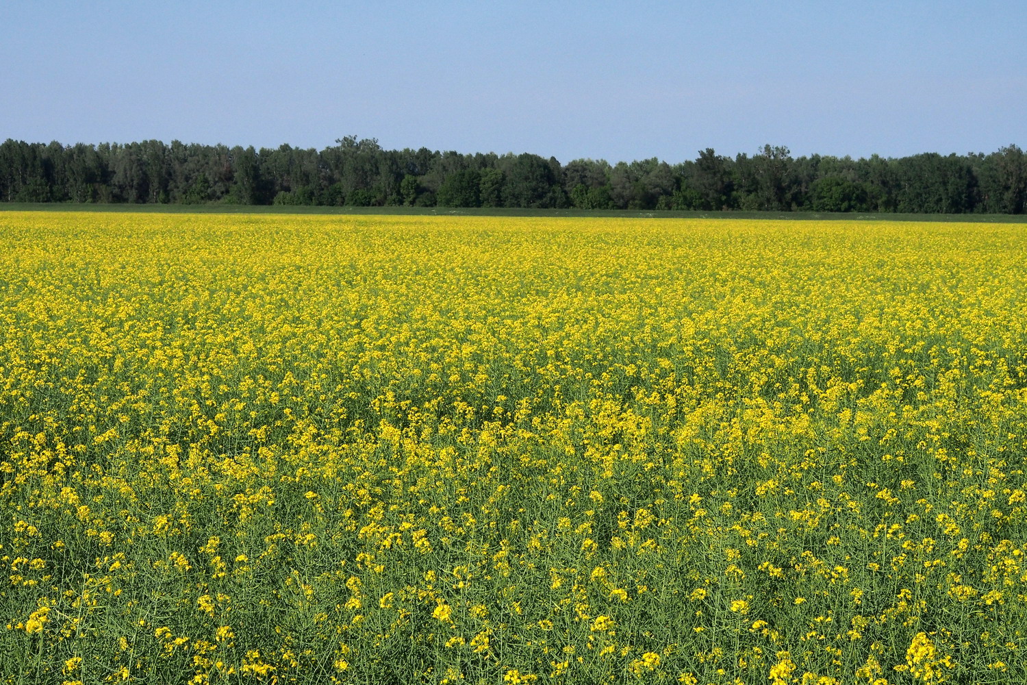
Established in 1997, it is the ninth and the youngest, but at the same time one of the most diverse national parks in Hungary. Besides its area of 60,314 ha, the Park’s Directorate also takes care of 8 Protected Landscape Areas, 32 Nature Conservation Areas, one area recognized by a European Diploma for Protected Areas and a Biosphere Reserve of Pilis mountains. It is also part of the EU Natura 2000 nature and bird protection network. The uniqueness of the park comes from a mixture of three different landscape types: river valleys, mountains, and lowland. Of its 191 species of birds, 40 are protected by law. Some species of flora and fauna have their sole habitat here.

The Directorate has to find ways to save these rare and endangered species, protect the integrity of the wildlife, plan and implement the conservation measures, and let’s not forget the preservation of cultural and historical values – all this (a bit similarly to the Wachau region) in the crowded central part of Hungary and amidst dense infrastructure and industry, including Budapest. So expect some magic to be unveiled later here :)

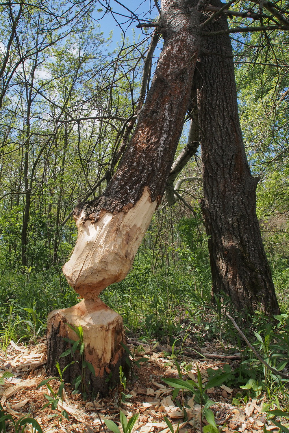
One interesting development is that there are now more and more signs of habitation by Eurasian beavers and lynx, two species which had previously disappeared completely in this region.

The region is the cradle of numerous cultural values as well. Traces of prehistoric humans have been found in the caves, while the Börzsöny is home to Drégely Castle, an important site in Hungarian history. Fine examples of medieval ecclesiastic architecture include the ruins near Pilisszentlélek and the monastery of the Order of St. Paul at Márianosztra. The Park also has local historic houses and museums which present the culture and life of the region's German minority, which was settled in the area in the 18th century.

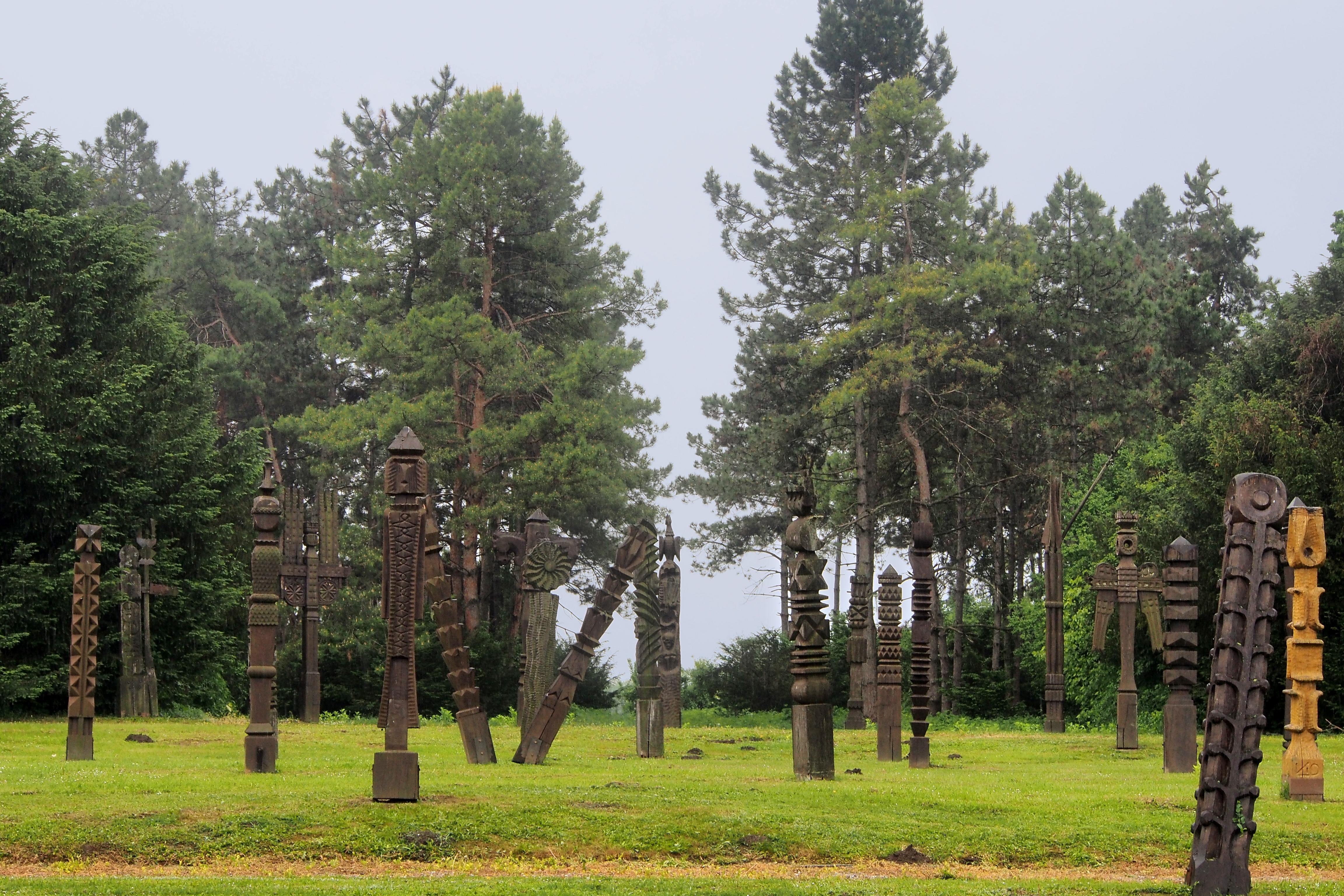
The emblem of the National Park bears an image of a rosalia longicorn, which is associated with old beech forests as its larvae develop in the rotting wood of dead trees. Its wings are brilliant steel-blue and black, and its long antennae bring to mind a string of pearls. It is a protected species, known as Rosalia Alpina. The choice of the emblem also symbolizes that the mission of nature protection is to safeguard life in all its forms.

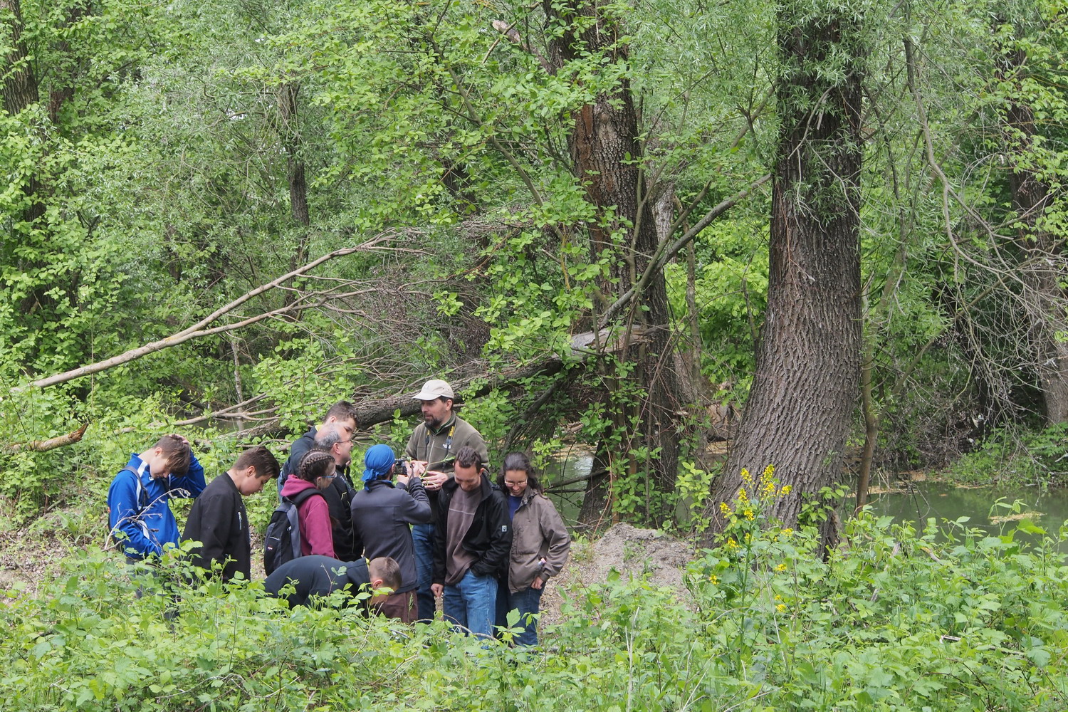
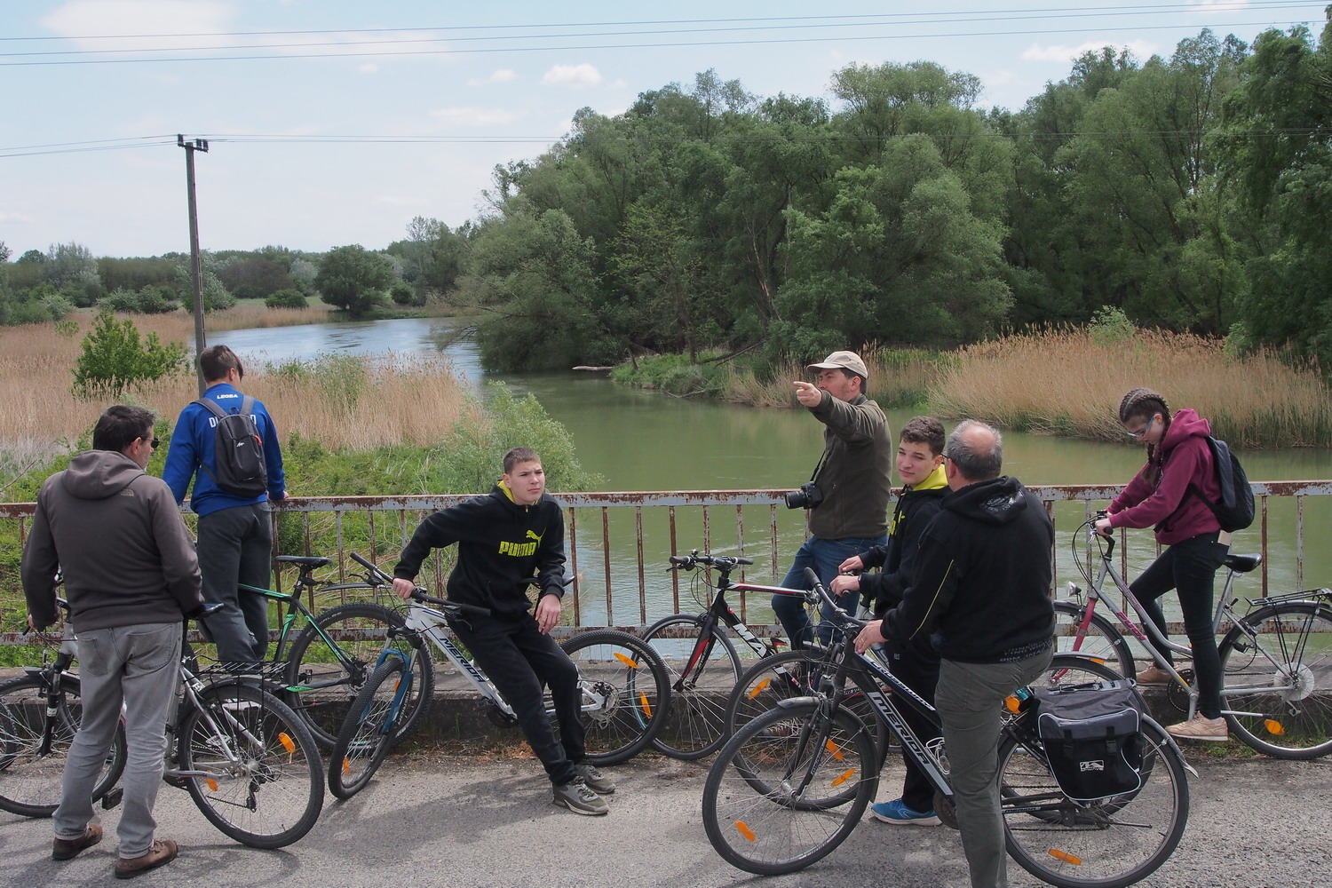
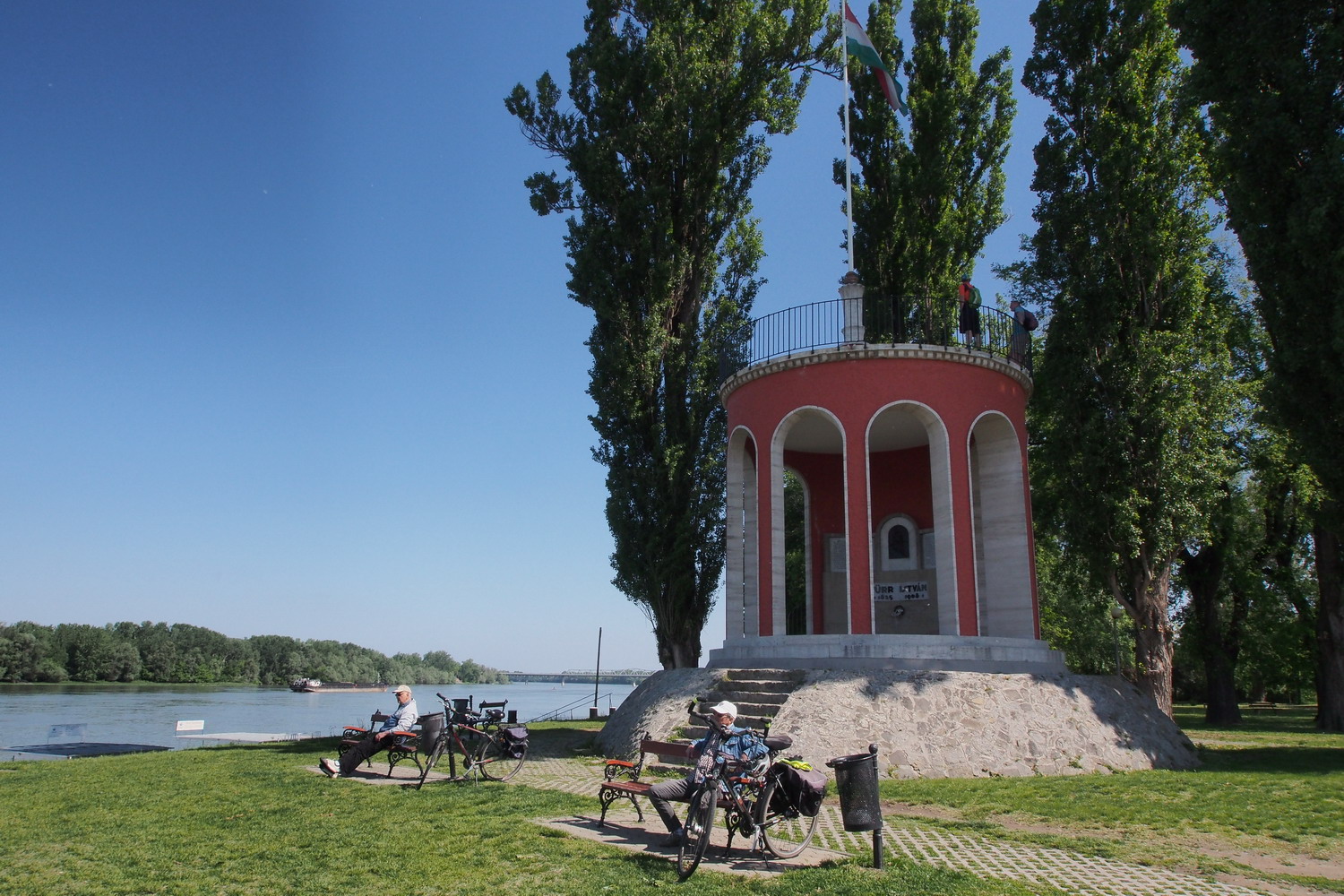
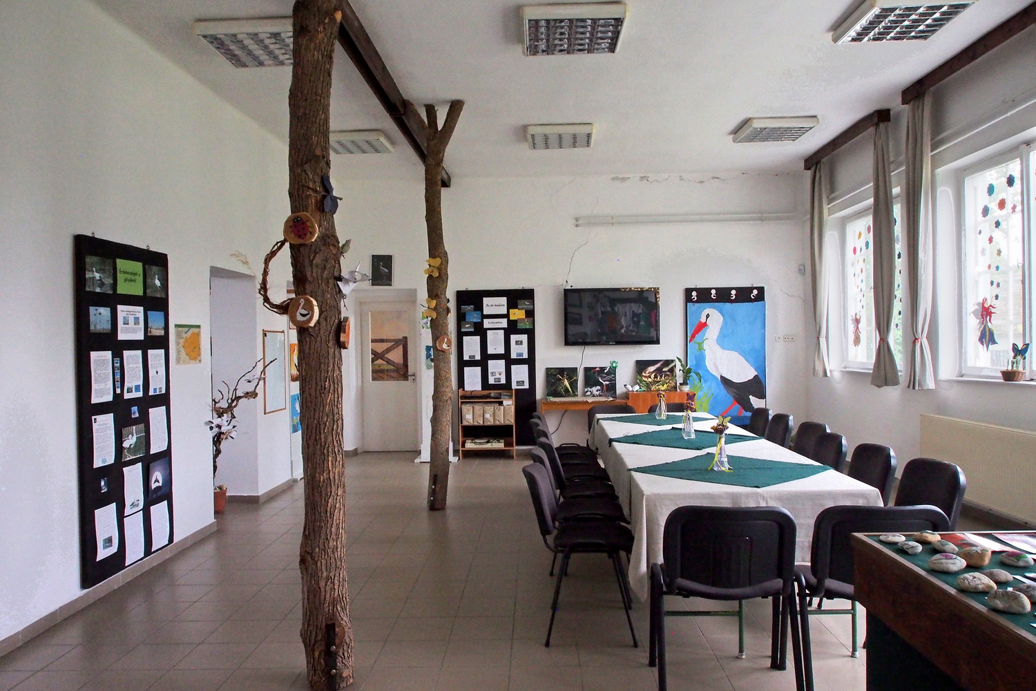
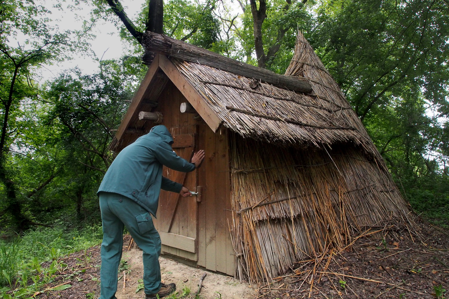
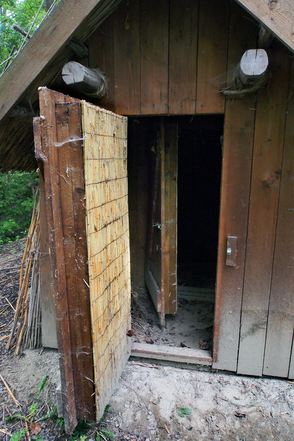
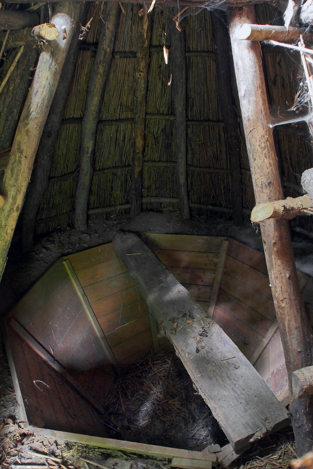
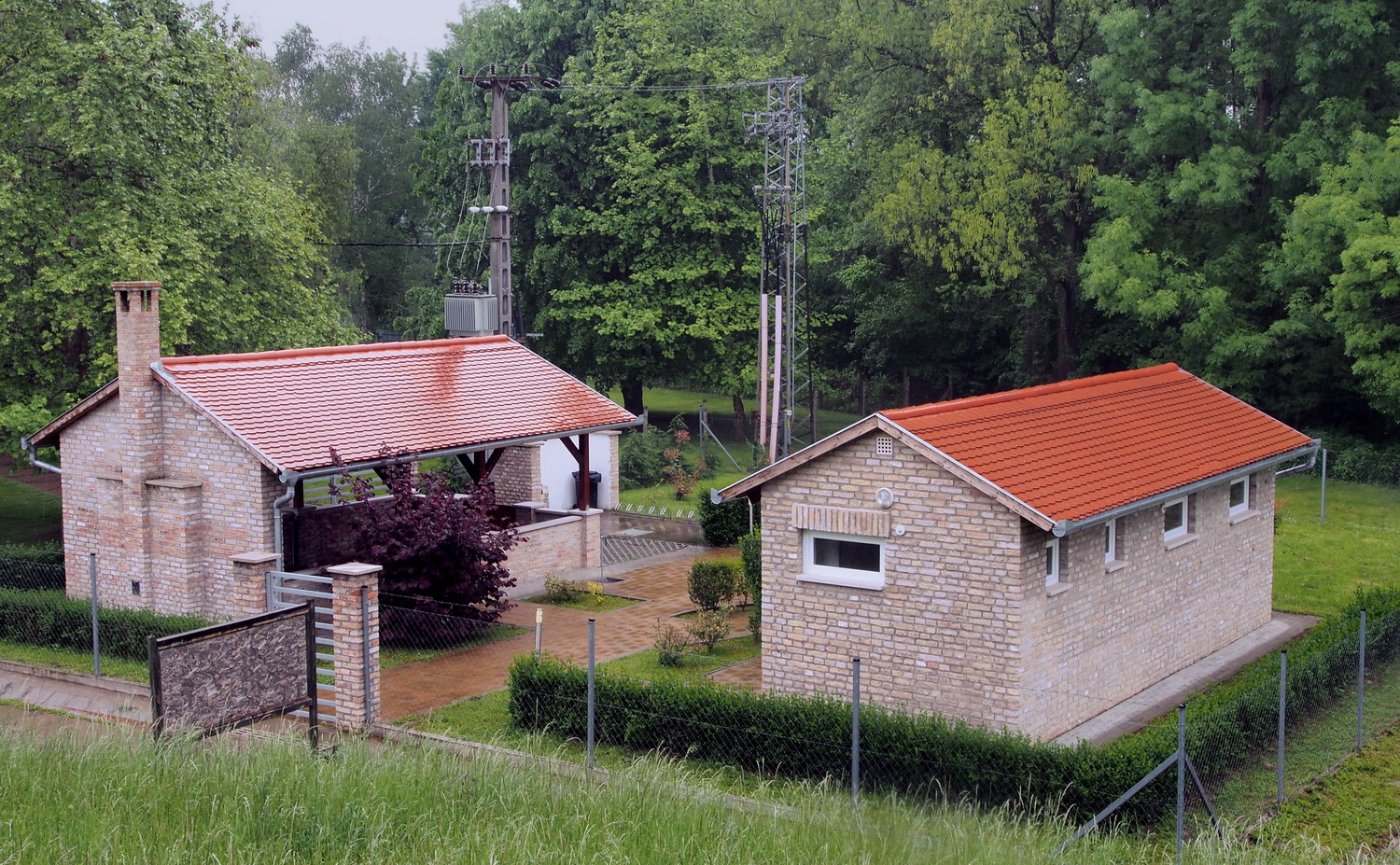
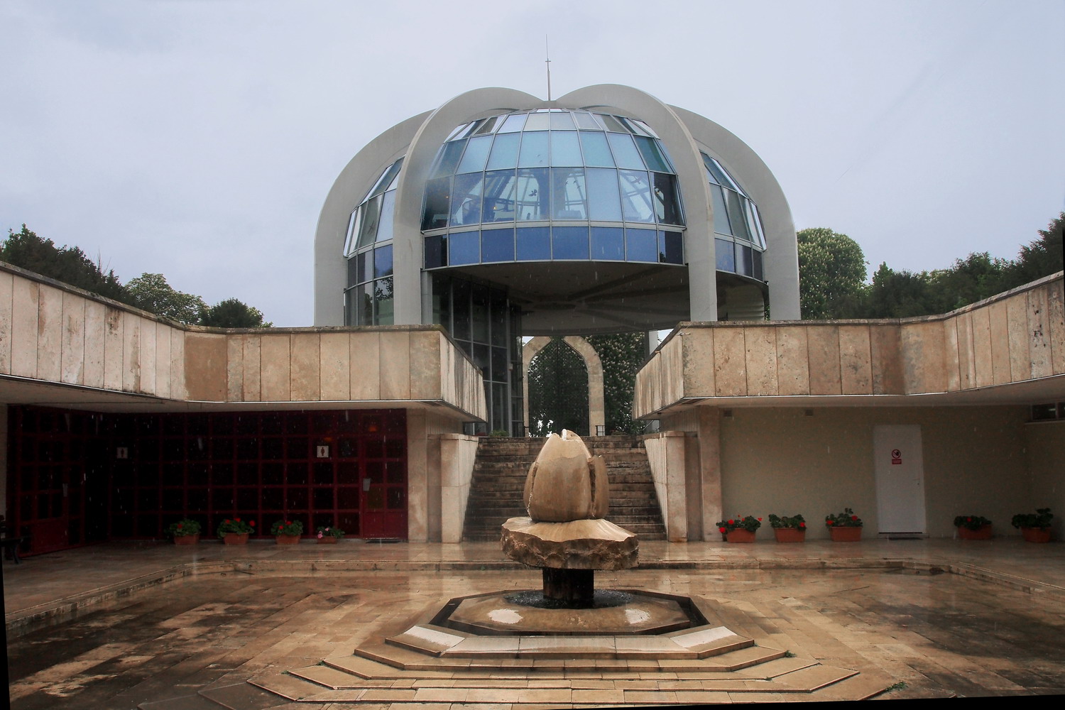
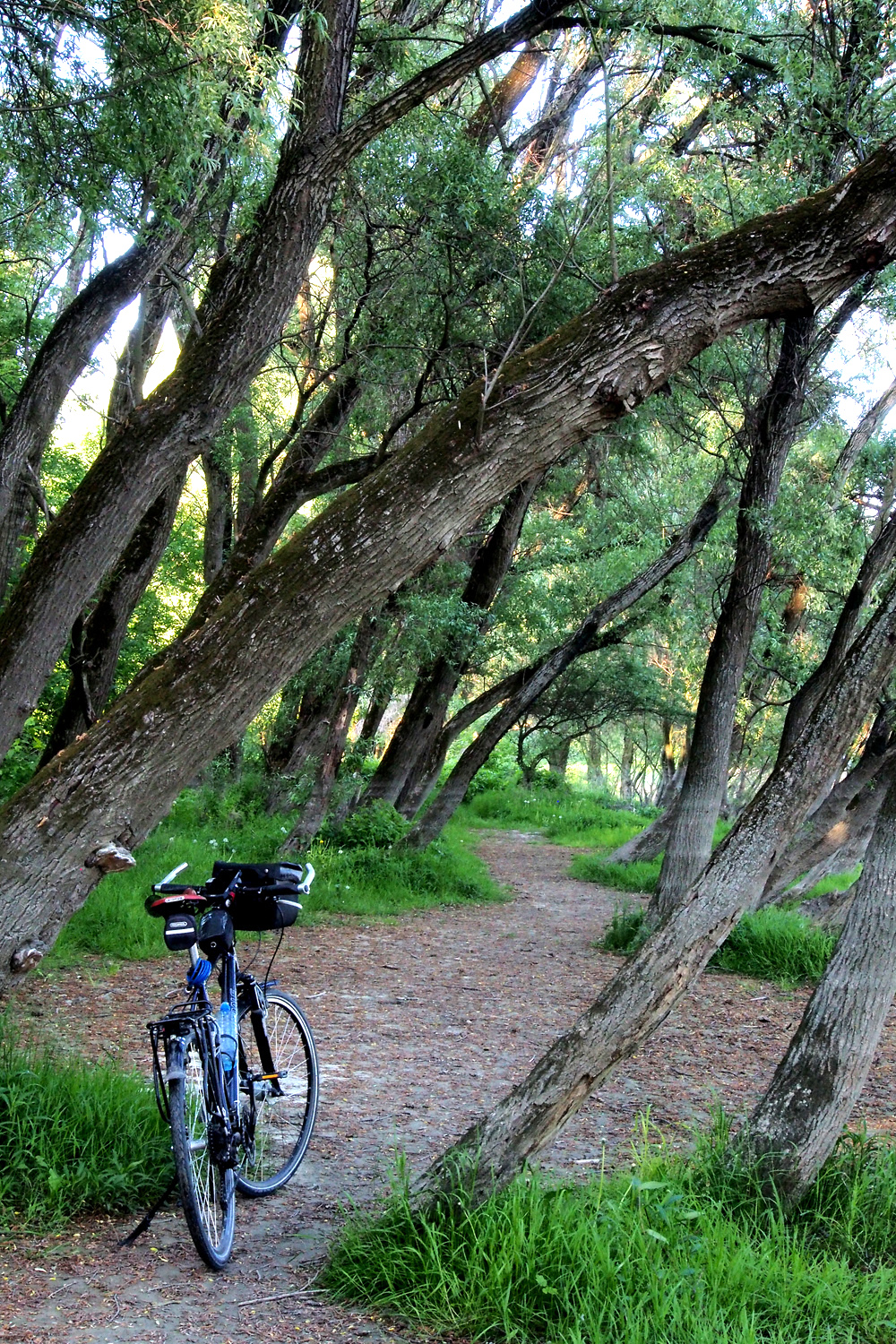
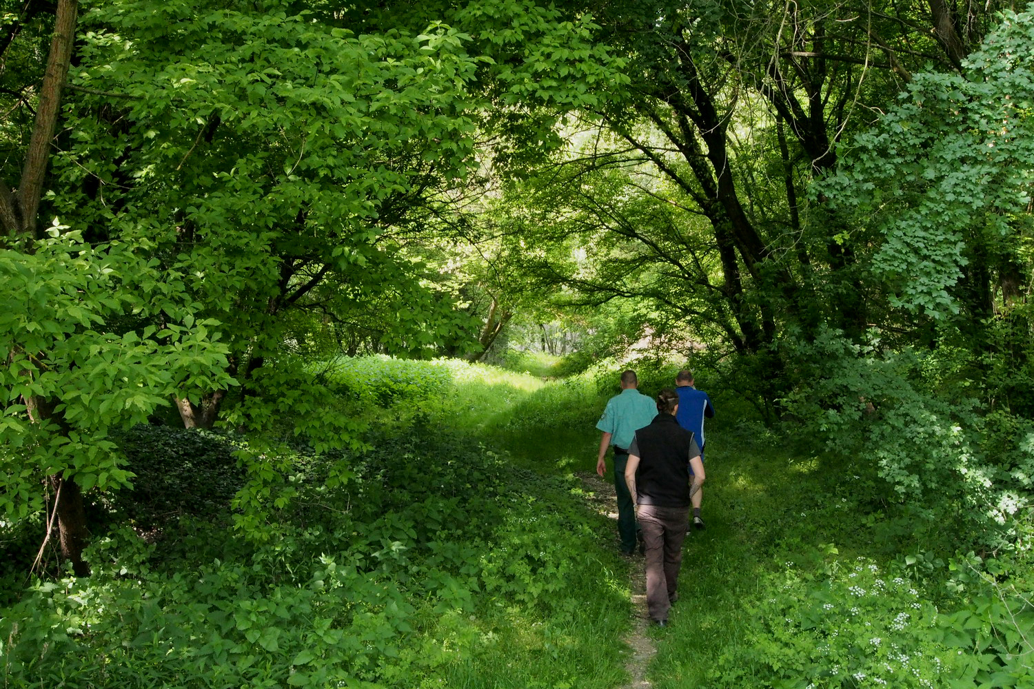
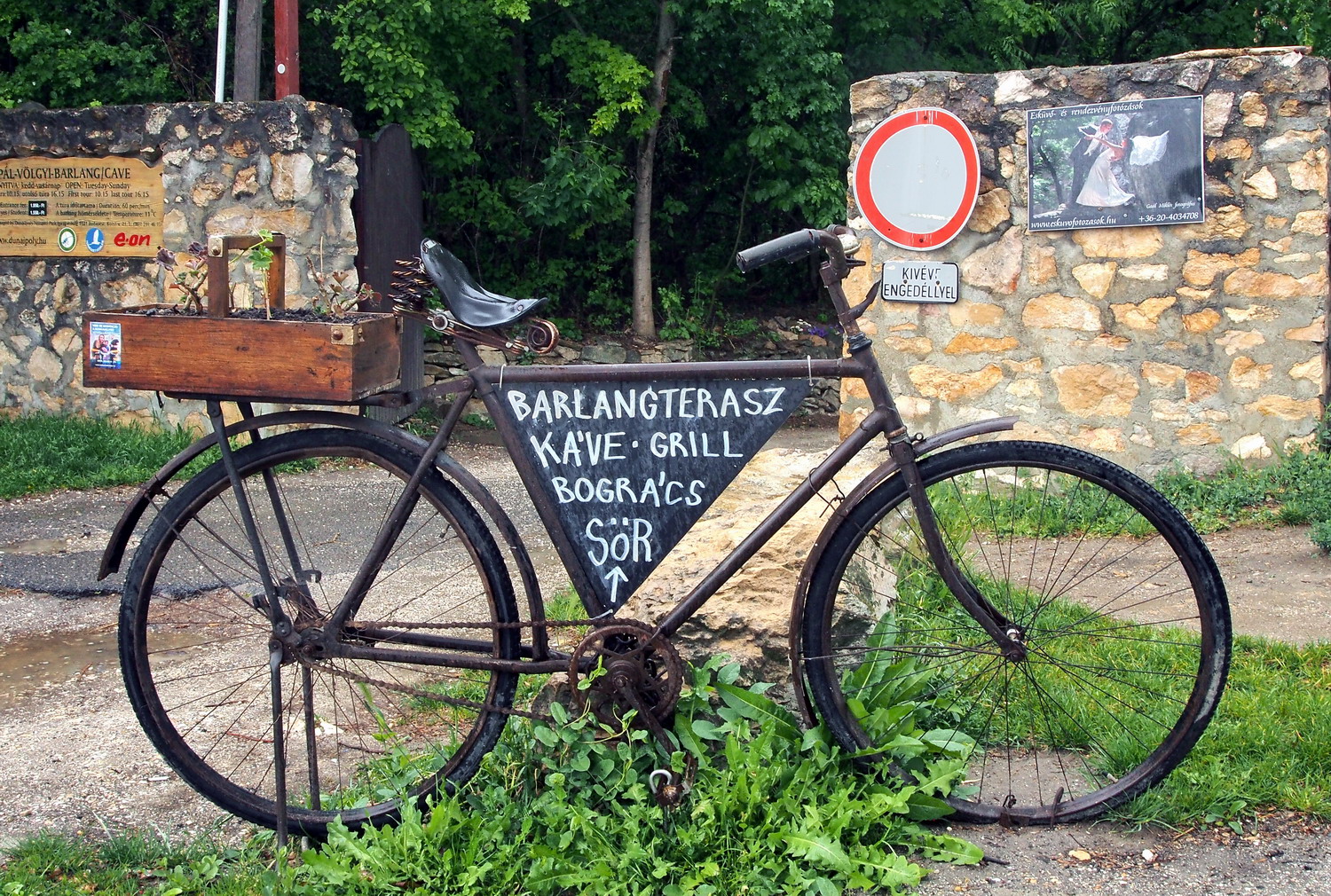
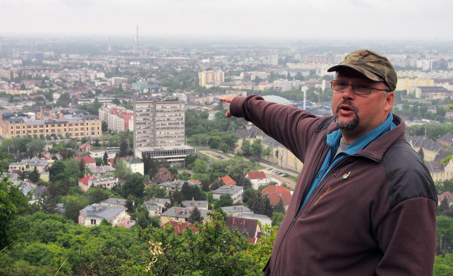
To start my visit to Esztergom’s part of the Park I needed to cycle 6km out of this charming historic town. Then I came to the Kökörcsin Ház (“Anemone house”), the headquarters of the NP, where I met Szilvia Németh and Gergely Kálmán.

With his University degree Gergely started a career in the park as a tour guide six years ago, then after three years became a communication officer at the park’s Department of environmental education. His job is to introduce values and qualities of the Park to visitors, and to explain to the public why their measures and actions are important: “This is one efficient way to provide nationwide support for our activities and to be sure that enough people will always stand behind us.”

DANUBEparksCONNECTED gave Gergely a chance to check how the public relations strategy was applied in Fertő-Hanság and Kiskunsági National Parks, while Djerdap NP is currently on his wishlist.

The area definitely has an interesting past: In the first place, I was surprised to learn that the Ottoman occupation of Esztergom region lasted for 150 years. That long? Phew…now these 300 years of Ottoman occupation of Serbia seem a bit more… acceptable.

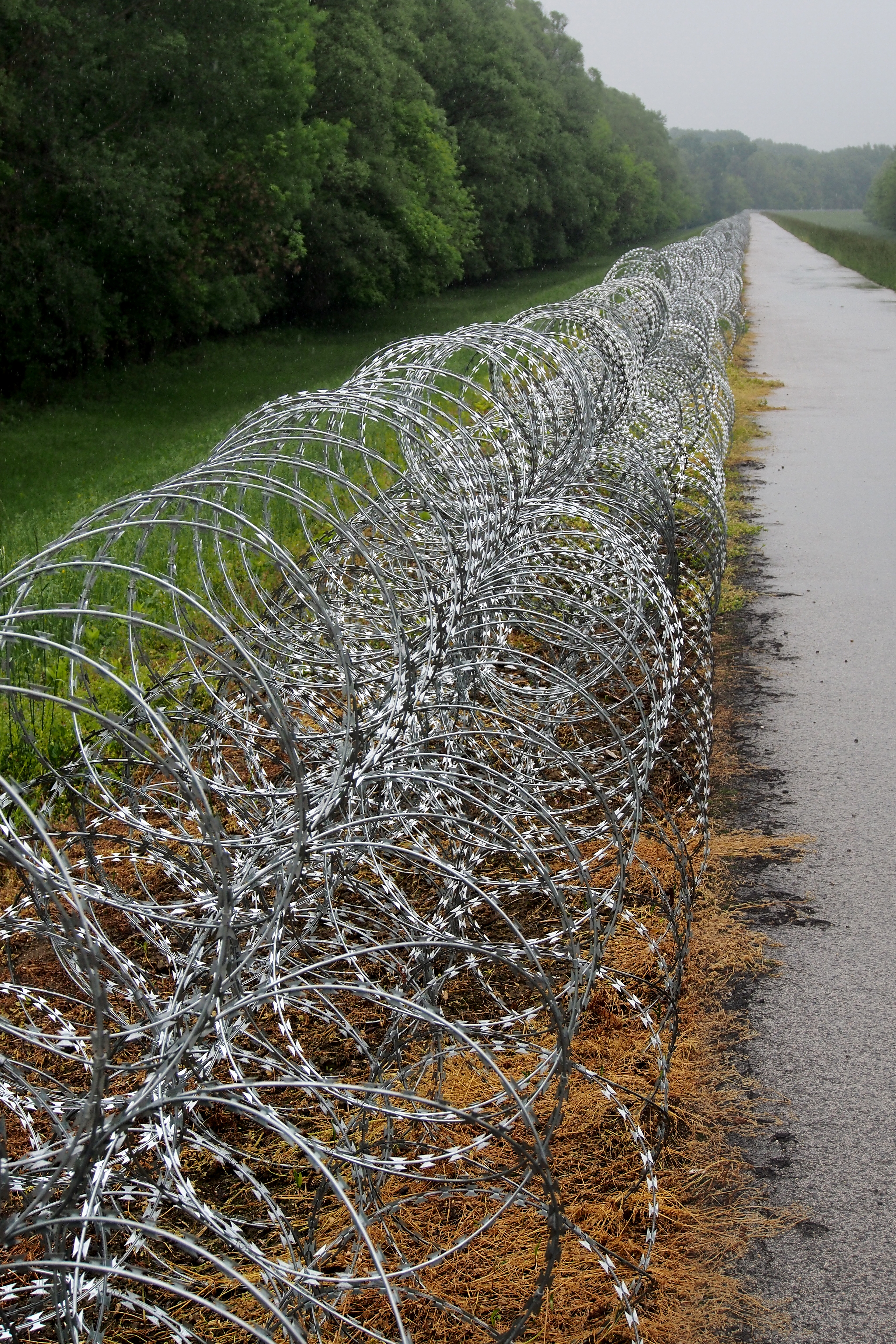
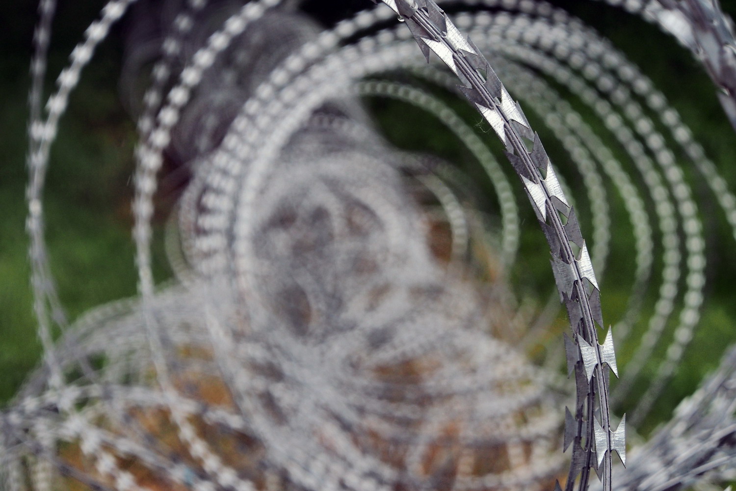
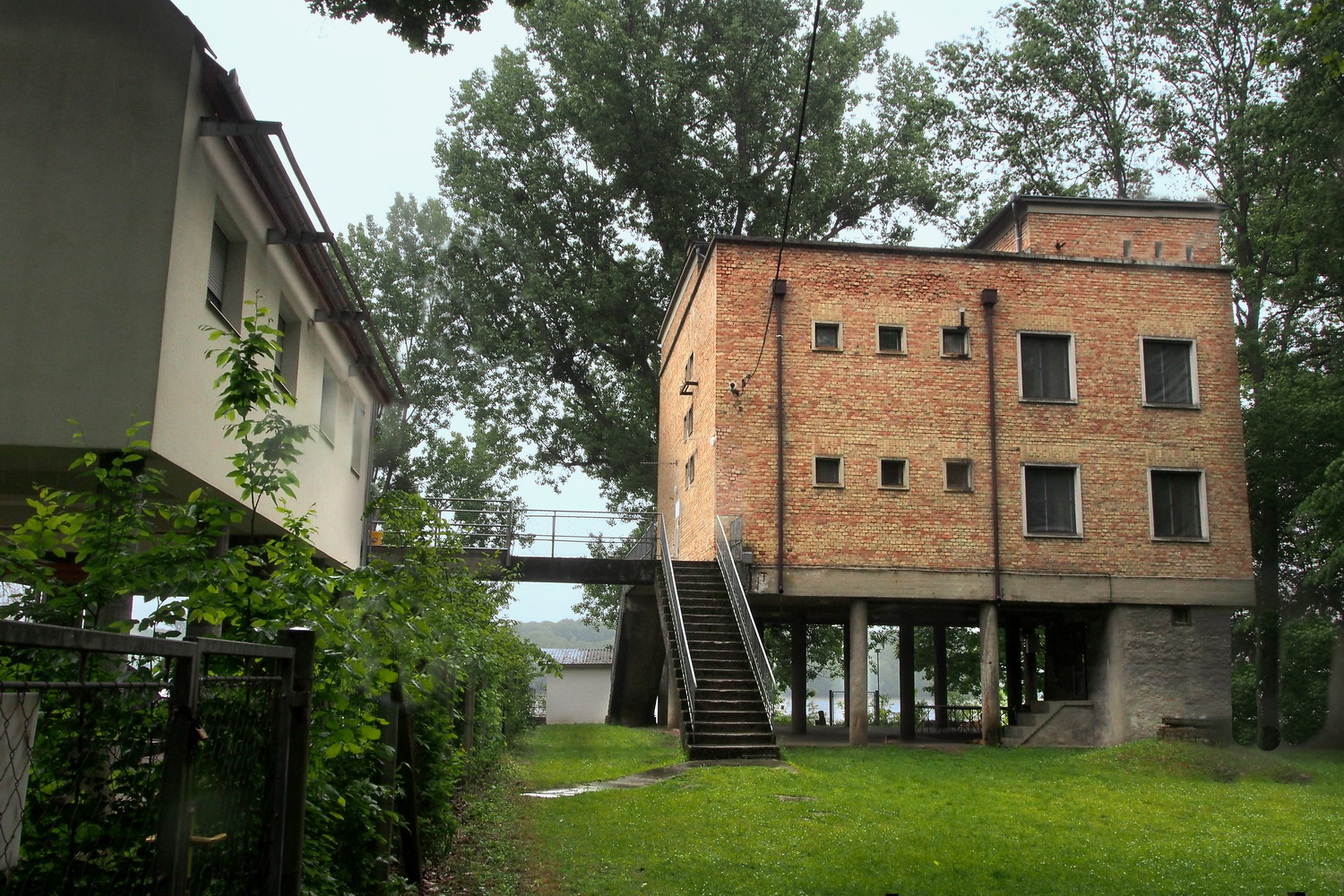
And then: the spacious, hill zone around the Kökörcsin Ház was used as a military exercise ground since the end of WW I well until the nineties of the last century when Russian troops left the region. And the house itself was actually built to be the officer's headquarter. And the concrete surface on the parking lot is 60 cm thick – it was made to bear the weight of the tanks. And the nearby small lake is called Killer lake: it was used to practice operating tanks underwater and one day a complete Russian crew in one of them drowned. 

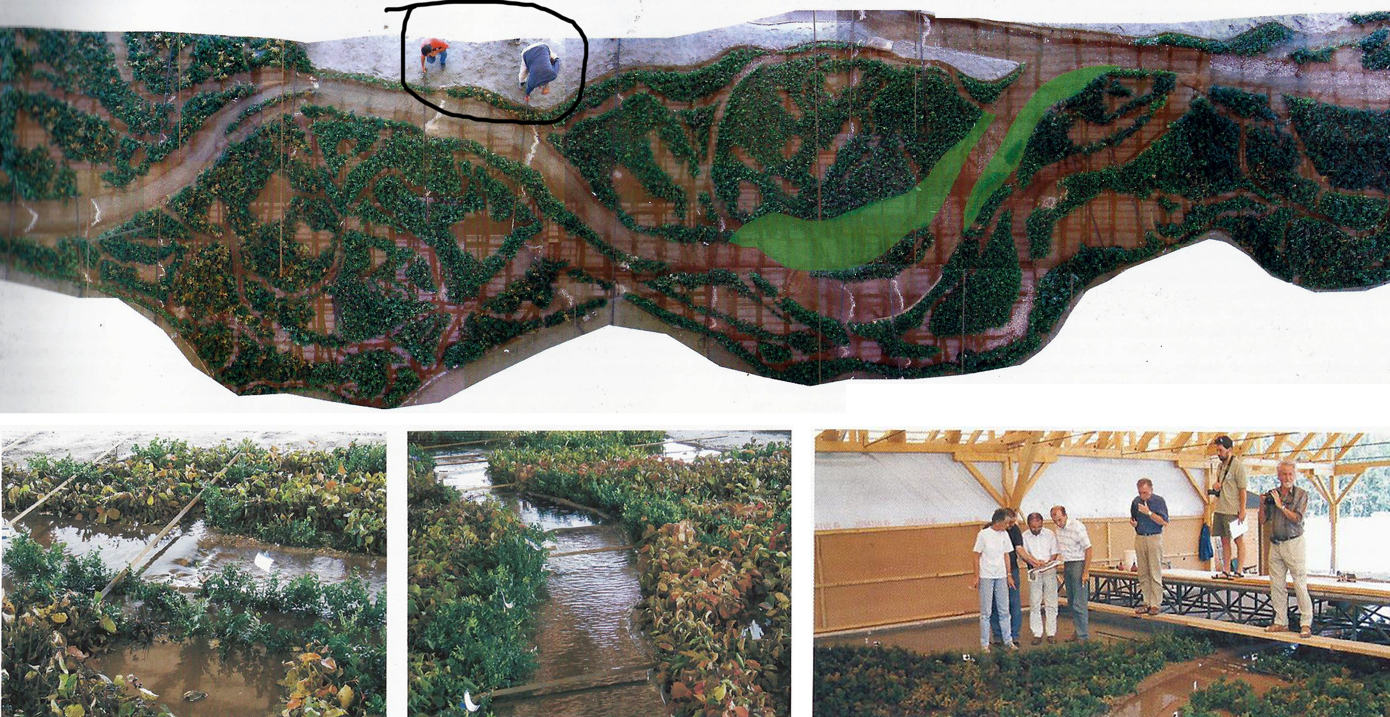
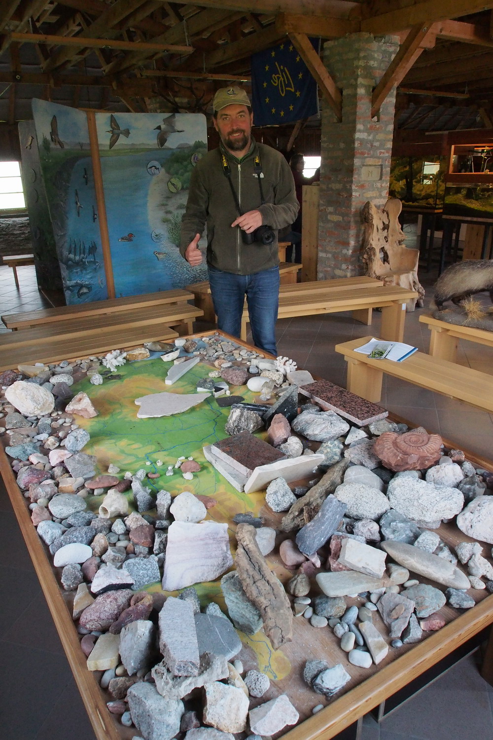
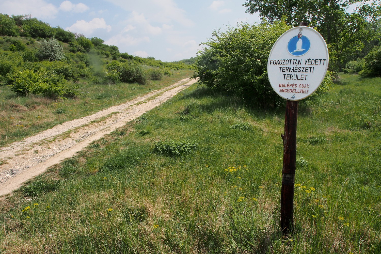
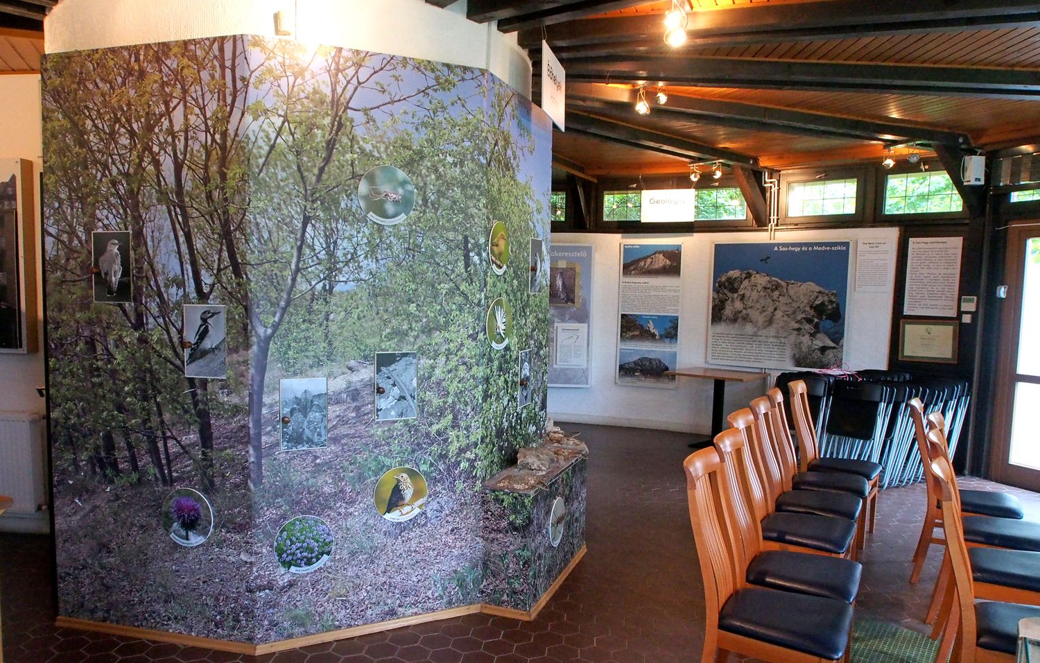
And… and today it is a Protected Area (*) that sees 3000 visitors per year, mostly school children. There is space to accept 50 of them at a time, for an educational stay. There is an exhibition on the second floor of the house, presenting values of the area.

(*) There are two levels of nature protection in Hungary: Protected Area and Strictly Protected Area. Visiting a SPA is allowed only with the escort of the rangers.

The whole Danube in Hungary is declared as a Natura 2000 zone. (But an interesting fact is that the PA’s of Hungary provide a higher level of protection than the Natura 2000 zones.)

Maximal penalties for damaging and destroying protected species of flora and fauna in Hungary are in the range of 3000 EUR, and the worst cases might include imprisonment. But while the maximal penalty for the white-tailed eagle is something that one could expect, the intrinsic values of some other protected animals can be quite surprising. For example, the “worth” of brown bears or wolves is under 800 EUR, while one species of humble (but very rare) forest mouse is in the same category as the white-tailed eagle - 3000 EUR. To see more check this page.

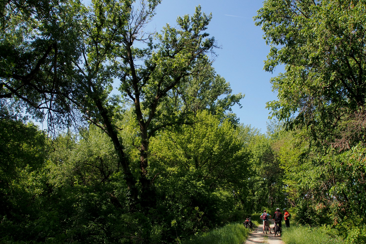
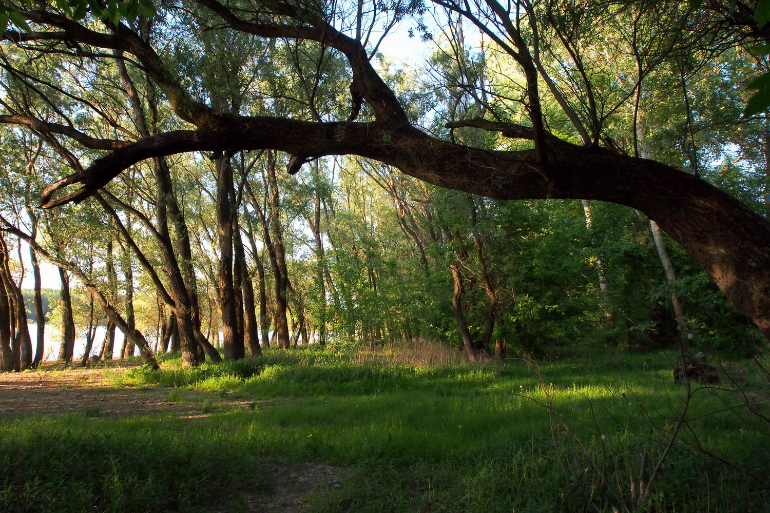
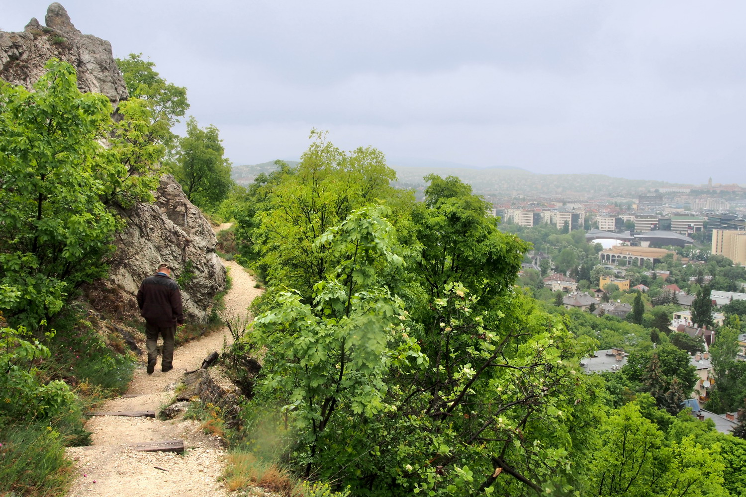
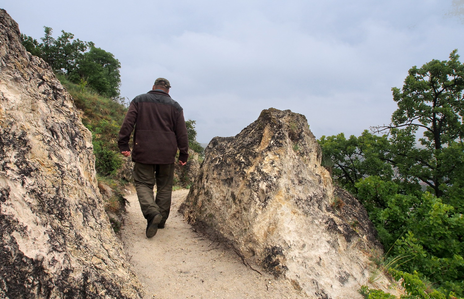
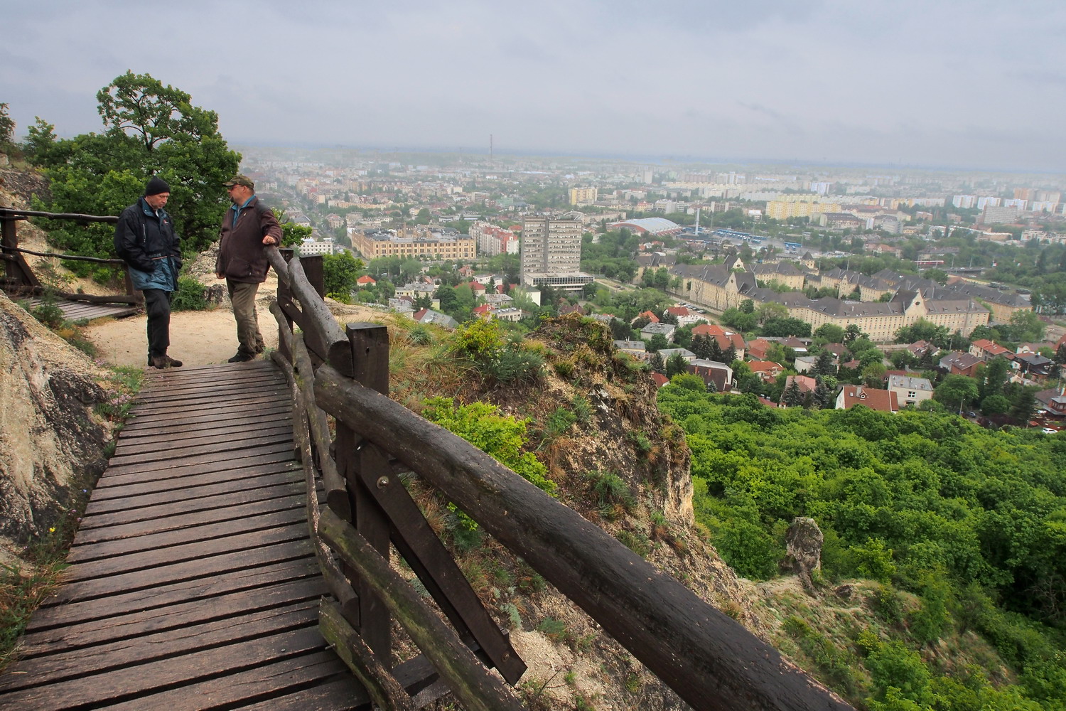
My hosts took me to the Strázsa (“Patrol”) hill Study Trail. All hills in the region are Triassic, 230 million years old limestone formations and the highest of them has an elevation of 730 m. Strázsa is much lower, but approves its name: one can scan large distances from its peak. Before reaching that point we experienced a diverse landscape: first treeless and sandy grassland, then shear strength of a karstic cliff with its characteristic shrubs and including a quarry that was used until 100 years ago. There were several protected plant species along the way.

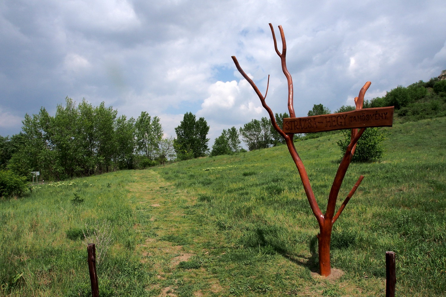
On the Strázsa hill Study Trail

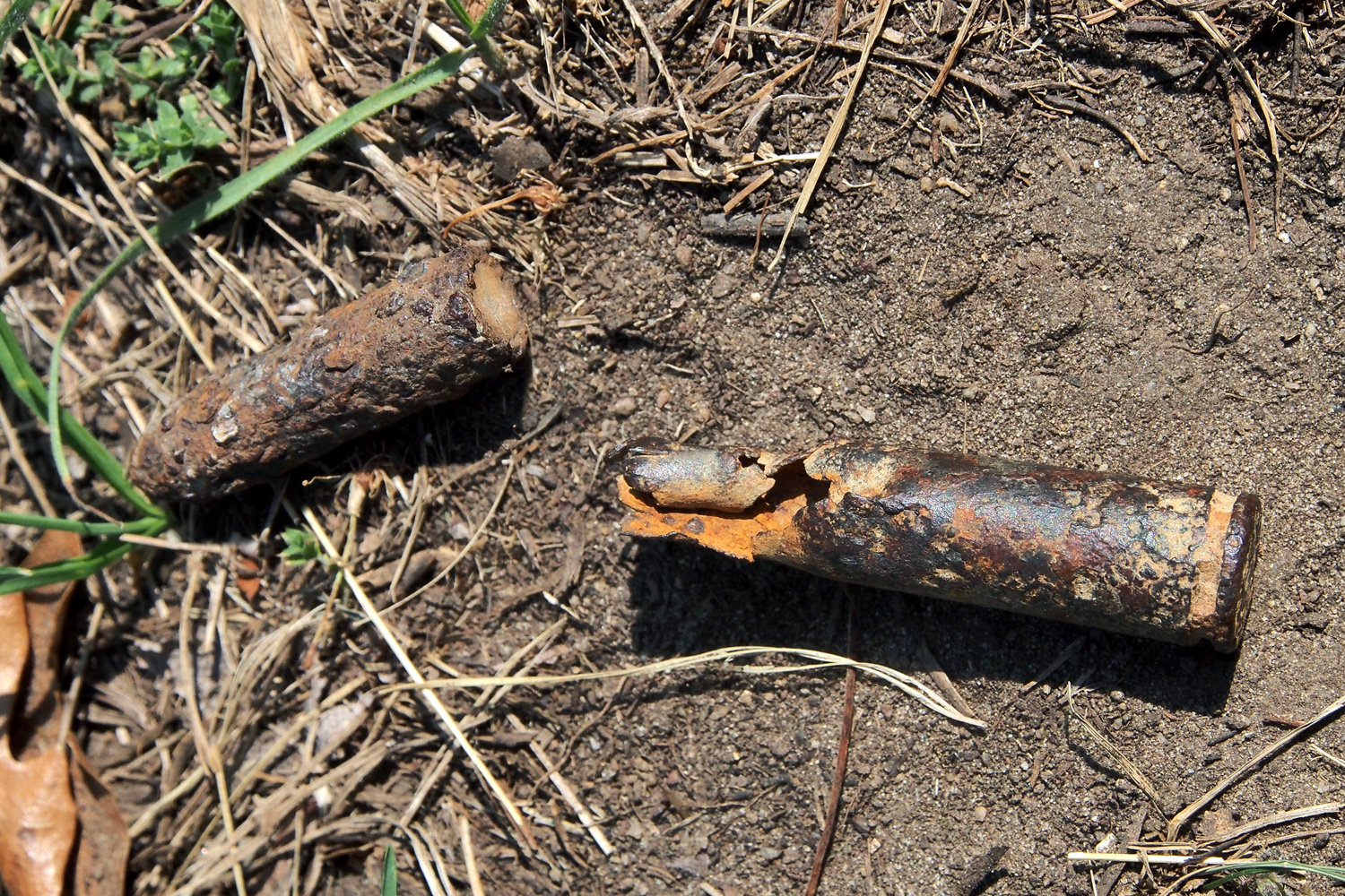
Reminders of the past

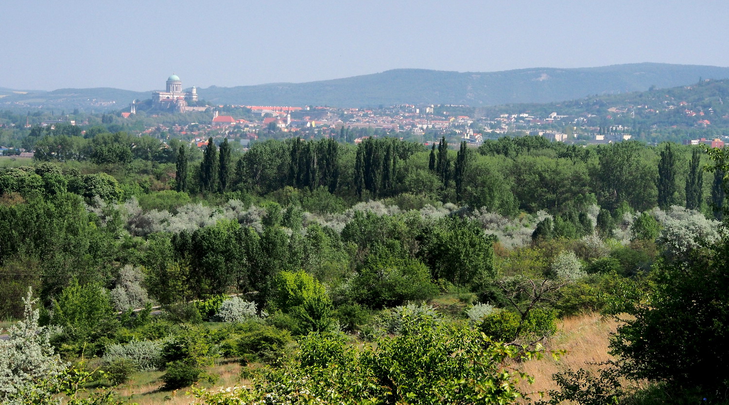
View of Esztergom from the Strázsa hill

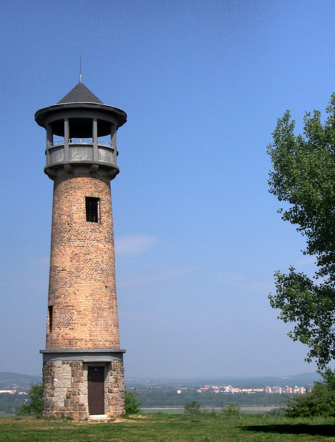
The observation tower on the top of the hill was built by Soviet troops
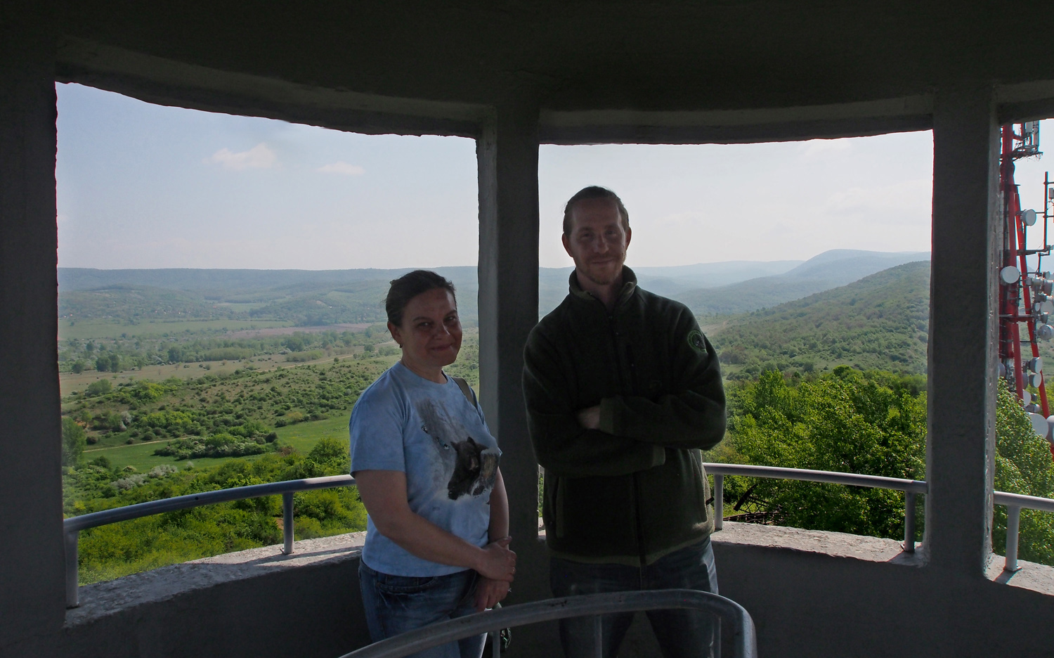
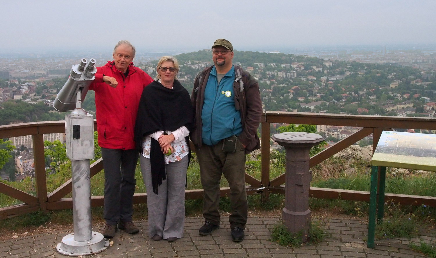
Szilvia and Gergely 

Except for this walk, Kökörcsin Ház offers to visitors the “Bunker” tour: you can visit a few of these interesting remnants from the area military past.

We walked a bit more through the fine landscape behind the Strázsa hill. After a few days of strong rain, spots of dainty purple color here and there marked Szilvia’s and Gergely’s bellowed “pets”: orchids. Happy and passionate, they knew the exact place even before we would arrive there, and after a while I was curious did they even give a name to each of the plants. A bit of giggling and then I got this confidential information: “Orchids have some kind of a character and they are a bit mysterious too. They disappear for a couple of years - sometimes even for six, seven years - and then come back. This one here, for example, reappeared this spring, after two years.”


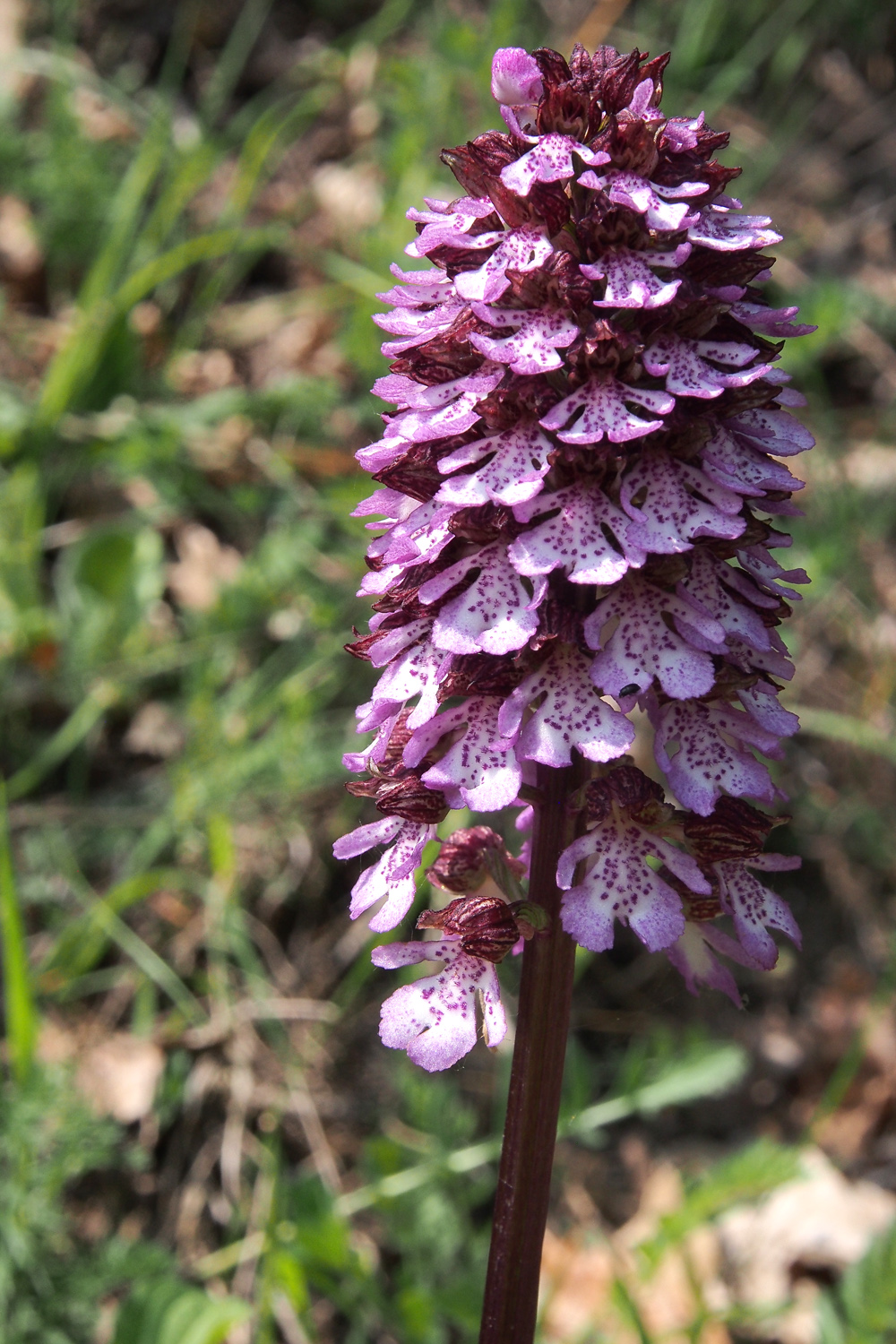
            Checking an old bunker                        The purple beauty

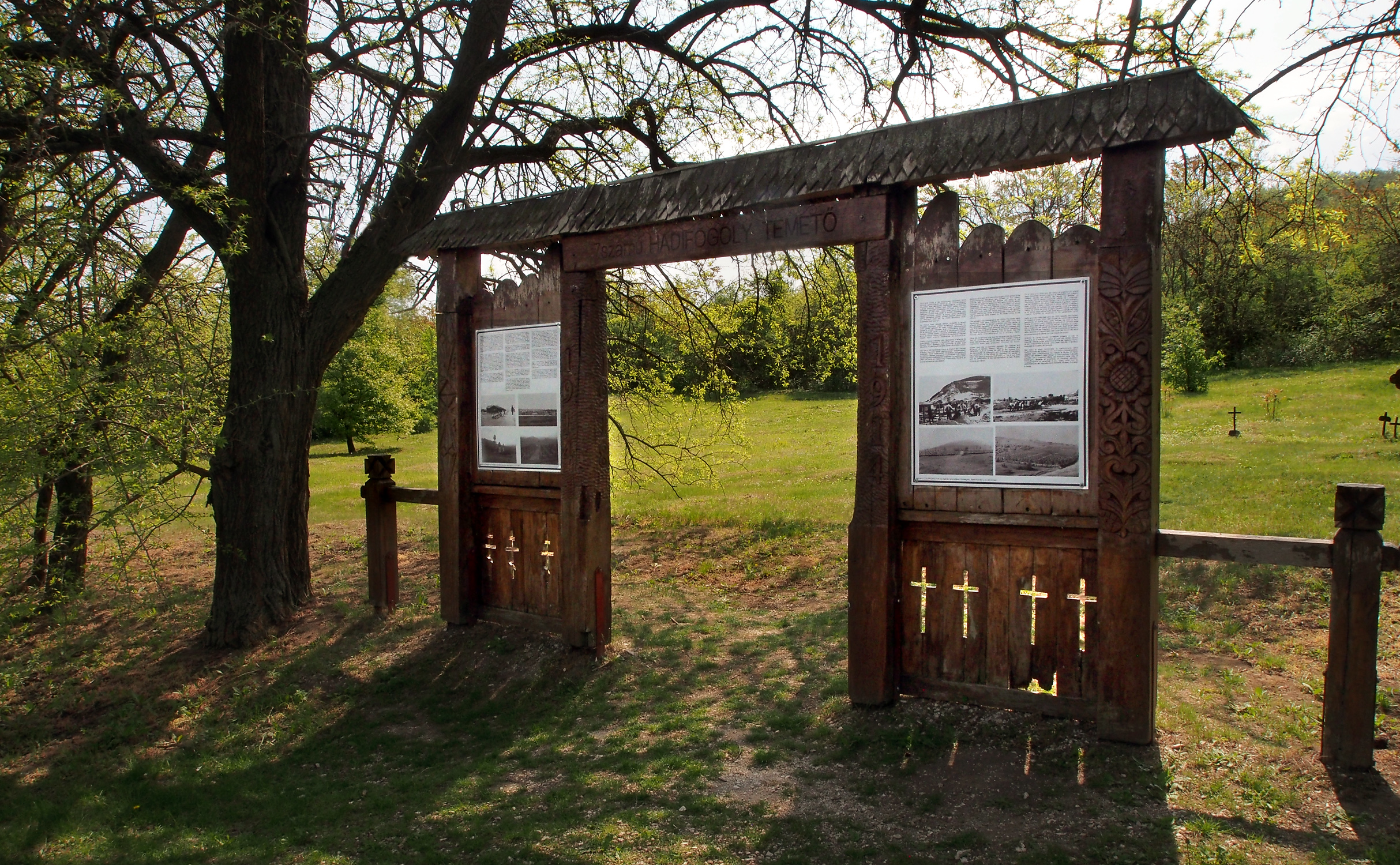
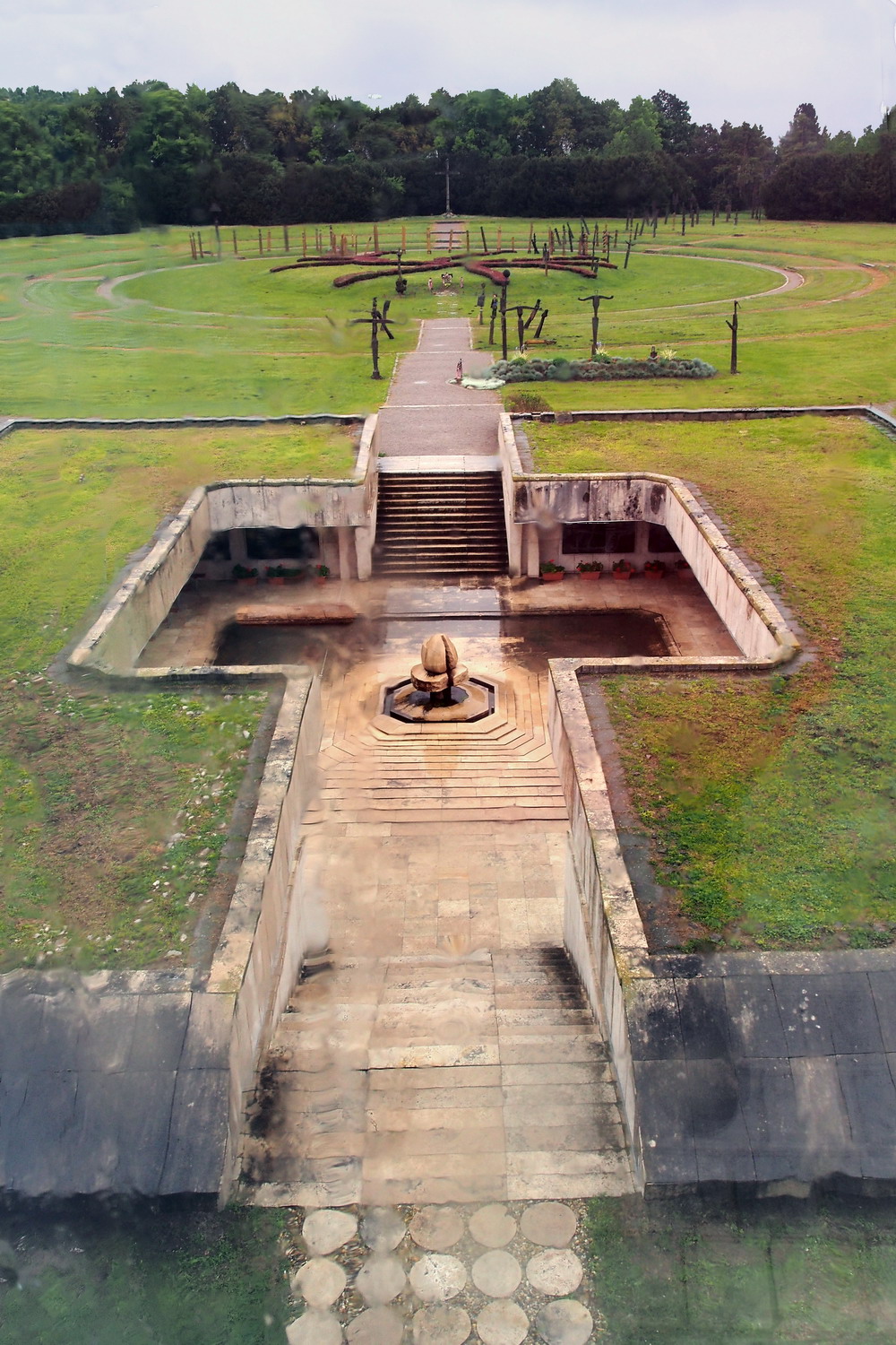
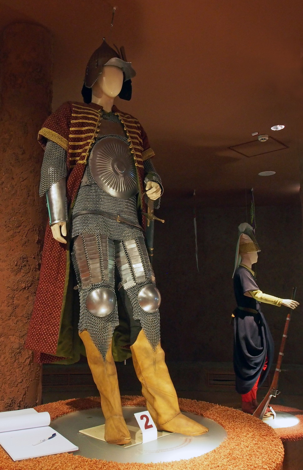
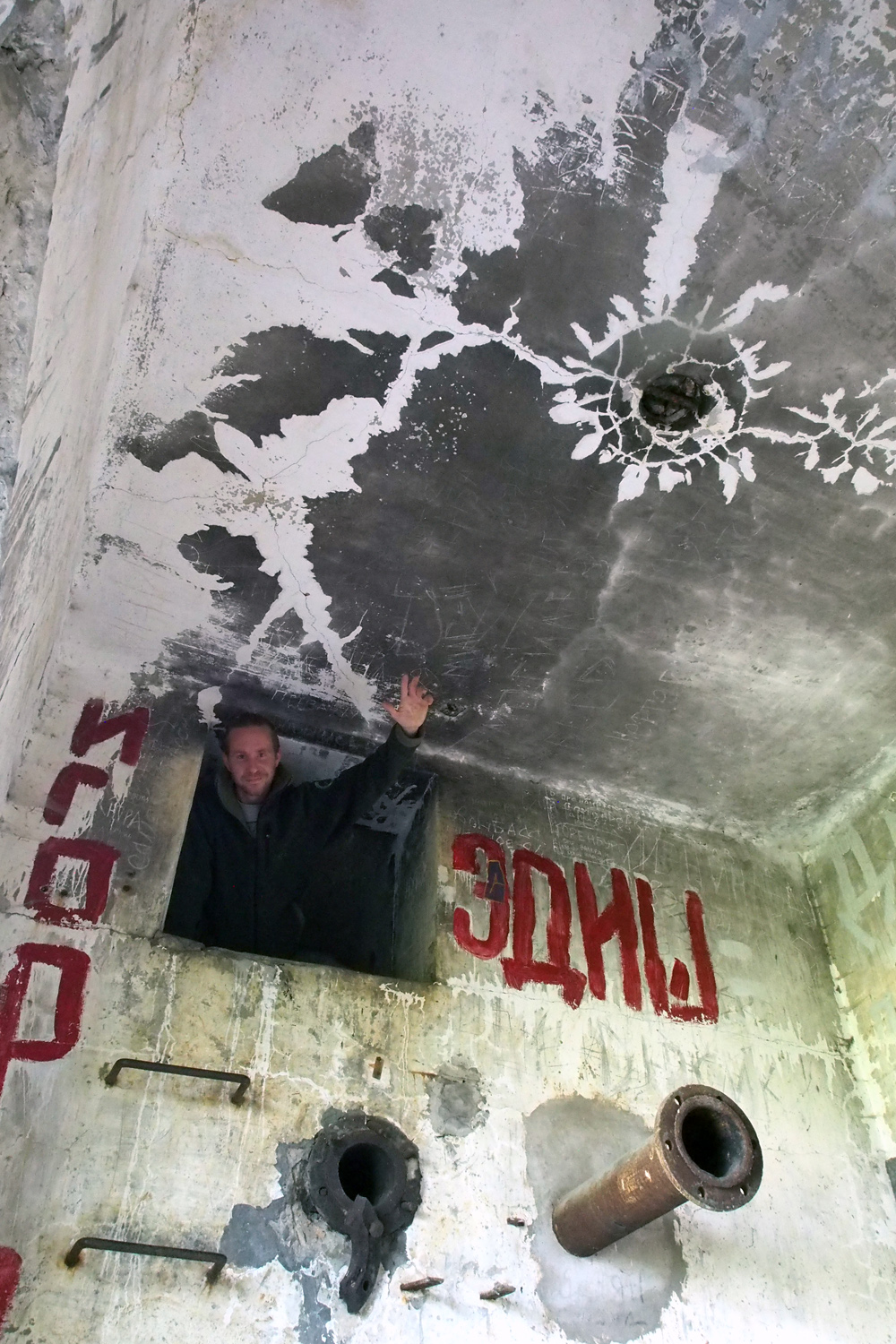
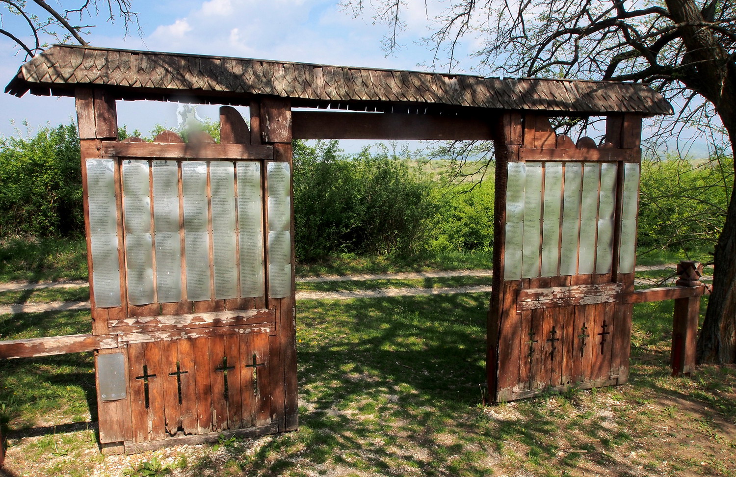
Between 1914 and 1918 one of the largest Prisoners of War camps of the Austro-Hungarian Monarchy was located in the military exercise field surrounding Strázsa Hill. Many of the prisoners were victims to epidemics and were buried in eleven cemeteries - this is the Cemetery No 7, with graves of 1548 Italian, Romanian and Serbian prisoners. When the Soviet army took over the area, the cemetery was neglected and gradually covered by scrap. It was cleaned and renovated from 2007 to 2009 with the joint effort of the Hungarian Institute and Museum of Military History, Ministry of Defence, Municipality of Esztergom, Cultural Society "Honved", Duna-Ipoly NP and a number of volunteers. Among participants at the opening ceremony on 1st July 2009 were representatives of Italy, Russia, Romania, and Serbia.

Signposts in the Protected Area

Back to the Kökörcsin house for a quick walk to the Killer lake before saying goodbye to my hosts. Its water level is observed and adjusted by the Park’s staff, but at this moment it was empty: the local government was financing cleaning its bottom from metal artefacts (again, remnants from the military past).
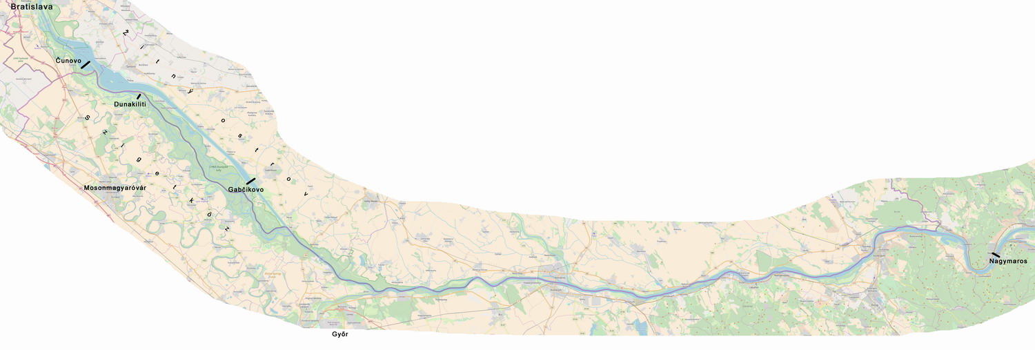
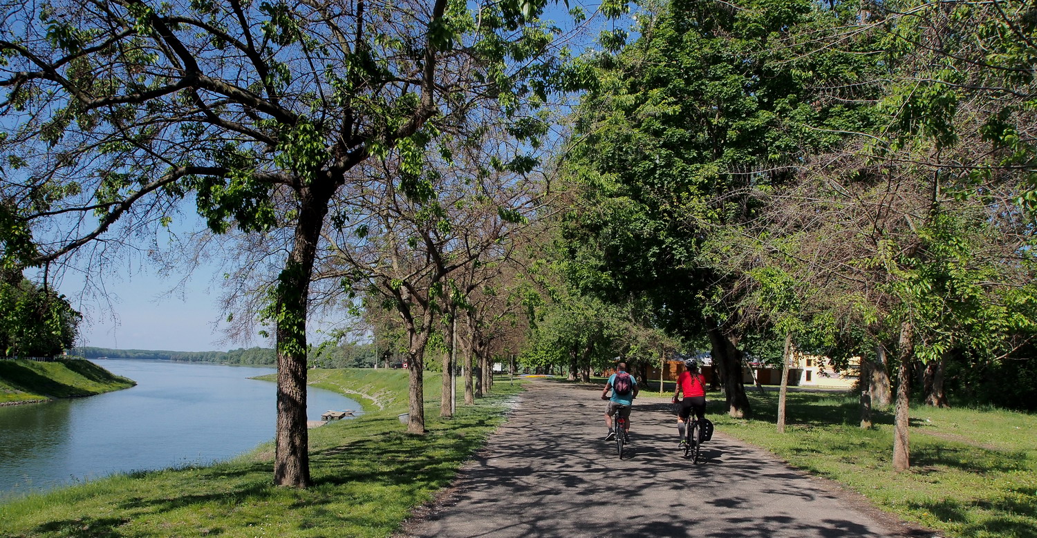
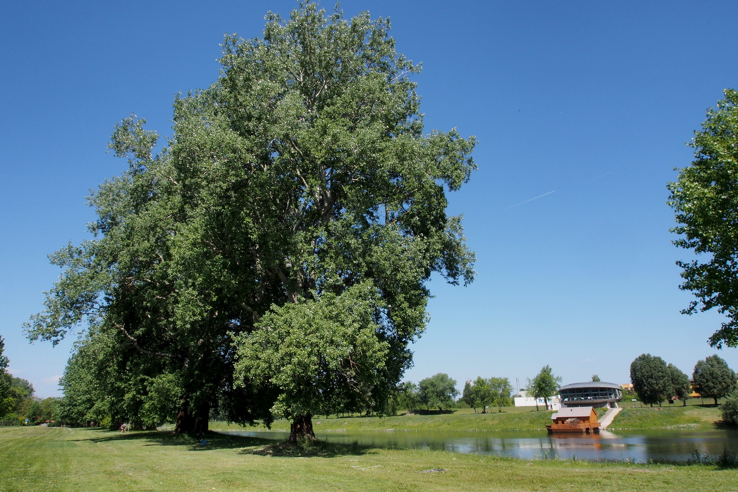
Szentendrei island

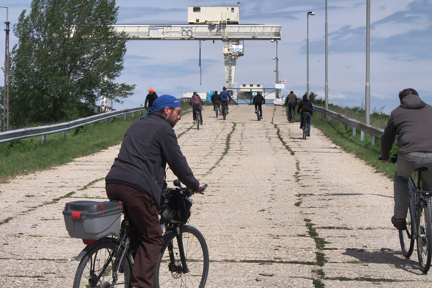
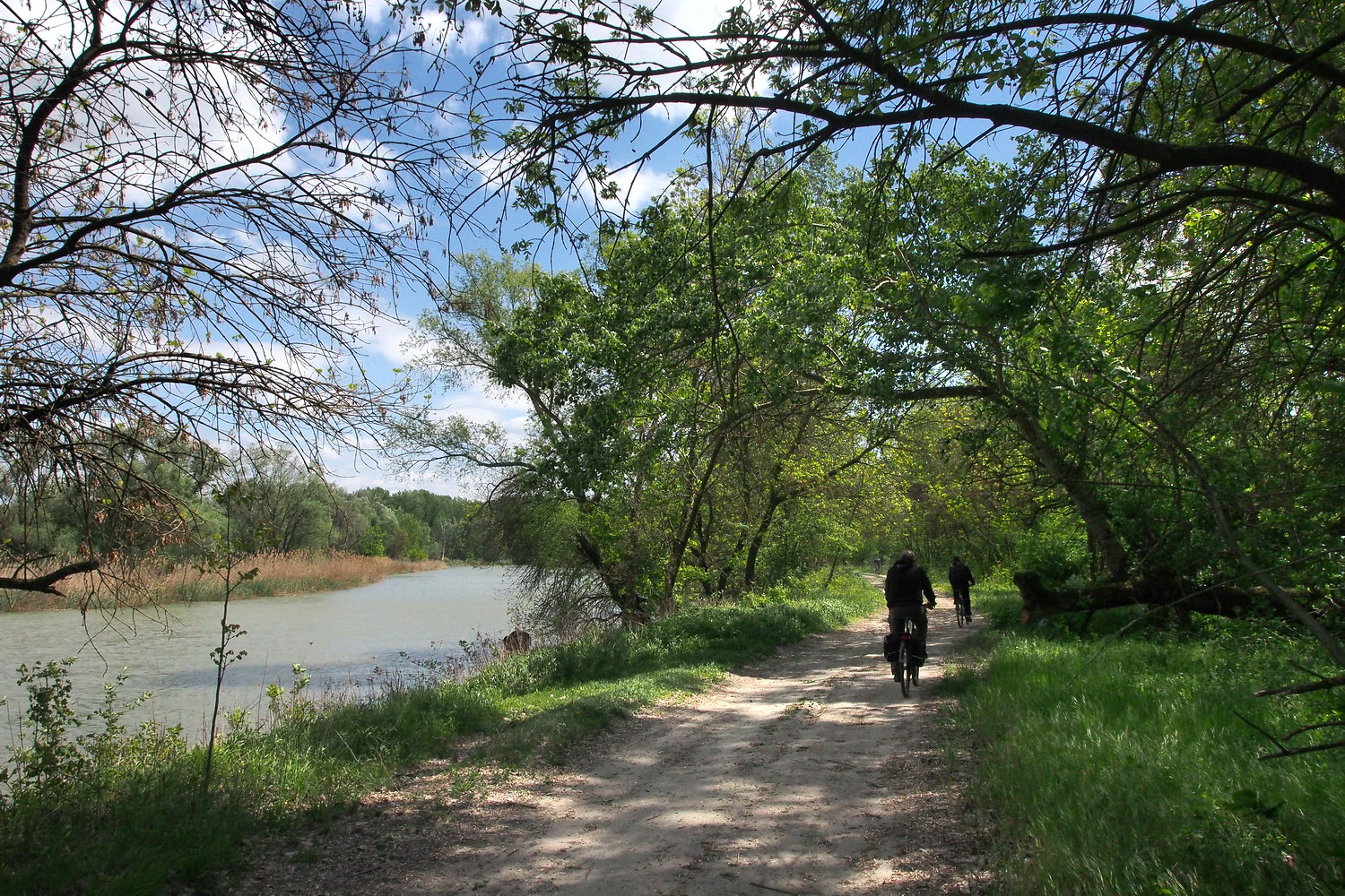
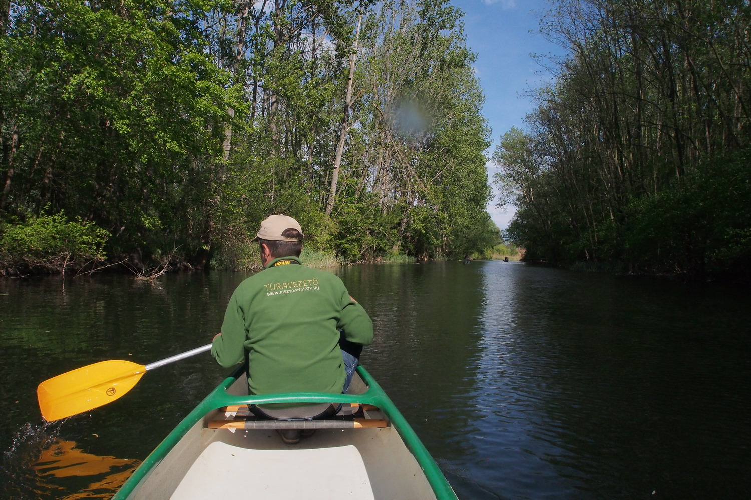
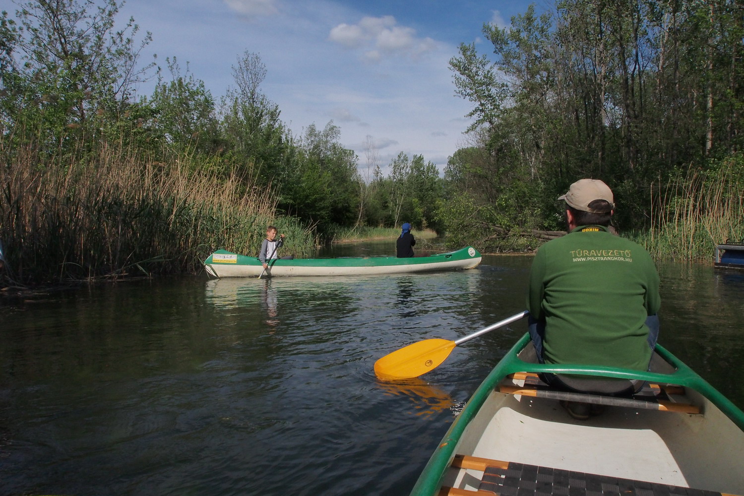
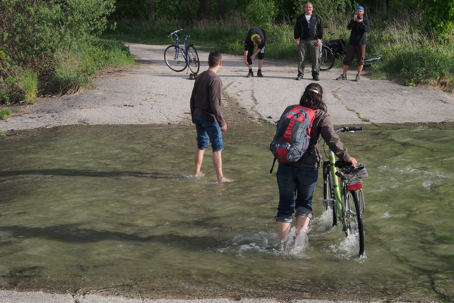
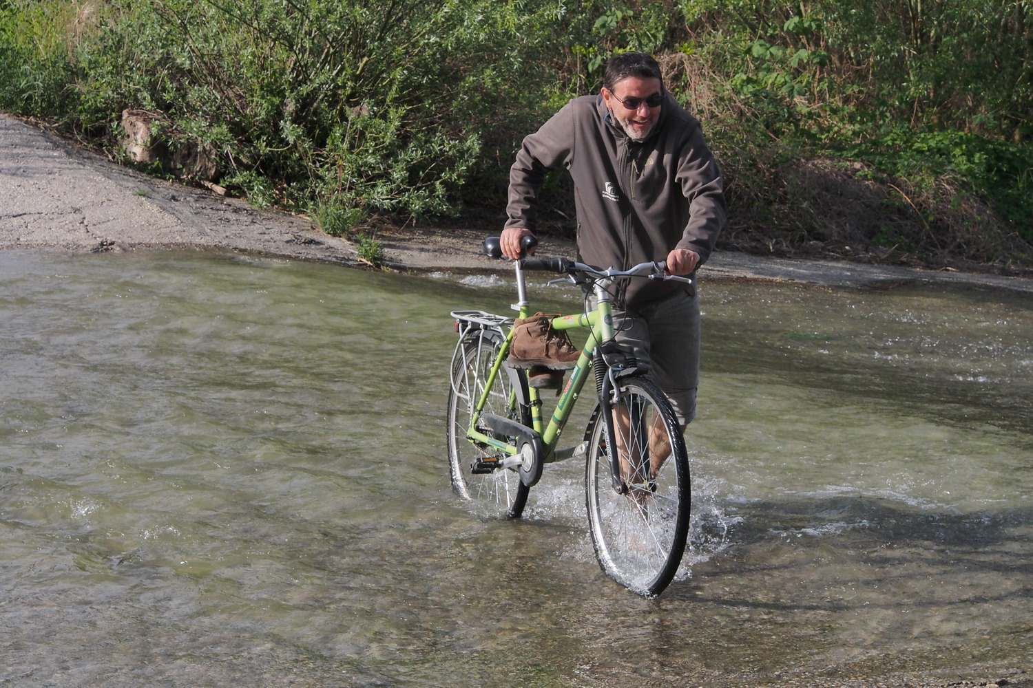
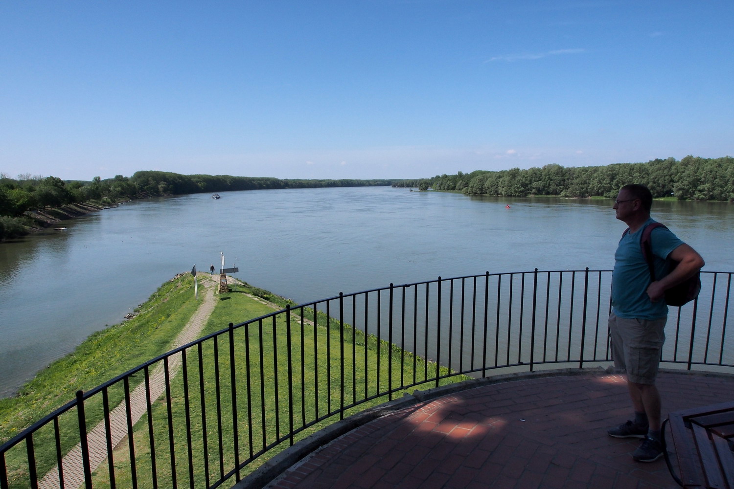
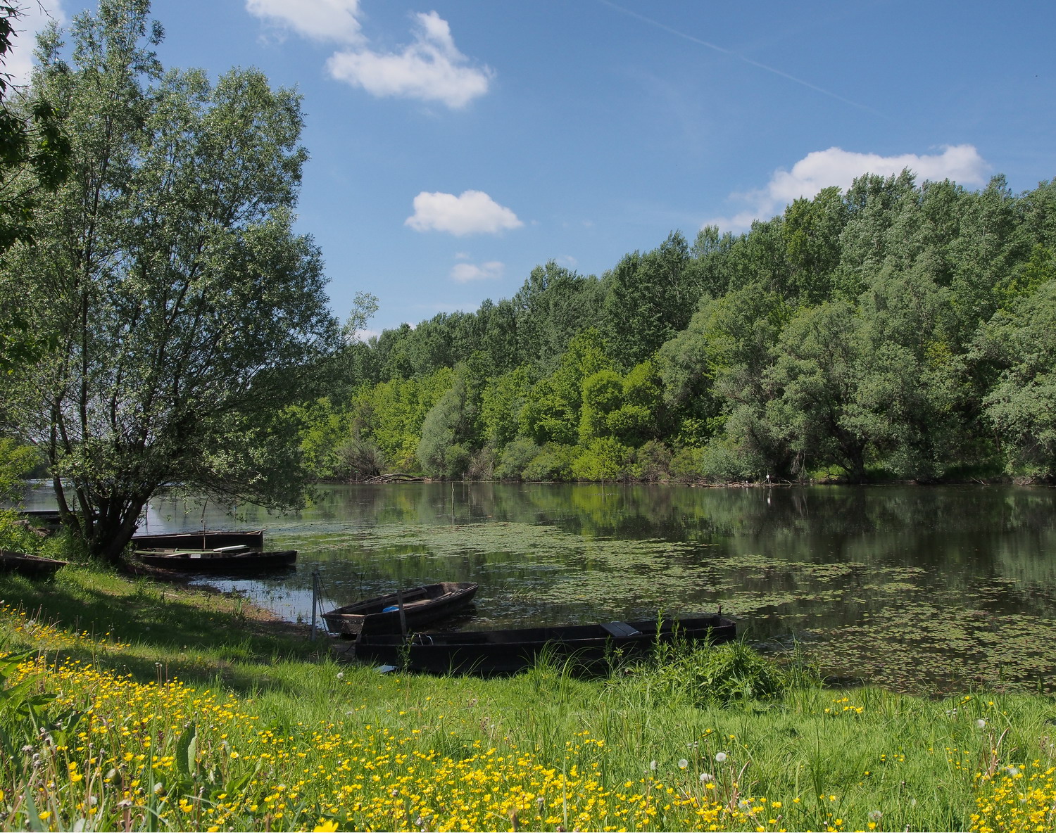
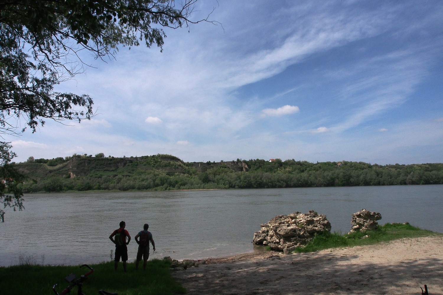
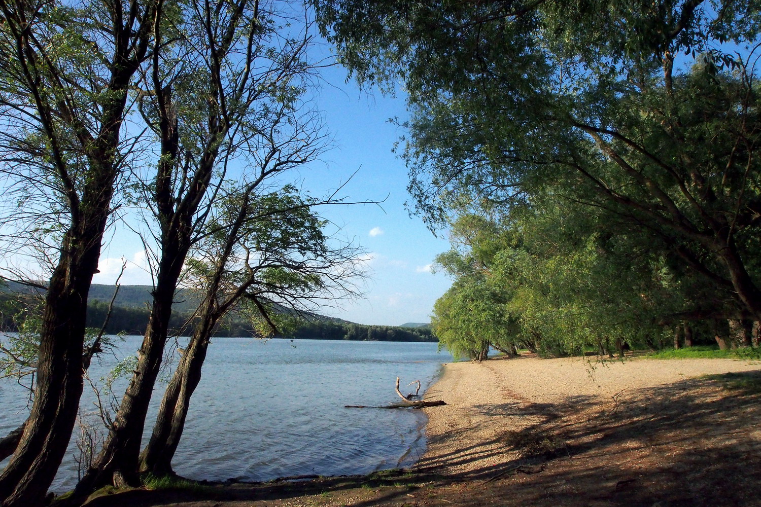
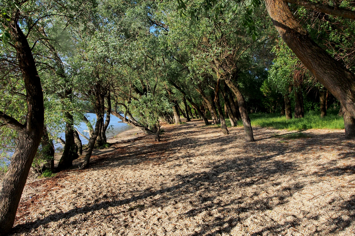
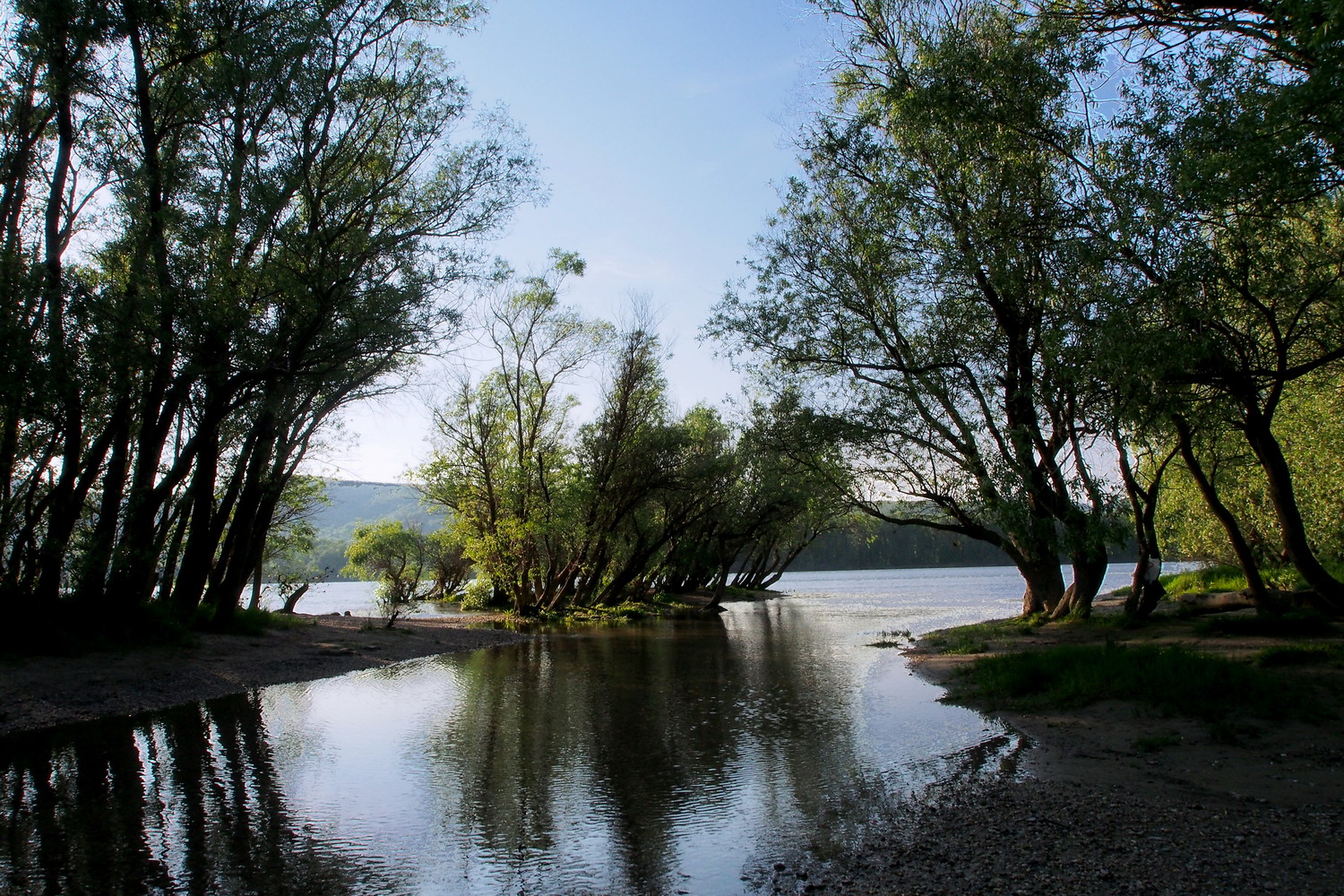
After cycling from Esztergom, past the former royal seat Visegrád and its impressive castle, I took a short boat ride to Kisoroszi - a small village at the western end of the Szentendrei island, right in the Danube Bend.

The plan was to meet Gergely again next morning for a cycling tour, but I decided to use the rest of this day to visit the western tip of the island: it looked promising on the map. And it was a lucky decision - those late afternoon hours turned to be among the most beautiful on the whole Danube trip. The late sun turned pebble shores into a gold mine with smooth, huge nuggets all around. And it was impossible to get enough of the picturesque panorama of riparian forest, permeated by shadows and shallow water, nor it was possible to leave it with a glad heart to the melting power of incoming nuances of the night.

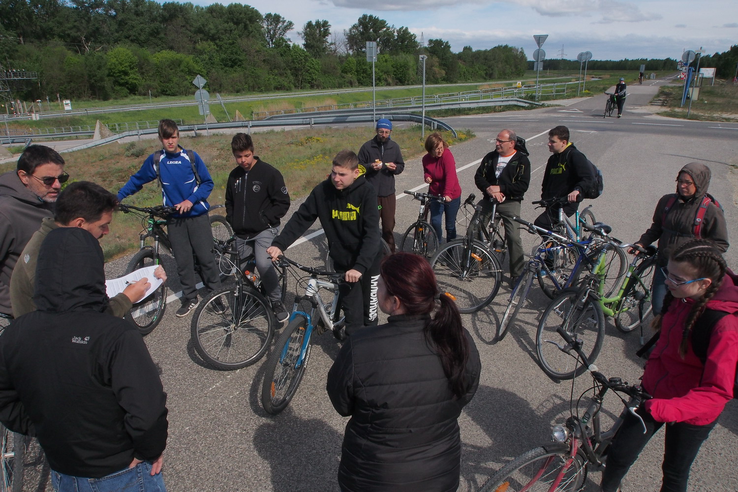
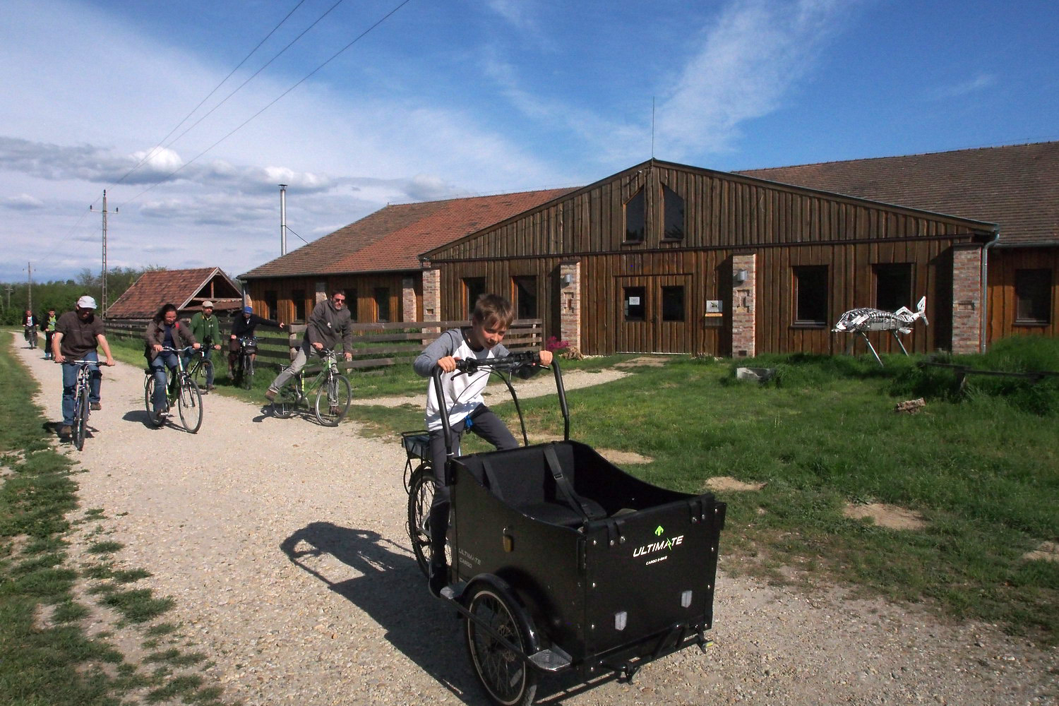
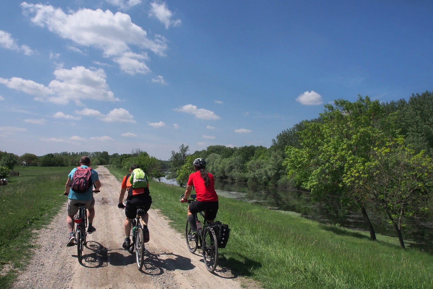
Next morning I rode to Tahitótfalu, a small town that is, like Budapest, very logically :) divided by the Danube to Tahi (the mainland part) and Tótfalu (the island part). Tótfalu and its sandy soil surroundings are famous for wines but maybe even more for growing strawberries.

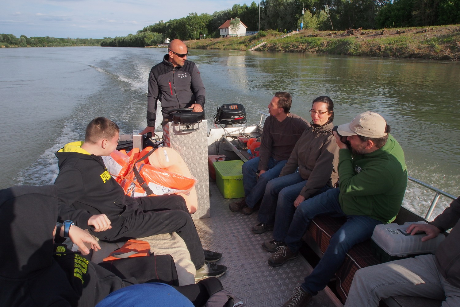
A small band for the island cycling experience included Gergely, the Park ranger Balázs Fehér, and Sasha Draskovic, a friend from Budapest.

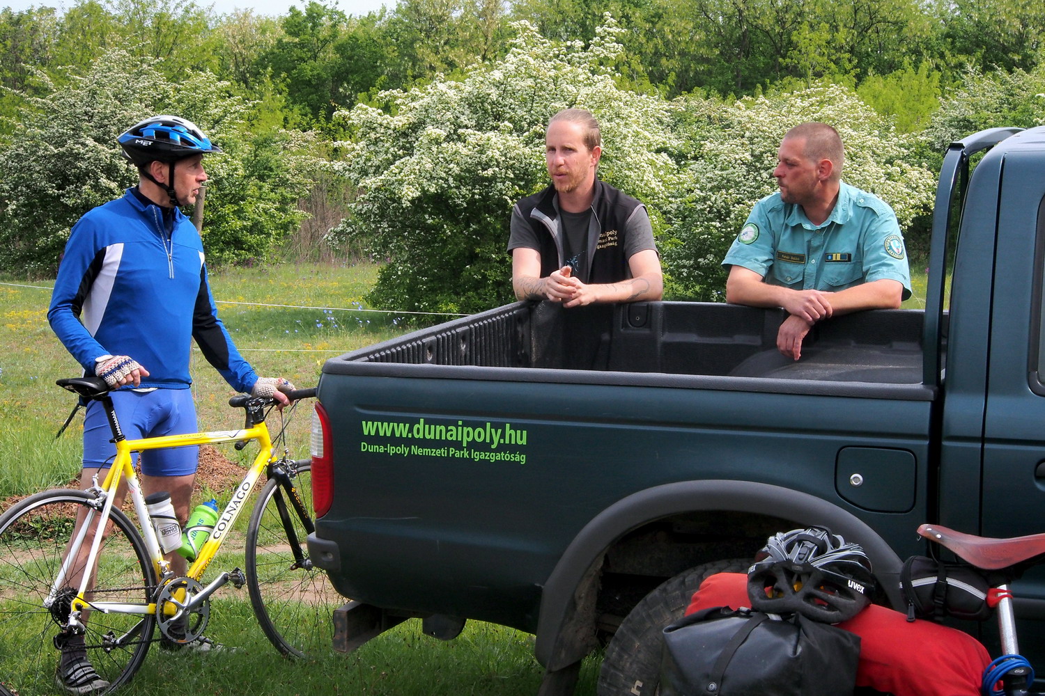
There are 30-35 rangers in the Danube–Ipoly NP but that is still far from enough, considering the Park’s size. So each ranger covers a huge space: Balázs, who works in the Park for six years, takes care of a territory that covers seven villages and has an area of - 60.000 ha (!) That is why his shift usually means a week or more of a constant presence in the field, and he doesn’t return home during this time.

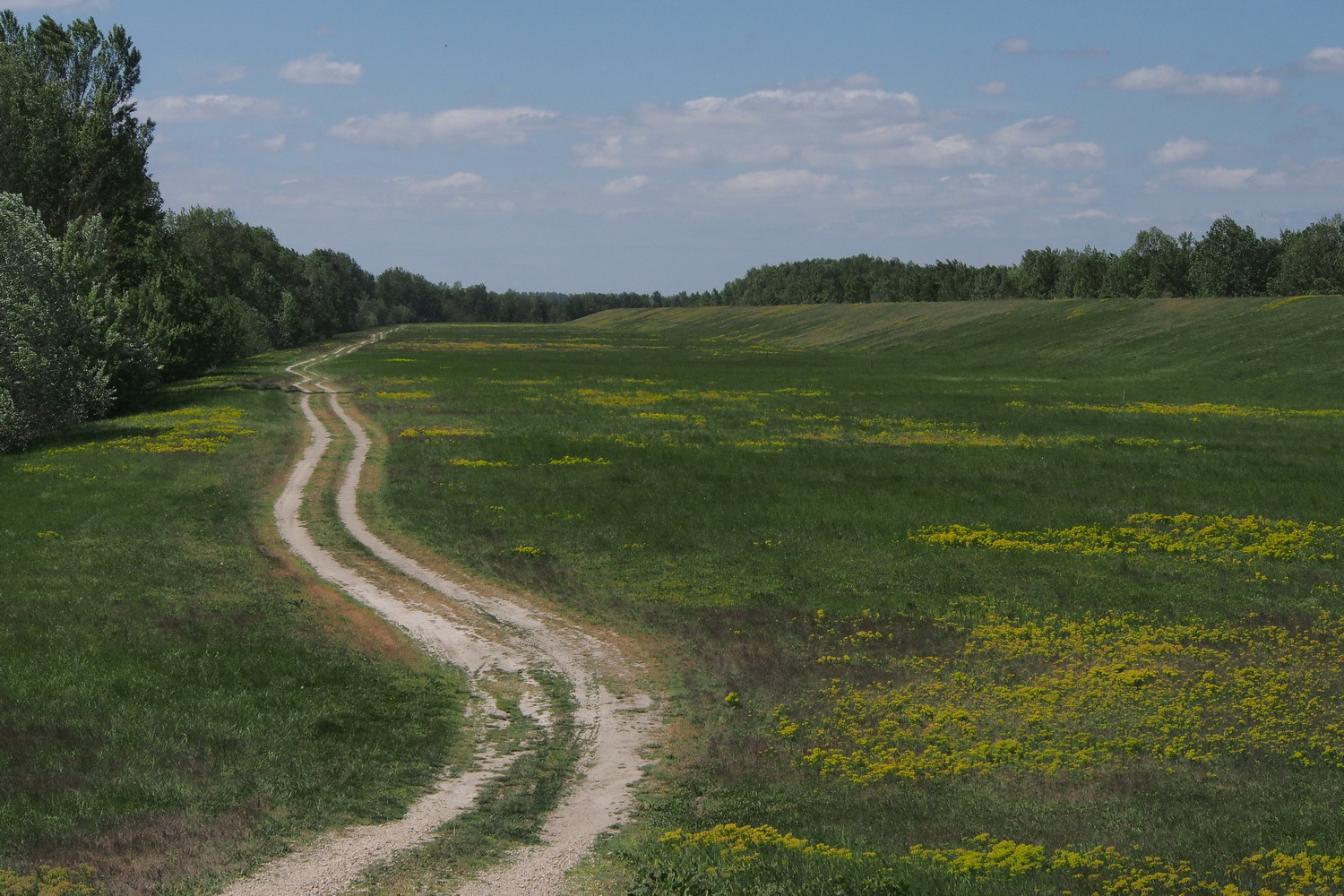
The first interesting thing to see on the island was one of its sandy zones, nowadays used for grazing. The fine sand here was covered with naturally grown bushes and shrubs. This was home for many protected plant species, including feather grass (Stipa borysthenica), a post-glacial relict and an endangered species.  “People used to pick it just because it looked nice and they wanted to take it home”, says Balázs, “But education helped to change that habit a lot.”

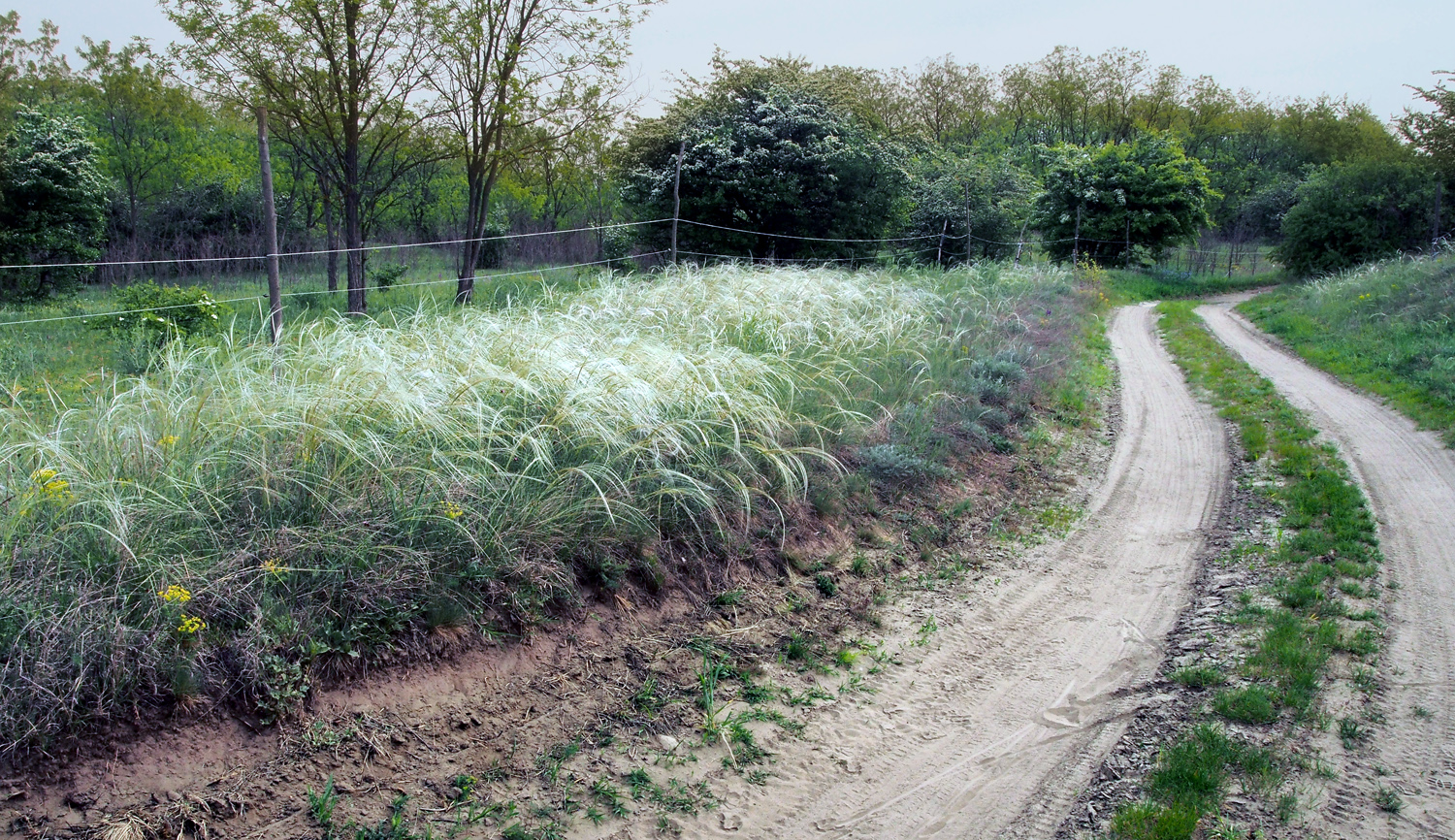
A landscape with the feather grass

Despite being close to densely inhabited areas, the island is not under pressure of illegal construction (unlike the hilly regions of the Park):

“We generally get on well with local people, there is sometimes just a lack of knowledge about the Park rules and regulations. For example, some don’t know that they must have a permit for grazing and haymaking. But this is a Natura 2000 zone and that entails certain conditions for human activities. Haymaking will start after orchids finish flowering – within a month, their flowers and leaves will disappear, leaving only underground tubers that will be safe from cutting tools or moving machines. Grazing begins in June, and it will be only horses. It is not that we specifically favour this sort of domestic animals - the situation is that the local person who uses these pastures keeps only horses”, explains Balázs.

The biggest wild animal in Hungary? Yes, the scale goes up to bears. Last year one entered the country from the Czech Republic (that is also where wolfs usually come from) and it was a big media news. The bear managed to go quite far southwards before being caught, marked with a tracking device and transported to the mountains in the north. But Hungarian forests are generally not big enough to provide the “full comfort” to a bear.

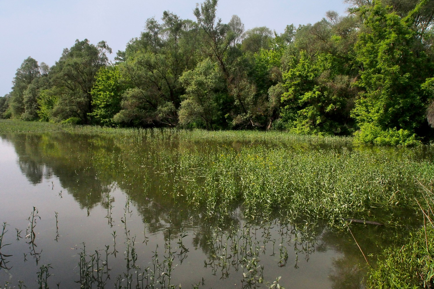
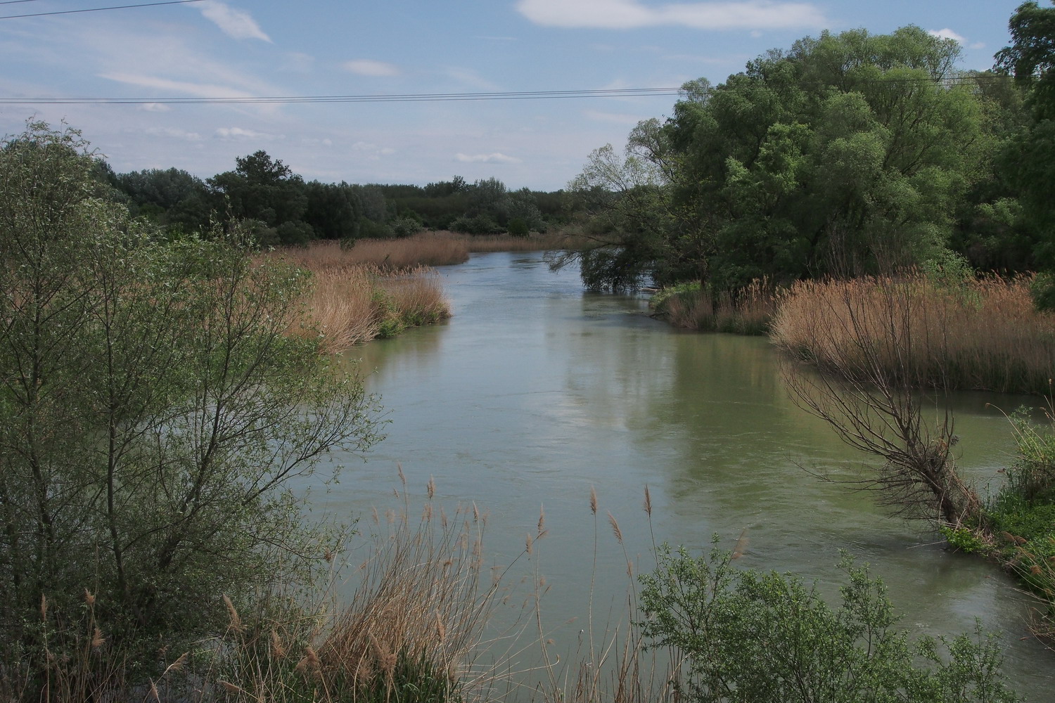
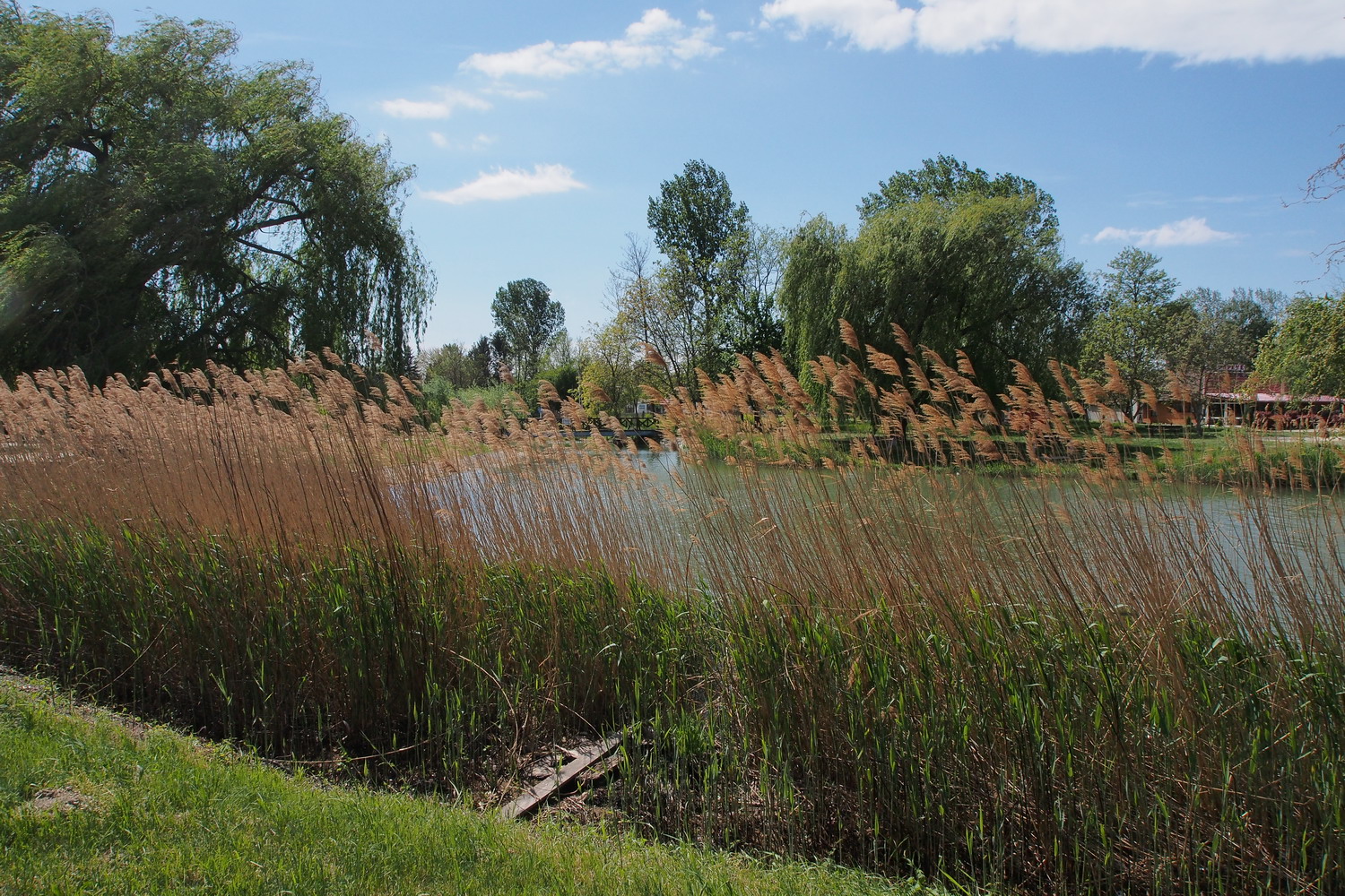
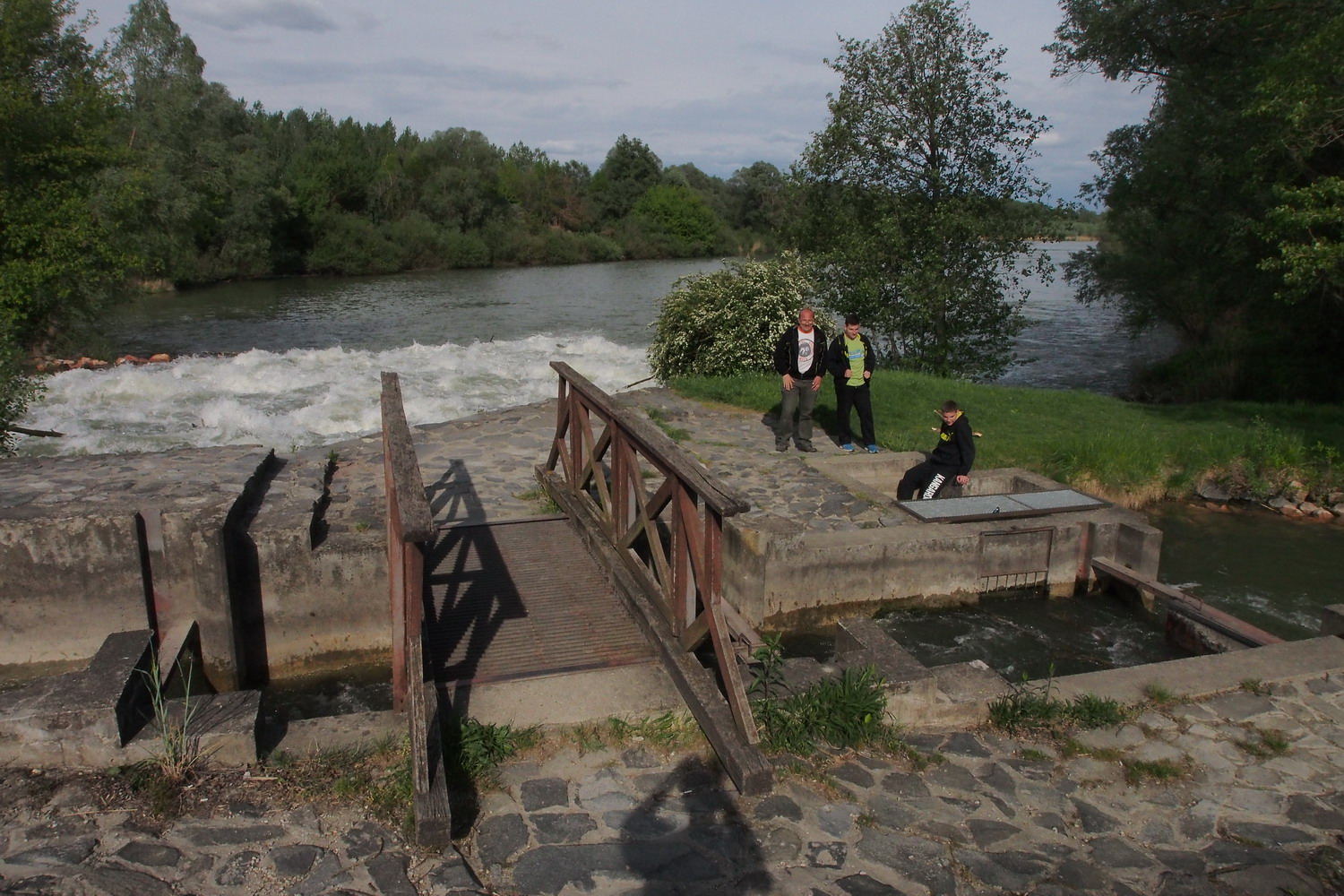
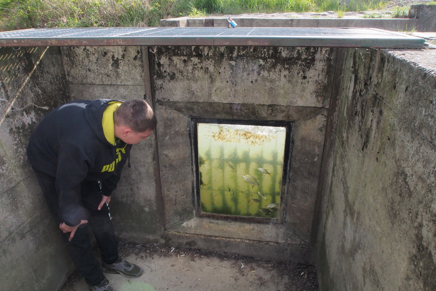
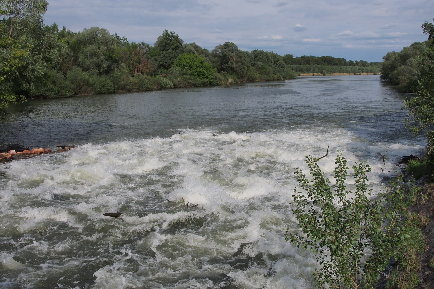
At an old branch of the Danube. This was an island and the river was flowing here before sedimentation closed the passage. Zones like this one are now very important for fish reproduction: there are species (carp for example) that spawn only in standing water.

There are a lot of invasive plants (pale green color on the photo) such as the Green Acer, that repress the original species, which is the major conservation problem on the island. Unfortunately, there is no efficient way to prevent this process. The approach with mechanization is very difficult, and clearing invasive plants wouldn’t help for long anyway – the Danube constantly brings new seeds.

The Szentendrei island is a very important source of drinking water for Budapest. This potential was discovered in the sixties of the last century, the land was nationalized soon after that and the arterial wells system that was built consists of hundreds of units. Each well is actually a vertical duct that goes 20-30m deep in the ground, and then there are thinner, 20-30m long horizontal side pipes that branch from the vertical duct. All wells are connected to a central collecting station with strong pumps that pull water from this arterial network. The water thus obtained is so clean that it does not need any processing, apart from adding a bit of chlorine to take care of eventual impurities in the city pipelines.

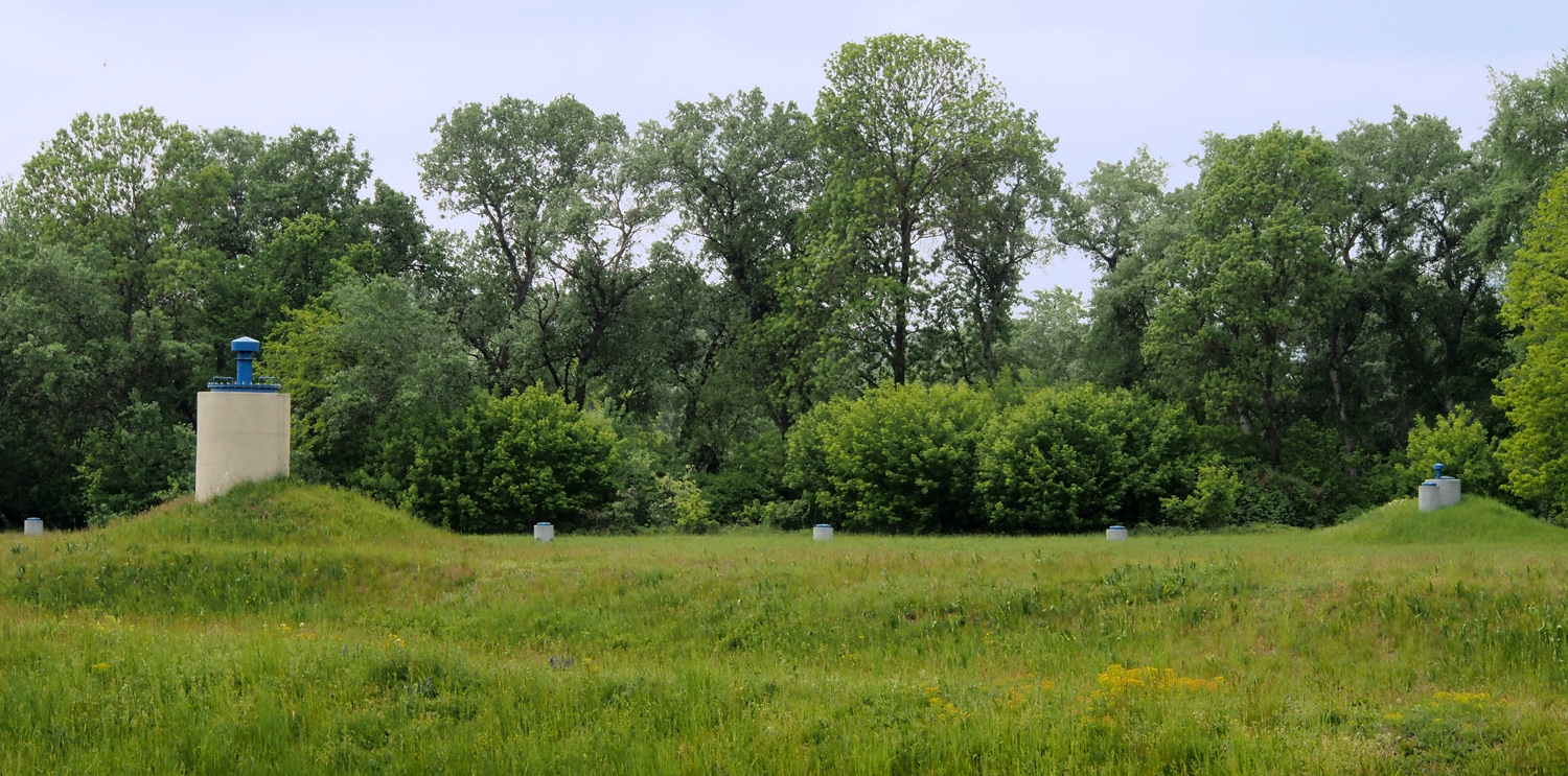
The arterial wells of Szentendrei island


Wells which are close to the Danube look like concrete submarines. They have  “bows” reinforced with metal, allowing them to break the ice that the river might push during winter.

There is a phrase “the boy is born before father” connected to the Autumn crocus (Colchicum autumnale) because it flowers first, then rests, and then makes leaves.

But there is another, very unpleasant characteristic of this plant: all its parts are deadly poisonous for humans, due to colchicine that it contains. This compound interferes with cell mitosis and is used for genetic research due to its huge impact on human cells - it stops their division. Symptoms are similar to those of arsenic poisoning, and no antidote is known.

And there is a theoretical line that could bring the plant to a human organism: if it is contained in the hay after mowing it could be consumed by cows, thus contaminating their milk.
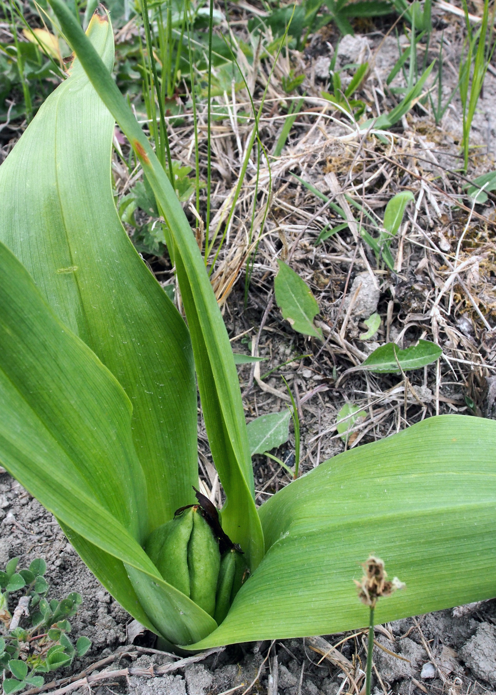
The Autumn crocus

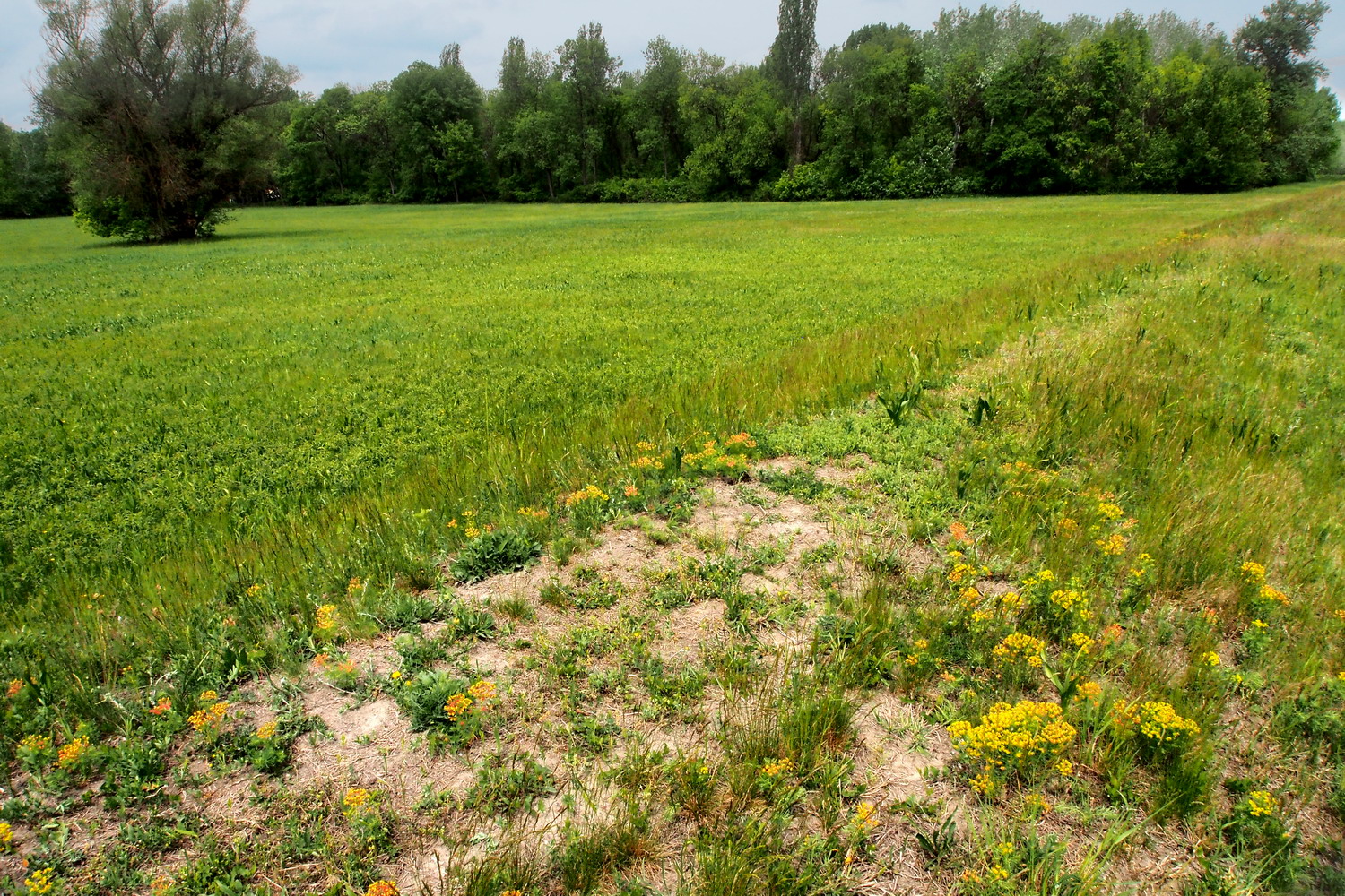
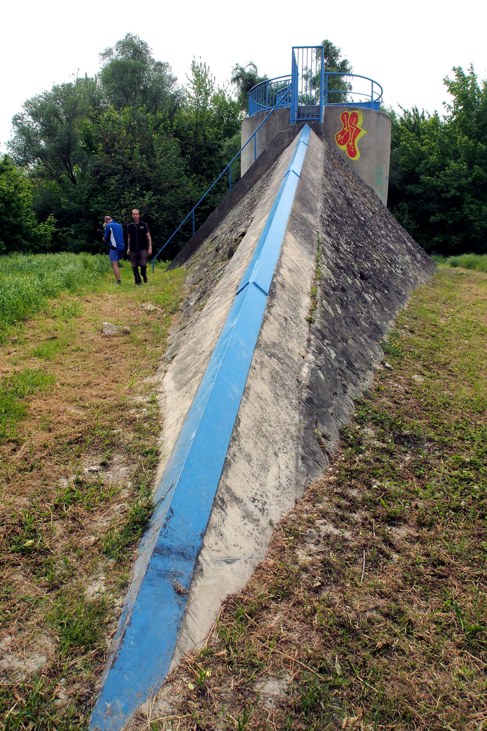
When 1.5 m of height makes all the difference: wetland below the dam and a half-desert habitat on its top.

The amount of plastic bottles in the Hungarian part of the Danube is decreasing. As for general pollution, the Danube cities are quite “friendly” while smaller rivers like the Tisza are a bigger problem. Budapest has a processing plant for wastewater, Szent Endre has its own, etc. (All these plants were built roughly 10 years ago after Hungary became an EU member.)

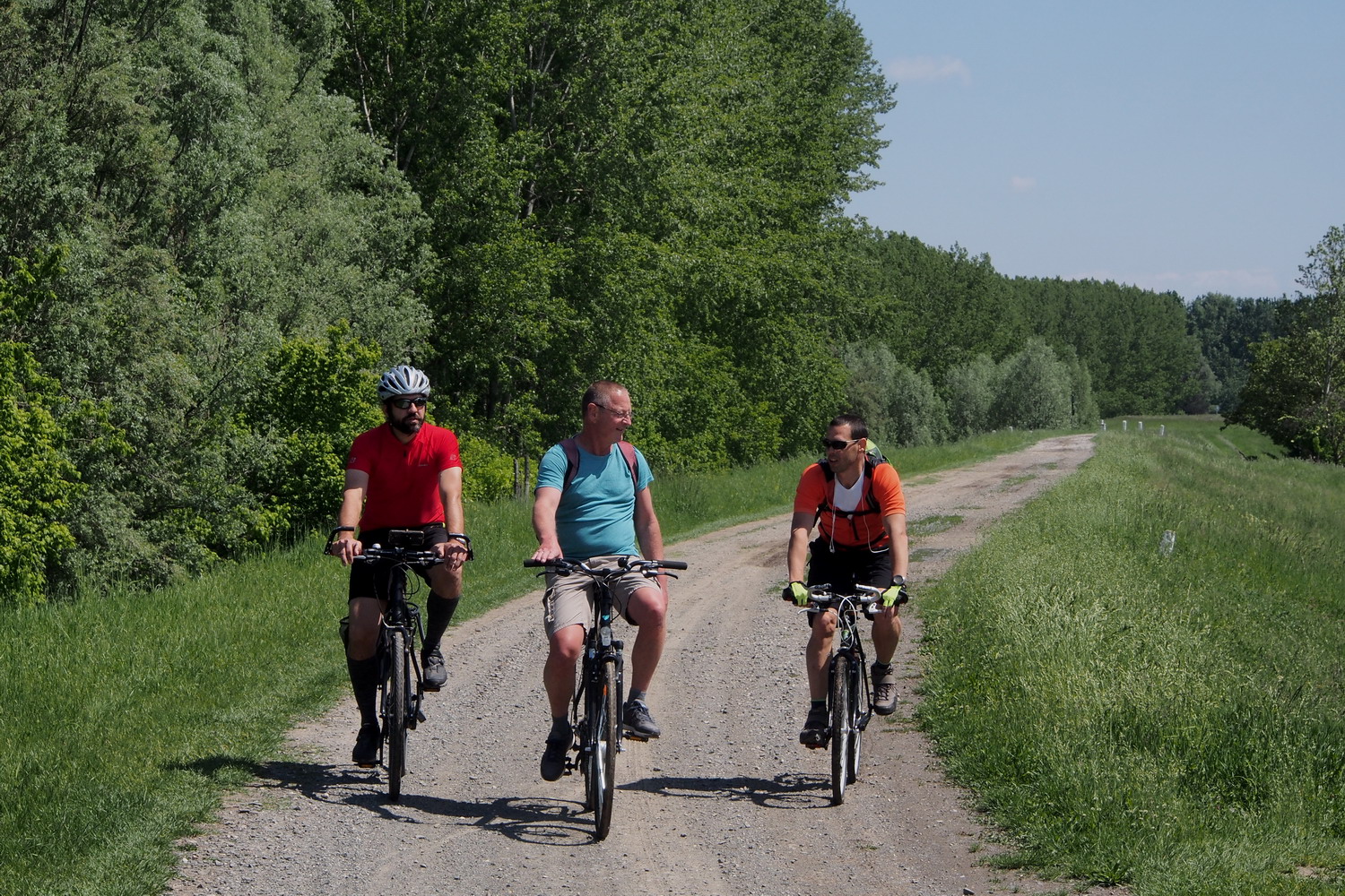
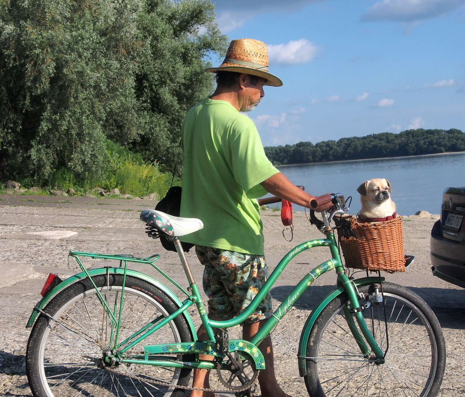
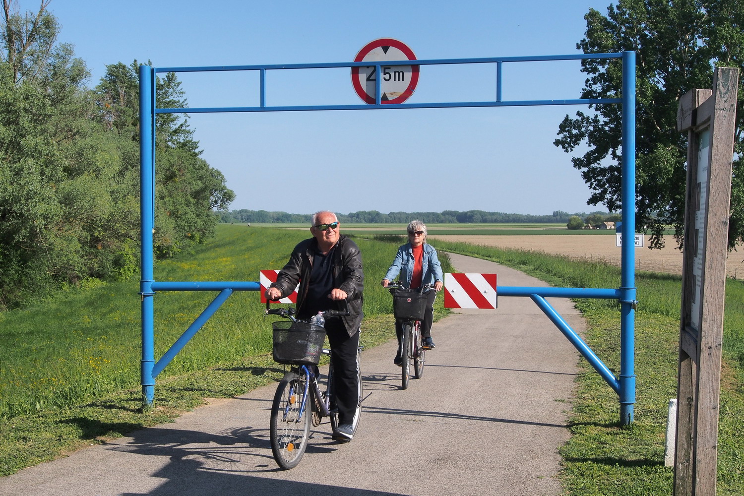
After informing me that the Park plans to build a large Visitor Center in Dömös, Gergely notes that cycle tourists who travel along the EuroVelo 6 practically don’t visit the Park. Which is really something to think about: it is necessary to specifically promote the Duna-Ipoly and other protected Danube areas both by European cyclist’s federation (who manages the EuroVelo routes), as well as by national EuroVelo coordinators.

The secret worlds of Budapest

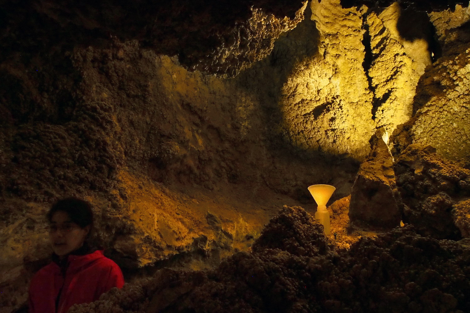
A series of highly surprising discoveries in the Hungarian capital started in Buda Hills: right in the middle of a densely inhabited area whose streets were dotted with nice upper-middle-class family homes, close to a city public transport station, right there, just like that… was the entrance to Szemlőhegyi cave.  Which sees 30-32,000 visitors per year. Just like that.

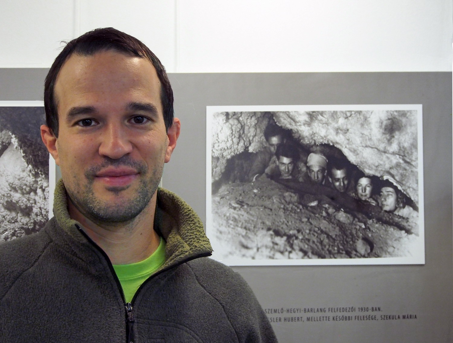
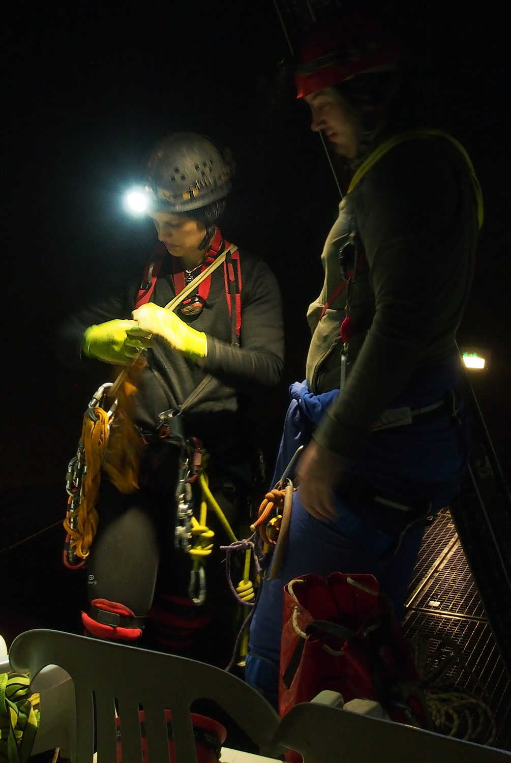
András Hegedüs, an NP employee and passionate speleologist, member of the Cave Rescue Hungaria and my host in the cave, looks young but he managed to pack in his pockets as much as 25 years of work experience. And his speleological history is even longer than that: he started early and chased caves in Hungary, France, Italy, USA, Romania, Montenegro, Serbia… (He greeted me with a nice basic Serbian vocabulary even on the phone, before we met.)

“The cave was discovered in 1930 and was opened for tourists in 1986. It is currently explored in a length of 2200 m and visitors can walk on about 250 meters of sidewalks and stairs. It underwent the last general reconstruction in 2013 when access was provided also for disabled people. The light system was improved in 2018, and since next year visitors will be able to watch 3D movies here.”

Being one of the most valuable natural treasures of Budapest and offering rich forms and ornaments, Szemlőhegyi is placed under increased protection. Such examples of pisolite precipitations and gypsum crystals are hard to find anywhere else in Europe.


Szemlőhegyi cave

No reflectors, no sidewalks, no stairs, no discrete music, no guides (and no entrance fee)

The clear and dust-free air of the cave offers a therapy to treat asthma and other respiratory organs problems: 2-3 hours a day / 2-3 times a week, with a doctor’s referral, and treatments are free. And while being there for medical or just tourist motives, one can see an exhibition showing the most important caves of the Buda Hills.

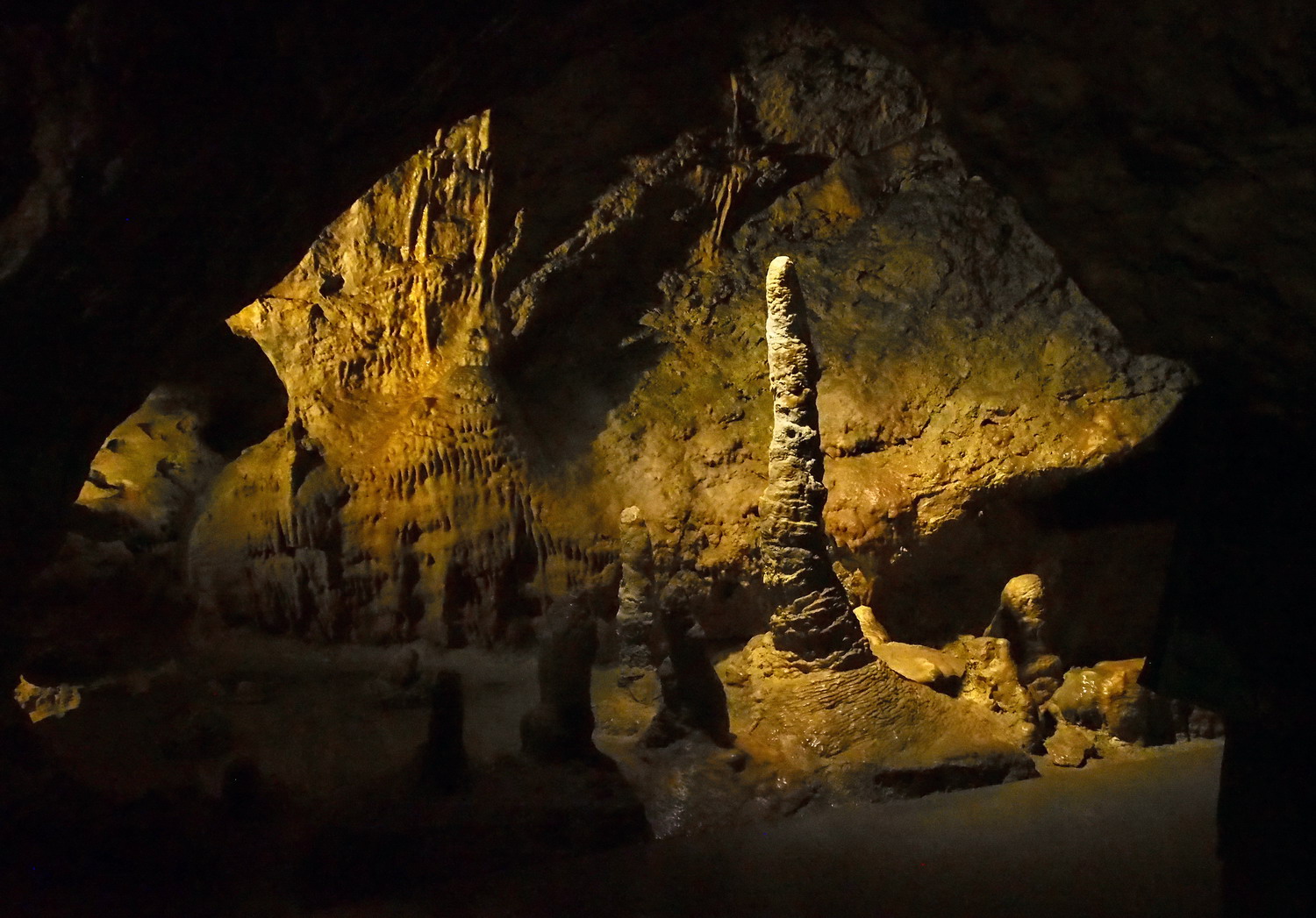
Caves, yes… There are more than 4000 of them in Hungary, and in Budapest, there are more than 150! Thus, not far from the Szemlőhegyi there was another one that sees as many visitors, but boasts the longest underground system of Hungary: Pál-völgyi cave channels are 33 kilometres long. And again, this unbelievable world exists right below the basements of a densely populated area of the Hungarian capital.

Pál-völgyi cave

Opened for visitors in 1990, the cave is famous for its unique dripstones and fossilized seashells and to András opinion it is the most beautiful cave in the Buda Hills. We walked a bit more than 300m, but there are tours for advanced cavers that are 3 km long.

The last surprise for Sasha and me was again just a short walk away: the upper part of the Sas-hegy (“Eagle Hill”, a  translation of the former German name, “Adlerberg”) is actually no less than - a Nature Reserve. A tiny island of pure nature at 257 m of altitude, surrounded by the sea of concrete and civilization, the patch of wilderness that lingers amongst the tall buildings, complete with a visitor centre, guided tours, limited movement of tourists and a custodian to take us around.

“Well, Budapest is one of the richest cities in Europe when it comes to nature. Its flora is characterized by endemic species and there are Eastern imperial eagles only 30 km far from the city, in the heart of the Duna-Ipoly National Park”, says our guide Gulyás Kis Czaba, palaeontologist and geologist, a local volunteer and supervisor in the Reserve. And he took us on a narrow, unbelievable trail that was twisting on the top of the hill between limestone and dolomite formations and flora and fauna dating from the glacier era - all this with a near-360 degree scenic view of absolutely all famous and important buildings of the pulsating metropolis below us.

The zone with Sas hill separated during the ice age. Before that, it was a part of a warmer climate zone that was following the line Dunav – Vardar (in Macedonia). It is known that the territory of Pest (and most of what is today Hungary) was a marchland at that time, but the type of vegetation is unclear since it changed over the last 5000 years. There is only a small wetland area left today in the Pest zone and there are still reptiles, amphibians and other species typical for wetlands.

The circular trail is about 2km long and connects all corners of the 12 ha large Reserve above the slopes where, after the Ottoman occupation, German colonists planted orchards and vineyards. Since 1940s building of family homes and villas started to endanger that green zone, but during the WW II many of them were destroyed, especially during the siege of Budapest in 1944-45. (There is one old bunker on the trail that nowadays hosts a seismic station. And the curiosity is that the station was the first to register the recent nuclear bomb test in North Korea, thus starting an international crisis.)

Then in 1958 the hill was placed under protection and became one of the first nature reserves of Hungary. It was, however, too late for other nearby hills - they were already covered with houses. Some species - like bird Monticola Saxatilis (Common Rock-thrush) have vanished. And even that first protection of the Sas Hill was not very strong: the really efficient protection regime started in 1970.

The Eagle Hill trail: nature with a bonus urban insight

Czaba Gulyás

The Sas Hill actually has two peaks and one of them is strictly protected, due to its valuable Alpine and Dolomites plant species. Today one can find here species that remained from the warmer period before the Ice Age, side by side with those from the Ice Age.

The most iconic plant of the Sas Hill is the silver grass (Pannonian Bluegrass, Sesleria Sadleriana), dating from the glacier era. It normally lives at the altitudes of 1600-1700 m, in the Alps and Carpathians. During the Ice Age, it moved far south and returned afterwards but here, due to the separation, it was isolated at the altitude of 250m and became endemic.

There are also almond trees which are typical Mediterranean plants, but they were planted at the time of vineyards and there are still some of them left. Twenty years ago all non-native trees planted before the establishment of the Reserve were removed and they now monitor the situation. After all this time the process has not yet been completed - more time is needed to return the habitat to its original, very different state.

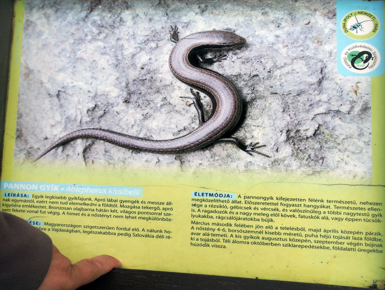
The snake-eyed lizard may be shy, but one can be sure to spot it on an information board

But there is another migratory species that come in large numbers: there were 2200 visitors in March of this year, while average annual visits reach 23,000. I asked Anna Vatai - teacher, local volunteer, and future manager of the Visitor Centre - is that too much for this relatively small area?
“We strictly control the movement of visitors while still offering them interesting programs to enjoy. For example, every May 10th we have ‘Birds and trees’ day for schools and kindergartens but it is a family program as well. To get back to the question: the most important thing is that the Sas Hill has been preserved when it was declared as a Natural Reserve, and its important species are now safe here.”

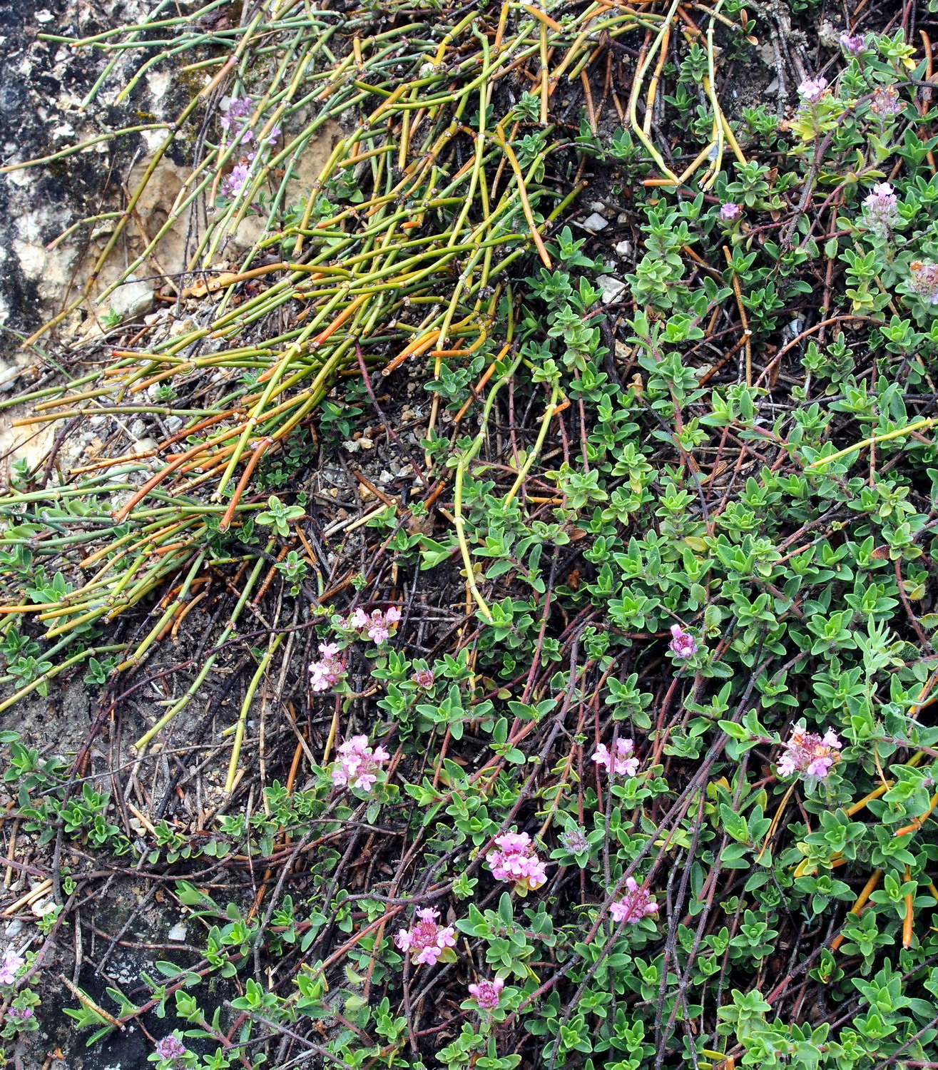
Csikófark (the joint-pine or Ephedra Dystachia) is a small Mediterranean shrub.

“The answer, my friend,
is blowing in the wind”
(Bob Dylan)

Now things become interesting: there are male and female plants. The ones in the Reserve are male while females, separated by the bitter destiny, reside on the Gellért Hill, one kilometre away as the crow flies. But even if they can never touch each other (poets would adore and use this a lot) the wind is their secret ally and courier that makes reproduction possible.

With Anna and Czaba, at the top of Sas Hill

The last DINP station: Protected area Great island of Racalmas

After a long cycling (and rainy) day across huge Csepel island, I came to a small bridge in Rácalmás village to meet with ranger Zoltán Kovács. We crossed the bridge to enter the Rácalmás island which is partially the National Park territory (4 ha) and Protected Area / Natura 2000 (356 ha).
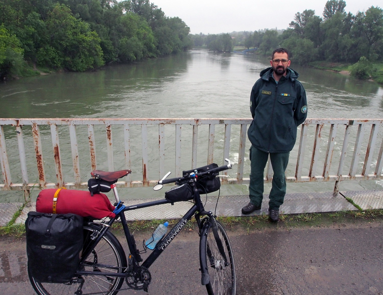
Zoltán Kovács

"There are four islands on a 100 km long stretch between Budapest and Rácalmás and two of them are protected as Natura 2000 areas. This one is the largest and serves as a model of an ancient island on this part of the Danube. Two hundred years ago there were fields and people lived here. Then, due to migration to the cities, the island was deserted and today is mostly covered with forest. In the northern part, between the island and the left bank of the Danube, there is a swamp, suitable for aquatic birds.”

The owner of the island is the state, while the user is a forest company. They work here for 50 years now and Zoltán sees their influence as useful: “Working with us as partners, they helped to replace non-native poplar trees with original sorts on 70% of the island.”

Most protected species are plants but valuable ones include birds as well. There is one pair of white-tail eagles in the south part. Being here for 20 years they are old-timers but there is even a new generation now, two youngsters. However, they will leave soon as the parents will not tolerate competition.
Wild boar, red deer and fox are permanent residents. But they are not in a perfect paradise here because the island is a seasonal hunting area. It is also flooded on average every two years, and at such periods the space for these animals is reduced to the west coast.

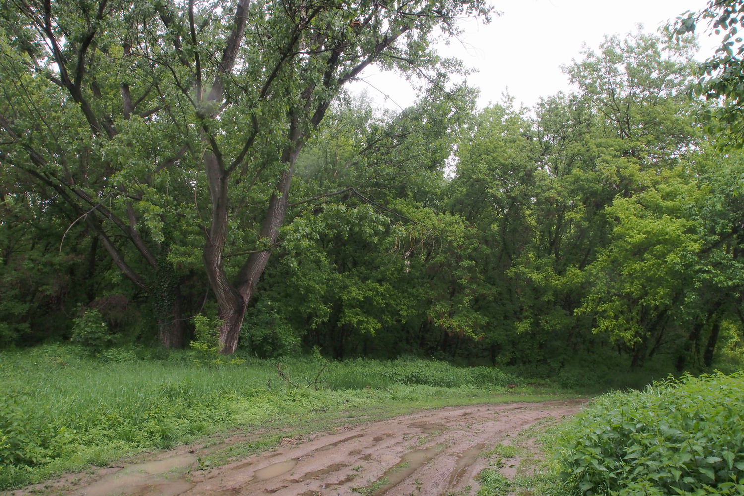
The whole island is opened for visitors and offers a 3 km long trail at its northern end, used for recreation and for children's education (with the help of rangers). During summer it is possible to cycle around the island perimeter, but after days of rain, we were not able to even walk much further from the bridge. 

On those 4 ha that belongs to the NP a small nursery garden was established, allowing for cultivating and research of various genotypes of black poplar:

“This was the original sort, but in the last 50 years, it seemed to disappear from Hungary. (It was not interesting for commercial use because it does not grow as fast as new hybrids, there are more side branches that make it harder to cut, and there was more waste during processing.) Then, within the DANUBEparksCONNECTED forest package, we had found the original black poplars here on the island and documented them by photographs and GPS points. We took genetic samples and sent them to appropriate institutes in order to successfully confirm that we have the right thing."

Thereafter, the LIFE program gave them a chance to establish another nursery with tens off different black poplar genotypes, while four hundred genotypes were collected along the Danube, in the territory of the NP.


I sailed through the great sunny morning to the Danube bridge in Baja, a nice town with 37,000 souls in Bács-Kiskun County, where I met three botanists and rangers from the Duna-Dráva National Park - my cycling buddies for the longish ride to Mohács.


And it wasn’t a straight way to there off course: how else would I be initiated into some secrets that usual tourists don’t see? So, we forgot Mohács for a while and started with a ride-along Sugovica arm, to a sharp headland with the monument of famous Baja son, István Türr. 

The monument of István Türr (1825-1908). Really a remarkable person of its own, he was a freedom fighter and revolutionary under Hungarian, Austrian and Italian flags, general of Garibaldi, governor of Napoli, diplomat and peace activist. And still found enough time in life to be a successful engineer and canal architect who planed navigable canals connecting the Danube and Tisza rivers, was one of the two main designers of the Corinth Canal and was deeply involved with the Panama Canal planning at its early stages.

Back to Baja, we crossed the Sugovica bridge to Petőfi island (Sugovica arm was actually the main Danube flow in the past). The island is a popular recreational and holiday area of the town, with a sports swimming pool, resorts and youth camps, many boathouses and places to rent kayaks or canoes.


The replica of an old floating mill

One more jump, via a modern and beautiful pedestrian-cycling bridge over Türr István cut, and we landed on the Great Pandurian Island (Pandúr-sziget).

Crossing Sugovica

The pedestrian-cycling bridge leading to Pandúr-sziget

The Black Poplar was on the lips of many people that I met on this trip. A botanical icon, a strong symbol of conservation and a usual wish in revitalization plans… But how to actually recognize it? Everyone seems to agree that genetic tests are the only sure way to tell it, but it also seems that in every protected area there is a special local receipt for that. (Or I just didn’t listen too carefully all the time? ;)

“The shape of Black Poplar differs from modern, American hybrid (Populus x euramericana or ’Noble’ poplar as we call it here) which has been planted in Hungary for the last 150 years. The Crown of the American type is more regular-shaped and its trunk is straighter (thus more convenient for cutting and that, together with the faster growth, makes it much more desirable for commercial use), while the Black Poplar has more ‘freestyle’ or ‘disorderly’ crown and trunk”, says botanist András Márkus while briskly turning pedals of his mountain bike: „And there is also the look of the cross-section, of the core of a young branch: if it has a pentagon shape it is not Hungarian but the American type. There is, however, the presence of genetic mixing, so the core method is not 100% reliable - that is why a genetic test is the best thing to do.“

In the shade of a Black Poplar

“As American or ‘Noble’ poplars grow fast they are cut for commercial purposes every 20-30 years, unlike former hybrids that were cut every 50 years. If left alone, a hybrid can live 80-100 years. As about the Black Poplar, if it grows alone and naturally its lifespan is 150 years, but if it was cultivated it can live 50-60 years.”, explains Tamás Schmidt, the park ranger.

Duna-Drava National Park was established in 1996. Most of its area (50,000 hectares, of which 19,000 ha are Ramsar wetlands) is located in one of Europe's largest and most natural floodplain ecosystem formed between the Danube, Drava and Sava rivers, on the Croatian and Serbian borders. The Danube is meandering here, carrying it's sand and silt sediment and over time forming new side branches.

The fauna and flora of the area is highly diverse, with many species: there are populations of Black stork and White-tailed eagle, Black Hawthorn and the Drava caddis fly (both endemic to the National Park range), seven invertebrate species are unique in Hungary, while Drava habitats host more than 400 protected plants and animals.


Since this region near the southern Hungarian border has been inhabited since the early Bronze Age, through the history people adapted their life to the floodplain, using its resources. Farmers traditionally used narrow, natural or artificial, canals (“foks”) to provide flooding of the inner land and to adapt it to their needs. Reed cutting, beekeeping, and grazing, canal management… also were the basis of the living here.


On the Pandúr-sziget

The protected species in this area of the Park are Black Stork, reptiles and amphibians. (And by the way, all reptile and amphibian species in Hungary are protected.)

In accordance with Hungarian regulations on flood protection, some zones have to be cleaned from lower vegetation, allowing water to flow faster during floods. However, from a botanical point of view, it is good to have lower plants growing between the trees in a poplar forest.

Rare and endangered. Should be declared as a protected species.

Duna-Dráva NP officers enjoying the patrol on two wheels:
 “A nice change in our usual working routine."

Nice, but hard to maintain...

Removing aggressive plants (pale green trees on the photo above) is a never-ending battle. The approach is usually not easy – and the Danube constantly brings new seeds anyway. (My hosts told me a nice story about the Szigetköz island that I visited some days before: during a flood that happened somewhere in the nineties of the last century, the Danube “stole” a huge amount of tomato seeds somewhere upstream and then unloaded most of it on the island. As a result, the Szigetköz was later covered with tomato plants for more than a year :)

This lavish canopy belongs to the Fraxinus angustifolia (the narrow-leafed ash), a typical tree of the Middle Danube region.

While approaching Mohács we passed the side-branch that bordered the eastern side of Szabadság-sziget (Liberty Island). In 1983 a rock-fill dam was constructed here with the aim to embed drinking water pipes (while ship traffic would continue in the main river branch). But the dam stopped the continuous water flow in the river bed and that triggered fast sedimentation. It became obvious that during the time the side-branch would completely silt up and the island - one of the valuable habitats in the Beda-Karapancsa region - would vanish into the river bank.

Rehabilitation of the Liberty Island

But thanks to the financial support of the EU LIFE+ program and to a cooperation of the public, NGO's and corporate partners, a rehabilitation project was carried out in the period of 2009-2013. The dam was opened and the sediment removed from it, while at the same time aggressive invasive tree species on the island were replaced with native ones. This not only saved the precious habitat but provided better drinking water quality and allowed local people to use the side-branch again for recreational purposes - canoeing and rowing.

Shadows – the rich harvest of these fields


Enjoying the view from the Danube dam

Here we see a micro-location that has been protected due to black storks nesting.
But that protection also saved poplars from regular cutting so they had a chance to live their full lifespan. Material for the embankment was dug in the forest, which left many small ponds that now prevent the approach of machines. The consequence of all this is that the zone is more natural and more diverse.

Remnants of the Roman fortification Burgus contra Florentiam in Dunafalva.
On the other bank, directly opposite the Burgus, was the Fort Florentia and together they were securing river crossing at the Roman frontier (Limes Pannonicus). But this is just a peaceful village beach nowadays.

Waiting for the Mohács ferry

Transporting goods (and souls) by the ferry.

With Eszter Buchert, talkin’ storks and other nice things

I said goodbye to the guys in Mohács and continued downstream through Baranya county, to the new house of the Duna-Dráva NP, on the outskirts of the village Kölked.

Vehicles that can enter the dam between Mohács and Kölked
are “filtered“ by a couple of these interesting gates.

On the Mohács-Kölked dam

The house was freshly built this spring, within an EU project. And that is where I met Mrs. Eszter Buchert.

“We currently use a small rented office in Mohács, and this house will finally - as its primary purpose - provide enough space for researchers. But our White Stork Museum is presently located in a former school of Kölked which does not belong to us - that’s why we plan to build another building next to this one and to move the museum here.”

There is a nice accommodation space in the house of the apartment type (and I happily used it overnight), but will it be open for tourists?

“No, the house will not compete with village capacities. The local people should realize that they can make a real income from agrotourism, so they certainly should benefit from our visitors as well, especially because this kind of cooperation with them is slowly developing. Accommodation is a problem (along the Drava it is even worse) and since 2010 only one household decided to offer pension service in the village.”

We went to Kölked to visit the White Stork Museum (Fehér Gólya Múzeum), created in 2001 by the Kölked municipality, with the support of the Duna-Drava NP Directorate. The museum exhibition educates visitors about various stork species, their life, and migration routes.

The White Stork Museum in Kölked

At the first place, why is there such a museum, unique in Hungary, exactly in this village?

"Kölked is a village of storks – even if it is a small one, there are 17 nests and storks are truly the citizens here, they are living with the village for centuries. Storks naturally live in forests and flood plains, but as such areas have been constantly reduced over time, white storks moved closer to settlements, discovering that they could find more food there and that humans are not a danger to them. (Other inhabitants can be a bit different story though: storks typically do not visit yards with dogs.) Black storks are more suspicious and they still like to live far from us.

Living with us, storks have learned to use opportunities. For example, during harvest time or when the grass is cut on fields, they go in front or behind machines, searching for bugs or mice.”

Where that legend of distributing and delivering babies comes from?

„Throughout the centuries most weddings happen in autumn when field jobs are finished and there is more free time. Accordingly, a lot of children are born in the spring, which is also the time when storks reappear, returning from the south.
But probably the most poetic explanation is the one that speaks about souls of yet unborn babies levitating in wetlands: when storks stroll around they luckily pick up a soul here and there, dropping it later (also luckily) on somebody's home. “


“The white storks in Kolked” – on this board at the museum entrance rangers regularly enter nesting time, and numbers of hatched hatchlings / flying chicks during the season.

Poetic it is… But it seems that we started this visit from the end instead of from the beginning - let’s talk about the group psychology and mental focus of storks?

“Um… let me give to you this concise guide to the Museum exhibition – you will find there a lot of interesting things about storks”

And here it is: More nuts and bolts of the white storks (as learned from the Museum guide)
Based on migration routes, the nesting population of storks in Europe can be divided into two groups:

  • Storks nesting west from the river Weser in Germany leave Europe through the Gibraltar Strait on their journey towards Africa and migrate to the north-eastern part of the continent. (10% of migrating storks)
  • Storks spending their breeding period east from the Weser river travel through the Bosporus and follow the Nile valley on their journey to their wintering sites further to the south on the continent. (90% of migrating storks)


  • Storks leave Hungary in August, or in the middle of September as the latest, and continue to glide 200-300 kilometres a day towards the south for 2-3 months, helped by warm air currents. They interrupt their journey at specific locations to rest and feed. At least 15 such places are known to exist on the Bosporus route. On the way back, the flight takes much less time, sometimes only 1.5 months, as storks are in a hurry to start breeding as soon as possible.
  • White storks return home in springtime, somewhere around March, and the male bird arrives first. He chooses the nest and starts to renovate it. And even the bird world is not immune to the material values in life: it is not the beauty of the male bird that attracts the female, but the nest that he is offering.
  • To additionally increase the comfort of life, storks rent the surplus space (the bottom parts of nests) to sparrows. These little tenants clean waste material.
  • In ancient times storks used to nest on cliffs, then turned towards treetops, later to roofs and chimneys, and recently have preferred electric power poles which now hold about 90% of stork nests in Hungary. Because these poles can be dangerous to the birds, electricity companies have been installing elevated nest platforms since the 1970s.

A diorama showing an early spring scene of the floodplain

  • Other preferred nesting places include water towers, church towers, and satellite receiver dishes.
  • White stork nests contain twigs, hay, straw, roots, and feathers. But technologically advanced materials are also used, such as bale strings or plastic bags.
  • The weigh of a nest can reach 50-100 kilos. The heaviest stork nest ever known weighed 2000 kg!
  • The female lays 4-5 eggs that are incubated for one month. The chicks need to grow fast during a short period of time and each day they consume the same amount of food as their own body weight. The parent birds regurgitate the prey into the middle of the nest from where the chicks help themselves. Only water is delivered bill-to-bill.
  • At the age of one month the young birds stand up, and by the time they are 2 months old, they are about to leave the nest. Young storks that already fly always return to the nest for the night.
  • The bill and feet of young birds are black. Then they gradually turn red as the bird becomes older - the older the bird, the more intensive red its bill and feet are.
  • Storks reach their maturity and start successfully breeding when they are 3-4 years old. Before that, they only have breeding attempts and travel around a lot. The oldest known stork that had been ringed lived for 19 years and was killed by electrocution. However, there is written information about a stork that is said to have lived for 70 years - this one was kept in captivity, with food and shelter always provided.
  • Hungary has two native species: the white stork and the black stork. Both are strictly protected.
  • Storks are mute. But they can emit sounds by repeatedly knocking together the upper and lower halves of their bills (“bill-clattering”). 

There is even one permanent member of the stork population in Kölked: the name of this girl is Pipacs (Pipach, i.e. "Poppy Flower").

Four years old now, she fell from the nest when she was fledgeling and since then was never able to fly. That's why she stays here all year long, and that is okay: what forces storks to migrate to the south are not low temperatures in the winter, but the lack of food at that time.

Since last year there is even a potential groom that comes to visit regularly, but she still refuses him: “Pipach probably doesn’t like that he is straying around quite a lot, being quite a Casanova”, smiles Eszter...


Pipach: no intention to try her wings

And all others that migrate… Where exactly do they go?

“Storks in our Park migrate to Victoria Lake in Africa. We know this thanks to a marking that began in 1908, first in Budapest area before spreading to other parts of the country.

Markers are aluminium rings with unique numbers, applied on the left foot of the bird. (Coloured rings are also widely used nowadays since these are simpler to read and identify. And for continuous tracking of the birds on their journeys, electronic transmitters are used.)

The number (or colour scheme) from the marker, with the recorded position of the bird, appears on the "BirdLife International” website whenever some of their associates and volunteers across Europe and Africa spot a bird with a marker.”

This panel shows migration routes of white storks. Kölked storks go to Lake Victoria.


What is a message sent by the model of the Kölked’s environment, what is the essence that the visitors should learn from it?

Kölked with its environment Beda-Karapancsa that is cut by the Danube
into two parts. The one on the left bank extends into Serbia.

“A deep and complete knowledge of a flooding area is necessary before attempting any changes in it, in order to be able to predict how that particular change would influence the whole system. For example, a certain change in water management can lead to draining ponds in the area, and that will form a long chain of other elements of the habitat. No ponds - no frogs? What will then happen with storks? If there are fewer storks to help regulate numbers of bugs and mice, will that reflect on agricultural results and food yields? Engineers and planners should not focus only on the technical side, they need to look at a complete picture.”

Any other activities and services of the museum that we should mention?

“We are very proud to have a regular painting contest for primary school children once a year. It is an already well-established tradition.

The Museum also offers a bike rental service. There is a choice of mountain bikes  - we believe that they are most suitable for this area - with different sizes, including those for children.”

Some of the works from the last contest


“Our rangers are not only professionals – all of them are huge enthusiasts in the first place.”
Eszter and the park ranger Zoltan Erdőfű

At the first moment I didn’t even notice this small strange thing at the corner of one of the museum dioramas, and later had to crop it from a larger photo.

Because I learned that this was the nest of the penduline tit. And the special thing about it is that the material is very soft and insulates extremely well – that was the reason why these nests were used to line children's footwear, instead of socks!


(But I can imagine that was a quite mindboggling thing for these poor little birds: don’t know how I would feel if returning home one day, only to see some Martian wearing my flat...)


***

We went to check the recommended route for cyclists that takes them deeper into the Béda-Karapancsa (Karapancsa = “Black water”) – the zone with most densely populated white-tailed eagle and black stork areas in Hungary.

The tranquillity of barely touched forests is also shared here by herons, egrets, and spoonbills. The shallow pools and water bodies serve as nurseries for the growing young fish and there is abundant food for these as well as for a multitude of other wading and water birds. Plants species are those of marsh meadows and pastures.

Hapsburg nobleman owned the entire region from here to Osijek in Croatia and to Bačka Palanka in Serbia. Agricultural land, fishing and hunting reserves… all that was private and closed for public, which helped to preserve Béda-Karapancsa.

The whole cycling route is 40 km long and can be done in one afternoon, but for the best experience it is recommended to take it slow – a full day or even to two days would be optimal.


There was a discrete fence below the dam that we used: “It protects young trees and fields from wild boars and red deer. Also from beavers, which were reintroduced in 1996 from Austrian National park Donau-Auen. There is a bit too much of them now…” says Eszter. Before this and other similar fences were implemented, the damage caused by animals amounted to more than 300,000 EUR per year.

Do you think about re-reintroducing beavers (let’s say a couple of hundreds of them) to the Donau-Auen?

“Beavers live maximally 50-100m from water”, educates me Zoltán politely about a different point, while giving me a strange look at the same time.

In the meantime, we passed by his fairytale-like house right in the middle of the forest. His family breeds domestic animals (pigs mostly) but also offers accommodation for tourists and guests - Zoltan’s wife usually guides them around. The old and nicely renovated house is rated by three sunflowers, proudly shown on the facade: there is a national system to classify agro-tourism capacities in Hungary, with a maximum of four sunflowers for top facilities.

Next was Lake Boki, a nice fishery and Visitors Point: “We organize four hours long tours for 10-40 persons, most often primary and high school students but there is also team building. Participants come from abroad as well and we even had a group from Portugal. Capacities are limited to 20 groups per year - each tour demands a lot of preparation work”, explains Eszter.


A collection of fisherman tools exhibited at Lake Boki

An old-fashioned, eco-friendly freezer.
Double, thickly insulated doors help to preserve the low temperature in the ice reservoir.


We reached the far and lonely part of the dam close to the borderline with Croatia (as indicated on our GPS devices, but also by a border police patrol that we met) when fence took a completely different look: it was no longer intended for animals but for illegal migrants.

But yet, animals are often its victims. Rangers often find here blood stains or traces of fur, or even dead roe deer – they get hurt or die while trying to leap over. “On top of all that, this fence can be quite easily resolved by humans”, grumbles Zoltán, “It is enough to throw over it a young trunk or a stronger branch, and than one can use it to walk over." (*)

(*) I wondered would it be appropriate to publicly mention this “recipe”, but it is actually quite unlikely that someone who risked his life and used all possible ways and tricks to reach this point, wouldn’t quickly come to the mentioned solution.


These countless, razor-sharp double blades will mercilessly cut everything that comes to them.

Including the enthusiasm for Europe without borders.

The perfectly nice paved dam continued towards the east, representing the shortest, and nicest way to cycle to Croatian town Batina. But that part will stay out of cyclists’ reach until Croatia enters Schengen zone. In the meantime, the EuroVelo 6 route goes to Batina by the main road from Mohács and via the official border crossing Udvar.

The Lábasház  ( “House on legs”). This former control station for the Iron Curtain now belongs to the city of Mohács and offers accommodation for 50 persons. Not very far from here, there is a canoe station established by the NP ten years ago. It offers paddling experience for as much as 45 people (the canoes are dimensioned for 4 to 7 persons). Tours take 1.5-3h and participants arrive here by bus.


This magnificent and obviously expensive bicycle station right below the dam, offers showers, kitchen, and a large covered space. It was built in the frame of a Hungary-Croatia IPA cross-border project, co-financed by the European Union. But it is located in the fenced courtyard of a Southern Transdanubian Water Directorate (with the head office in Pécs) and an info-board at the entrance explains (only in Hungarian) that the station is intended “for organized bicycle groups, and only with previous announcement one week before arrival.” As that looks a bit complicated and the number of requirements is probably low (close to zero?), the Directorate officials are unwillingly forced to use the station as a holiday escape for themselves and their families.

***

Talking with Eszter, part two: history and nature conservation nicely going with each other

My last visit to the Duna-Dráva National Park was to the Mohács Battle Memorial. The battle took place in 1526 and it was fought between the forces of the Kingdom of Hungary (25,000 to 30,000 soldiers led by King Louis II) and the forces of Ottoman Empire (50,000 to 100.000 soldiers led by Sultan Suleiman the Magnificent). It marked the end of the Middle Ages in Hungary, and by its consequences was one of the most important events in Central European history. Hungarians were defeated, with a death toll of 14,000 to 18,000 and Louis II among them. (He died in a peculiar accident while leaving the battlefield: after being thrown from his horse in a river and drowned, weighed down by his heavy armour). That ended the Jagiellonian dynasty in Hungary/Bohemia while its legitimacy has been transferred to Habsburgs. The Kingdom of Hungary was split between the Habsburg Monarchy, the Ottoman Empire, and the Principality of Transylvania.

Several kilometres south of Mohács we turned left from the road to Udvar border cross and just before village Sátorhely (“The space for tents” – this name probably also came from the time of the battle?) we stopped in front of an isolated building with interesting architecture. “It symbolizes the Hungarian crown”, explains Eszter. 

“The exact place of the battle was not known, despite some excavations that took place in 1961. And then in 1970, some bones came out to the surface during field works. People from the area collected them and preserved them from stealing.


The zone was soon declared as a Protected Area and the memorial park was constructed over the medieval graves - the last resting-place of more than 1700 soldiers. It was at first managed by a local Tourist organization and then by the Water managing company. Our National park was established in 1996 and since then it also manages the Memorial complex.


The main building with Visitors Centre and exhibition space was constructed in 2011, which was made possible by a large EU funded project. In the beginning, the Memorial had the status of a historical monument, but it was later declared as a National Monument, one of thirteen that we have in Hungary.“

It seems that the strong historical background also helped to protect the nature here?


“This was actually the only way to permanently protect the zone.”


Each and every element in the complex, even the smallest ones, bears a special meaning.  Above. the three parts of this marble flower symbolize the split of Hungary after the Mohacs Battle. But there is water that flows in the gaps between them: that is a symbol of Christianity as the force that will connect the country again.

Below: the battlefield is represented by a huge circular lawn with concentric circular paths which represent the continuous wandering of human beings through pain and suffering. But out of these paths, at the farthest part of the battlefield, there is a large cross - the only way to break circles and to end the wandering.

Even this breach in the forest surrounding the battlefield is not accidental:
it marks the direction from which the Ottoman army came.

We were there on a bad, rainy afternoon so the place was empty. And I can’t imagine any other chance to hear a feeble reverberation of what was happening here on that day, ages ago. Because it was the silence of the field, sown with these strange, distorted wooden sculptures, that brought to us the terrible noise of the battle. The fear and suffering of the dying horses who, in their last power, are vainly trying to resist the blood-soaked soil that pulls them in. The screaming of steel. The hard sighs of flesh that accepts its fate. The quick flashes of heroism and cowardice, most of them not seen or remembered because everyone is busy with either killing or dying.  Figures of Louis and Suleiman, deeply wrapped in their roles. And after the battle - a lone mother searching for her sons.


There is a small wooden belfry where you can pull the rope and swing the bell while thinking of the dead. If there is a sound all these memories are not yours, and you are alive.

***

(after a while)

Going around here was a strong and touching experience. And we could say that people should visit the Memorial and feel it for themselves. But speaking of visitors, do you see cycle tourists here?

“Actually not. And when we ask those who travel along the EuroVelo 6 why is that, the typical answer is that they didn’t know about the Memorial. There is no enough information about it in cycle tourism circles and it is especially missing in the European cyclists’ federation online media which is, of course, the most consulted source when planning or travelling along the EuroVelo routes.“

The main building – this is where the Visitors Centre and the exhibition are.

Among other things, the exhibition reconstructs some scenes from the battle.
Here, local peasants are finding the body of Luis II

The war equipment of Hungarian and Turkish soldiers is also shown


For a bit more personal picture at the end... I see that you are passionate about your job and about the National park in general. How long do you work here?

“After my Biology and German studies and after a career as a secondary school teacher, I came to the NP in 1998. In the beginning, I was working on monitoring species and habitats, but from 2004 my focus went to eco-tourism and nature education. I made a concept for opening the Park to the society, then was part of the management during the (huge) Memorial Center project and worked on the concept of the Memorial centre building and as well as on the Visitors guiding concept. The results of these last activities made me especially happy.


But are there things that make your work harder than it should be?

“There is always something. Until 2010 we had separate Ministry for environment and nature conservation, with its own secretary. But it was then merged into a department of the Ministry of agriculture, despite the fact that the basic interest of such a ministry is not compatible (and actually often threatens) nature conservation. And even that was not the end: a bit later, 40% of employees from the department for nature conservation were fired. That makes efficient supervision of plans, projects, and actions of the agriculture industry very difficult, if not completely impossible.

All that at the same time when – as stated at the Paris Biodiversity conference – current number of  endangered species is one million, and we get a clear message that our world has a chance only if industry and economy worldwide change and adapt right now, without delay.”
 

The DanubeParksConnected experience?

“Through that project, I became really aware of various cultures, different lifestyles along the Danube, aware that there are different backgrounds and history... But also that the Danube is powerful enough to glue all this variety into one unit – the river is the core of that connection.

During our sub-projects, I had a chance to visit almost all the partners and felt that our personal contact has been constantly developed and improved and that a very good team was formed. (While saying this I can't help but to particularly remember of the Donau-Auen people, Georg Frank, and ex-director Carl Manzano, who motivated everyone with their passion and charisma.) After so many years we know each other very well, I mean even personally: when you need something, you can write or call ... but when you actually have met the person on the other side and you know his or her face and gestures, that's more than a formal electronic link. We are a bit like a large family and that makes our network more prepared for even more ambitious ventures in the future. And this is not something that is routinely achieved: while participating in some other international projects, I sometimes miss the special atmosphere that we have here.

Hitting the long & lonely road again…
These beautiful sycamores were the best farewell to me from the Danube-Drava National Park :)


Programme co-funded by European Union funds (ERDF, IPA, ENI)