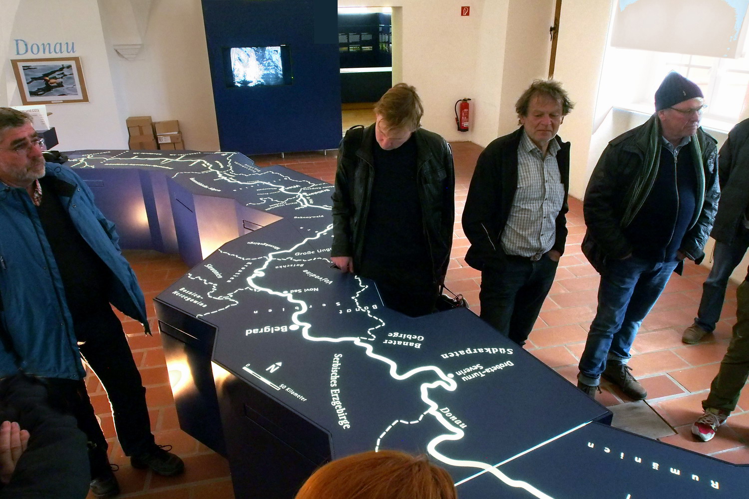
|
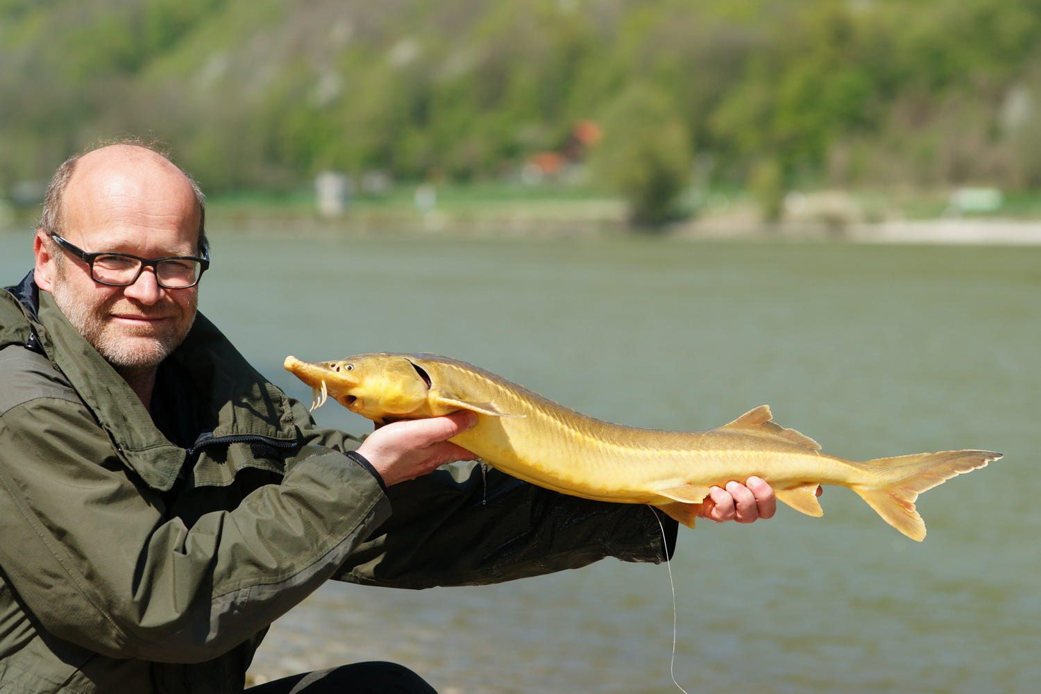
With one Autochthonous Acipenser ruthenus (Danube sturgeon) from Engelhartszell
Photo: G. Zauner
Story and Photos by Jovan Eraković
A very sedimental talk with Mr. Gerald Zauner.
Plus: an ecological fairy-tale that turned to reality.
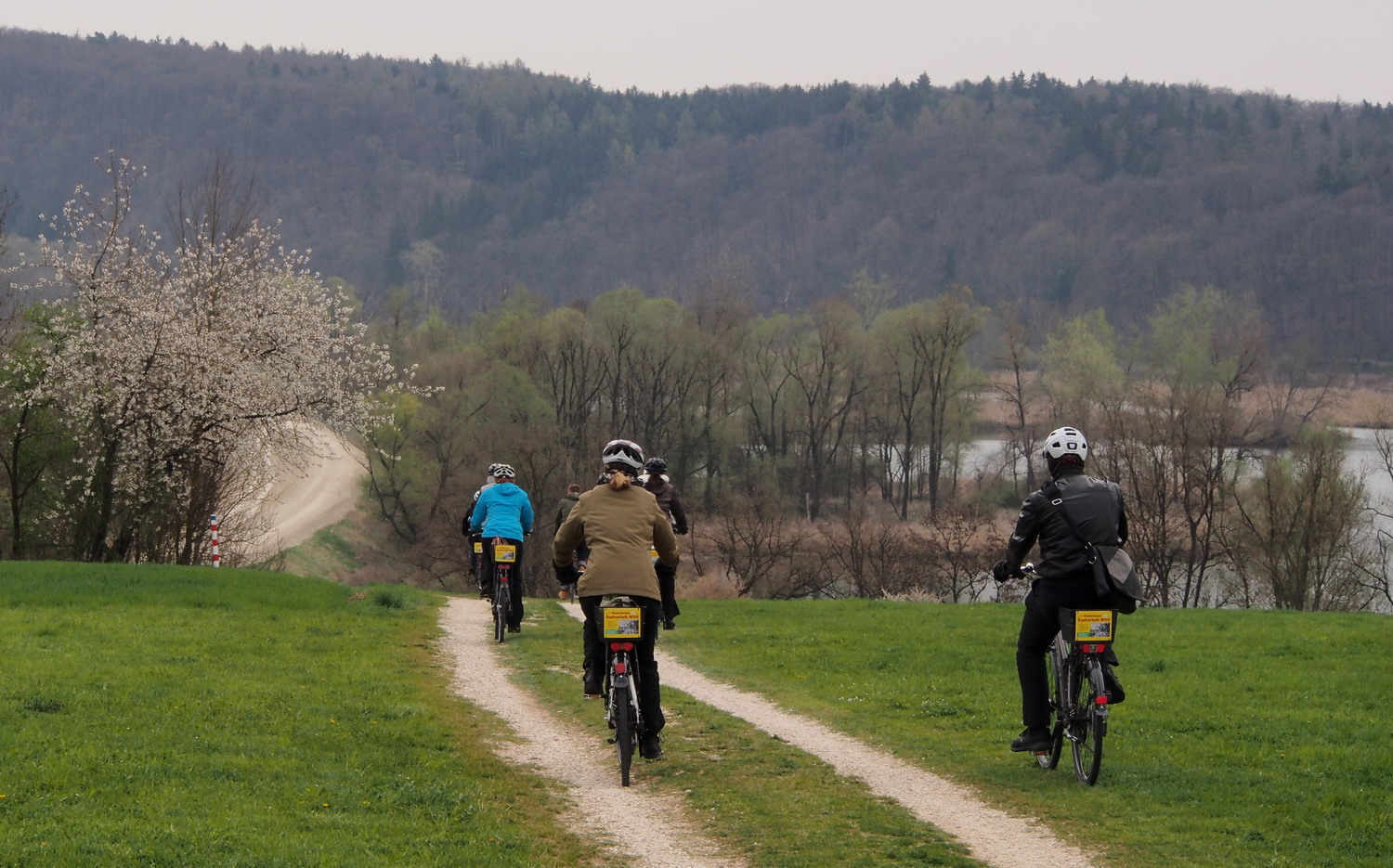
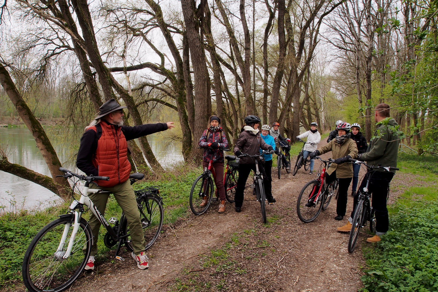
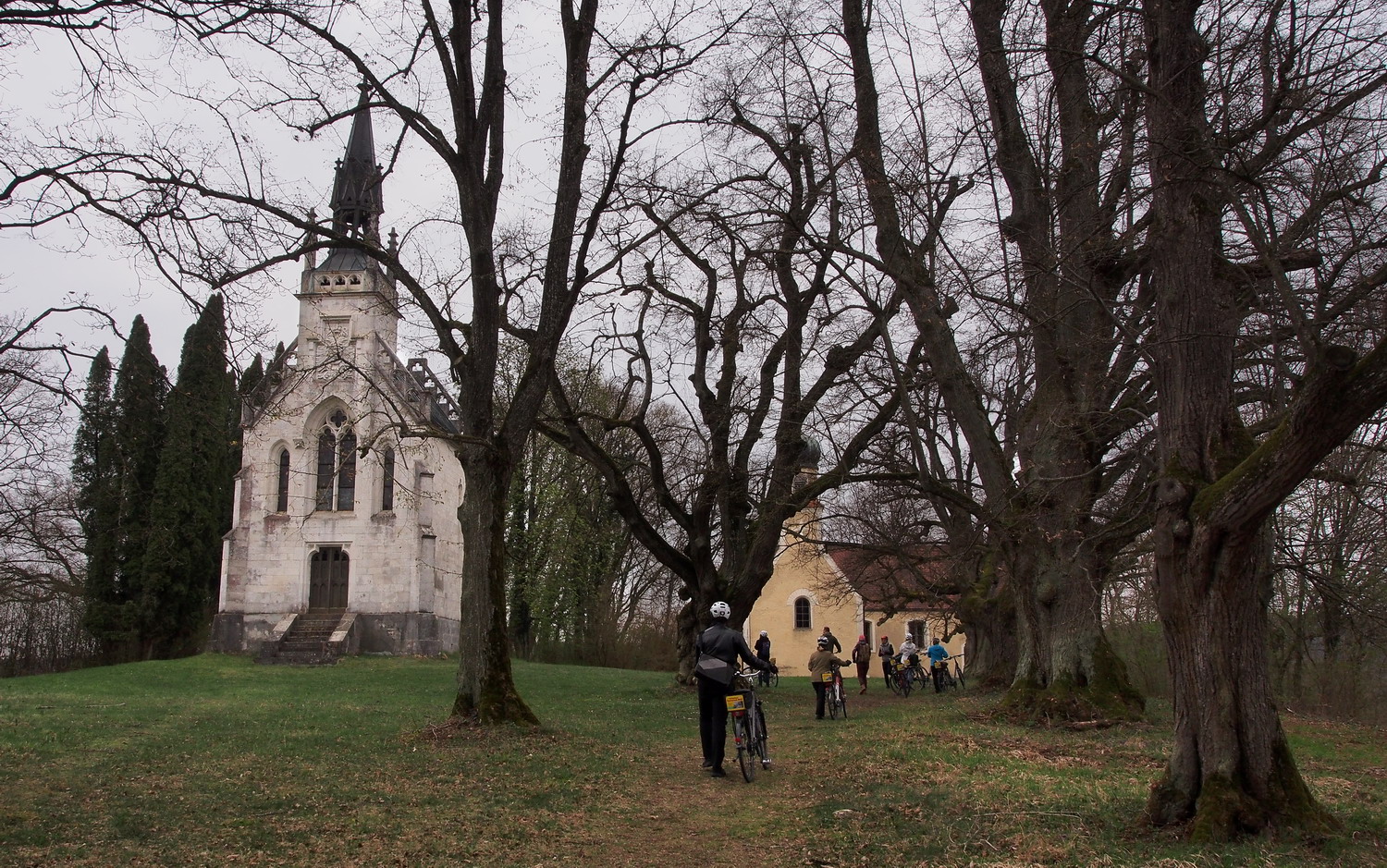
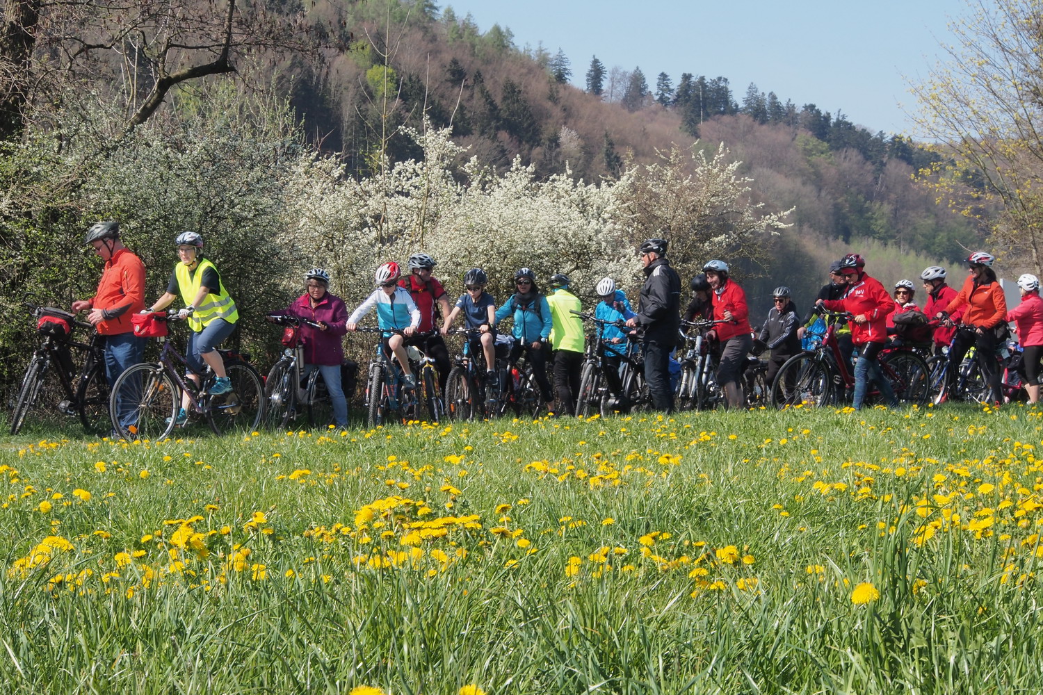
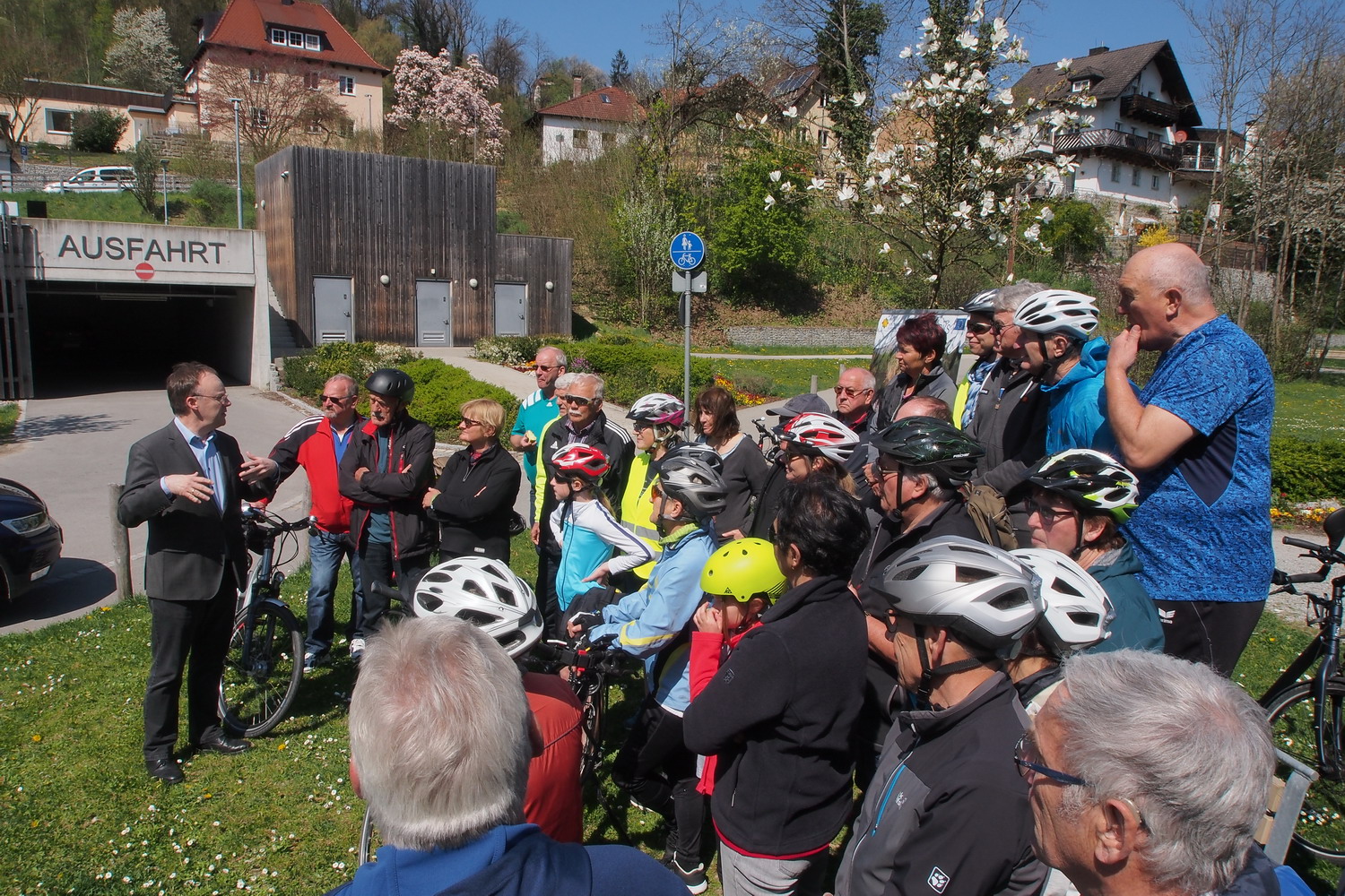
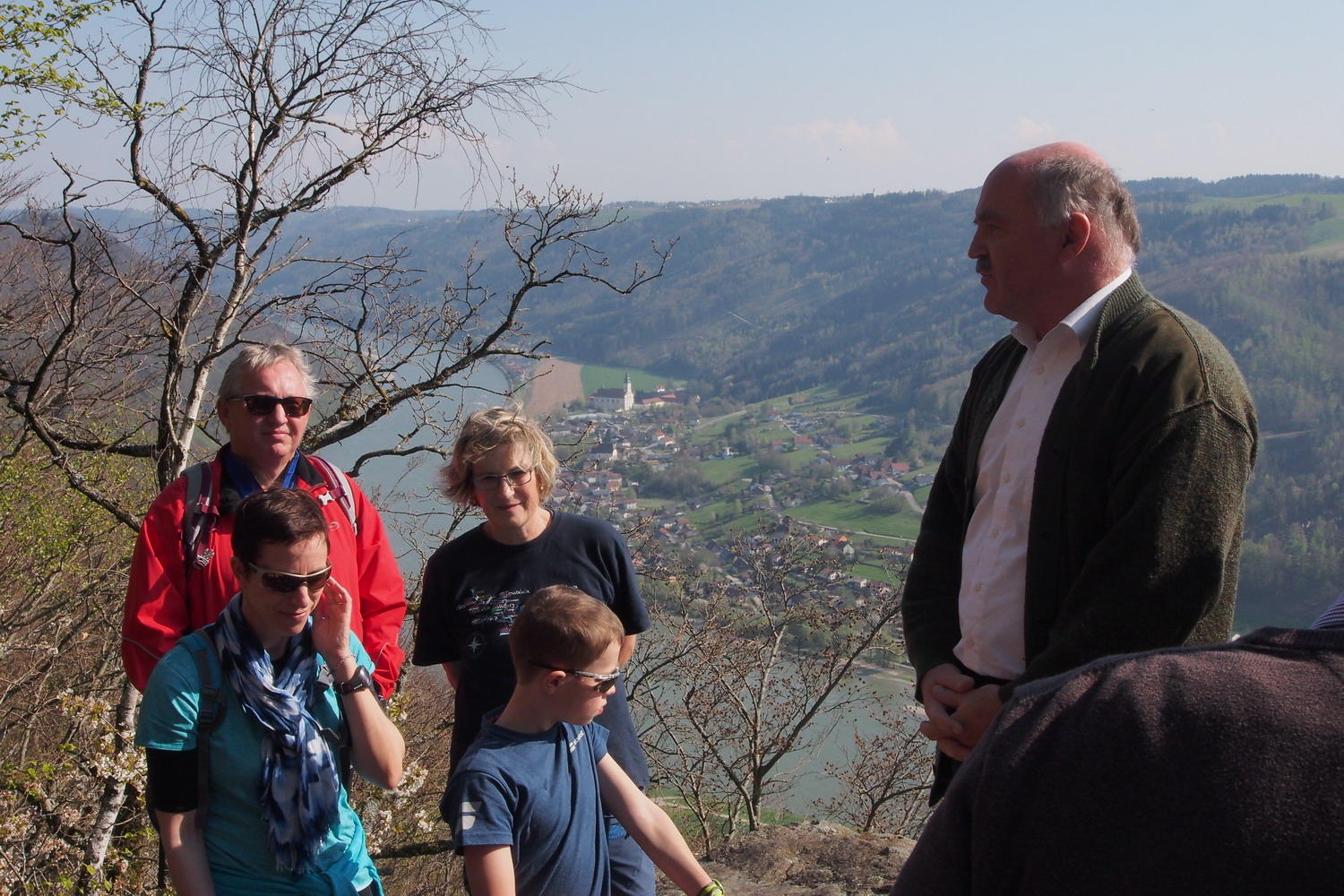
Next day after Hause am Strom I returned to Engelhartszell to meet a person recommended by Christiane and I was really happy that I did that: during the talk with a fish ecologist DI Dr. Gerald Zauner I was probably barely blinking my eyes – that interesting was what he had to say.
After working on University Vienna for 20 years he decided to take advanced control of his dreams and initiatives. In his birthplace, Engelhartszell, he established the company ezb / TB Zauner GmbH that specialized in working on and revitalization of big rivers like the Danube or Inn. They make concepts to improve the ecological situation, then suggest solutions to the state, local governments and power plants, helping the country to meet guidelines from the “EU water framework” - a document that defines related obligations for the EU members.
What is it that what makes you most satisfied after all this time?
Back in the 80s we started the first project and research in Engelhartszell. It has been a long journey now, long enough to see and confirm the good results.
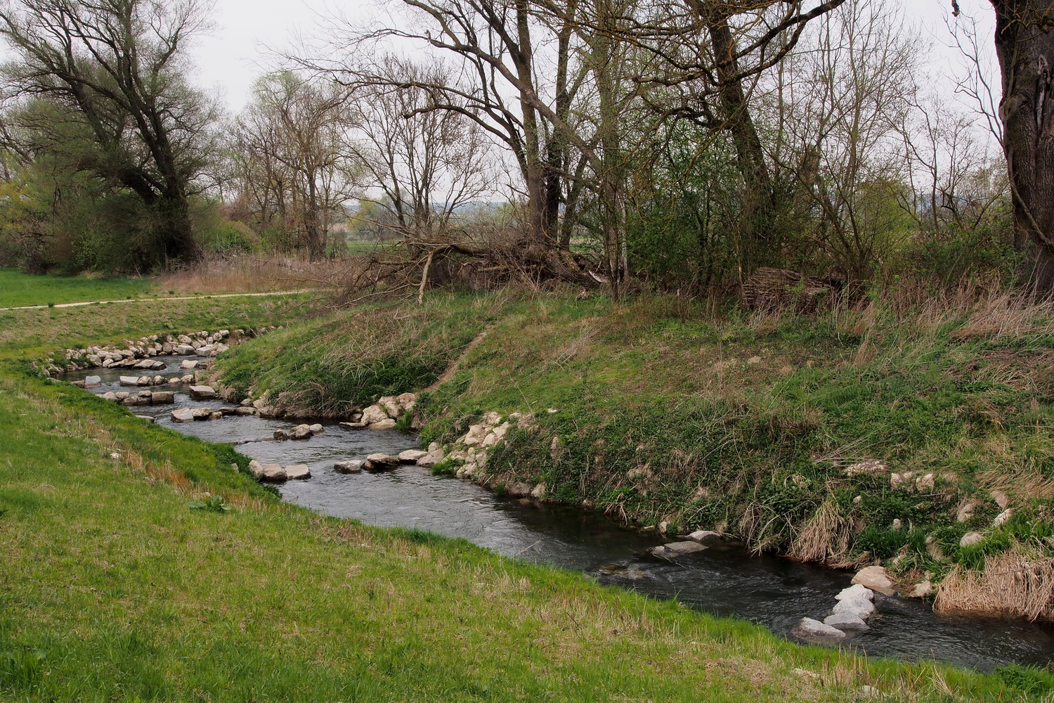
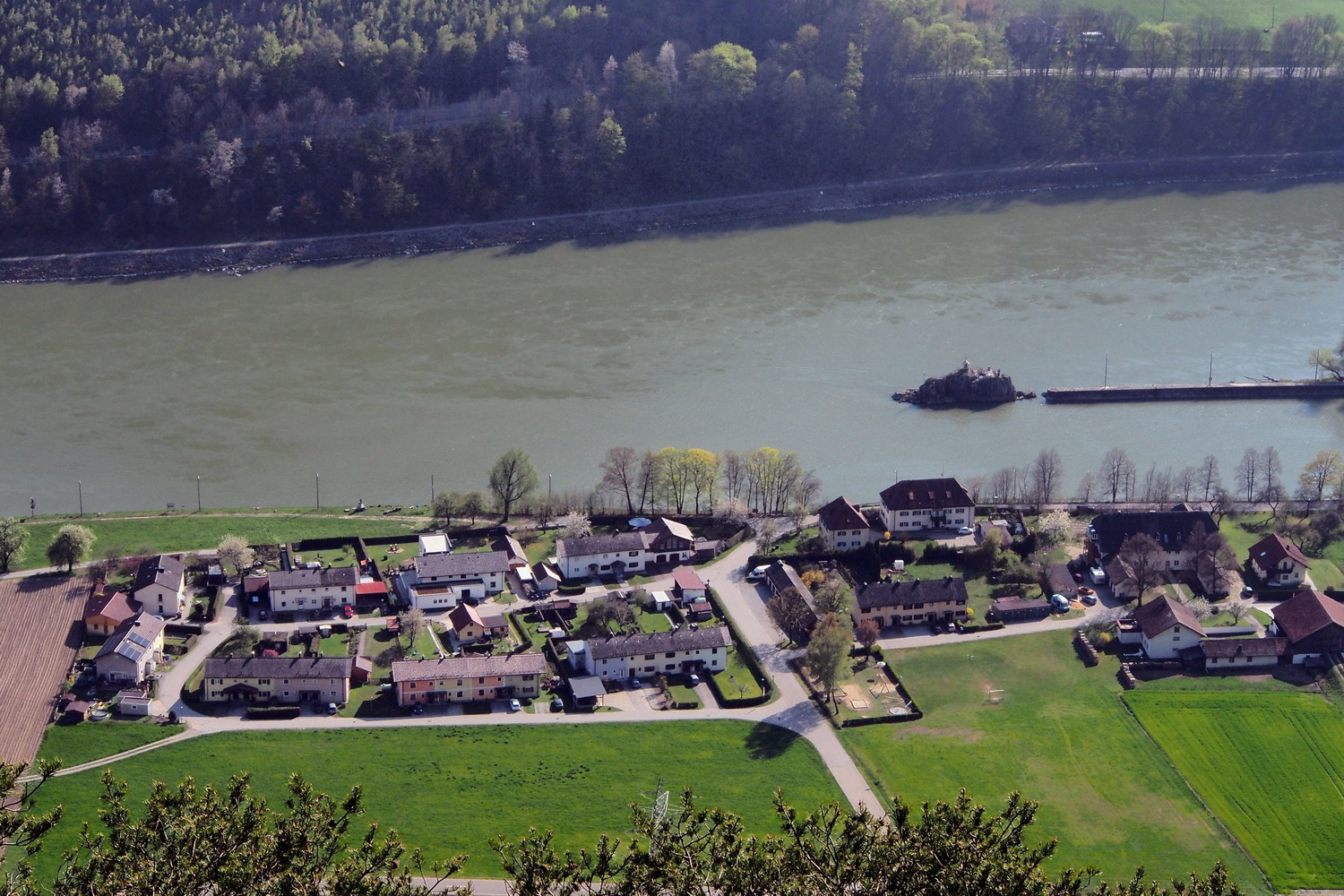
One result of our work is a lot of side arms in the Wachau area – what one can see today while watching the Google Earth images is actually a continuous 30 km long zone there completely changed by measurements in the past..
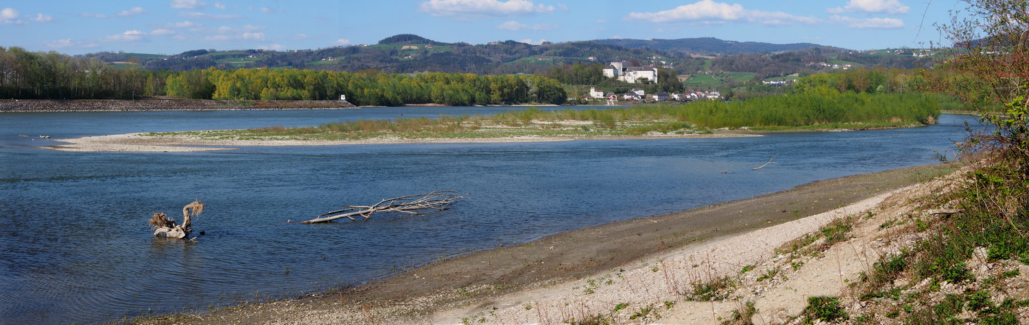
Several years long construction of a fish passage Aschach-Wilhering ended in 2016. With the length of 14.2 km it is the longest in the EU and might be the longest in the world as well.
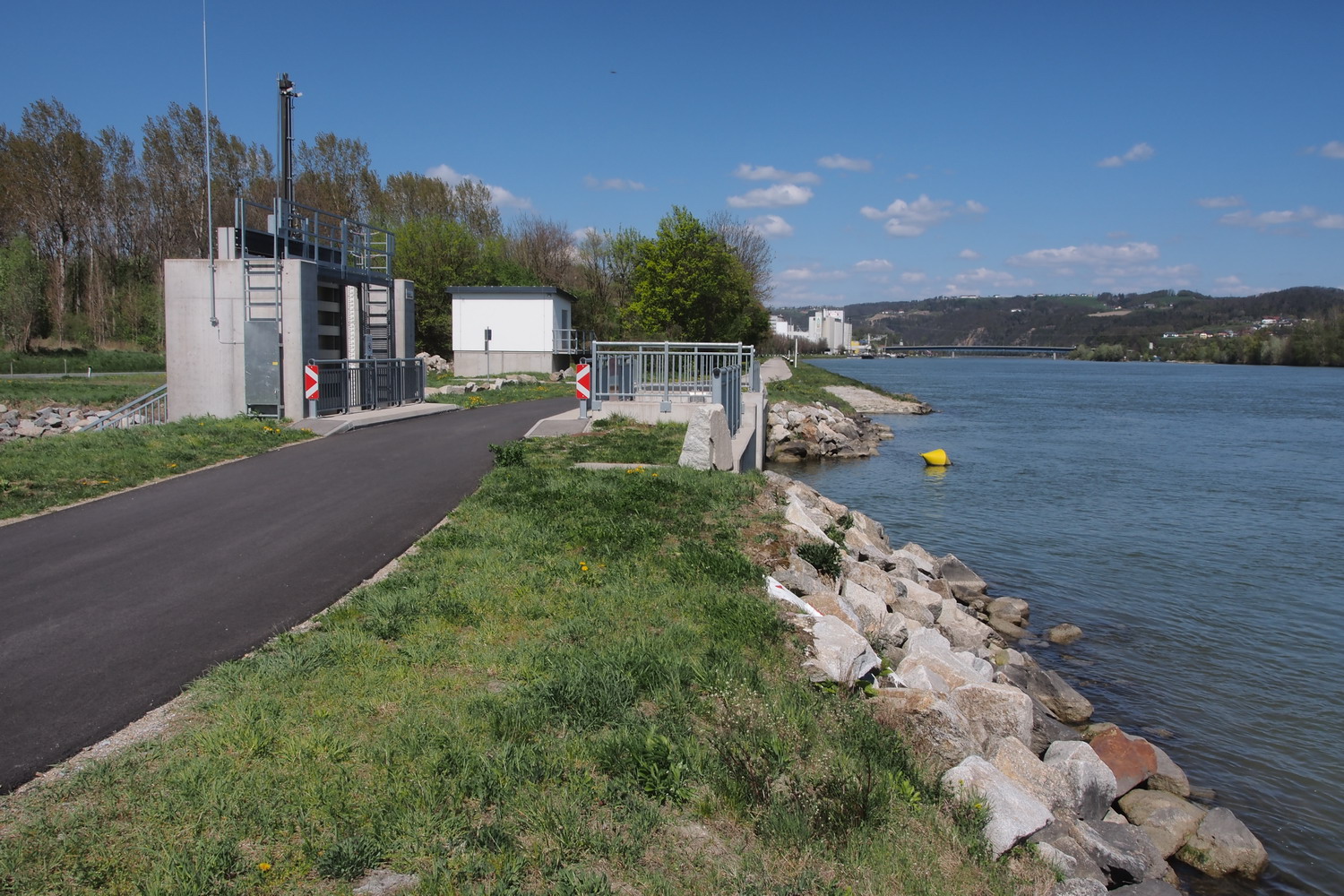
The Aschach end of the fish passage Aschach-Wilhering
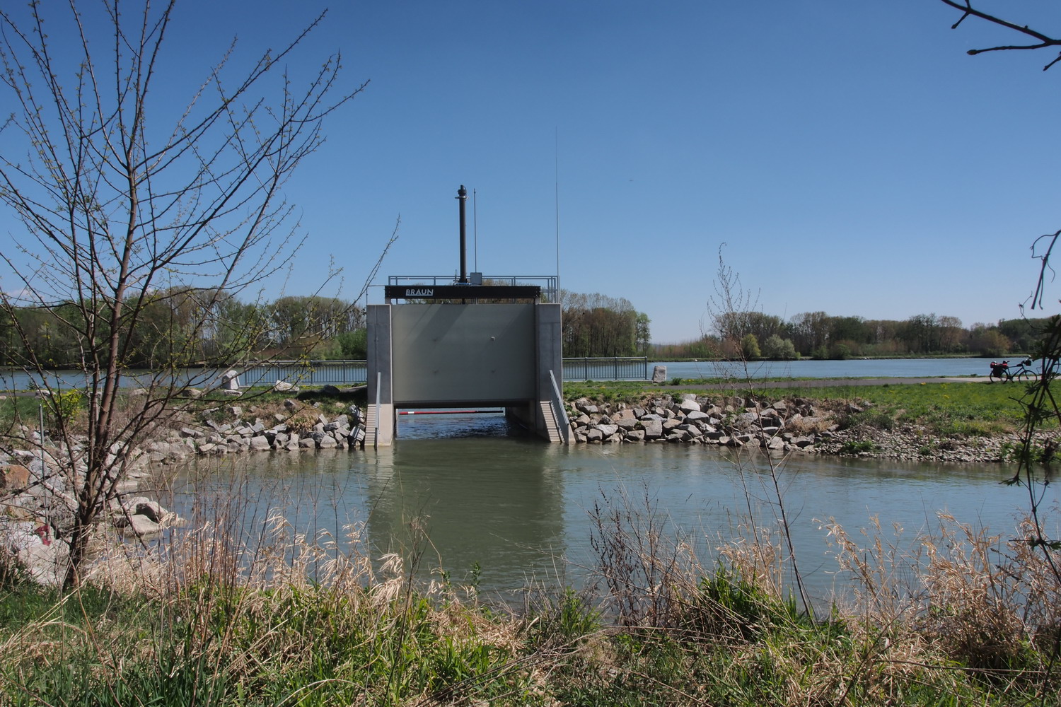
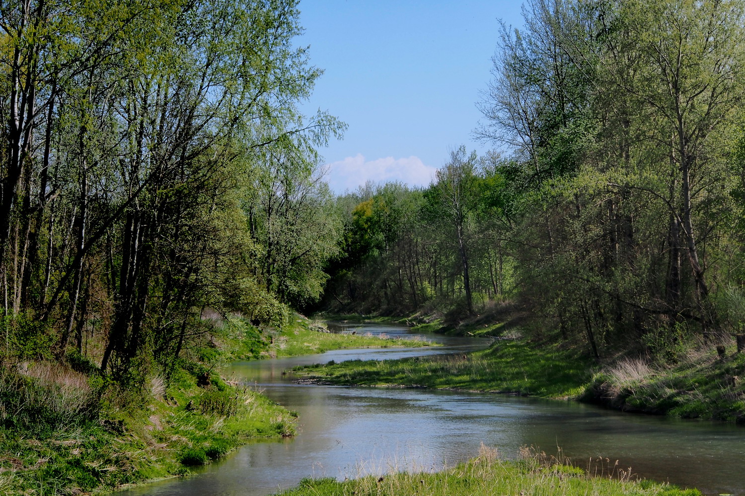
5 km further downstream it grows into a real beauty…
… before returning to the Danube at the Wilhering end
But there is still a lot more to do?
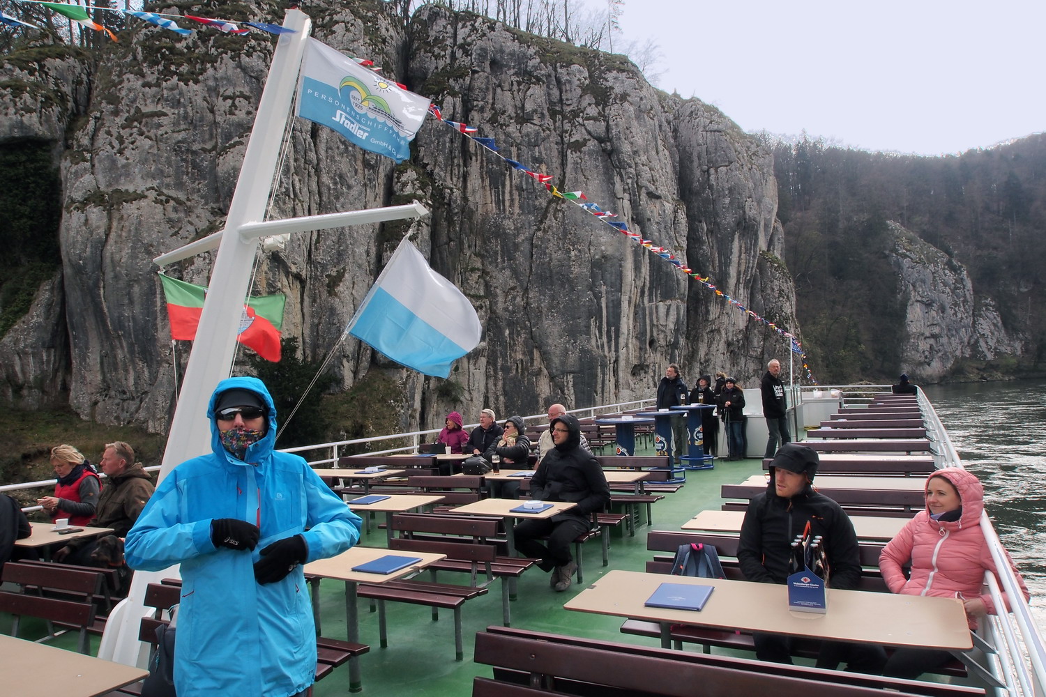
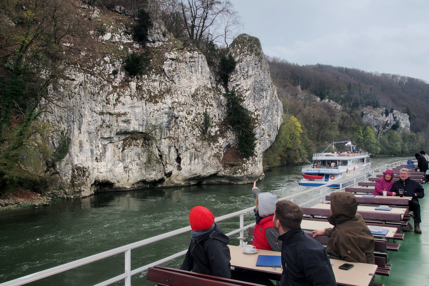
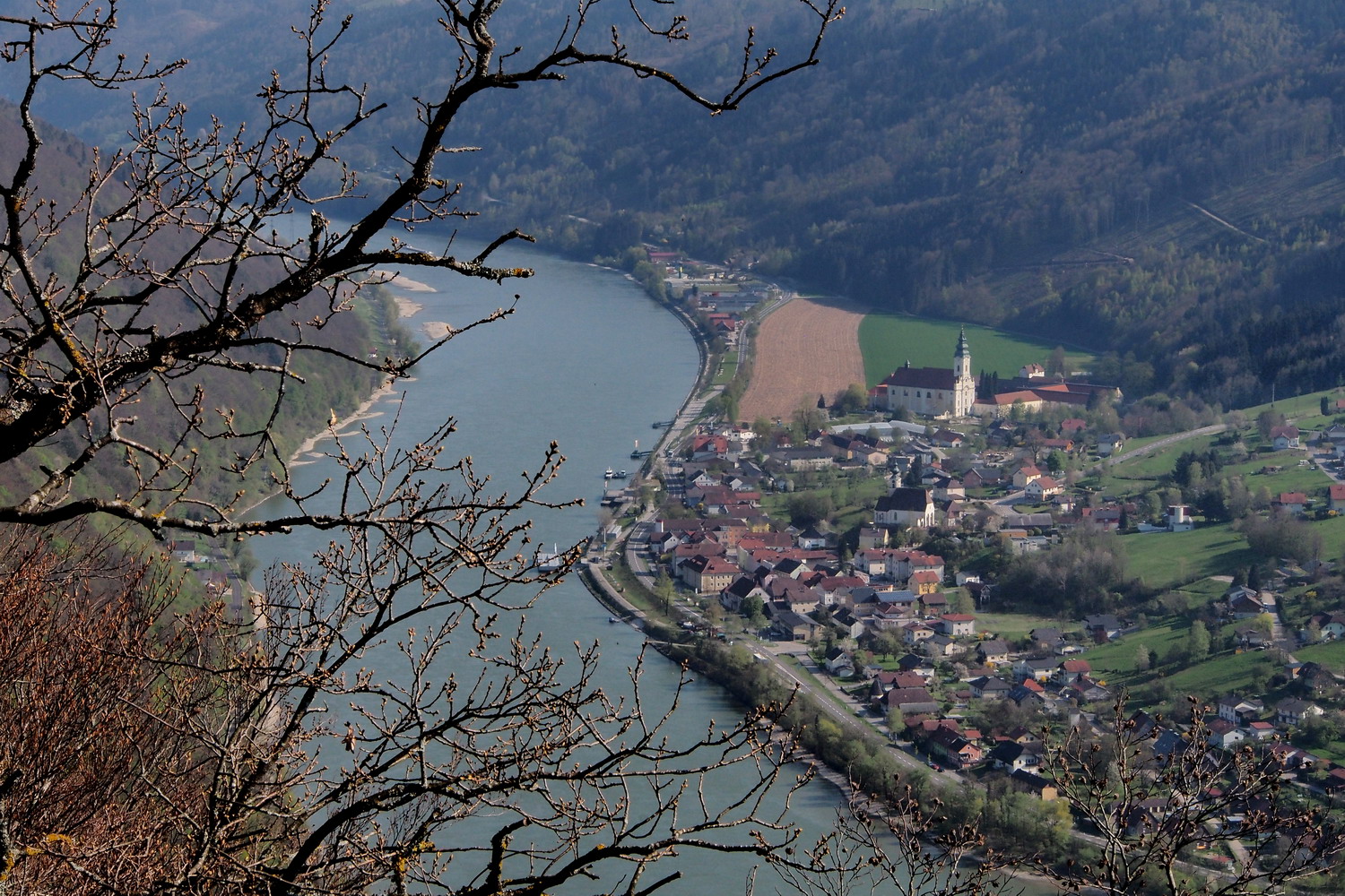
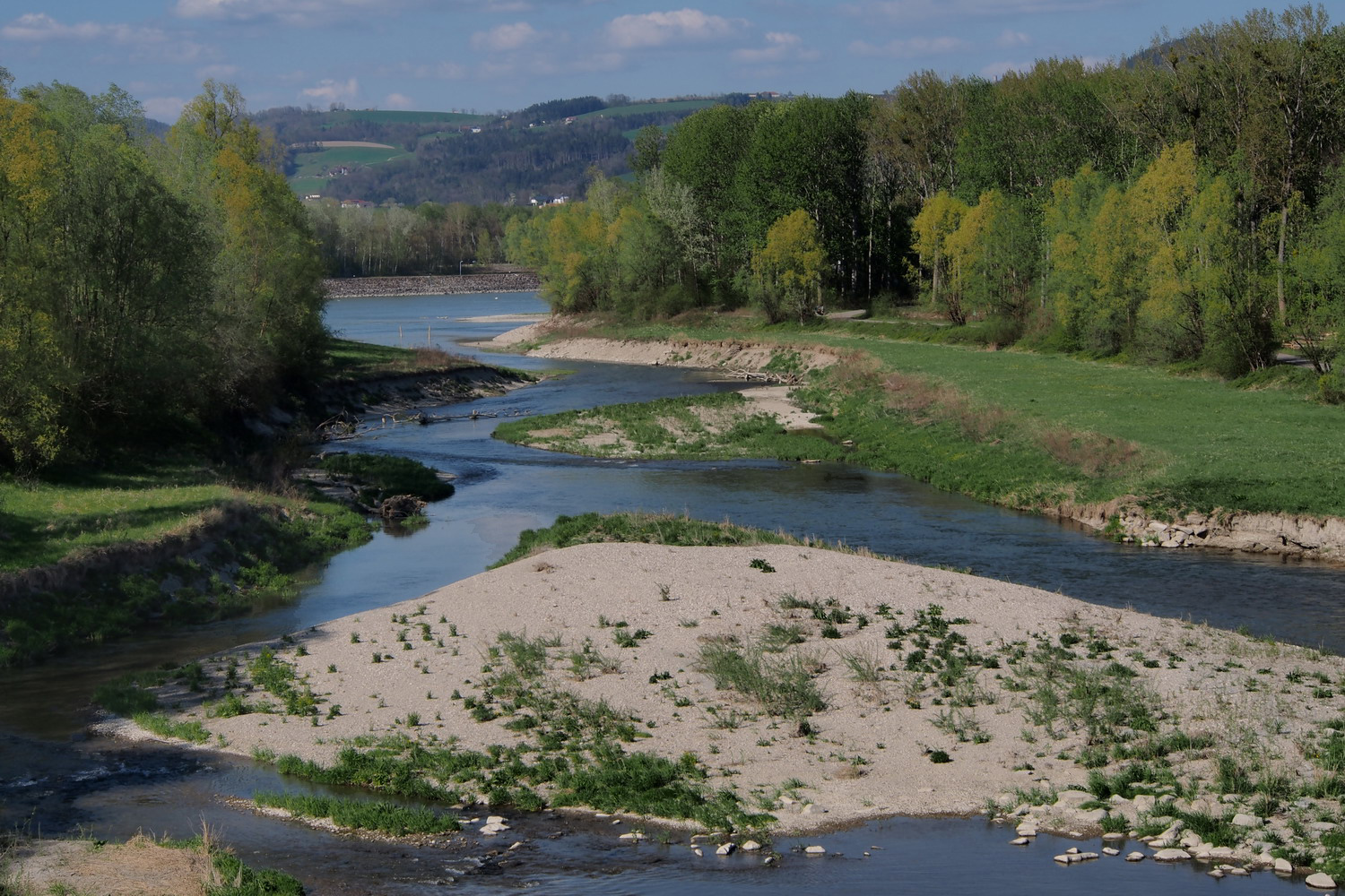
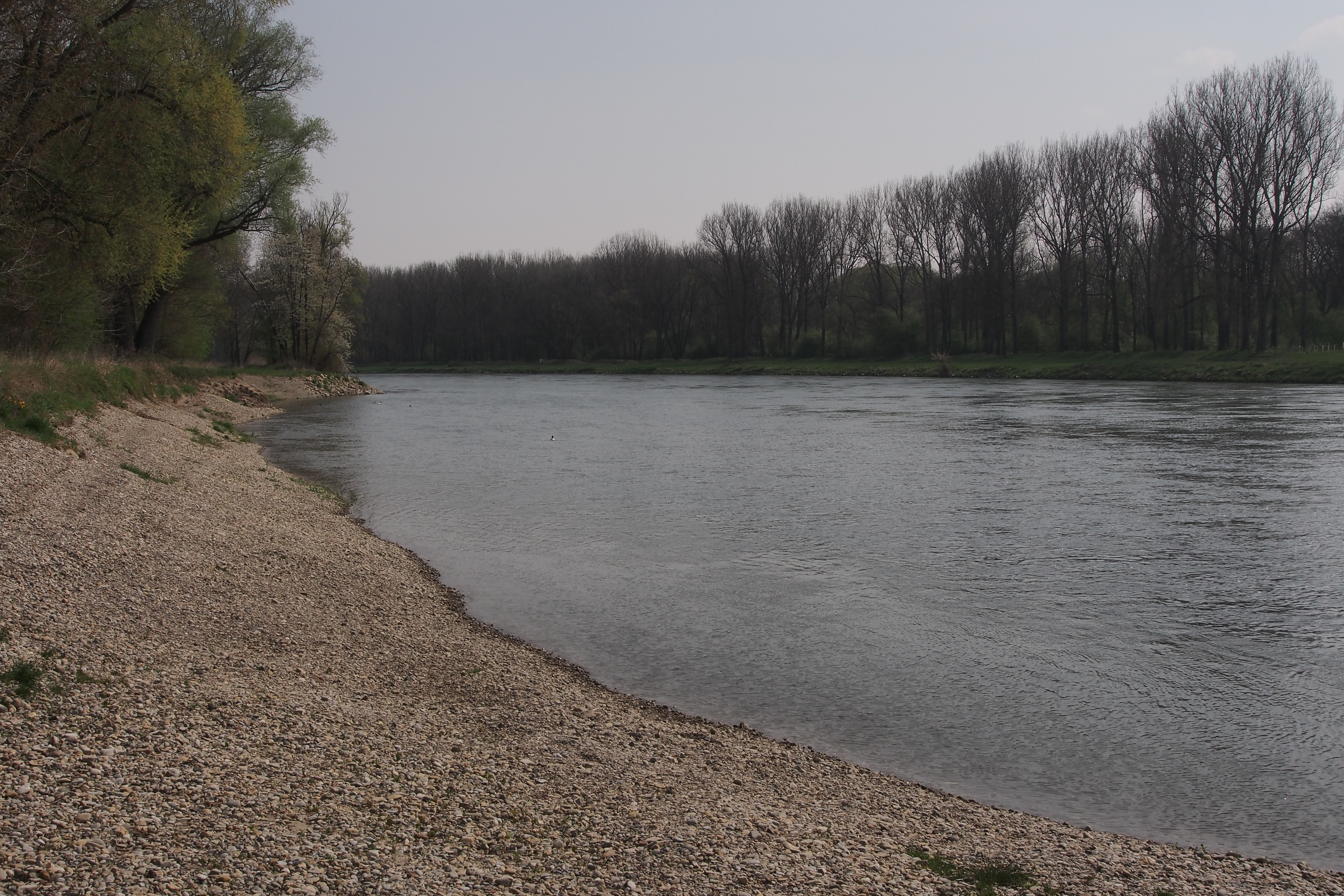
Habitat situation of the Danube is not good. It is a highly regulated river and mostly not a free-flowing one. In Austria there are only two free-flowing sections: 50 km long Wachau part (30 km from power plant Melk and 20 km more from Krems) and 50 km long part east of Vienna (.e. where the last power plant in Austria is).
At Jochenstein power plant (where the Haus am Strom is) the height difference between upstream and downstream side is ten meters. And there are ten other power plants along the Danube in Austria. Then the huge Gabčikovo dam in Slovakia influences the flow for almost 60 km upstream - all the way to the mouth of Morava River, 10 km before Bratislava.
So Danube’s slavery in a glance looks like this:
- Austria has 10 power plants;
- Then there is Gabčikovo dam in Slovakia;
- Then there are power plants Iron Gate 1 and 2, shared between Serbia and Romania.
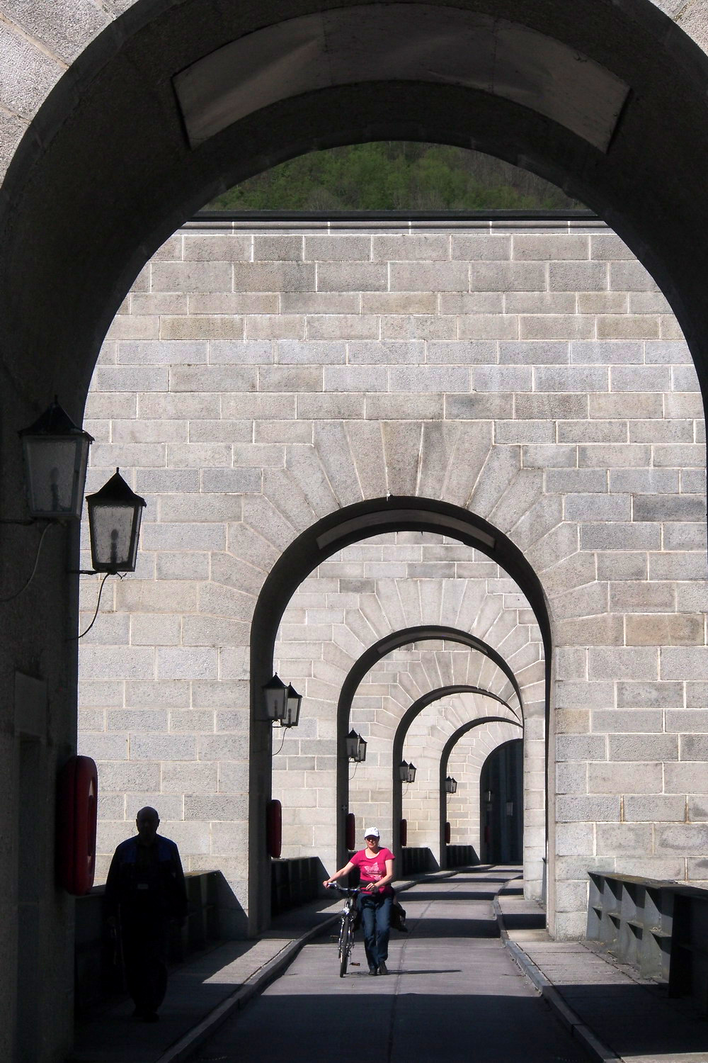
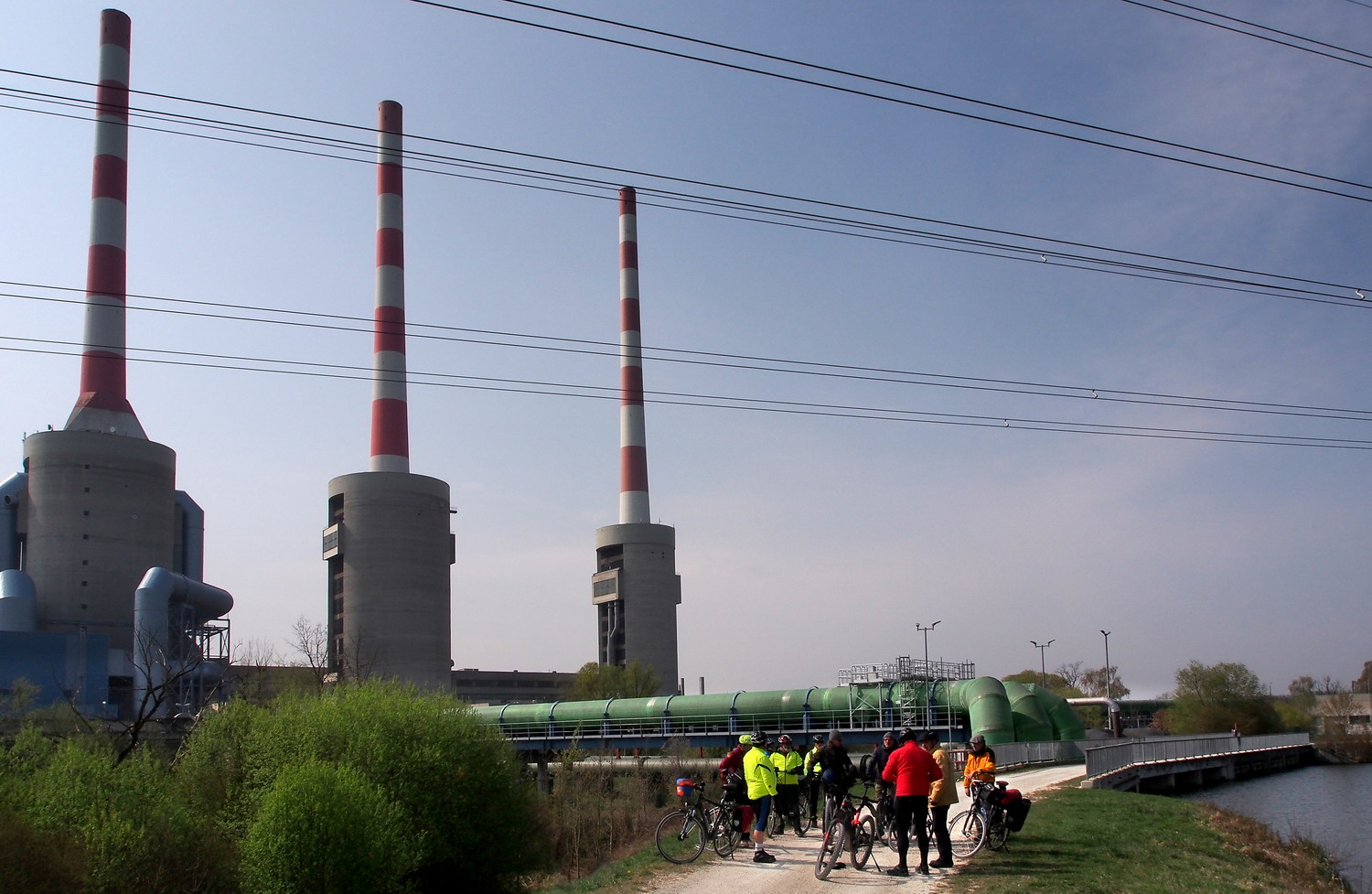
The power plant Jochenstein
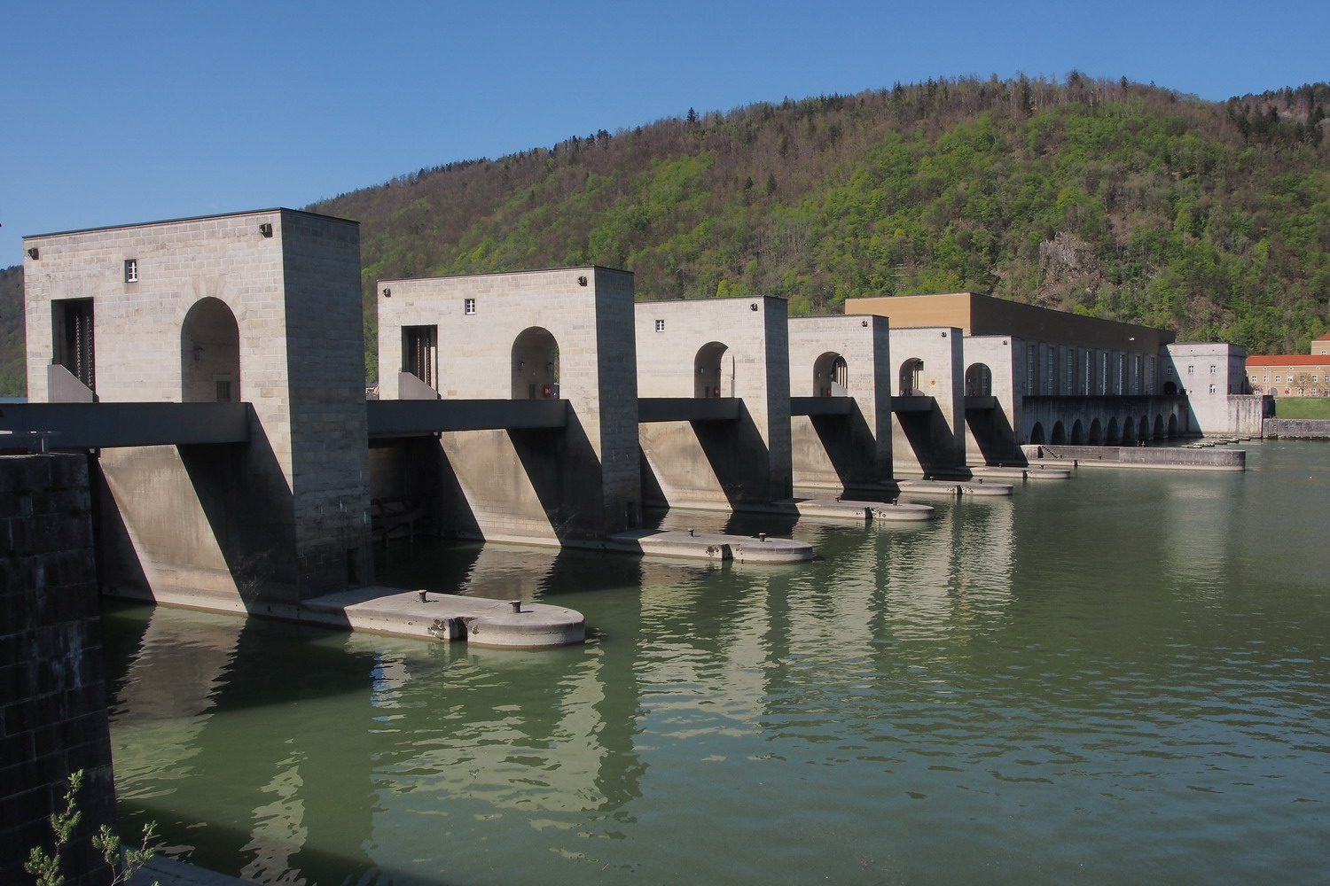
The power plant Jochenstein
It is interesting that Hungary does not have any power plants on the Danube. They almost finished one in 90s but then abandoned it due to strong public opposition and maybe also due to lack of funds (Hungary wasn’t an EU member at that time).
What about Germany?
Some small power plants, but it is also a small and kind of different river there too… The Danube before Passau by its characteristics (temperature, flora,..) actually looks more like the Inn. This is understandable if we now that the Danube discharge before the Inn entrance is 600 m3/sec. The discharge of the Inn is 770 m3/sec. That’s how the Danube comes to a discharge of 1450 m3/sec. (Later in Vienna it will get to 1920 m3/sec.)
At this point we could get into doubt about which is the main river and which is a tributary here. But although the Inn has a greater average flow than the Danube when they converge in Passau, the Danube has a greater length, drains a larger surface area and has a more consistent flow – that is why the Inn is considered a tributary of the Danube and not the opposite. (The Inn is thus the only river originating in Switzerland that ends in the Black Sea - via the Danube.)
How do we determine start and end of a free-flowing section?
The starting point is where the influence of an upstream impoundment ends. That would be a place where the river water is back to its natural level, the one it would have if there was no impoundment. And end of a free-flowing section is off course at the next power plant downstream.
How and when the Danube in Austria got captured that much and turned to… a slave?
Power plant Jochenstein was the first one that was built. It was after WW II, from 1952. to 1956. Four years later came next one, then even more of them - ten in total. The last one was built in Vienna in 1995.
Are there consequences? A revenge of the tied river? To discover that we should first learn something about the stuff that the Danube chews all the time.
There are two types of sediment: the fine sediment - mostly fine sand - comes mainly from glaciers in the Alps: they grind and mill rocks and stones into fine particles, plus the Alpine rivers have big fall and speed. Thirty milligrams per liter is how much of it is transported from the Alps now, with a total of 4 million m3 per year. But in the past, it didn’t stay...
Today, Jochenstein is the first power plant on the way and it stops most of the fine sediment. It is actually being deposited in the upper flow of the river all the time from 1965, and the total quantity is estimated to be - 25 million m3.
The first solution to get rid of it was to dig it and to deposit it on the banks - but that off course was a dead end. During big floods and extreme high flows, these deposits are flushed away: we once lost 8 million m3 during just one flood. This material ends on arable, cultivable land, in layers that can be up to 1-2 m thick.
And then?
And then you bring machines and perform a gigantic task of removing that stuff from fields, to make them usable again.
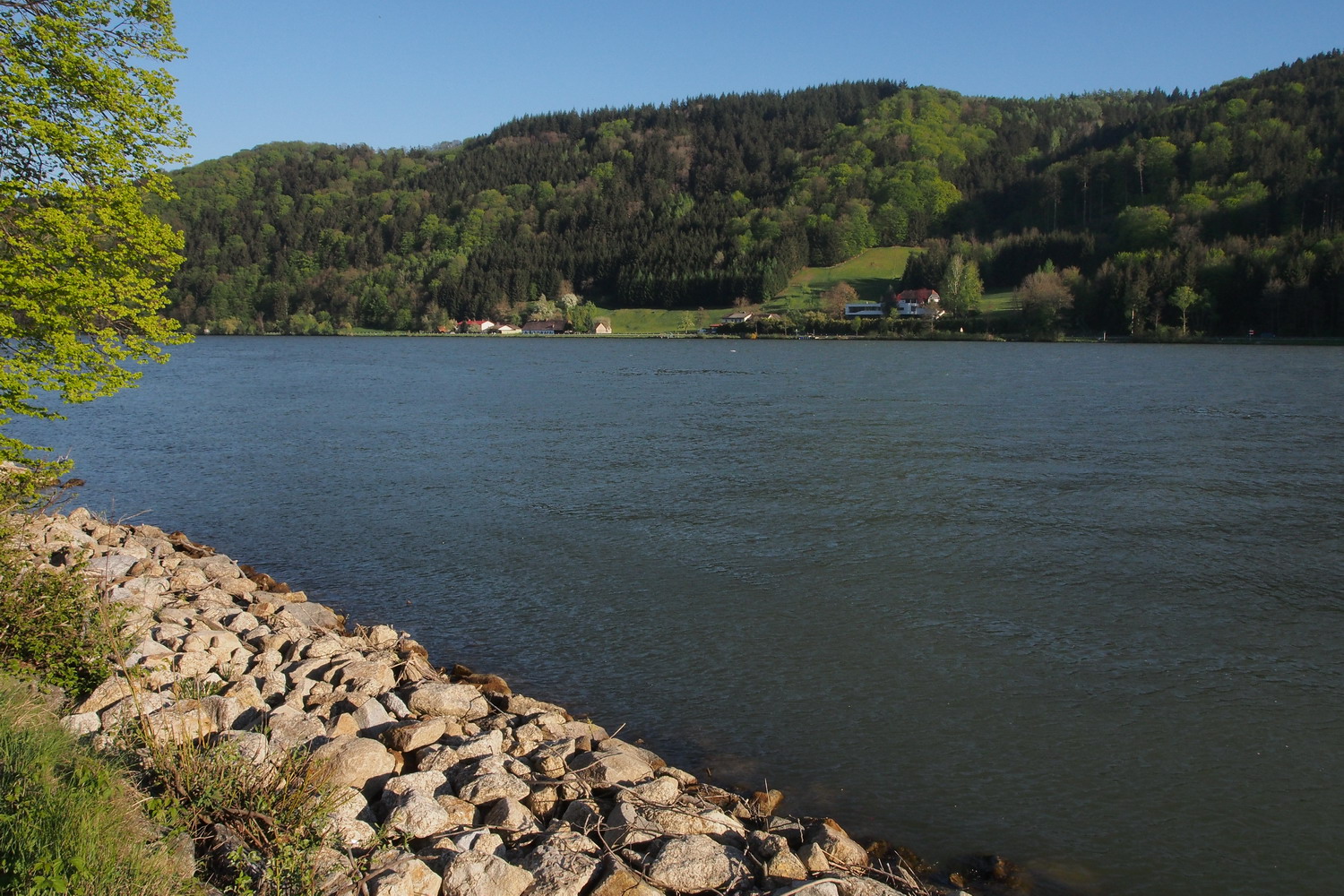
In Austria as in Germany, the Danube banks are usually reinforced at least with packed stones
The fine sediment, used as handy garnish on a photo with castle Ottensheim..
After that… one has to move it out of the way.
There is one more type of the sediment…
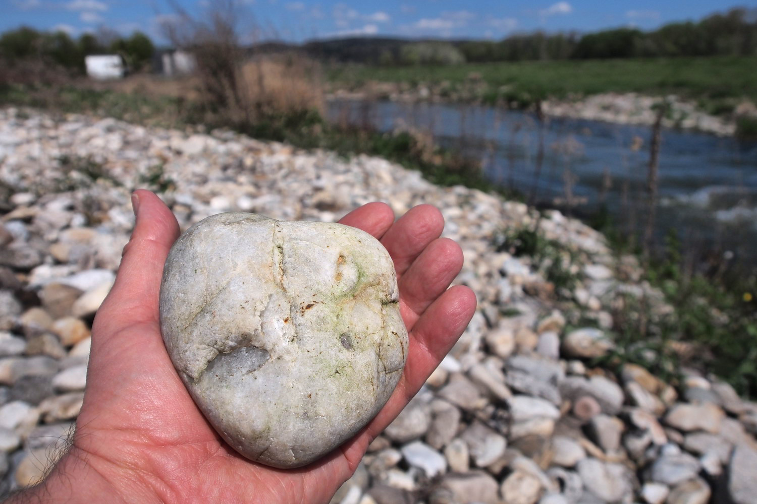
The original rough sediment of the Danube is a pebble with size of a fist. It used to come from tributaries, mostly from Inn, and in the past the Danube transported app. 400,000 m3 of that type per year. But the Inn is also totally impounded today (there are five power plants there now) and other important tributaries have similar destiny - so the pebble supply stopped. At the same time the Danube dynamics is the same as it always was: especially in free-flowing areas, water speed (i.e, energy) is high and it moves downstream the pebble that is still in the bed. But today there is no compensation for that transported material and the consequence is that the river is actually digging itself into its bed. So the water level sinks - typically 1-2 cm per year.
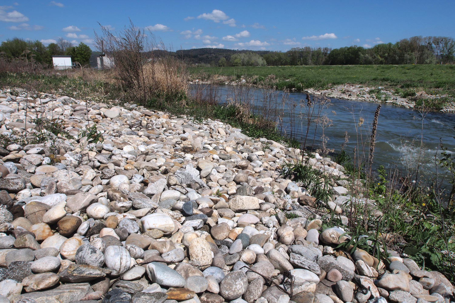
A typical pebble of the upper Danube
You mentioned a specter of unexpected problems that come to existence since the river got heavily impounded. Can you illustrate some of them?
An interesting phenomenon, for example, is that during extreme flooding the pebble in the Aschach impoundment has been transported from the upper to the middle part. (The water energy is not high enough to move it more towards the end of the impoundment.) That deposit was pushing the water level above the allowed limit and that’s why twice so far - in 2011. and again in 2017. - it had to be excavated (all together 750,000 m3), and moved… back to the upper part. Expenses were covered by the power plant.
An interesting game it is… Is there more?
The sedimentation is a constant process in the Danube flow, but once that sediment gets into riparian forests as well (typically during high water levels) the river is not strong enough to later flush it out of the forests.
Sedimentation without transportation – that brings problems. Especially after Vienna, the soil becomes higher and higher after every flooding. But the original forest habitat there is characterized by a small level difference between soil and water, while typical plants have shallow roots. When that difference starts to increase the original plants disappear and get replaced by new, untypical ones.
***
And then, almost at the end of the conversation and almost by chance, this jumped out and delighted me the most: an ecological fairy-tale that became reality.
In 2011. one company was about to fill up parts of the Linz harbor to increase its useful area. The operation was planned to last until 2013. But Gerald had a concept to propose to the Upper Austria government: the contractor should provide some kind of compensation for the area of the river he will turn into the land.
The idea came from old maps showing a jagged coastline at a certain zone upstream from Linz instead of the simple, continuous present-day banks reinforced by stones. The contractor should make a sidearm and an island, converting the area into the former state.
The hard working Danube finally got a present from someone: a brand new island
The company fiercely opposed the concept, stating that it would make expenses much higher. At the same time, they planned to buy filling material somewhere else and to transport it to the harbor by 20.000 truck rides (through the heavy Linz traffic): the Danube didn’t exist in their plans at all, except as “the water in the harbor”.
But by using the excavated material from island/sidearm area (and that material was not only free but also of higher quality comparing to the one they planned to buy) and transporting it by river to the harbor, the project price actually got - lower than projected.
At the same time the Danube got better bank configuration: the terrain was lowered by 5 m on an area of 16 hectares to make the island (its top is 3m lower than the landscape before) and by 10 m to make the sidearm.
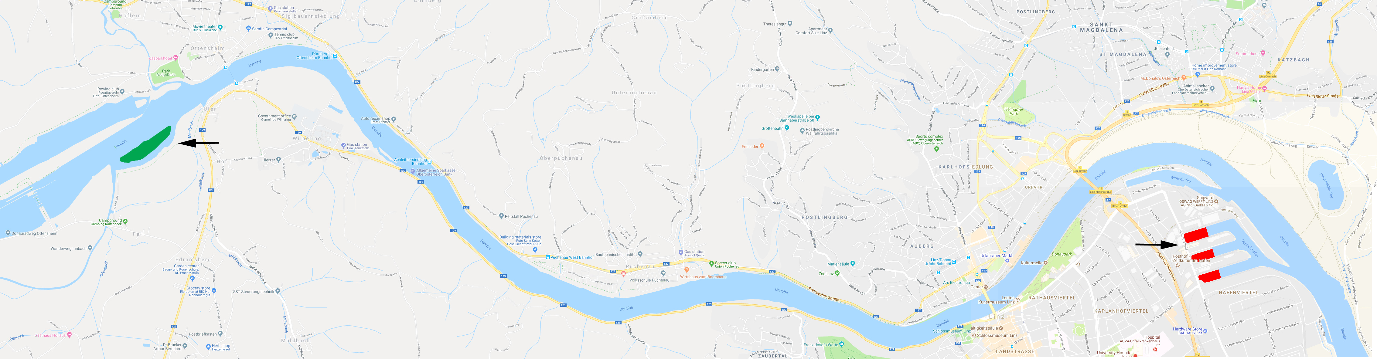
The map shows filled up zones in the Linz harbor (red) and the new island (green)
And they all lived happily after all. While the story shows that, at least sometimes, business/development and ecology can be reconciled. Thank you Mr. Zauner.:)
PS
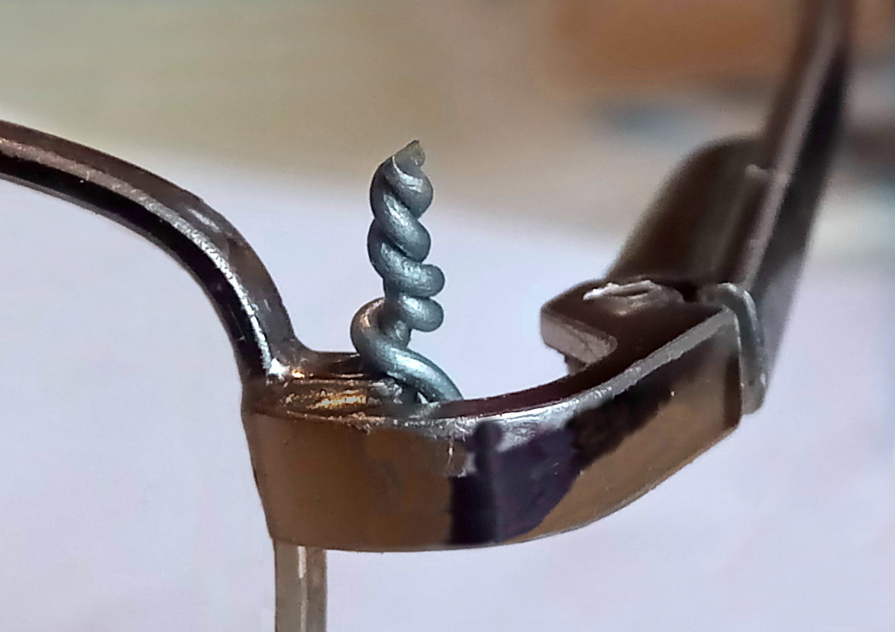
If you ask me, Gerald can be also proud of how he fixed my glasses while we were talking the Danube stuff. I even noted that with this small antenna, Wi-Fi reception of my phone improved by 18%.
|