SaveGREEN - QField mobile application: an effective tool for landscape and wildlife monitoring
28-03-2022
When thinking of a tool for wildlife monitoring in the field, a phone might not be the first thing that comes into your mind, right? Think again! The QField App is an innovative way to organise expert data collection from the field to create harmonised results. The app brings the power of GIS into portable form through an easy-to-install mobile app that makes the science accessible.
One of the main goals of application-toolbox development is to support an approach to connectivity monitoring that is both uniform and traceable, which in turn makes it much more cost-efficient and capable of delivering comparable results for different areas. Proper data collection and analysis also significantly reduces levels of mistrust between stakeholders (e.g. game managers and conservationists) when tensions run high. The app’s massive repository of well-organised data provides the basis for evidence-based decision making. Dissemination efforts include plans to promote the toolbox for use in other areas and regions, as well.
What are the expected results?
- An overall, common data structure (including a whole workflow from QField to PostGIS).
- A common database of observations from all SaveGREEN pilot areas.
- Landscape-level information on pressures on ecological connectivity existing in the pilot areas.
- Involvement of other sectors using the app, resulting in a bigger user community with easy-to-share results.
Our expectation is that the mobile-app platform (an open-source GIS system) will gather data on land-use, wildlife tracks and barriers for professionals in the field. The desktop app (powered by QGIS) will be used for presenting and analysing data, and also for administration. The spatial database will be used for data storage and sharing with other systems (CCIBIS).
CCIBIS offers storage and a platform for presenting data on biodiversity in the Carpathian countries. The spatial data it provides to stakeholders facilitates decision making-processes and promotes support for evidence-based policies. Any stakeholder can upload and share data quite easily.
National authorities and the railway company have shown an especially keen interest in using these tools. The mobile application is also suitable for use in citizen science, and is especially relevant in the context of the growing number of wild animals (including bears) being killed on roads and railroads.
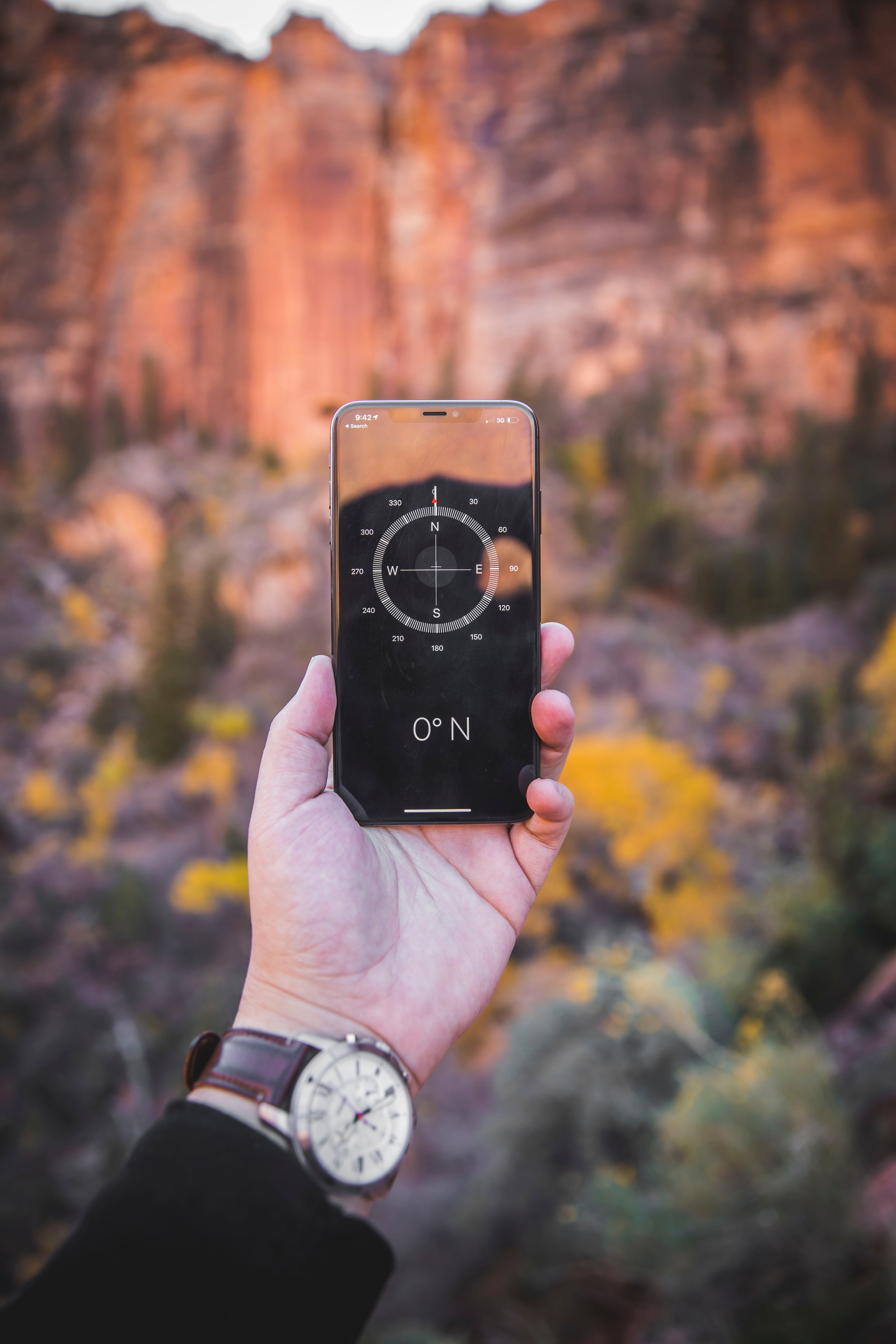
Photo: unsplash
The application toolbox and capacity-building programme will be integrated, and the data derived from field work and desktop research will be presented in a user-friendly way. The decision-support system developed within ConnectGREEN will also be used in SaveGREEN to facilitate a structured dialogue with key stakeholders from various sectors. In addition, all supplemental data sets coming from the monitoring activities (to be integrated into CCIBIS) will contribute to more-informed decision making.
The final version will be available in Spring 2022.
Get more information about our capacity-building programmes here and take a closer look at QField by participating in one of our Transnational Workshops!
Stay tuned and follow #SaveGREEN on our social media channels to stay up to date, or subscribe to our newsletter to gain project insights!
Save nature: SaveGREEN!
Author:
Eszter Sebestyén, CEEweb
Contributed by:
SaveGREEN Communications team, Florian Borgwardt