SaveGREEN - Notes from the field: Assessing the functionality of wildlife corridors in the Arad-Deva pilot area
20-03-2022
Assessing the functional connectivity of wildlife corridors, which involves carrying out a range of monitoring activities, is an essential part of the SaveGREEN programme.
Following GIS-based modelling of important zones for connectivity, the Zarand Association, in collaboration with experts on different species groups (plants, invertebrates, fish, amphibians, reptiles, and mammals), has drafted a monitoring plan for the Arad-Deva pilot area in Romania.
Since autumn 2021, field experts from the Zarand Association have been studying the impacts of natural and artificial barriers and human activity on mammal species to obtain an understanding of the functionality and effectiveness of several Natura 2000 sites in Romania (e.g. Defileul Muresului, Podisul Lipovei-Poiana Rusca, Zarandul de Est, and the Metaliferi Mountains).
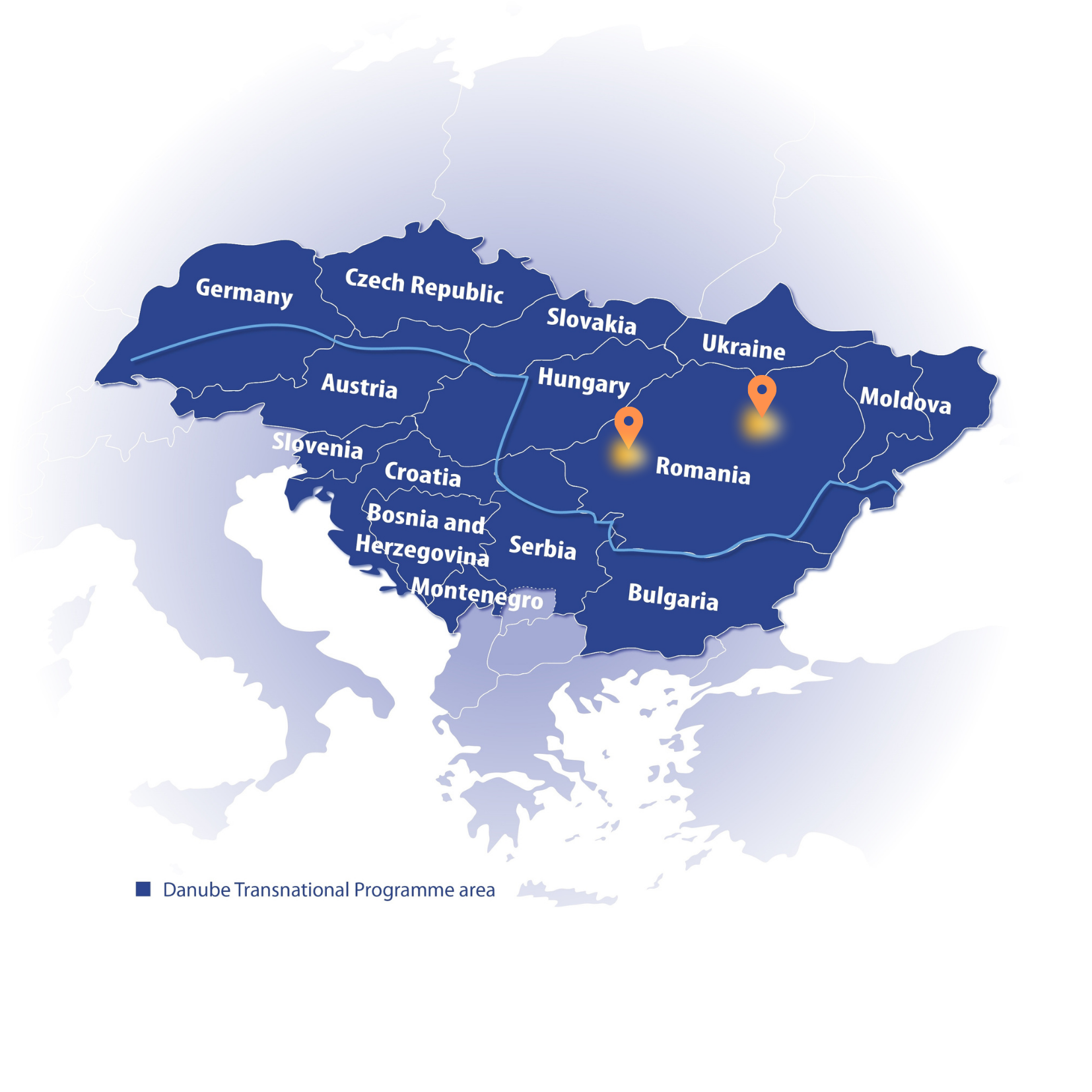
Pilot area map, Eszter Sebestyén, CEEweb
The use of ‘camera traps’ to monitor mammal activity is already yielding some results regarding:
- the migration range of species using critical corridors; and
- the frequency of corridor usage and behaviour patterns of individually identified animals.
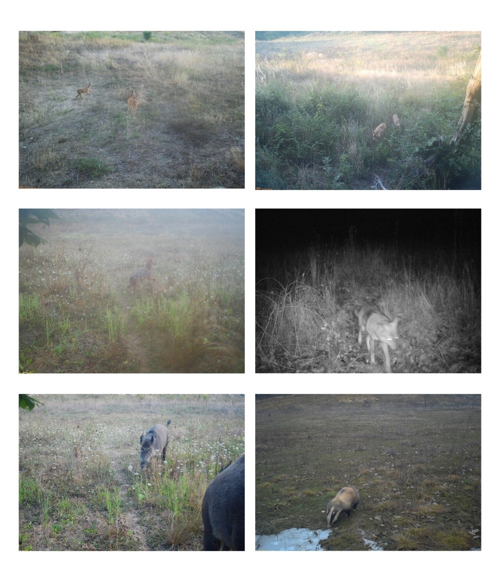 ‘Camera trap’ captures from the Arad-Deva pilot area. Radu Mot & Razvan Rohan, Association Zarand
These monitoring results, in combination with information shared by local stakeholders, will be used to generate a coherent database to facilitate decision making and support the development of a local, cross-sectoral action plan at landscape level.
We have published an earlier article where can learn more about the SaveGREEN project’s work in this pilot area. You can also visit the project website here for more information.
Author:
Radu Mot, Zarand Association
Contributors:
Florina Ciubuc, Zarand Association; Bianca Stefanut, WWF RO