SaveGREEN - Developing an integrated monitoring plan for the Arad-Deva pilot area
11-01-2022
A complex and diverse natural and cultural landscape, the Arad-Deva pilot area in Romania harbours the Mureș River Valley, the Zarand and Metaliferi mountains to the north, and the Lipovei Hills and Poiana Ruscă Mountains to the south. The Mureș, one of Romania’s largest rivers, meanders through a matrix landscape that is important for several sectors and industries, including: transport, agriculture, forestry, mineral extraction, hunting, and tourism.
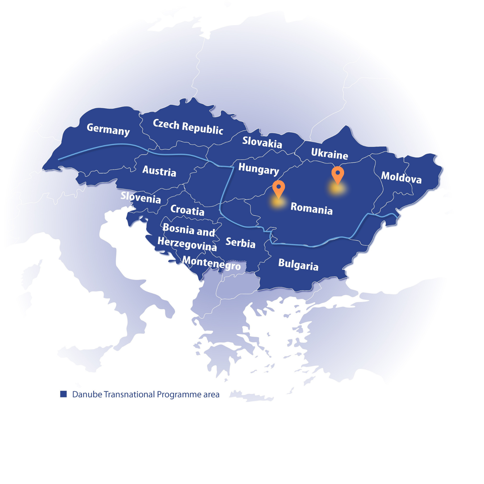
Pilot area map, Eszter Sebestyén, CEEweb
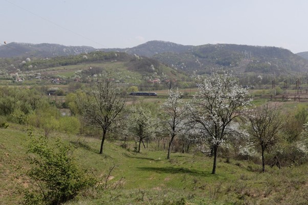
The Mureș Valley and Zarand Mountains. Photo: © Zarand
The linear transport infrastructure being developed here is important for human development, but represents at the same time a major barrier to movement for most species of wildlife. The SaveGREEN project seeks to find ways to mitigate or overcome wildlife mobility challenges linked to grey infrastructure and landscape fragmentation.
Monitoring methodologies
The project’s integrated monitoring plan has several objectives: to focus on all key or umbrella species with regard to connectivity in the pilot area (from invertebrates to large carnivores); to adapt various methodologies to better understand specific species groups; to develop dedicated tools to improve monitoring efficiency; and, to produce a database to support and inform decision making.
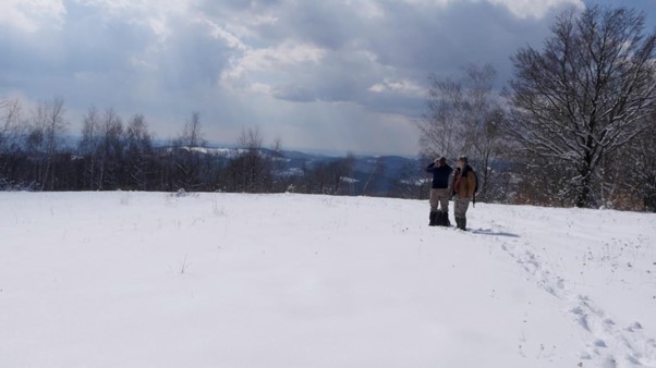 Preliminary field studies will lead to the adaptation of species-specific monitoring methodologies – an all-in-one mobile app for snow tracking, for example. Photo: © Zarand
With the user-friendly qField mobile app, a smartphone is all one needs to conduct fieldwork navigation, data recording and photography. At the push of a button, collected data can be synchronised with GIS desktop software, which saves time, improves workflow, and reduces the chance for human error. Moreover, the app is available for free!
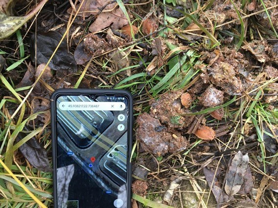 The QField app, adapted for specific monitoring needs, registers bear droppings on a green bridge within the pilot area.
Photo: © Zarand
A major objective of the integrated monitoring plan is to demonstrate the power of a common database for sectoral management to support coherent decision making at landscape level. To provide just one example: as a future motorway sector will intersect with one of the game units in the area, we are collaborating with local stakeholders in documenting how the new infrastructure will impact the current game-management regime, as well as how management practice might be adapted to better support landscape connectivity for medium and large mammal species.
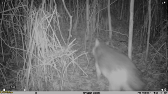 A camera-trap video captures wolves passing through a key zone of the pilot area. Photo: © Zarand
Monitoring is not something for experts only. The general public plays a very important role in collecting information that can influence management decisions. One example is the ROad.kill app, which allows drivers to record the location of wildlife killed on roads. Over time, this type of data will help inform the assessment of conflicts between transport and animal movement and contribute to the development of practical mitigation measures.
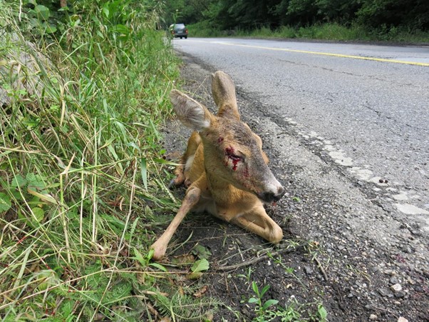
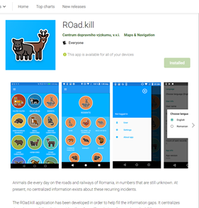
Car and train collisions with wildlife are the most visible consequence of fragmentation, and a threat to human safety as well. The ROad.kill app, in its final testing phase, will be made freely available to the general public and experts alike.
Photo: © Zarand
The project has produced an informative factsheet already where you can learn more about the pilot area.
Stay tuned for the next article! The next stop on our virtual tour series will guide us to the beautiful Rila-Verila-Kraishte corridor, SaveGREEN's Bulgarian pilot site!
Follow our social media channels on Facebook and Twitter as well, to stay updated, or subscribe to our newsletter to gain project insights!
Save nature: SaveGREEN!
Author:
Radu Mot, Technical expert, Association Zarand
