Danube Floodplain Reducing the flood risk through floodplain restoration along the Danube River and tributaries
Danube Floodplain GIS
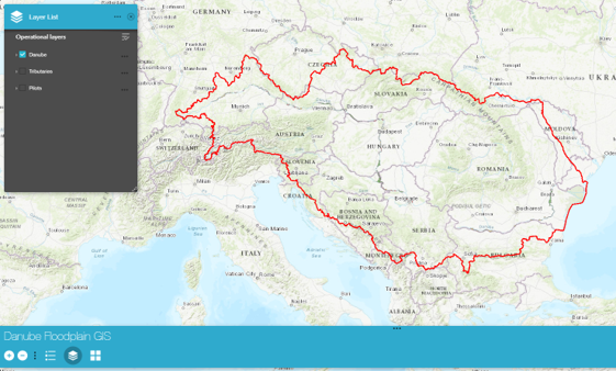
The Danube Floodplain GIS is a spatial database storing all results of the Danube Floodplain project. Via a public web-based interface, the data is available in the form of interactive maps. The results of the Floodplain Evaluation Matrix (FEM) modelling for active and potential floodplains of the Danube and tributary rivers can be visualized and downloaded. The FEM results can also be accessed in textual form as the Danube Floodplain Inventory. This document gives a detailed overview of the FEM ratings and the demand for restoration of the floodplains. The evaluation of ecosystem services and habitat provision for different pilot areas is also available via the Danube Floodplain GIS. The database is continuously extended with new results.
To reach the Danube Floodplain GIS, click here