SaveGREEN - Training: Anchoring ecological connectivity in Austrian spatial planning
16-11-2022
On 8 November 2022, the two Austrian SaveGREEN project partners, the Austrian Environmental Agency (EAA) and WWF Central & Eastern Europe (WWF-CEE), held the second in a series of trainings for spatial planners on the integration of ecological connectivity into their work. The event, held online to facilitate participation by practitioners from all over the country, was attended by 13 spatial planning experts, among them planning authorities, university researchers, and spatial planning bureaus. In the 3-hour-long training, the participants and SaveGREEN team were able to exchange knowledge on the current state of ecological connectivity in Austria, efforts and suggestions on how better to anchor the conservation of ecological connectivity in spatial planning, and about the tools already available and currently in development to support these efforts.
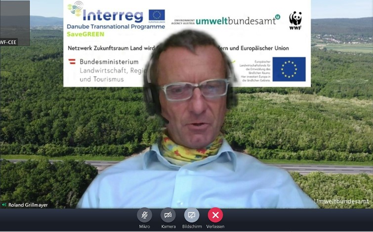
Image 1.: Roland Grillmayer of the EAA © Christophe Janz
To set the scene, Roland Grillmayer of the Environment Agency Austria (EAA) presented a review of the rise of ecological connectivity as a topic of growing importance in Austria over the past 20 years. In his presentation, he spotlighted the main actors that drove this development, highlighting important pieces of legislation, such as the Organisational Directive issued by the Ministry of Transport in 2006 mandating the construction of 20 new green bridges until 2027, and describing the situation we face today.
In a second presentation, Mr. Grillmayer then presented the new ‘Guidelines for Assessment of the permeability of ecological corridors’, which were produced by the EAA in collaboration with wildlife ecologists and the Austrian Chamber of Agriculture. The Guidelines, conceived for wild medium- and large-sized mammals (larger than a hare), provide instructions for the assessment of construction projects requiring authorisation, that are planned within ecological corridors. Upon publication, the Guidelines are intended to support the formal environmental evaluations (such as EIAs, SEAs) of such projects.
The guidelines were greeted with enthusiasm by the participants. Nonetheless, the need to individually assess the particularities of every case were also highlighted. Indeed, one participant noted that, given the dire situation facing ecological connectivity in Austria today, any mitigation measures, even if they don’t quite meet the ideal standards, should be welcomed. Asked how these would be brought to the attention of the planning authorities of the Länder, the federal states in Austria, Mr. Grillmayer alluded to the Final Conference of the project “Lebensraumvernetzung”, which will take place on 23 November and to which all spatial planning and conservation departments of the 9 Länder have been invited.
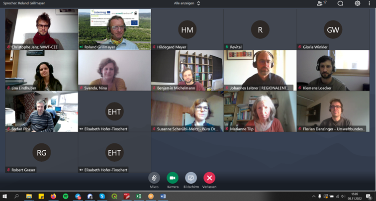
Image 2.: Workshop participants in discussion © Christophe Janz
In the following two presentation, Mr Florian Danzinger and Mr Gebhard Banko from the EAA presented the online platform Lebensraumvernetzung.at, which offers up-to-date and publicly accessible data on ecological connectivity in Austria, and on-going efforts to render the ecological corridor network visible in Austria’s national Forest Development Plan. In light of the fact that Austria does not have a national landscape plan for nature conservation, this being a matter decided at the level of the Länder, the Forest Development Plan offers the opportunity to visualise ecological corridors in one map and database used by the entire country.
Participants confirmed that the Forest Development Plan is an often-consulted tool, mandatorily so if any forested areas were concerned, and that this was a good step to increase the visibility of ecological corridors. The question was also raised, however, whether the issue might be missed in cases where no forested areas were affected, particularly at the level of municipal planning decisions. In these cases, participants and speakers agreed that spatial planners needed to take on greater responsibility in making local decision-makers and mayors aware of the issue. Another participant interjected that, while the Forest Plan was an important first step, the regional development plans of the Länder would be the most relevant instrument in which the corridors should be represented, as they enjoyed greater visibility. Mr. Grillmayer conceded that one weak point of the Forest Plan was its 10-year lifespan: towards the end of this period, there will no doubt be differences between the data presented there, and the continually updated data in the Lebensraumvernetzung portal.
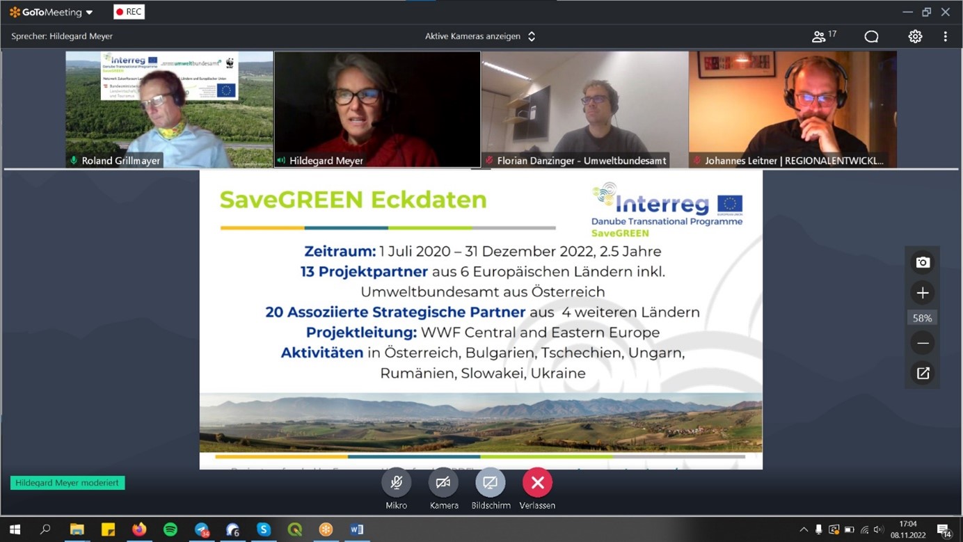
Image 3.: Presentation by Hildegard Meyer on SaveGREEN © Christophe Janz
The last presentation was held by Ms Hildegard Meyer from WWF-CEE, who gave an overview of the SaveGREEN project and and its activities in the two Austrian pilot areas ‘Kobernausser Forest’ and ‘Pöttsching’. The attendees then opened a discussion on the consideration of ecological corridors in EIA and SEA procedures in Austria. Participants shared that, while the topic is growing in importance, there are strong divergences between the individual Länder, particularly regarding the extent to which the issue has already been anchored in local legislation and development plans.
A spatial planner working primarily at the local level in municipalities noted that there was often a call for more concrete data on the occurrence of specific species in a given area. In response, another participant noted that this wasn’t a discussion that planners should get involved in in the first place. Considering the long periods of time and resources required for a solid monitoring programme, he called on his colleagues to uphold the modelled corridors represented in the maps compiled by the EAA. Irrespective of whether a specific protected species occur in these areas or not, they represent landscape elements of high natural value that need to be protected.
The final discussion centred around a look to the future and the challenge posed by the strong push for an expansion of solar and wind energy production. Given the immense need for expansion in these sectors to meet national climate targets, many feel that these production parks will also need to be erected on currently un-built land, thus posing a potential threat to biodiversity and ecological connectivity. One attendee noted that the risk was particularly acute, as no EIAs will be required for these projects. Two other participants highlighted that while solar parks are often fenced to protect them from theft, which poses a problem for migrating wildlife, some producers are pushing un-fenced projects. Promoting such approaches and directly engaging representatives of the solar sector was viewed as an important next step. Building upon this, another spatial planning expert underlined that, if implemented with the necessary accompanying measures, such projects could even represent an improvement to certain landscapes and ecological connectivity in these areas.