Linking Danube - From timetable book to cross-border travel app - LinkingDanube shows the way forward (EUrope in Vienna)
29-05-2018
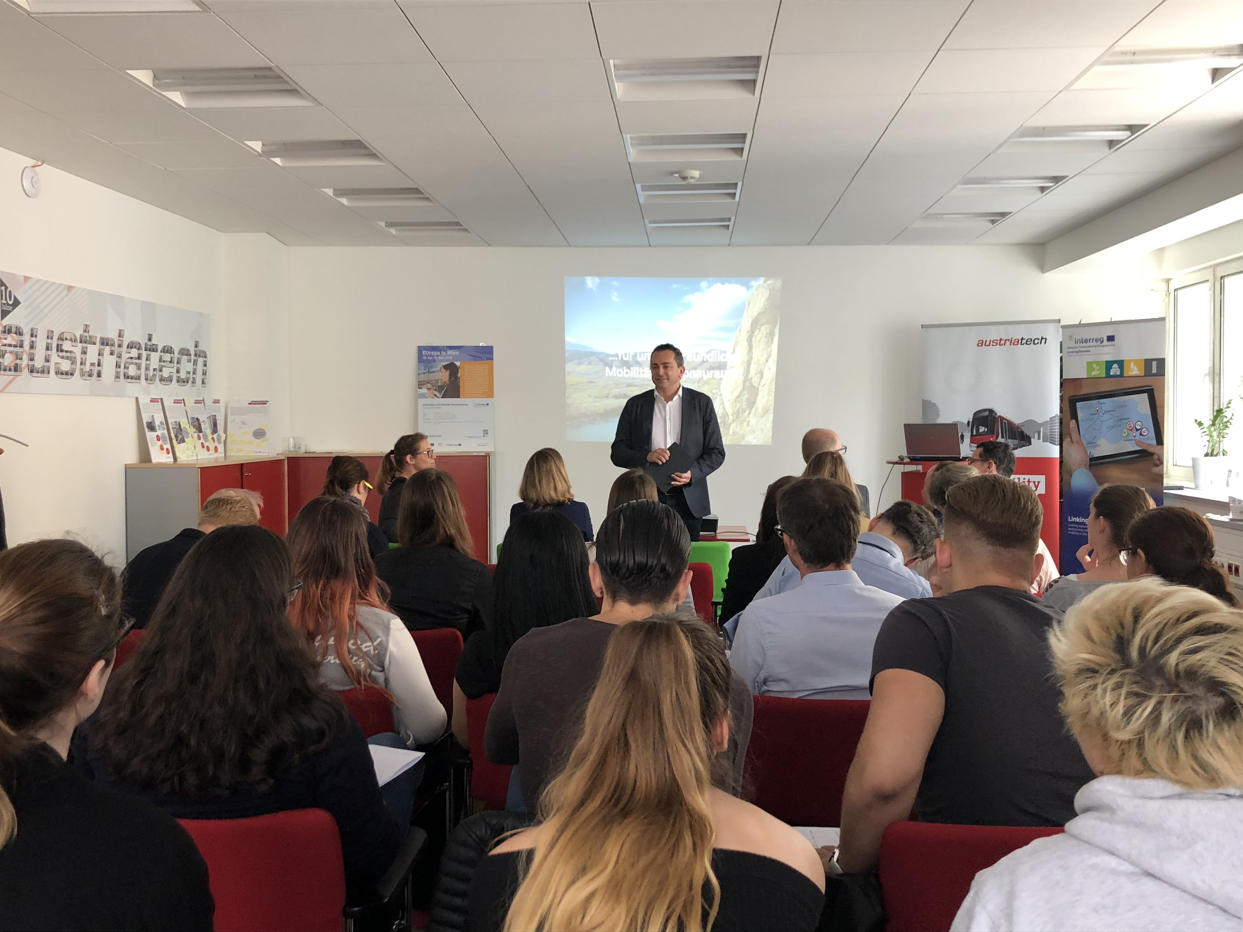
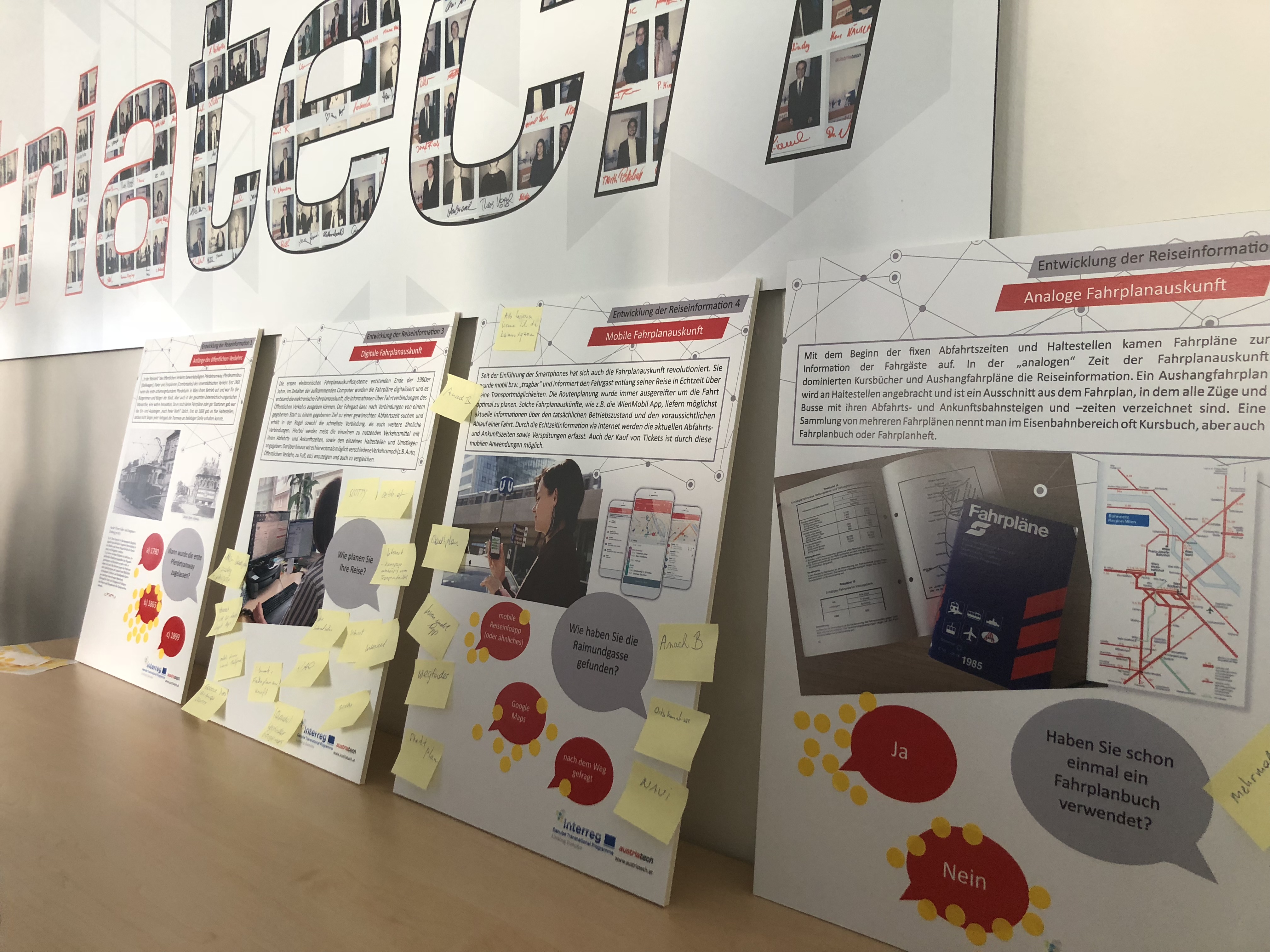
Friday morning, 8:30, Vienna. Like every morning there is hectic activity on the streets, in the subway stations and at the tram stations. People have usually known for years what connection you need to make to your workplace. But for some it goes this morning to a new destination: The more than 30 interested people who are going to AustriaTech's premises this day. AustriaTech is going to provide information about linking services and travel information services with the aim to make projects co-financed by the EU visible for the public within the framework of the event "EUrope in Vienna".
The first question to visitors is how they have found their way to Raimundgasse. Some used the common apps, like AnachB or Wien Mobil, others would have made use of their local knowledge. In its role as subsidiary of bmvit (Ministry of Transport, Innovation and Technology) AustriaTech has played a leading role in the development of travel information services for many years, explains Martin Russ, Managing Director of AustriaTech, the reason for the invitation. The good contacts in policy and industry are probably also one reason why the podium is so representative today. With Alexandra Reinagl, the Managing Director of Wiener Linien exciting insights into the development and operation of the urban public transport operator is provided.
With 778,000 annual tickets and over 950 million trips, Wien er Linien is definitely one of the major players in public transport sector. The goal is to reach “the One-Billion-Passengers” goal by 2020. However, the company is not worried if the distribution is also shifting towards other modes of sustainable transport in the meantime. "When passenger numbers fall in favour of other environmentally friendly transport modes, I don't get nervous," explains Ms Reinagl. In general, the company's "Wien Mobil app" is also keen to offer a decent modal split. Firstly, it is not possible to reach all areas efficiently by subway or bus and secondly, there are occasions when a taxi or a bicycle are the more suitable alternatives. This is another reason why the app has been designed as a "Swiss Army Knife of Mobility". Not only train, bus or tram connections are displayed in the app, but also the nearest taxi stands, car sharing locations or bicycle rentals.
Previously, in the pre-smartphone era, you had to search for the best connection in timetable books and city map guides combined for an easy route search. However, a new era began with the invention of the navigation system for cars, explains Martin Böhm, Head of Business Unit for Mobility Technologies and Services at AustriaTech. In 1998 there was the first prototype and in 2002 the first TomTom navigation system came onto the market. AustriaTech has accompanied this development on the part of the public sector - which has also built up geodata inventories in the field of mobility - right from the start. However, the fact that TomTom is no longer a common term for large part of the audience present this morning, is also due to global players such as Google. With Google Maps, for example, you can find routes all over the world. However, not everyone of our listeners would probably have thought that Google would also have disadvantages. "Google uses its own dynamic data, i.e. they are tracking our mobile phones and use it to determine whether or not there is a traffic jam on a road. Apart from privacy concerns, it has to be said that Google will not warn me half a day in advance if a construction site pops up somewhere," explains Martin Böhm. It would be possible, since the data of Wiener Linien are offered openly. Rather, one would additionally be distracted by points of interest, i.e. advertisements for restaurants or businesses in the map. So, the main difference between local apps and Google Maps is the business model.
That the apps like AnachB already know beforehand that the bus cannot drive through Neubaugasse this Saturday, as there is a flea market there, is also due to players such as Verkehrsauskunft Österreich. Stefan Mayr, Managing Director of VAO, explains the underlying operational model. As a background distributor of traffic and travel data, VAO receives data from public authorities, so one can provide precise predictions about traffic disruptions or bottlenecks. VAO offers its business customers ready-made apps or websites in white label format that can be individually adapted to the respective design. This ensures that harmonised and synchronised data is made available throughout Austria.
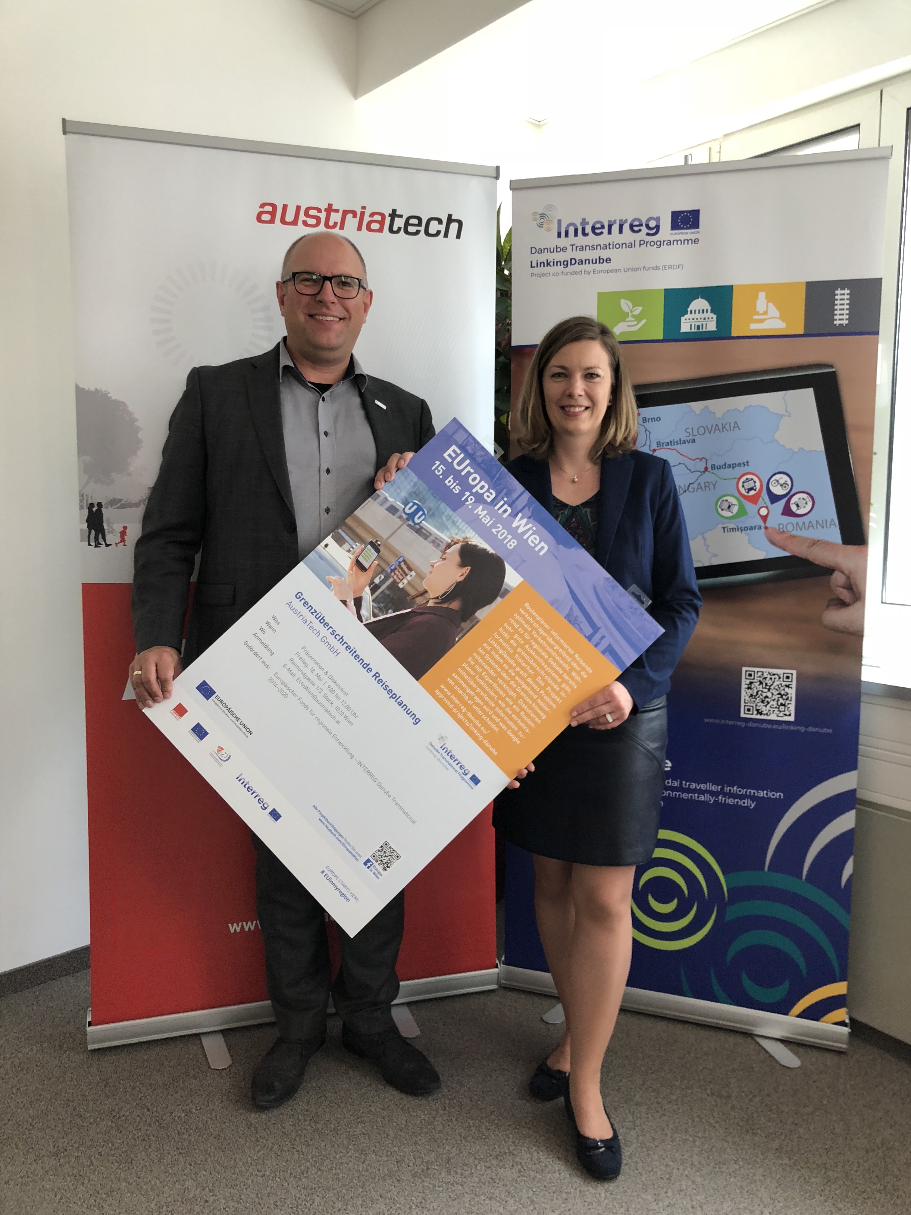
But what mechanisms work when you want to travel from Vorarlberg to Romania, for example? Do I need to use a different portal for each region I travel through? To ensure that this is no longer the case in future, Bettina Neuhäuser from AustriaTech is working on the Linking Danube project as project coordinator to implement a service that links a wide range of travel information services across borders. "You have to think of our system as a waiter serving food from ten different restaurants at the same time. From the menu I can now put together a meal for myself as a guest that offers a Romanian starter, a Hungarian main course and at the end an Austrian apricot dumpling. The waiter then looks up all these kitchens according to our wishes and compiles the menu reliably," explains Neuhäuser pictorially. A comprehensive system was soon to be offered in the Danube region. However, the path to this goal is very difficult, as the conditions can vary greatly not only in the different countries but also from region to region or city to village.
This cross-border cooperation is made possible by the INTERREG Danube Transnational Programme possible. INTERREG stands for "European territorial cooperation" and is part of the European Union's structural and investment policy. For more than 20 years, it has been supporting cross-border cooperation between regions and cities that influence daily life, as here in LinkingDanube in the field of transport, said Neuhäuser.
Although the volume of information of this day was high, the visitors were very relaxed at the joint coffee and pastry afterwards. Concrete and descriptive examples were used to convey a highly technical subject area in an exciting way.
For more information, please visit these pages:
Wiener Linien: https://www.wienerlinien.at/
Verkehrsauskunft Österreich (VAO): https://verkehrsauskunft.at/
AustriaTech: http://austriatech.at/
Further Information about INTERREG Europe in general and the INTERREG Danube Transnational Programme (DTP) can be found at the following pages: