JOINTISZA - Hungarian pilot area will assist in gathering drought and flood information for the Tisza River Basin
12-03-2018
The JOINTISZA project has decided on a new pilot project area. The selected area, 2884.6 km2 in size, is part of the TIKEVIR water management system and KÖTIVIZIG operational area.
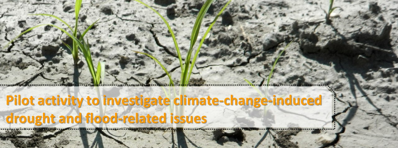
The main goal of the pilot activity is to investigate climate-change-induced drought and flood-related issues by focusing on a small region within the Tisza River Basin. The task will be carried out using the Shared Vision Planning (SVP) concept, following the establishment of an ad hoc task group. The task group, together with the Secretariat of the Carpathian Convention, will meet three times to outline joint challenges and problems in the pilot area.
The specific aim of the pilot project is to develop a one-year forecast for drought periods and to determine how to optimise available water resources according to ecological and irrigation demands. While the pilot area is in Hungary other Tisza countries will be present as observers for testing and learning.
The pilot area
The TIKEVIR distribution system, built on the Tisza River Basin, supplies water from the Tisza to the Körös River. This system supplies the Jászság and Nagykunság regions, and part of the region between the Körös and Maros rivers, with water for irrigation. The pilot area also includes the Nagykunsági irrigation system.
The pilot area lies in the middle of the Hungarian Great Plain at a low elevation of between 79 and 100 metres. The area is bordered on the west by the Tisza river, and by Lake Tisza on the north. The eastern border runs along the Hortobágy-Berettyó region and the Tiszafüredi main irrigation channel, and its southern border is the Hármas-Körös region.
This region has the driest climate in the country, with an annual rainfall of around 520 mm. In the middle of the Hungarian Great Plain, the annual average temperature is between 10-11°C, and the mean temperature is around 21°C in July. The mean annual temperature fluctuation is 23.0-24.5°C. The territorial and temporal distribution of the precipitation is also extreme. The annual number of sunshine hours in the Hungarian Great Plain exceeds 2,000 hours. Such climatic conditions create a high probability of drought.
Due to climate change, drought is spreading over larger areas and occurring more frequently. And while demand for irrigation is increasing, water resources for irrigation are decreasing, especially in the Great Plain. Distribution of water resources is a serious and difficult task, and this pilot area can effectively represent the nature and magnitude of drought and flood-related concerns.
Pilot project deliverables
- Minutes of the Ad-Hoc Task Group (TG) meetings
- A manual to promote knowledge development and knowledge transfer related to climate change issues (drought and flood-related issues)
- Guidelines for assessing modelling results
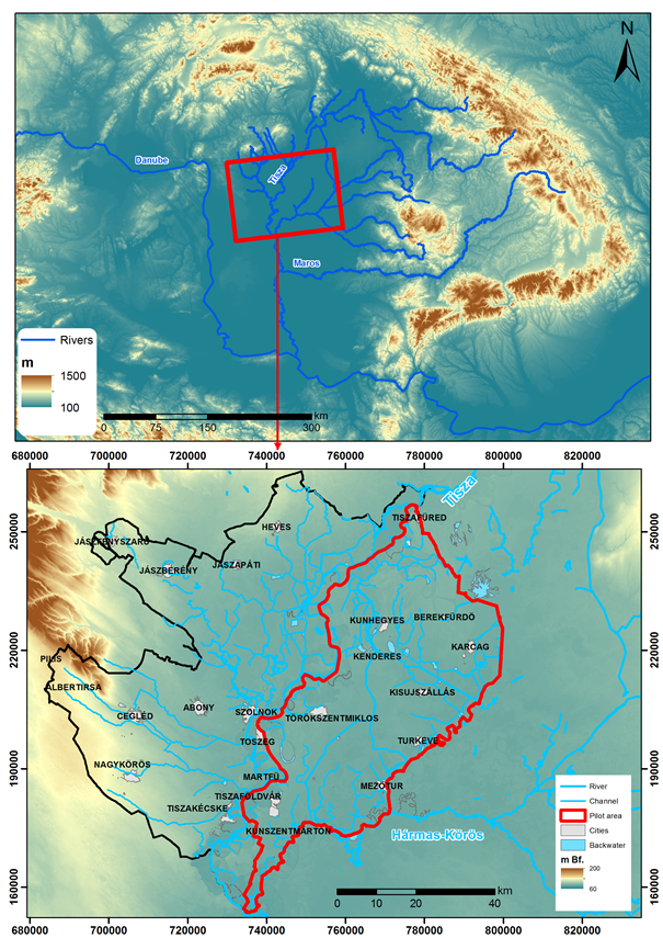
Topographical map of the pilot area (© KÖTIVIZIG, Tamas Pravetz and David Vizi)