D2C DaRe to Connect - Supporting Danube Region’s ecological Connectivity by linking Natura 2000 areas along the Green Belt
GIS Tool
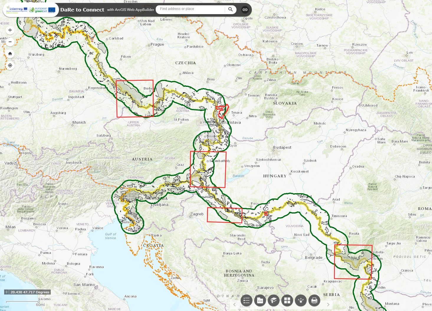
Based on the developed methods that take advantage of using High Resolution Layers and Sentinel-2 satellite data to classify the Broader Habitat Types and their connectivity as well as for identifying ecosystem service provisions and by GIS data processed during the implementation of the D2C project, a user-friendly GIS tool was developed. It offers local and regional stakeholders, that are dealing with ecological network preservation and restoration in the DTP Programme area - especially within the Pilot Regions but also beyond, a tool to identify natural features and potential ecological corridors on local and regional level along the European Green Belt.
Particularly staff members of authorities responsible for nature conservation and Natura 2000 sites can profit from the GIS tool by identifying the condition status of Natura 2000 habitats by remote sensing data instead of conducting or commissioning expensive field work. The geodata provided by the GIS-tool can also serve as a basis to select areas and plan for a more detailed and targeted assessment of habitats in the field.
Thus, using Sentinel-2 data, crutial regions for the Natura 2000 network as well as negative or positive developments of the European Green Belt can be recognized due to the current available spatial data (short time series of data collection by Sentinel-2 satellites of 2017 and 2018).
The small and user-friendly free GIS tool is accompanied by an online manual in order to guide the user through the functions of this web tool and benefit from the provided results asmuch as possible.
In addition, you can read the presentation provided at the GIS Tool training webibar to get a context and further details.