SaveGREEN - Zakarpattia pilot area: a critical eco-corridor at the geographical heart of Europe
28-01-2022
Our next virtual trip within the SaveGREEN project takes us to the gorgeous Zakarpattia Region (or Oblast), located in western Ukraine. This unique pilot area, comprising roughly 12,780 km2, lies within the Zakarpattia lowlands and along the western slopes of the Ukrainian Carpathians. On the political map, the Zakarpattia Region borders four countries: Poland, Slovakia, Hungary, and Romania. A curious fact is that territory very near the Zakarpattian village of Dilova marks the precise geographical centre of the continent of Europe.
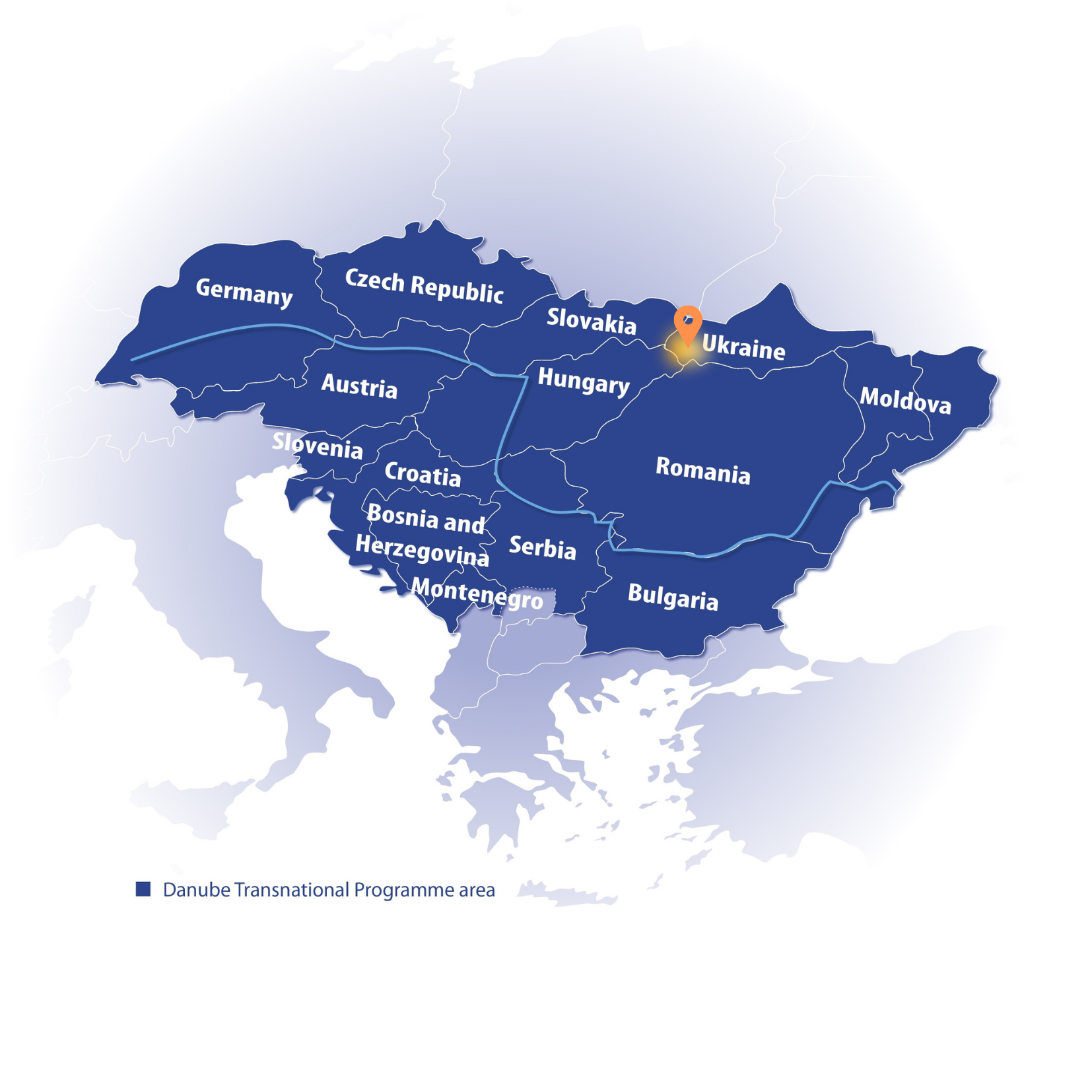
Pilot area map, Eszter Sebestyén, CEEweb
The Zakarpattia Region features four main topographic relief types: mountains, foothills, river valleys, and lowlands. Forest covers roughly half the territory, and around 80% of the territory is mountainous. Zakarpattia’s Mount Hoverla, which rises to 2,061 metres, is the highest mountain in all of Ukraine.

Zakarpattia Region of Ukraine: © WWF-Ukraine
Here are some more fun facts about Zakarpattia!
- The Carpathian Biosphere Reserve, established in 1968, consists of six separate preservation massifs and two botanic zakazniks (Chorna Hora and Yulivska Hora), and is part of UNESCO’s World Network of Biosphere Reserves.
- Those in charge of caring for the Reserve have been awarded a European Diploma for their work in preserving the area’s natural, cultural and historical heritage.
- The many areas of virgin forest in the Zakarpattia region are among the largest in Europe.
 Carpathian Biosphere Reserve, Zakarpattia Region: © Suzanna Tymochko, WWF-Ukraine
Transboundary connections
The Zakarpattia Region is a critical area for cross-border animal migration, and one of the most important eco-corridors for the movement of large carnivores between Slovakia, Poland, Romania, Hungary, and throughout the Carpathians in general. These corridors facilitate micro-evolutionary processes of wildlife and therefore play a critical role in maintaining a stable condition of species abundance.

A ‘photo trap’ capture of a wild lynx in the Yasinyansky Forest: © WWF-Ukraine
Zakarpattia’s present and future
The main obstacles to functional connectivity for wildlife in the Zakarpattia Region are the M-06 Kyiv-Chop Freeway, regional and county road networks, the Tisa River and its tributaries, and installed power lines. Also, the pilot area is located at the crossroads of critical international and Ukrainian transport routes. The rapid development and reconstruction of modern highways has negative impacts on both the landscape and the living beings that inhabit it, including humans. Specifically:
- Wildlife habitats are fragmented into small, isolated areas.
- Obstacles from built infrastructure prevent wild animals from migrating freely between areas necessary for their health and survival.
- Animals appear with greater frequency on highways and motorways in attempts to change location, resulting in higher numbers of accidents and fatalities, both for wildlife and humans.
Taken together, such conditions can lead to significantly reduced animal populations, and even species extinction in certain areas.
Mitigation measures
The construction of ecological crossings for wildlife helps to ensure the safe migration of animals, supports biodiversity conservation, and improves road safety.
The National Transport Strategy of Ukraine 2030, adopted in 2018, takes into account proposals from WWF-Ukraine on the greening of transport infrastructure and the need to elaborate ecological transition strategies for wildlife.
Sectors and stakeholders
SaveGREEN is working in the Ukrainian pilot area to facilitate cross-sectoral cooperation between several groups of stakeholders. The project team is also analysing the structural and functional status of ecological corridors, and combining its findings with knowledge obtained through numerous stakeholder exchanges to raise awareness of existing concerns and other issues that might arise during and after the project.
The SaveGREEN project is primarily engaged with the following sectors and stakeholder groups in the Zakarpattia Region:
- Transport (freeway, railways, roads)
- Agriculture
- Forestry
- Protected Areas Directorate
- Hunting
- Water management
- Emerald network sites
SaveGREEN has also produced an informative factsheet so you can learn more about the project’s fascinating pilot areas.
Our virtual tour of SaveGREEN project pilot areas travels next to Bulgaria. This will be the final stop on this exciting journey, so please stay tuned for the next article!
Follow our social media channels on Facebook and Twitter to stay updated, or subscribe to our newsletter to learn more about the project!
Save nature: SaveGREEN!
Author:
Suzanna Tymochko, Project Expert, Ukraine
Contributor:
Eszter Sebestyén, CEEweb for Biodiversity