D2C - Habitat and population connectivity analysis reveals fragmentation
09-11-2020
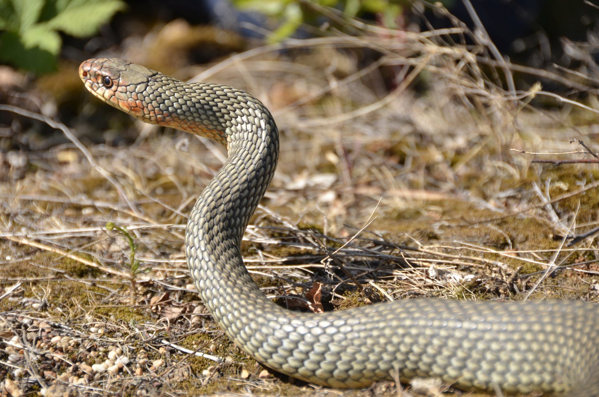
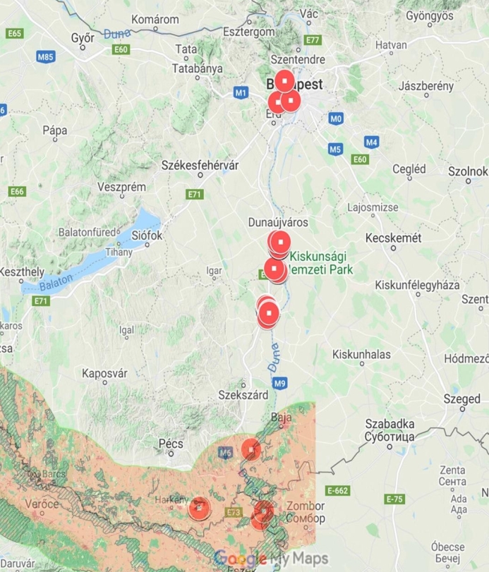
As a part of the D2C project activities, Duna-Drava National Park Directorate, has set the goal to analyse the connectivity of Caspian whipsnake (Dolichophis caspius) distribution in the belt-shaped Danubian target areas adjoining the 50 km wide Green Belt zone and in those continuing towards the south along with the Green Belt. In addition to Caspian whipsnake distribution in Hungary, the analysis extended onto the Serbian-Croatian border zone below the Serbian-Croatian-Hungarian border junction in the south where it meets the European Green Belt, looking at the available international Caspian whipsnake occurrence data. Our connectivity analysis focused on linkages or separation between distinct habitats, also paying attention to the genetic distance or connection between Caspian whipsnake distribution patches (possible subpopulations).
Evidence from genetic analyses revealed a varied degree of genetic distance between spatially distinct localities, apparently pointing to the conclusion that the populations along the river Danube were initially formed as one almost continuous unit or at least a close series of interconnected groups. After the last Ice Age, the Carpathian Basin was then recolonised by the snakes in multiple waves. As to the present distribution, certain samples show substantial separation, even suggesting inbreeding in the case of one population.
By superimposing the actual observation sites onto geological and ecosystem base maps, it was found that Caspian whipsnakes along the river Danube always prefer the geological surface layers of loess and fine-grain slopes or in some cases the border that these areas form with each other or with river clay. The habitats predominantly lie on borders, in this case, those between woodlands or other woody areas and grasslands or sometimes agricultural areas, even more rarely inhabited artificial surfaces.
The most important Hungarian Caspian whispnake localities by the Danube are all isolated patches, none of them situated within protected areas of national significance or Natura 2000 Special Conservation Areas, and they are separated from each other by anthropogenic habitat barriers. Whether ecological connections or green corridors can be constructed between these areas remains to be determined through further research, mapping and habitat evaluation.
In order to ensure the survival of the Danube-adjacent populations of the strictly protected Caspian whipsnake along the Hungarian, Croatian, Serbian and Romanian–Bulgarian stretch of the river according to the European Green Belt program’s goals, we need to evaluate the possibility of connections between extant localities better. Further studies might still discover previously unknown, small and isolated populations and by getting to know in more detail the population-biological and genetic attributes of the snake we will have better chances to construct green corridors between neighbouring but still isolated habitats.


