ConnectGREEN - The National Ecological Network and its important role in Hungarian spatial planning
06-06-2019
Conservation of ecologically valuable habitats can only be achieved as a result of the effective cooperation of nature conservation and spatial planning. In Hungary, this joint work is guided by the National Spatial Plan and the related Act, which define the spatial extent of the ecological network and the rules applicable to it.
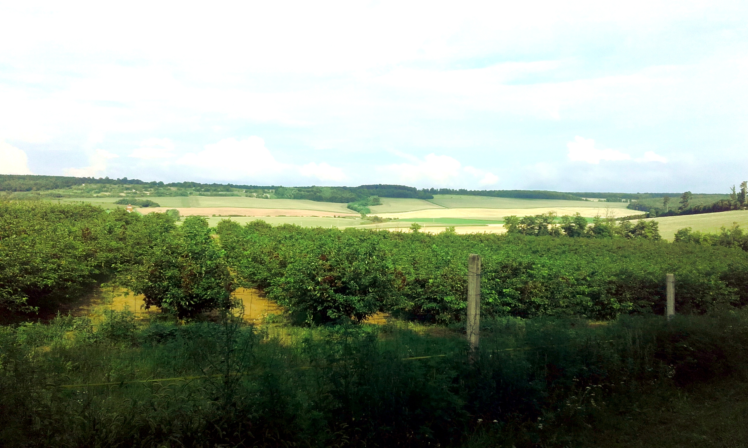
©Máté Klaudia
Most of Europe's natural habitats have been destroyed or fragmented as a result of human use and pressure. The species were relocated to natural and semi-natural habitats retained in small patches compared to the original conditions, and some were forced into artificial or degraded habitats.
If protected areas and the remaining unprotected natural and near-natural habitats are isolated from each other, due to their small size, they will no longer ensure the survival of the wildlife. It has become evident that the individual areas should be assessed and managed in a functional system and in ecological structure, so that the connection of smaller and larger habitats is realized in some way. This professional consideration was based on the recognition of the "ecological network" system, which at the beginning of the 1990s received a key policy focus in international, but especially European nature conservation.
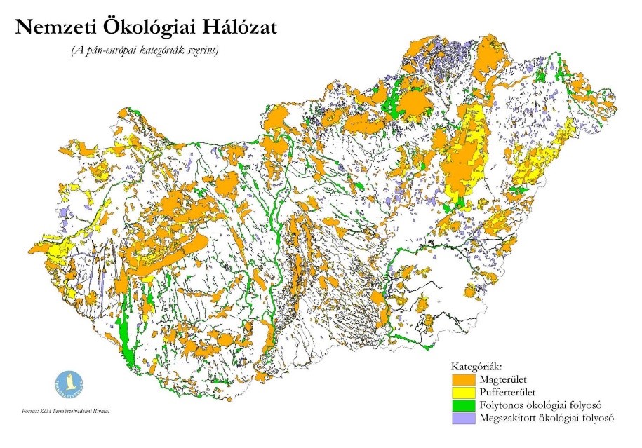
Extension of the previous National Ecological Network in Hungary
A new National Spatial Plan to reduce the bureaucracy
At the end of December 2018, the Parliament passed Act CXXXIX of 2018 on the spatial planning of Hungary and Spatial Plans for Special Regions. This new National Spatial Plan is committed to opening a new era in its explanatory memorandum, the spatial plans for the two priority areas (the capital of Budapest and its surrounding urban agglomeration and the touristic area around Lake Balaton) and the National Spatial Plan are summed up in a common law and partly creating new detailed rules. Municipalities will be given another significant legislative task, as they will have to harmonize their Local Master Plans with the new National Spatial Plan.
One of the strongest reasons for the new National Spatial Plan legislation was to revise large spatial plans at the same time, and jointly regulate them. Another important objective was the simplification and reduction of bureaucracy, which would effectively support the realization of development ideas. In addition to the National Land Use Framework Plan (Annex 2), the new plan includes the pages of the National Zoning Plan (Annex 3), which include:
- Zone of the ecological network core areas, zone of the ecological corridors and zone of the ecological buffer areas
- Zone of the arable lands with excellent production potential
- Zone of forest
- Municipalities concerned by World Heritage sites and World Heritage list nomination sites
- Municipalities concerned by national defence and military area
In Hungary, municipal, county and local master plans also apply the ecological network coverage provided by law, thus ensuring the protection and proper management of the areas, and the long-term survival of the habitats.
ConnectGREEN project aims to contribute to maintaining and improving ecological connectivity between natural habitats, especially between Natura 2000 sites and other protected areas of transnational relevance in the Carpathian ecoregion, namely in Czech Republic, Hungary, Romania, Slovakia and Serbia. Partners from various fields of activity - spatial planning, research, government, nature conservation - joined forces to increase capacity for the identification and management of ecological corridors and to minimize conflicts between infrastructure development and wildlife conservation.